Night #23 and 24 and 25
July 8-10
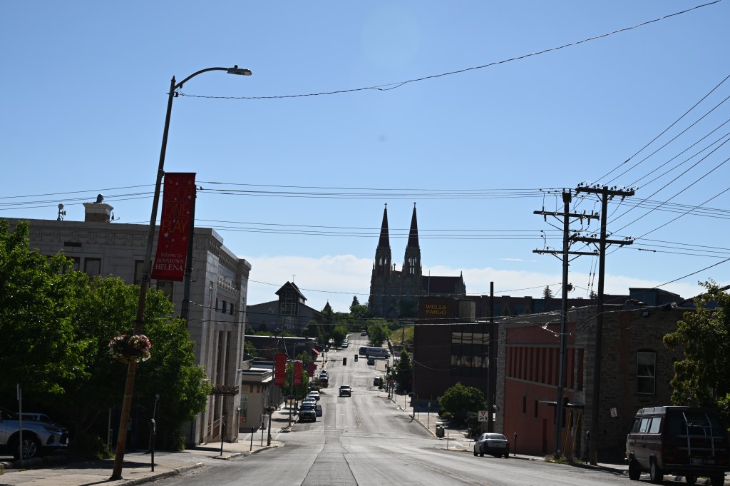
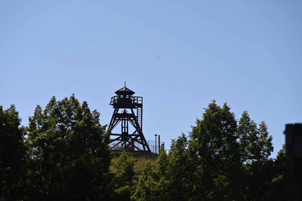
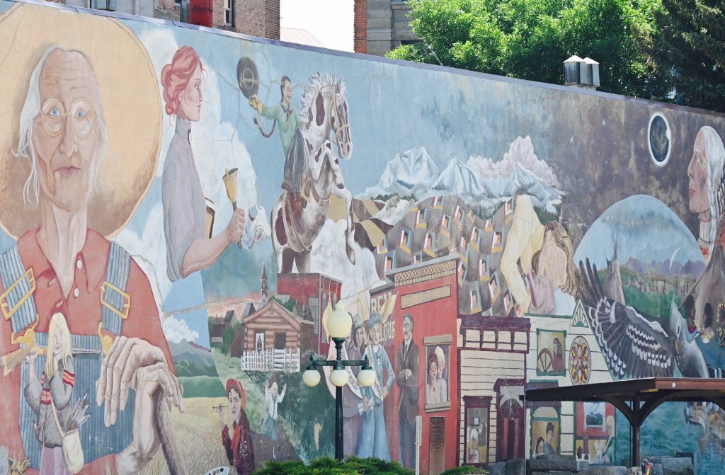
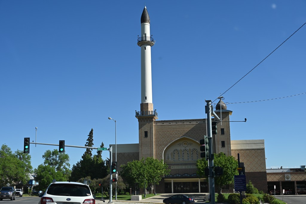
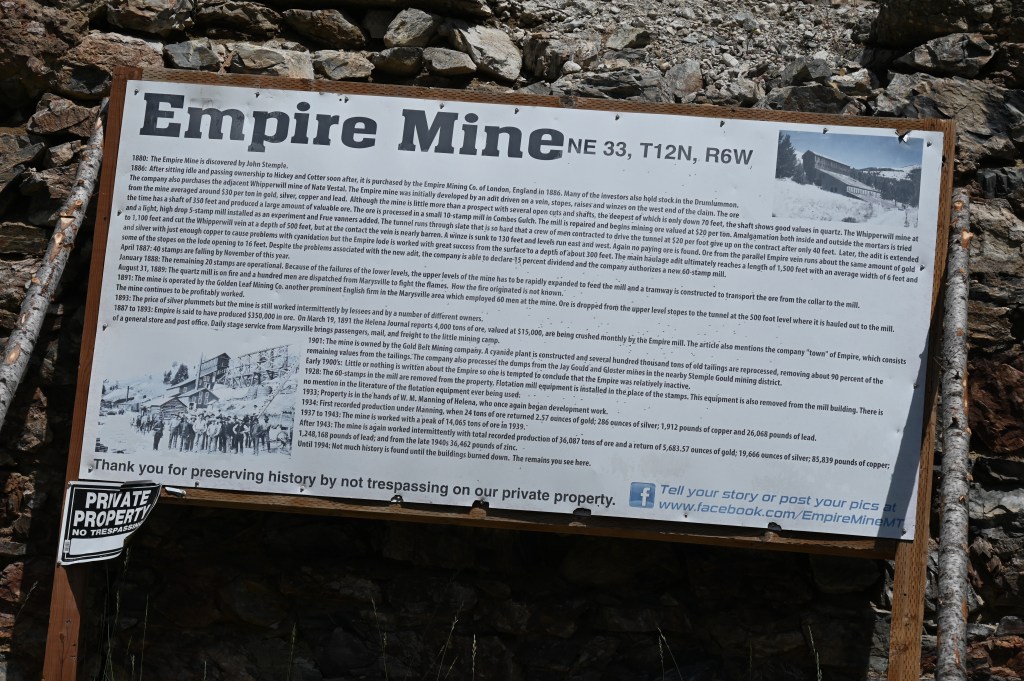
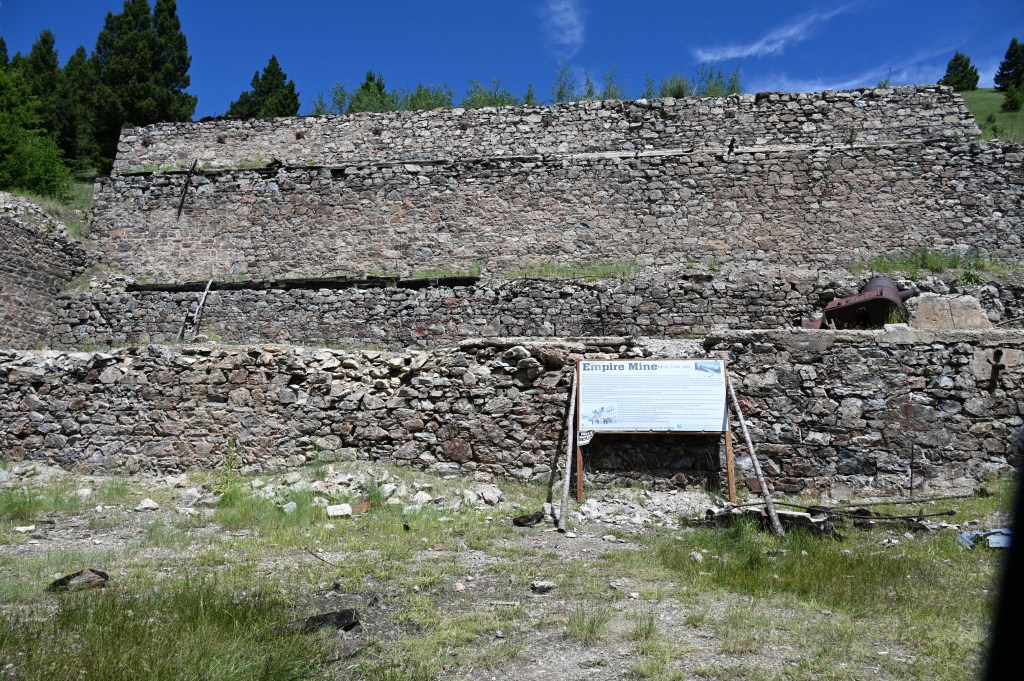
Just a quick drive through Helena, Montana

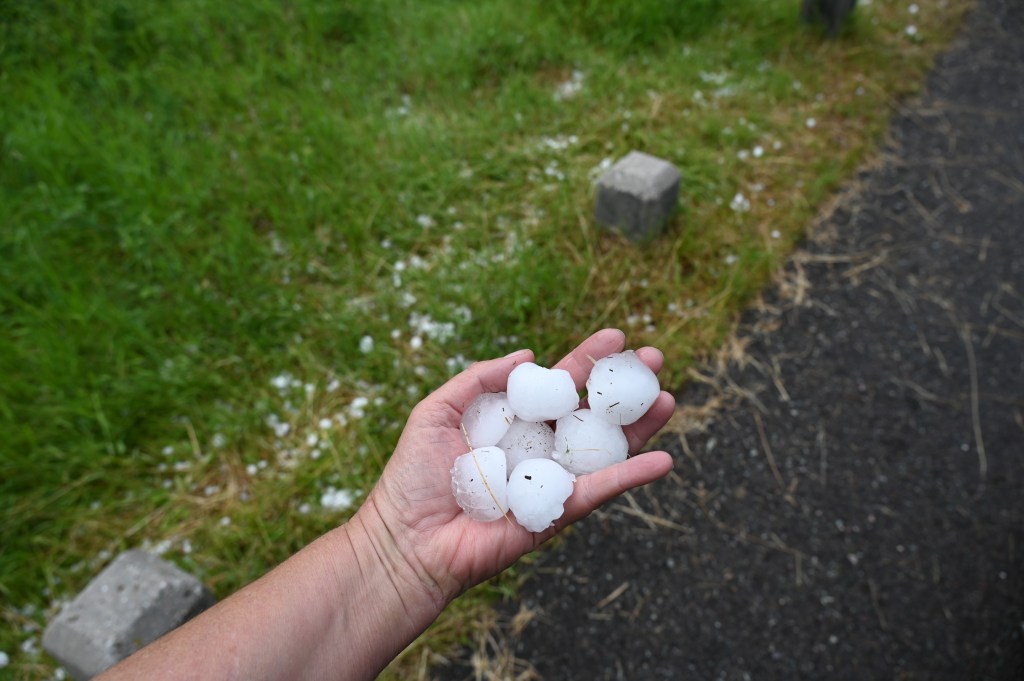
We arrived at Seeley Lake just after a huge hail storm with golf ball sized hail. What a mess. We saw many vehicles and RVs with serious damage. We were lucky the storm had already passed.
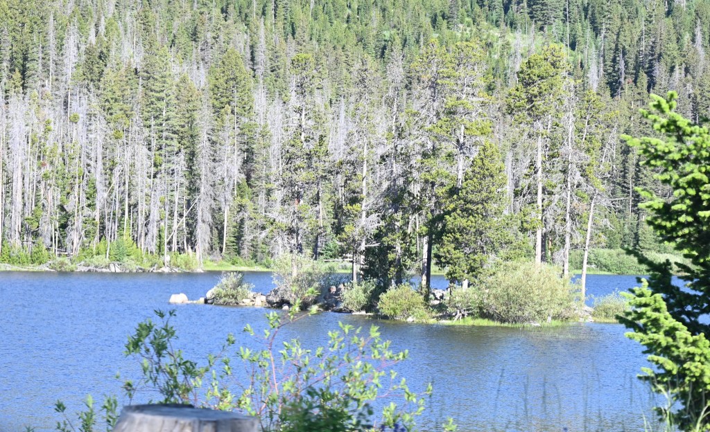
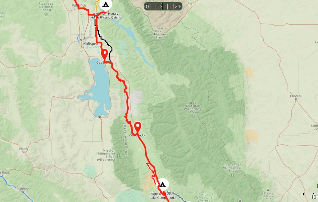
Night #23 Seeley Lake Campground


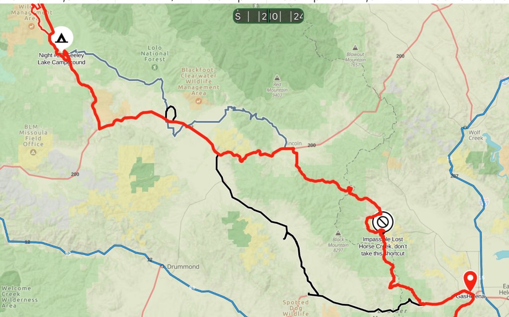
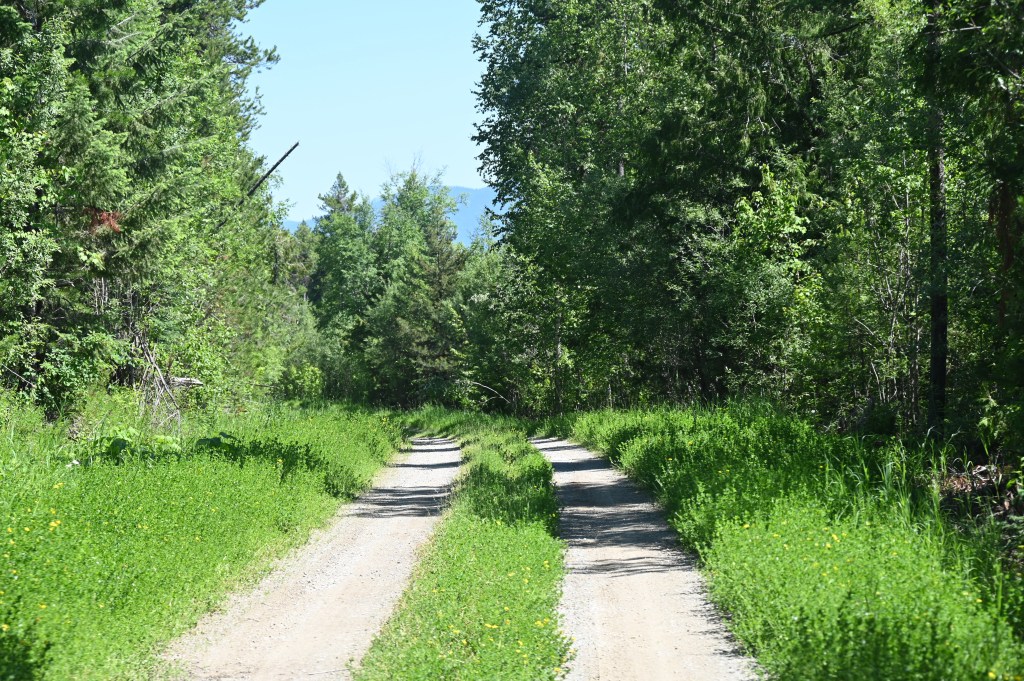
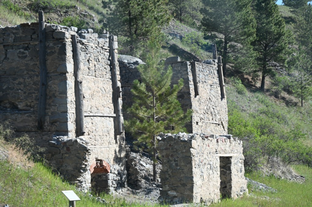
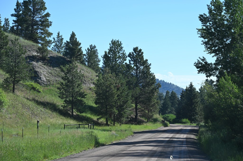
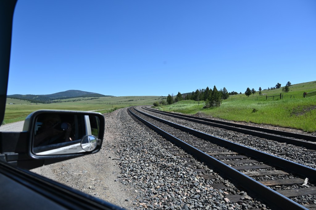
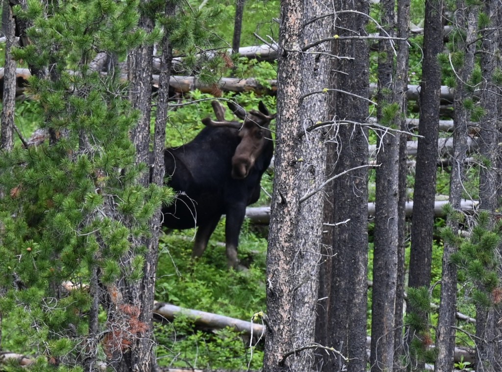
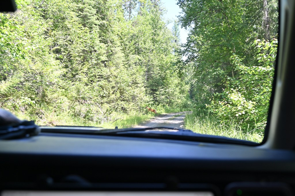
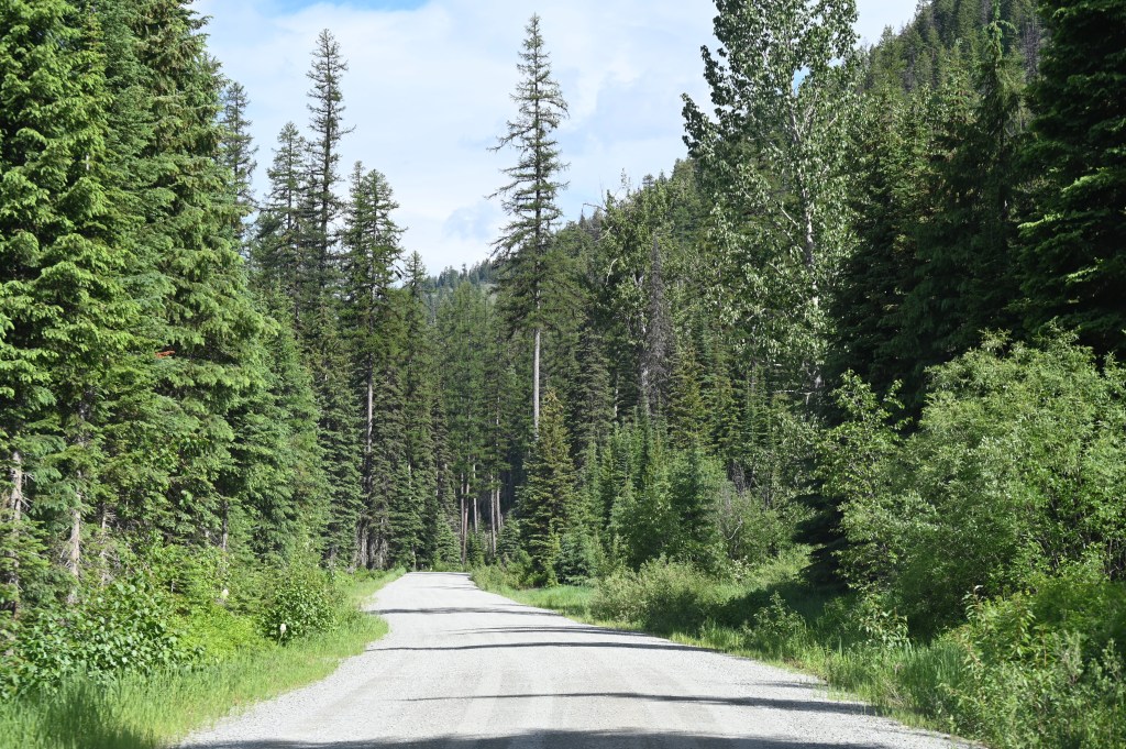
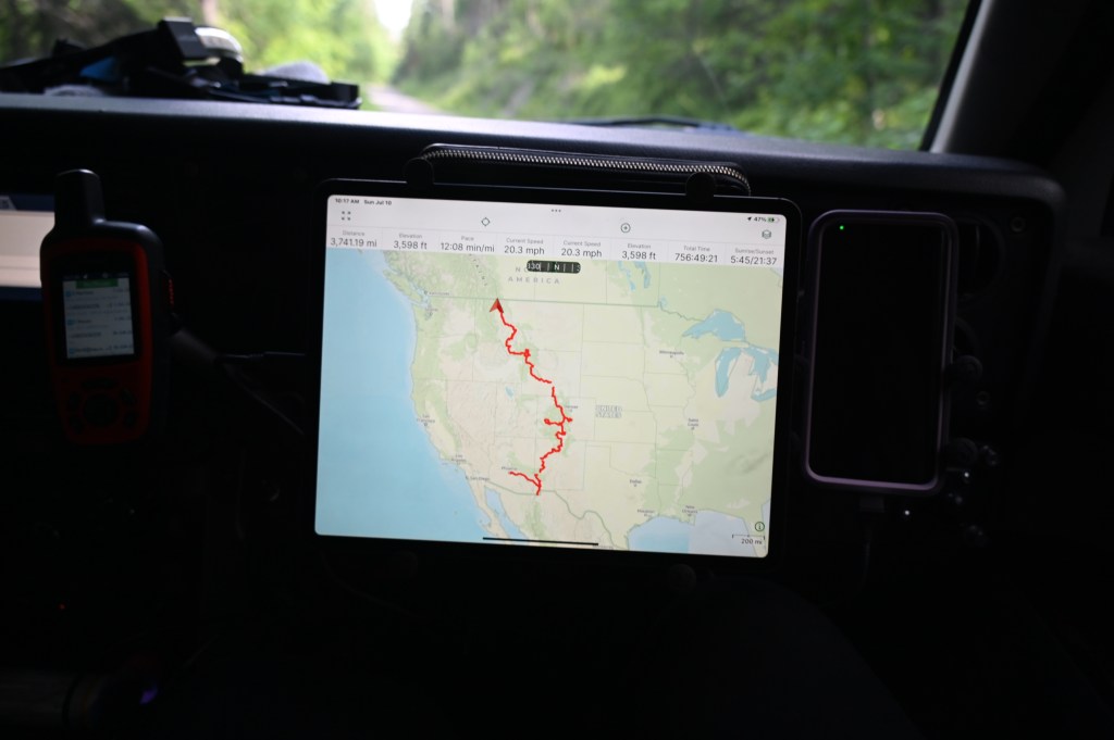
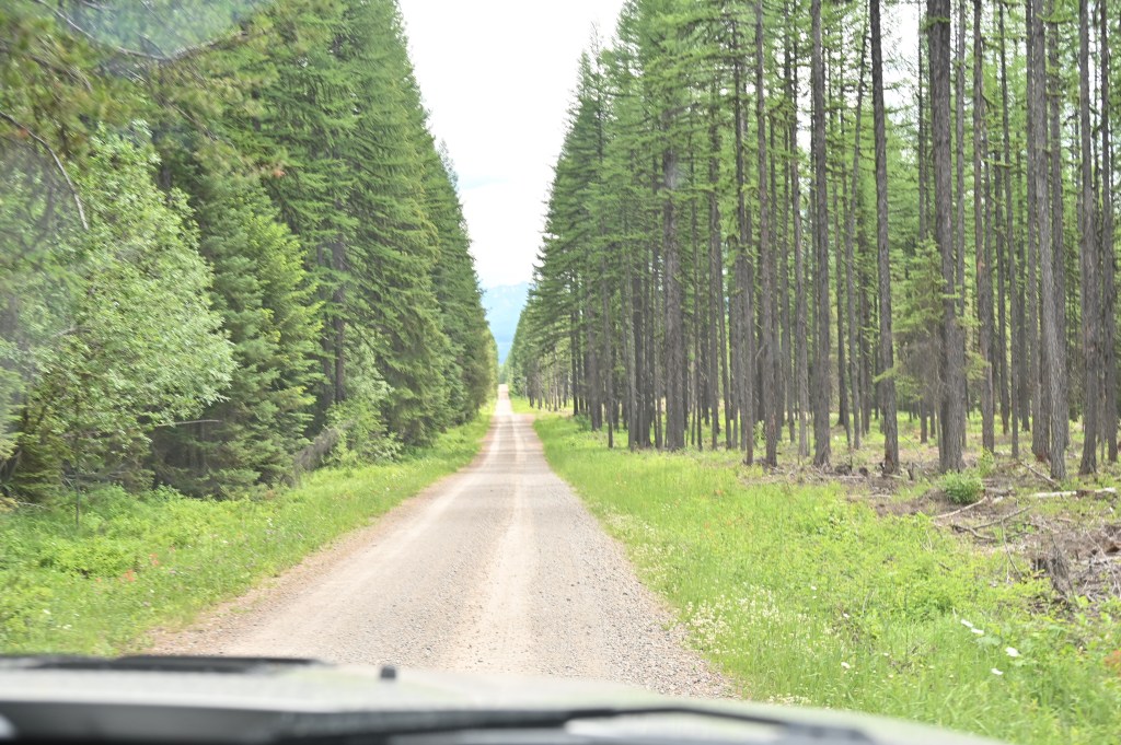
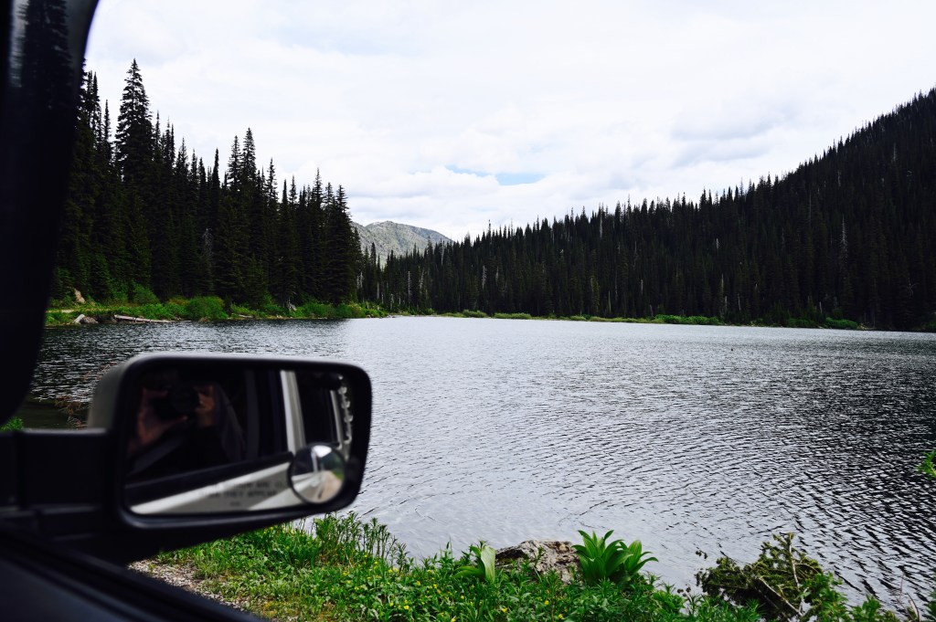
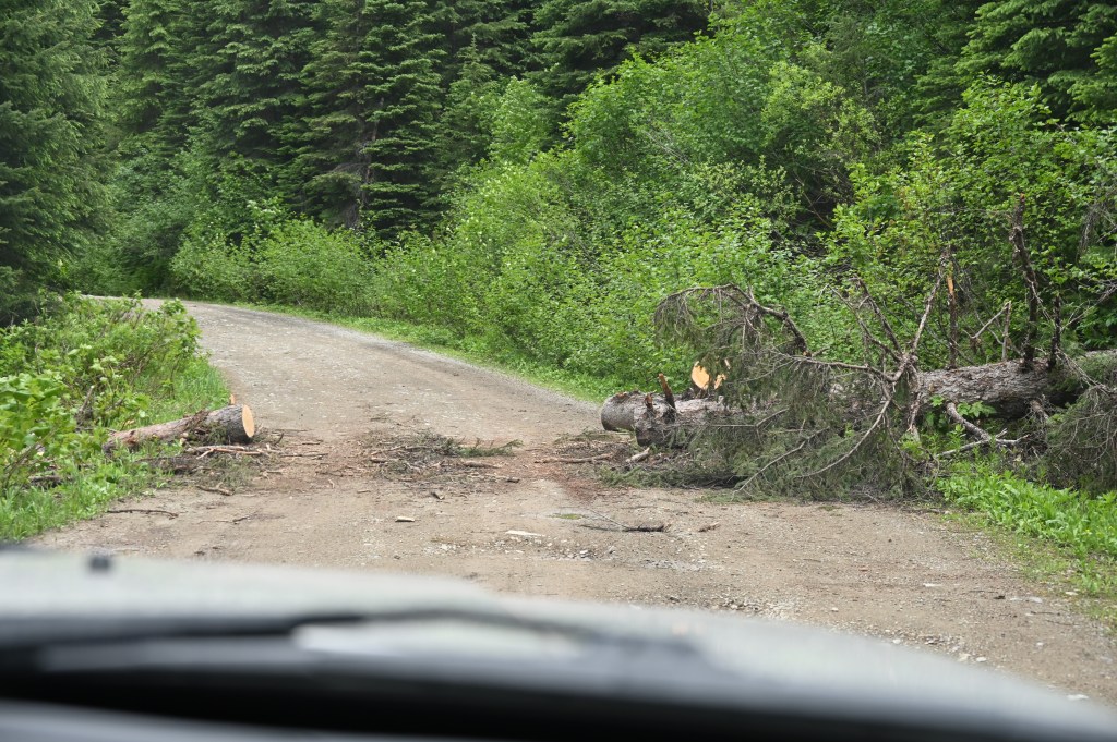
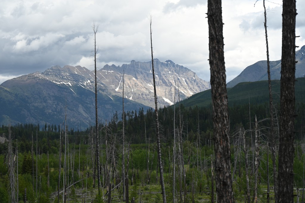
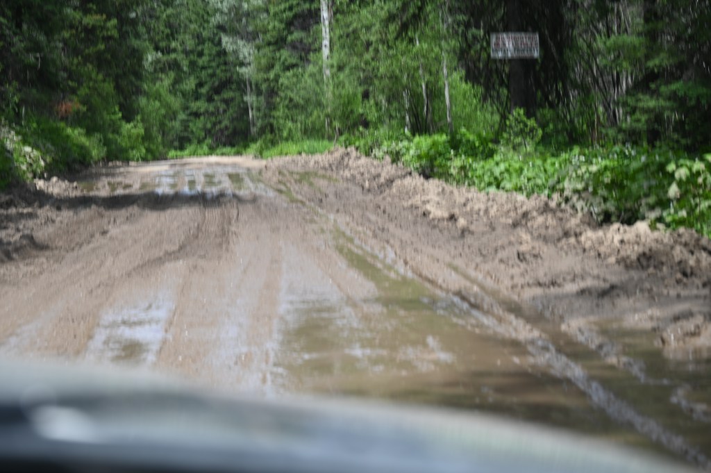
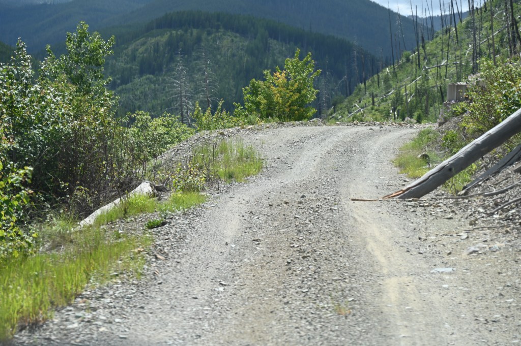
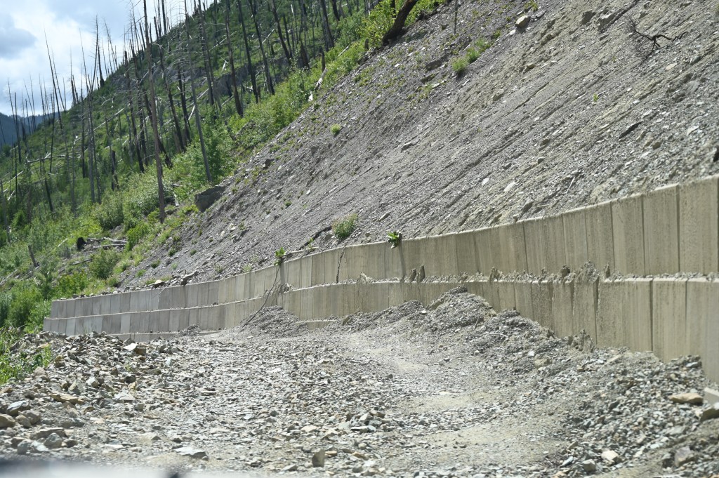
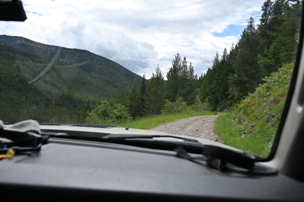
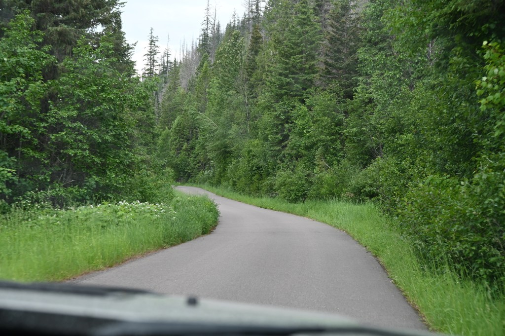
Day 24 and we’re on the gps. Kevin 02 tracks. Wow, almost done. It’s really hard to believe we’ve come this far. Overall, Montana has had the roughest trails. But we have not had any overly aggressive trails. Some have just been really steep.
We knew going in with only two Jeeps we weren’t going to take unnecessary chances, and were never at any point in any danger of getting stuck, or lost!
The track maps worked really well. The only problem areas for us were the fires in New Mexico.
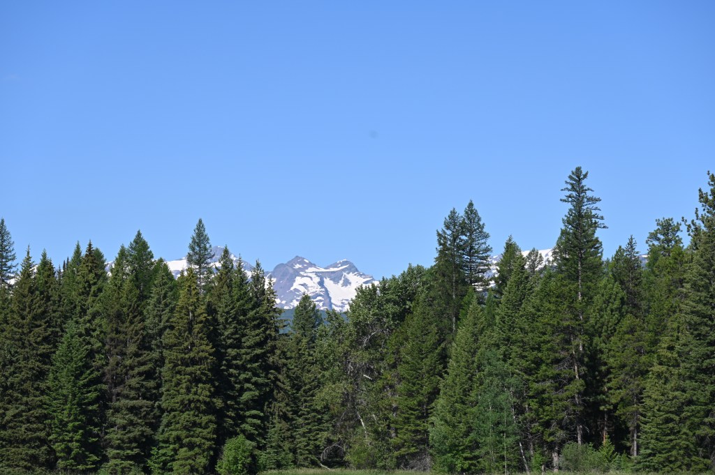
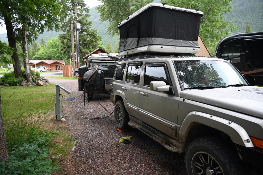
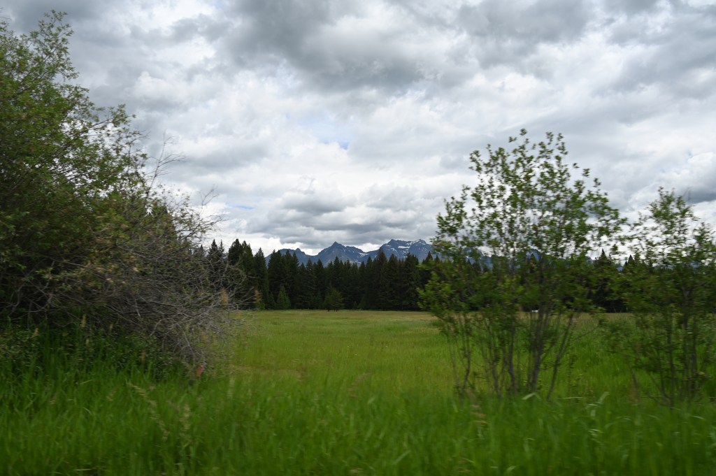
And look how lucky we are! We scored a really nice pull through RV spot in Hungry Horse near Columbia Falls. This is the west entrance area for Glacier National Park so reservations are a must.
But not for us, we’ve been winging it this entire trip, with no clue when we’ll be where, and it’s worked. 😁
Night #24 Bear Grass Campground

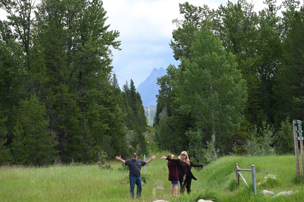
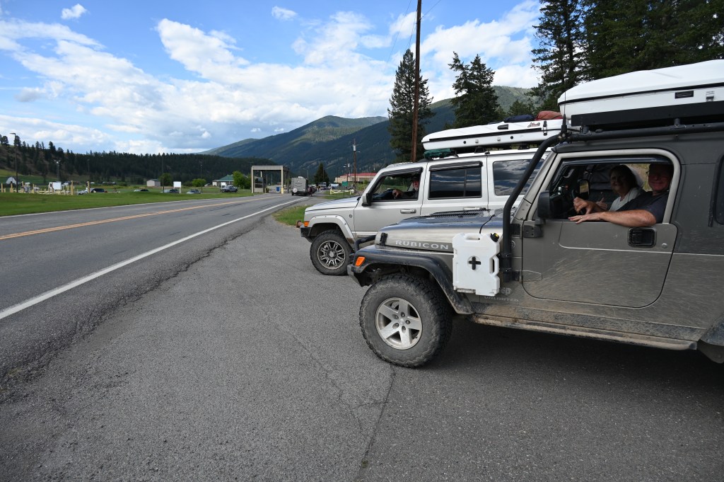
We’re approximately 60 miles from the Canadian border, let’s go!!

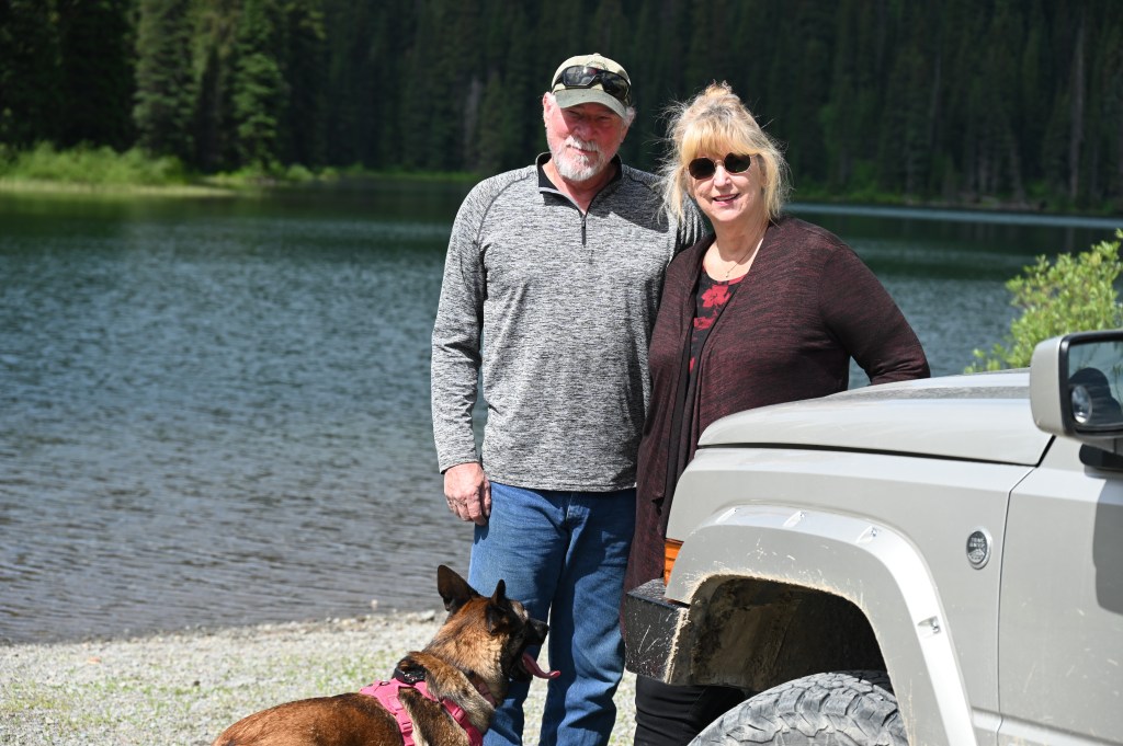
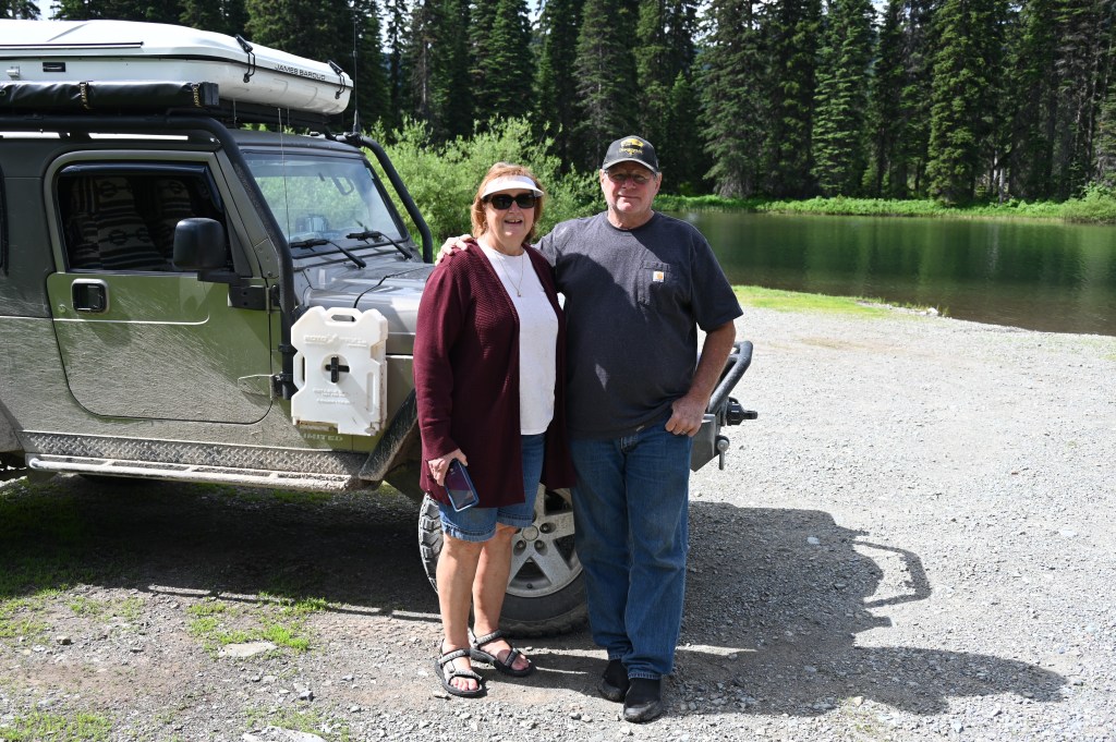
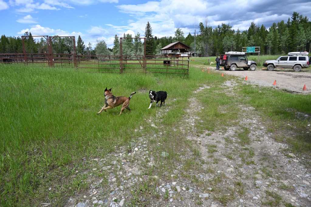
And we’re still smiling! Good friends make good traveling companions.
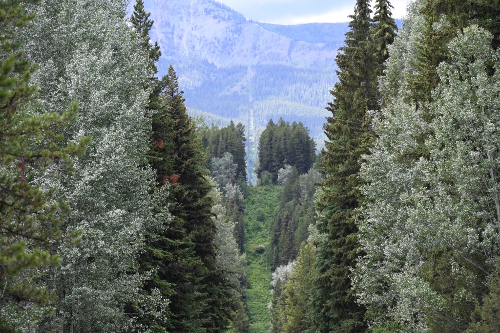
The final run for the border….
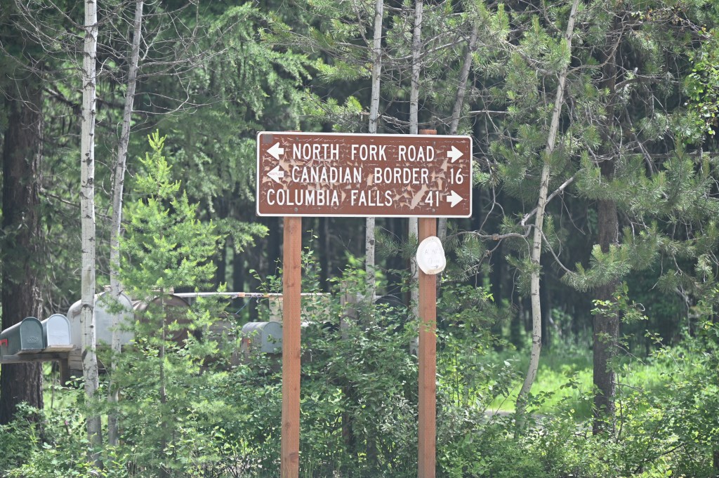
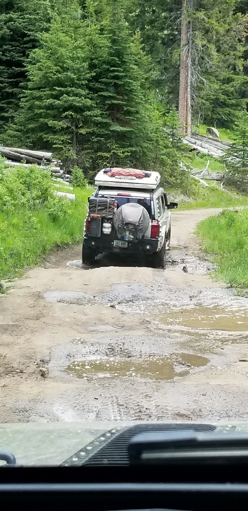
It was actually a slow 16 miles, but interesting. We were glad that the trip stayed interesting and held surprises right to the end.

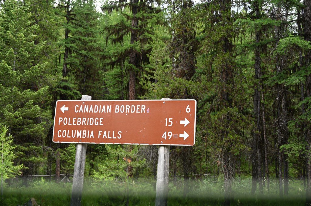
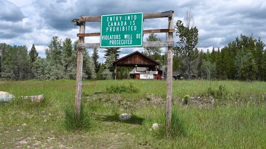
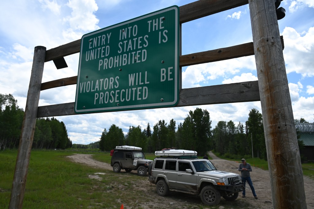
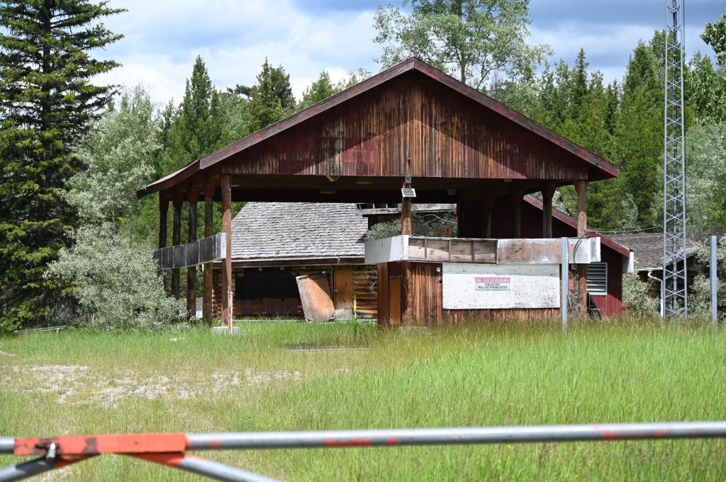
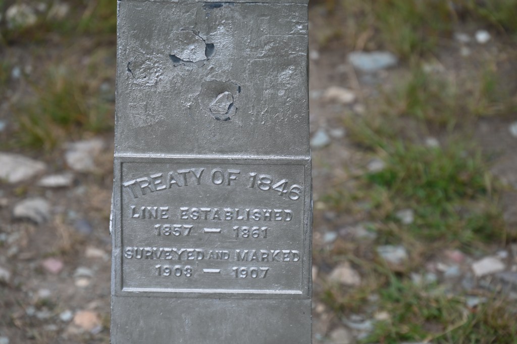
We decided to first go to the old abandoned Border station. Even though the Roosville British Columbia station is the formal start/stop of the motor vehicle Continental Divide Trail, we wanted to go to the other more remote spot for the first pics.
We’ve heard that the border guards in Roosville aren’t happy with overlanders trying to get “the border shot” at an active border crossing. This no name abandoned crossing is much better.
The average cost per gallon of gas for the entire route was $5.34 (87 octane)

WE DID IT!!! We’re here!!
From The Mexican to Canadian Border. 😁

Ok, that was fun. Time to move on to the official end to our AMAZING adventure!
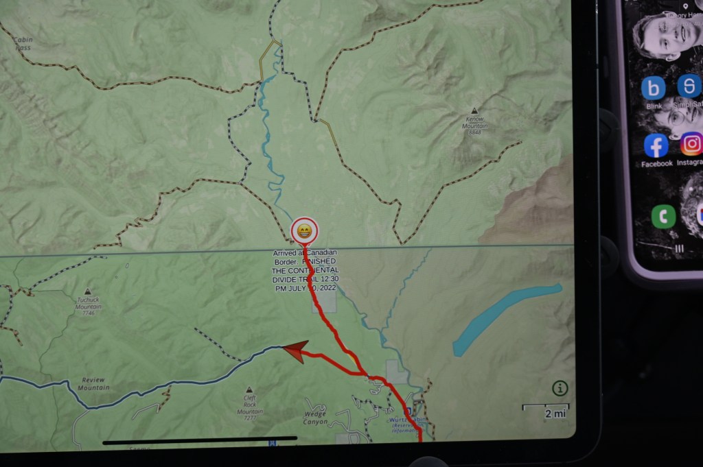
This is the final stretch of the gps.kevin 01 tracks.

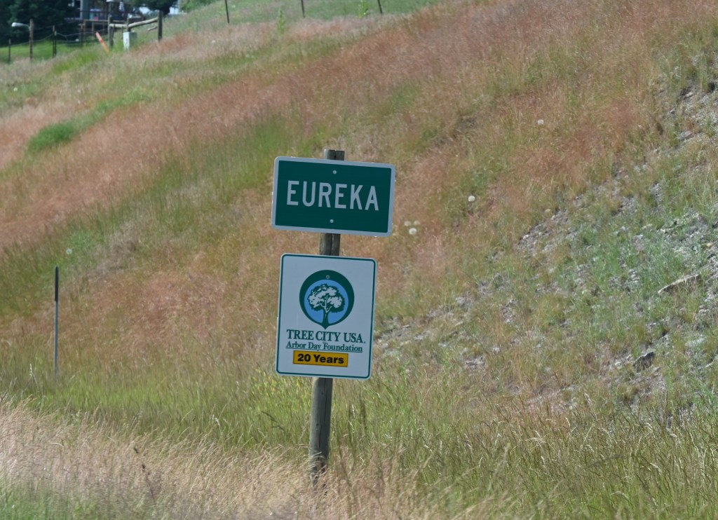
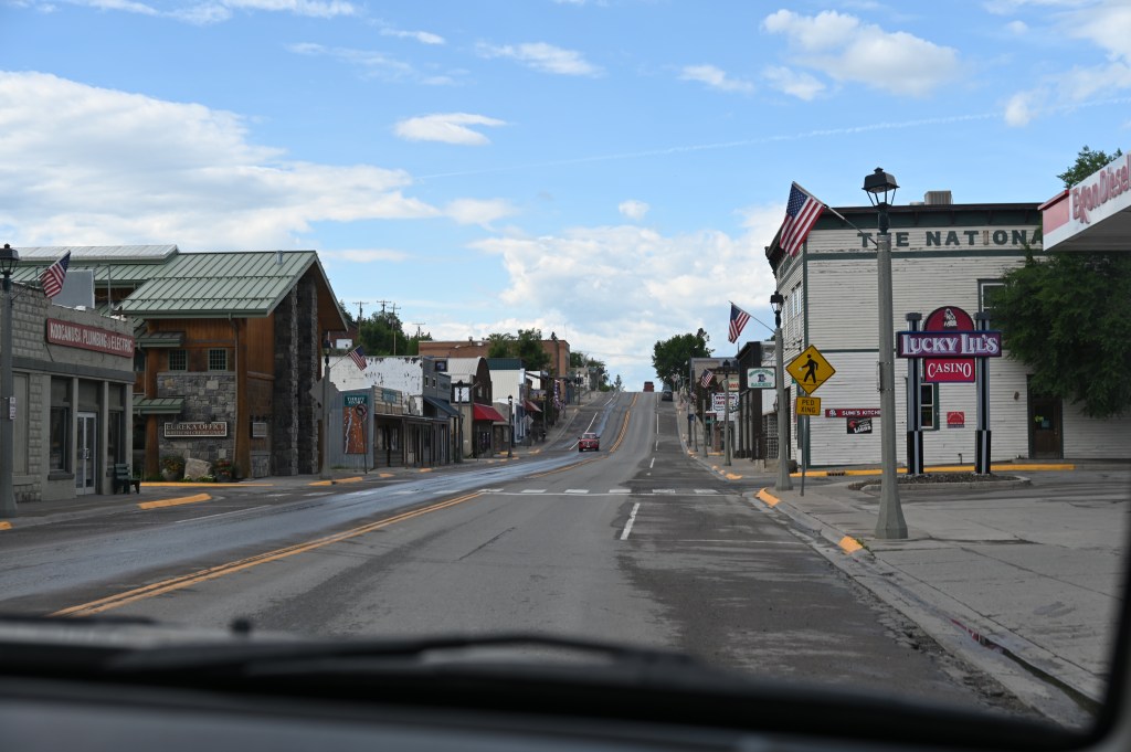
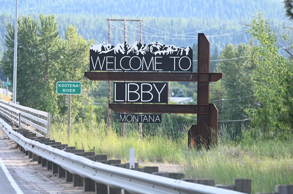
Yes, Eureka!! We’re really here! The official Canadian border.
And we are done! 3,905 Miles in 24 Days!
162 average miles per day.
For those planning to make this trek:
Mosquitoes! Be prepared to defend yourselves. I still prefer good old Avon Skin-So-Soft spray. It’s cheap and effective (but oily…. Yuk). Also the fogger (Tractor Supply) works in extreme cases. We only had to use it once in the Falls Lake campground, Wyoming.
When in doubt regarding road closures, find a local Forest Ranger Station. You can’t trust the posted signs to be current. This was really helpful in the middle of the New Mexico fires.
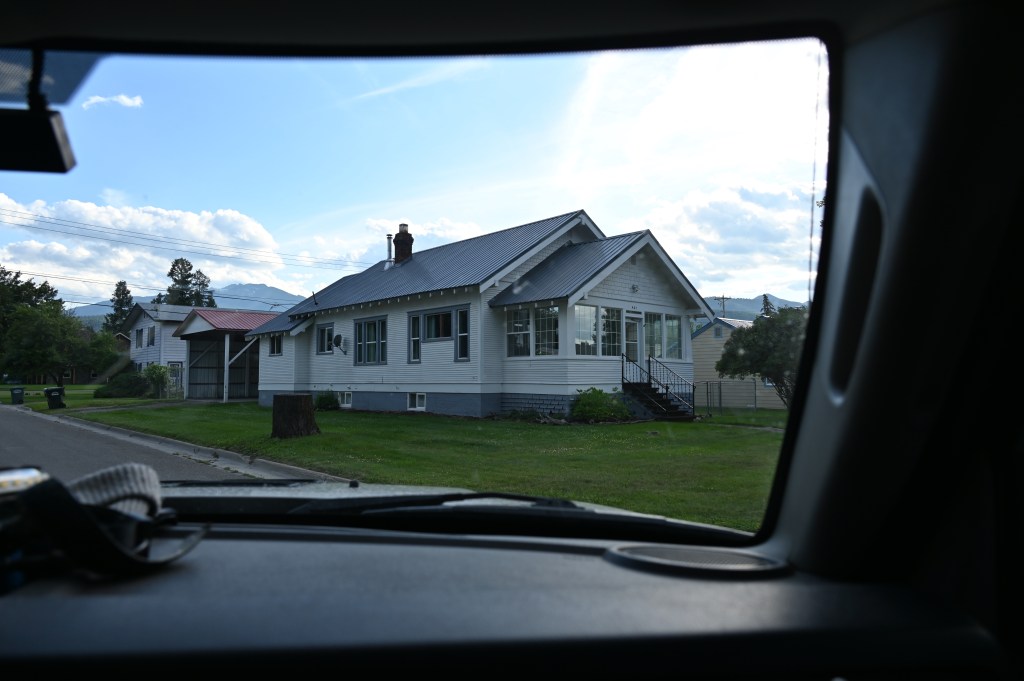
The Airbnb app works much better than searching for motels at the last minute due to weather. We were able to pay less per couple for an actual house with a yard for the dogs in most cases. There are also options for large guest houses that rent by the room or even by the bunk which would work for large groups in a pinch.
Watch out for a black collapsible 16 inch tall step stool from Camping World. If found, return to Bruce (BeatsWorking) in Phoenix for a $5.00 reward.
If you see signs for “Logging Ahead”, believe it and be ready for heavy activity.
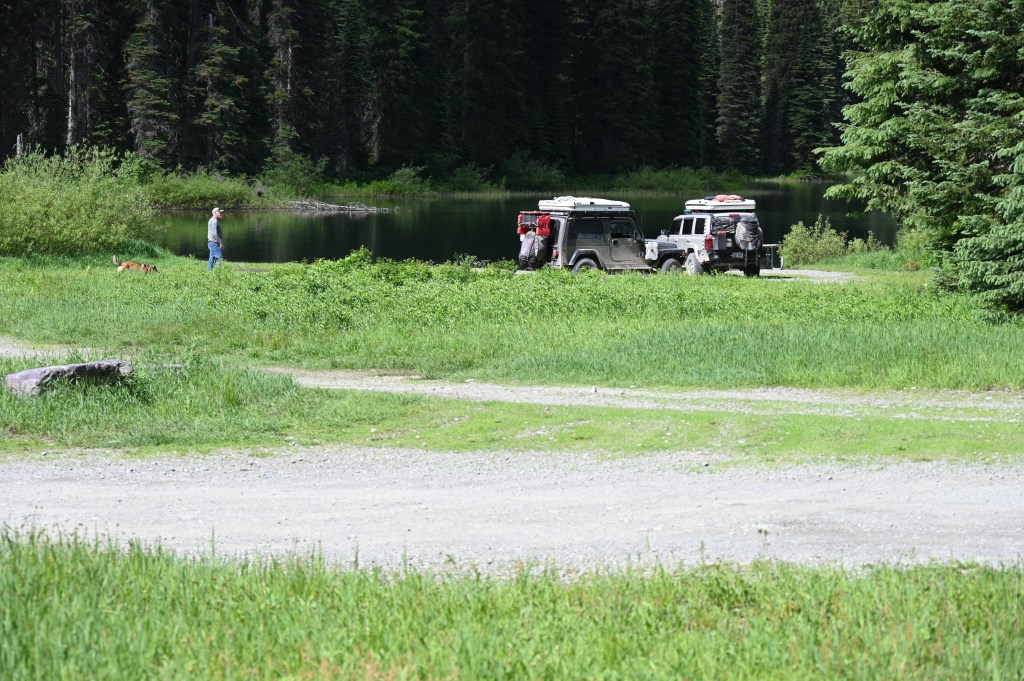
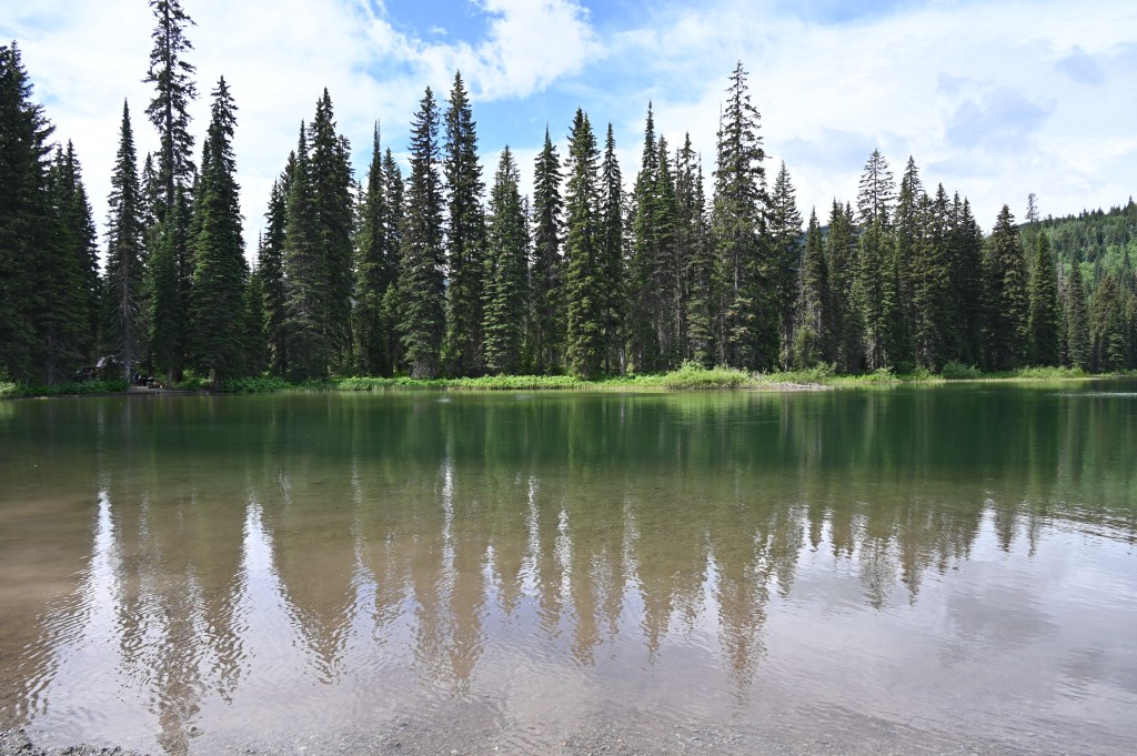
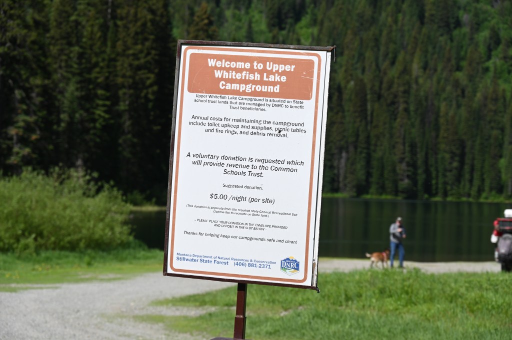
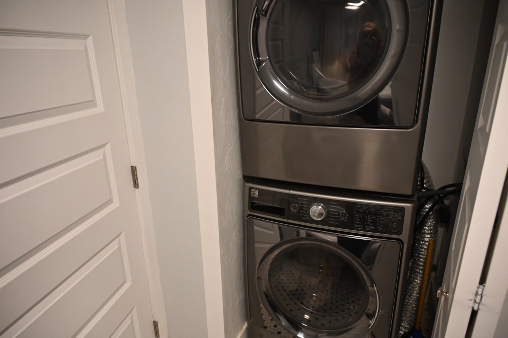
And finally, night #25.
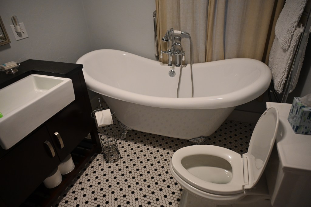
We’re getting cleaned up, rested and ready to go again!

Congrats on successfully completing the CDR and sharing your journey with us. Very nice!!!! Have fun on the IDBDR as you head south!!
LikeLike