Mississippi Headwaters and Why not Minot?
But first, Duluth.
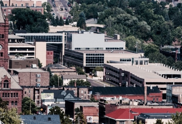
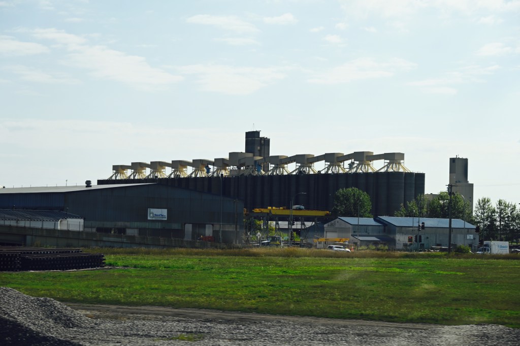
The approach is nice, then you cross some bridges, and then there’s so much freeway construction we could barely see the city.
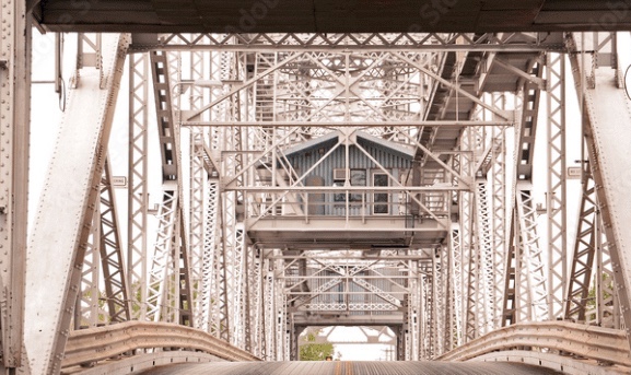


The city was lovely. It was a tight squeeze between downtown and the water, but the new freeway system will undoubtedly improve the view. We couldn’t see much.
We were thinking about stopping at the Duluth Trading Company to pick up some of those cool authentic underwear. Sometimes you’ve gotta hate Google… seems as though only their socks are made in America. 🙄 we passed……
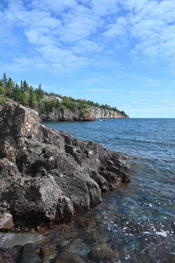
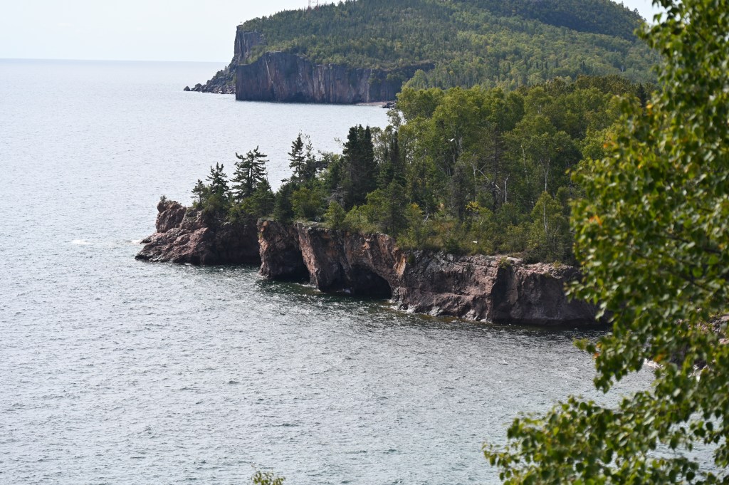
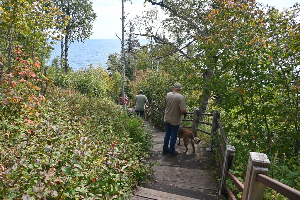
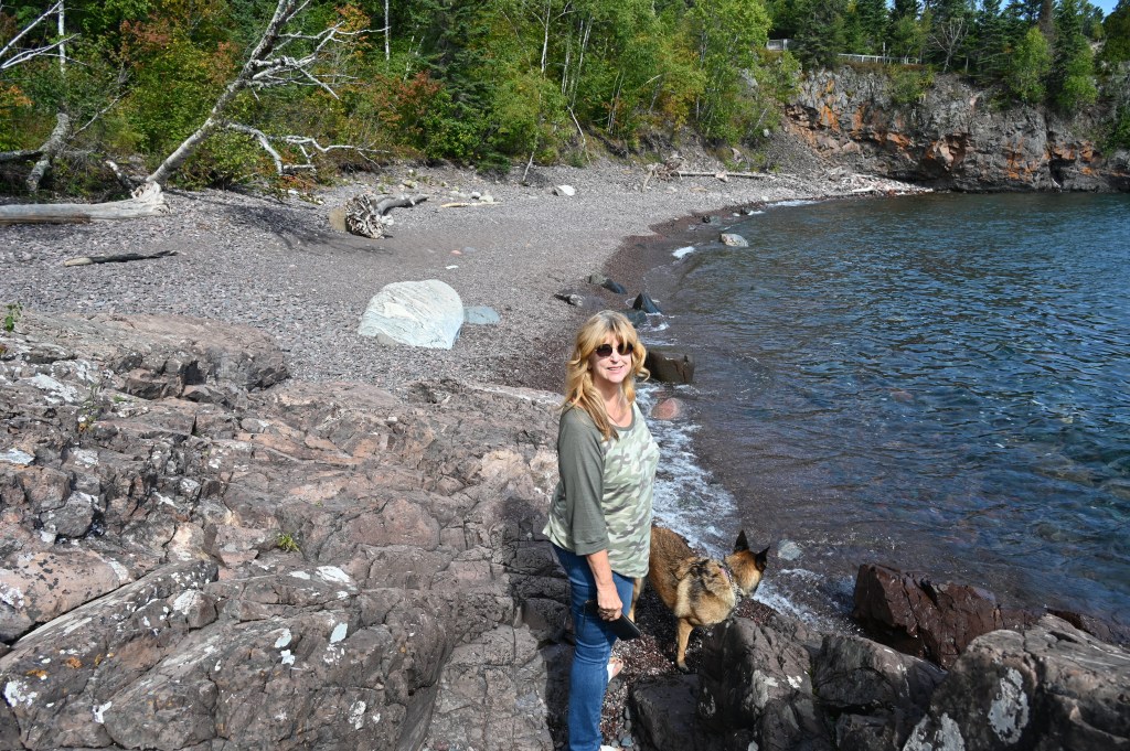
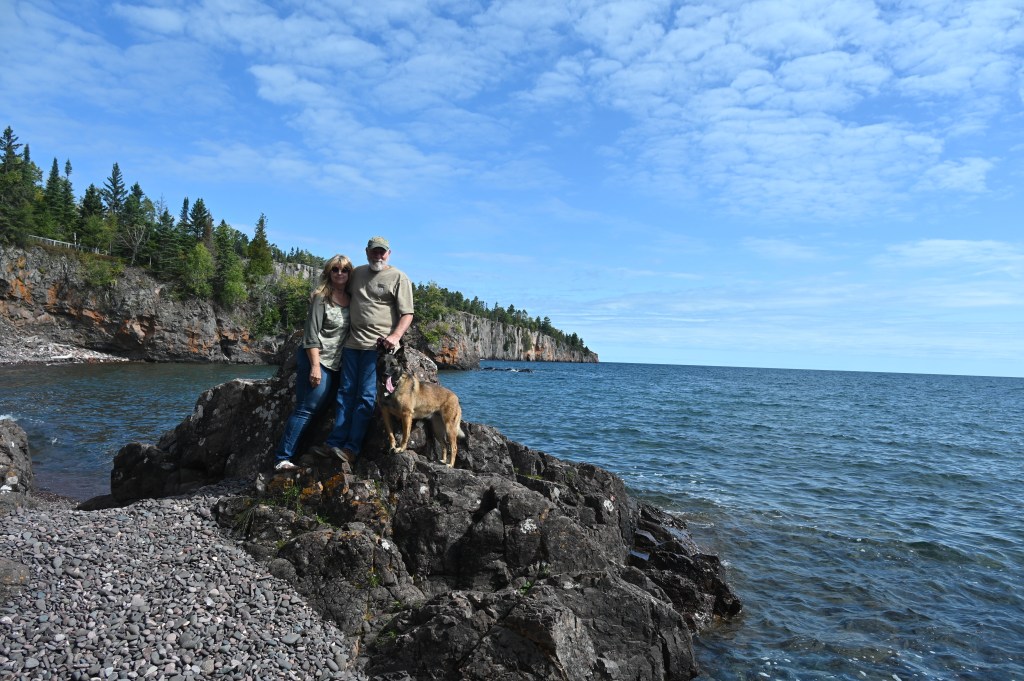
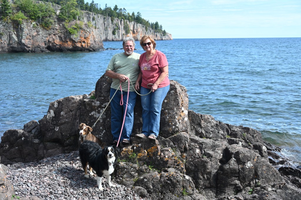
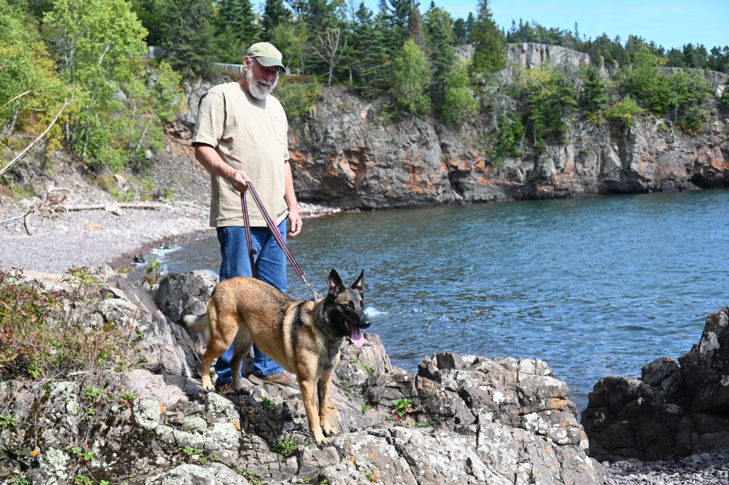
Tettegouche State Park
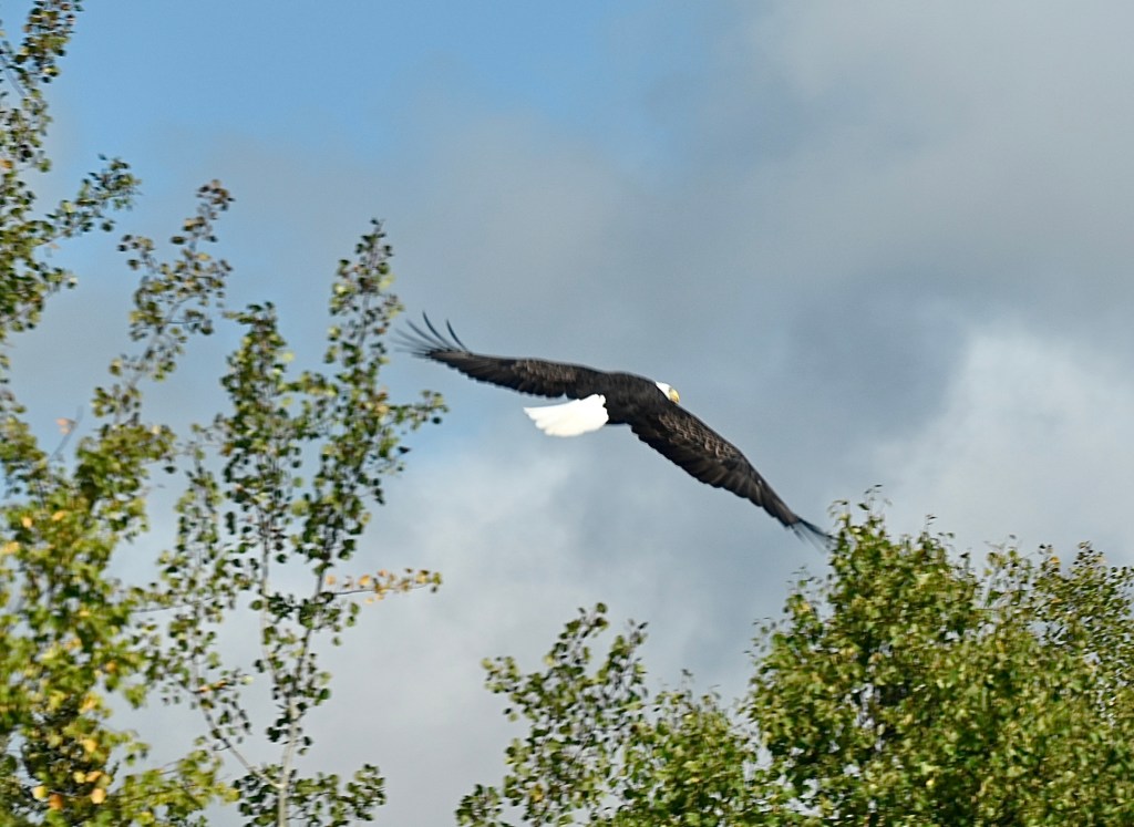
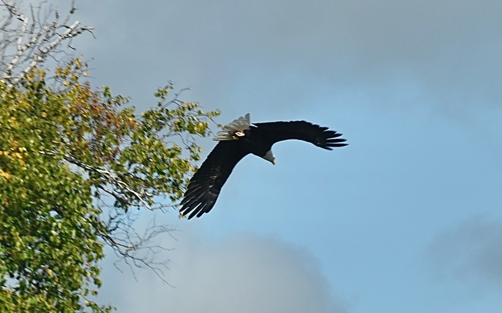
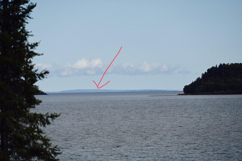
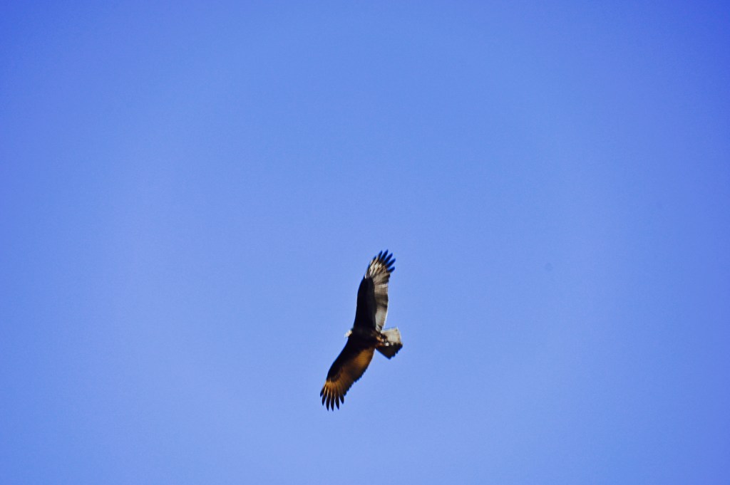
Still moving up Lake Superior, this was a nice stop for a break and some exercise at Shovel Point.
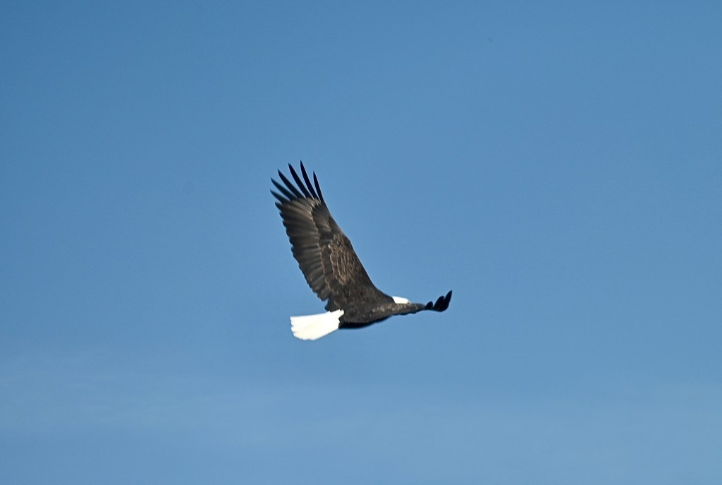
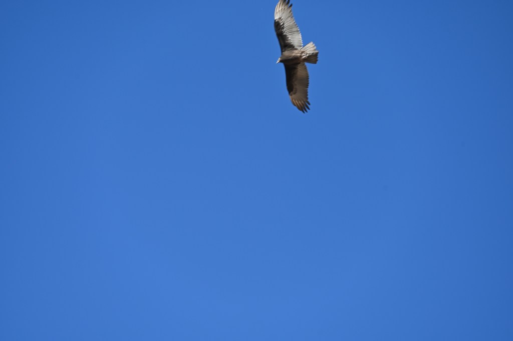
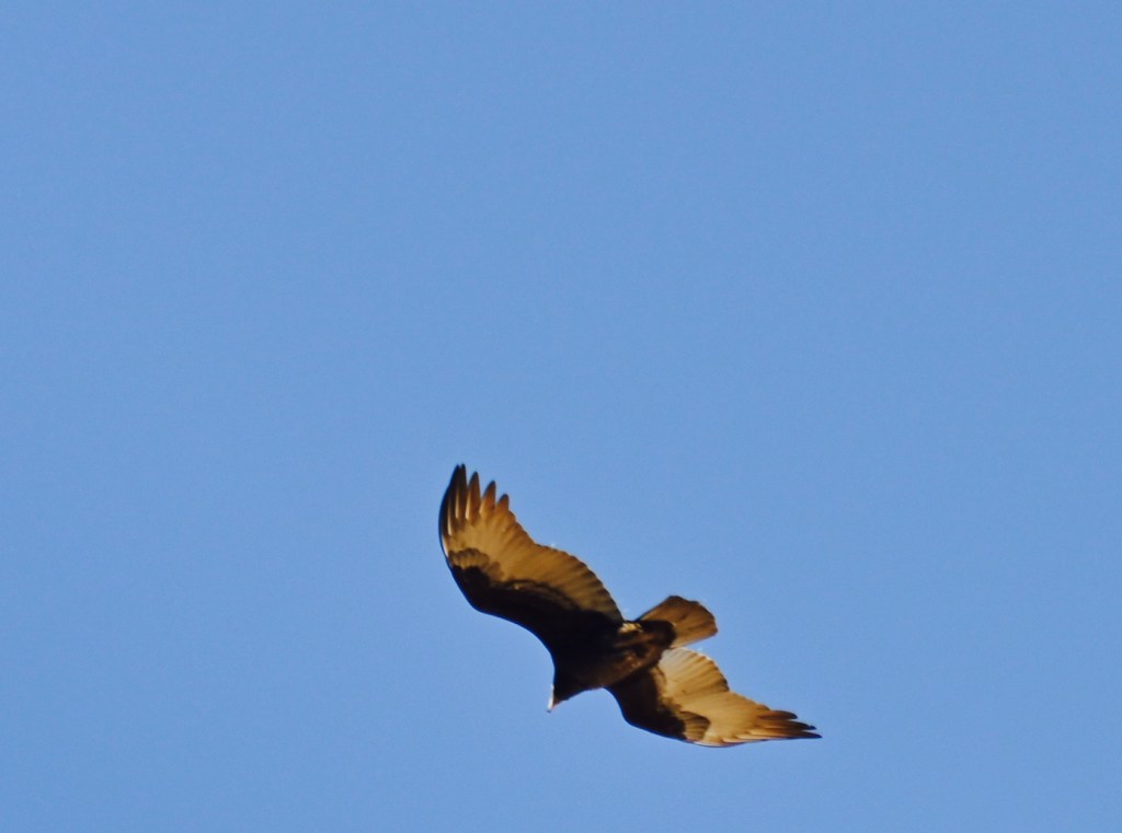
I caught a few pictures of this eagle through the windshield so it’s a little blurry.

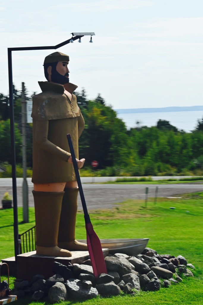
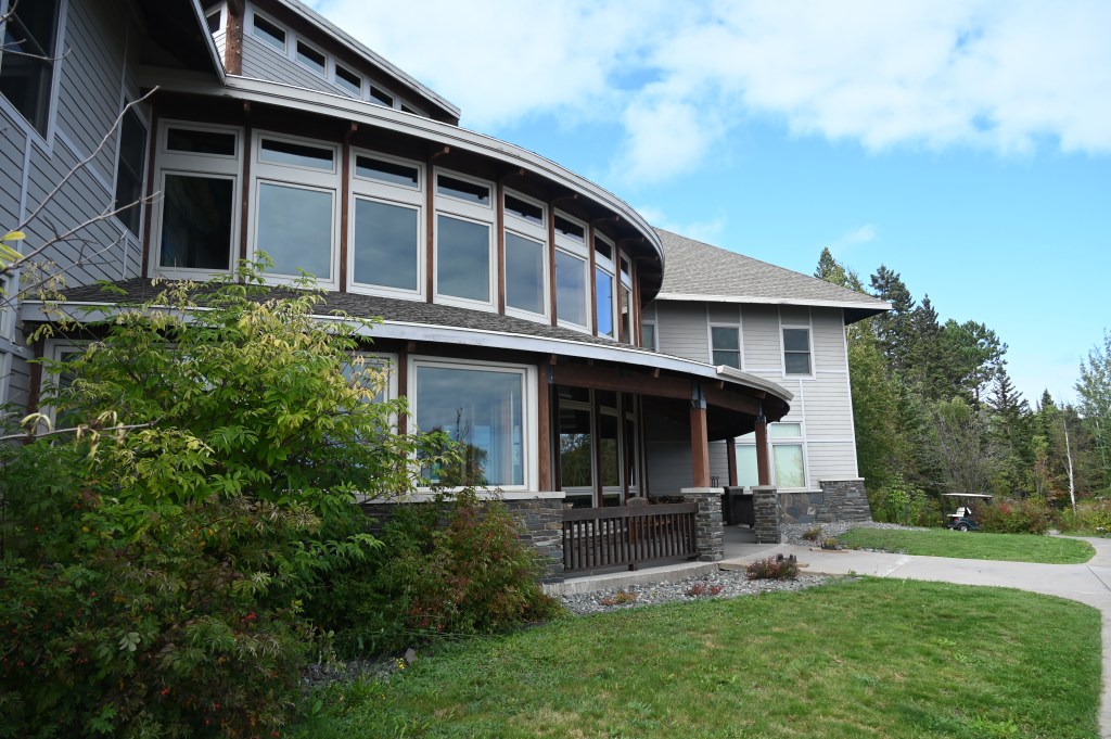
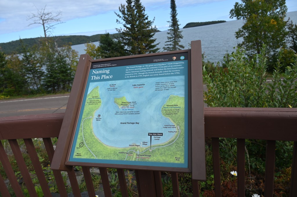
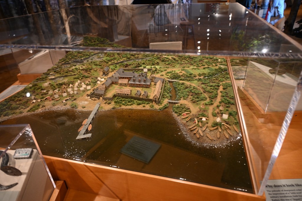
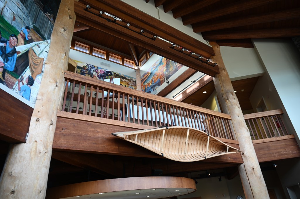
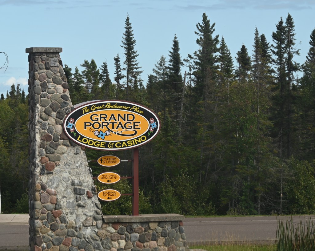
Grand Portage National Monument
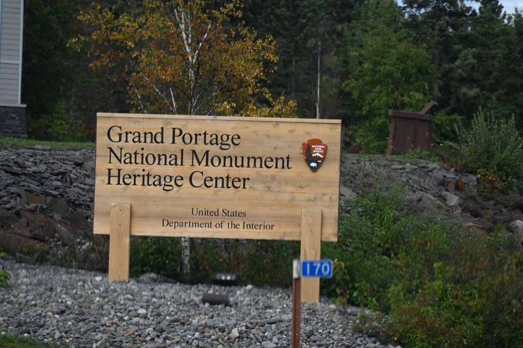

From the museum history:
Gichi Onigaming (Great Carrying Place) is an apt name for 8.5-mile portage trail that allowed Native Americans, explorers, and voyageurs to bypass high falls, cascades, and gorges, and has been a critical transportation route for thousands of years. Because of the area’s geology, topography, natural resources, and strategic location, this trail was part of an ancient transcontinental trade route connecting the Great Lakes to the interior of the continent.
The adoption of native technology and the cultural exchange that took place during the fur trade led to exploration and mapping the continent. The quest for furs caused European expansion into the northwest during the 18th and 19th centuries. The Grand Portage trail itself was a focal point in developing the international boundary between Canada and the United States, and today remains an international road. Under the terms of the Webster- Ashburton Treaty of 1842, use of the trail remains free and open to citizens of both the United States and Canada. Without the Grand Portage, Canadian and American political history and national boundaries might have been quite different.

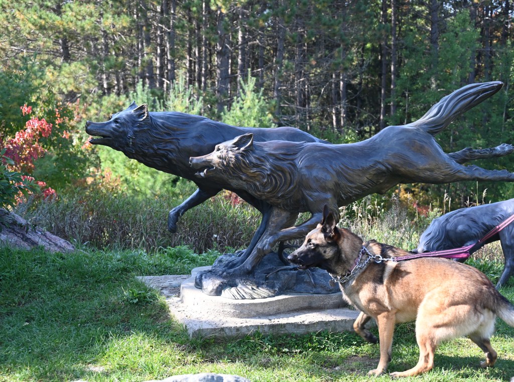
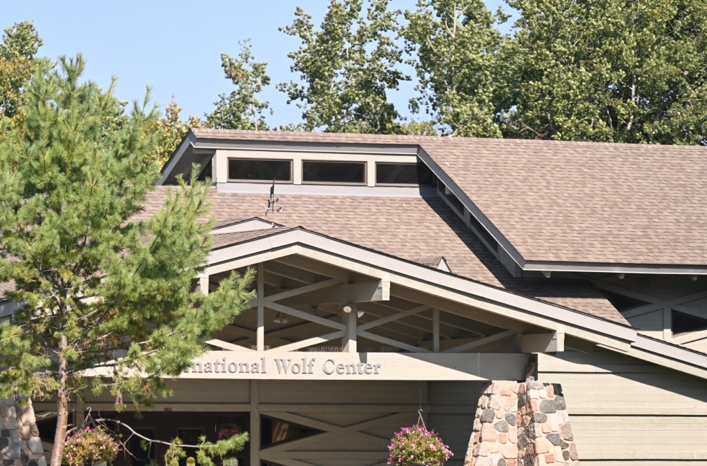
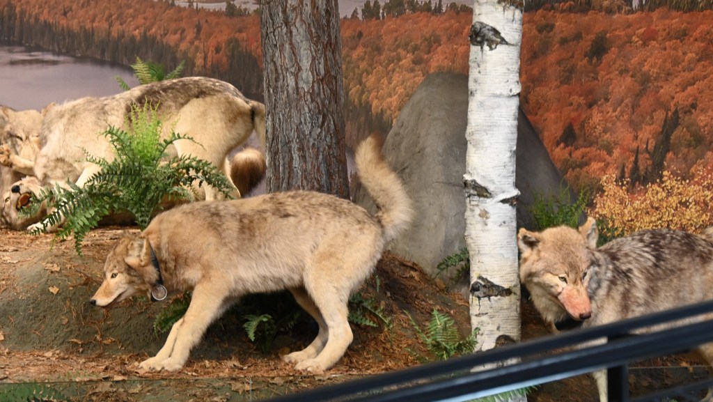
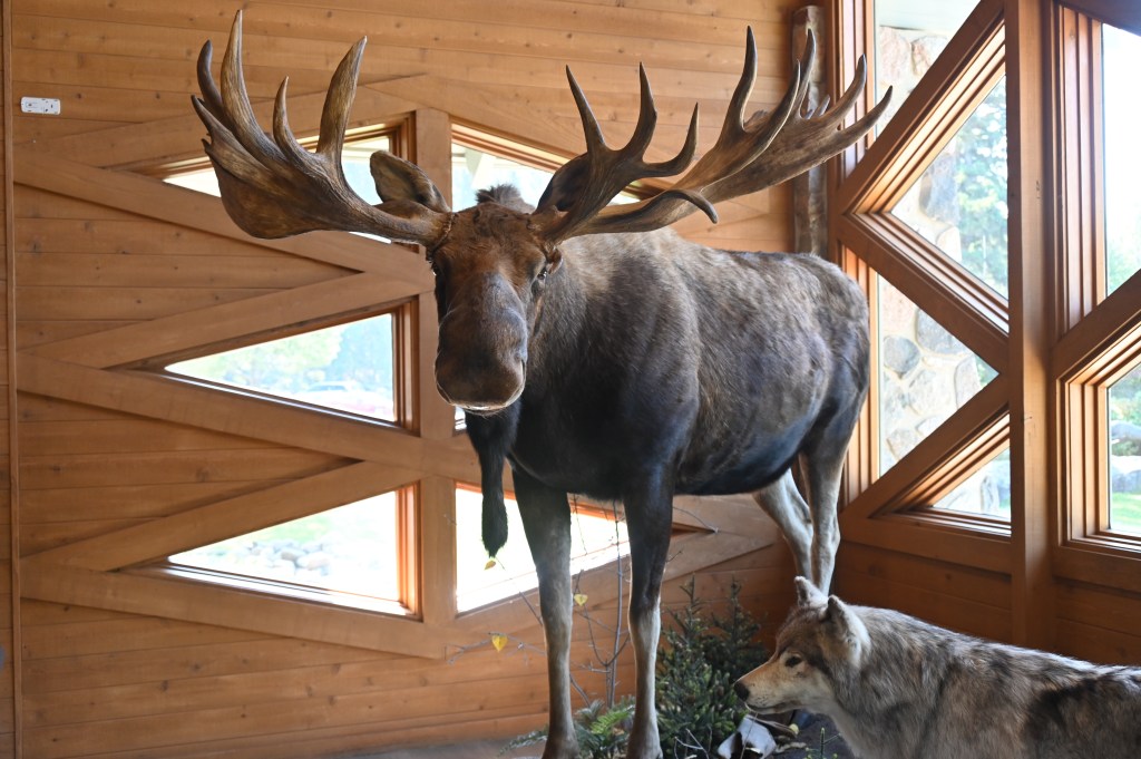
International Wolf Center
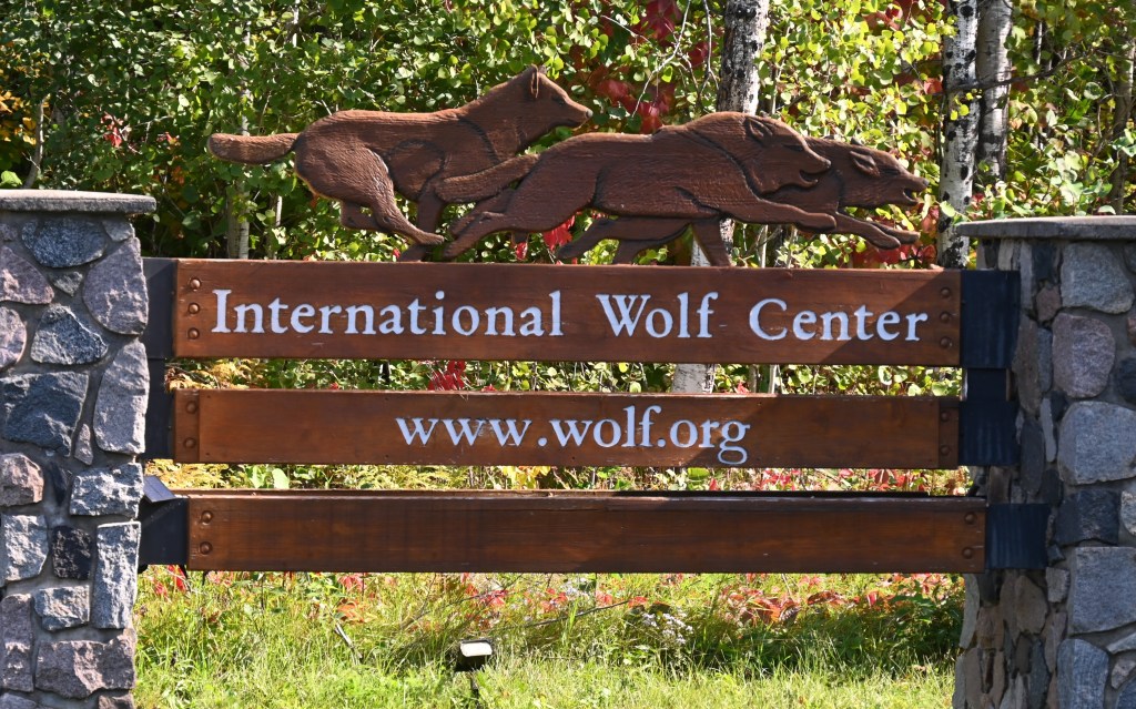
The International Wolf Center envisions a world in which populations of wolves thrive well distributed in many parts of their native range. A global system of designated wildlands supports abundant habitat and prey for wolves and other large carnivores. The Center provides useful scientific information and learning opportunities to diverse individuals and groups and supports well-informed dialogue about management of wolf/human conflict. As a result, humans adopt an attitude of respect toward wolves. As informed participants, humans create policy and act in support of ecological sustainability, which includes the survival of wolf populations. In day-to-day life, humans accept coexistence with wolves.
There is a resident pack of wolves here in a large natural habitat. The museum has beautiful mounts, but if you want to see the actual live wolves you have to pay to hang out by the windows and be very patient, unless you luck out and are here at dinner time. Bruce got a quick glimpse and a short video.
Display wolves, not as beautiful but interesting to see up close.


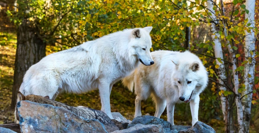
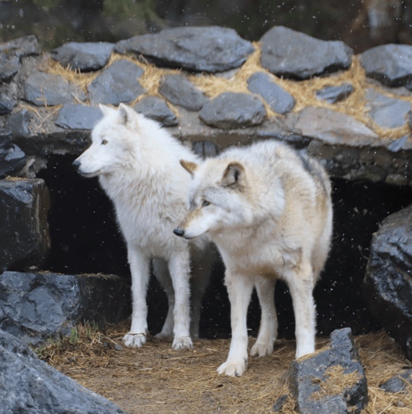
Beauties!
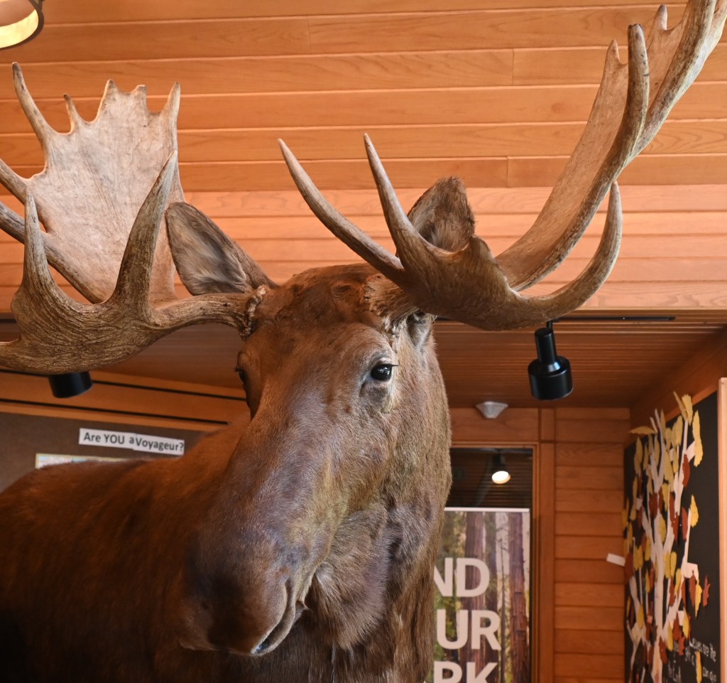
Voyagers National Park
Voyageurs National Park is in northern Minnesota, near the Canadian border. It covers a vast area and is known for its forests, waterways and huge, island-dotted Rainy, Kabetogama and Namakan lakes.
The park’s name commemorates the voyageurs—French-Canadian fur traders who were the first European settlers to frequently travel through the area.
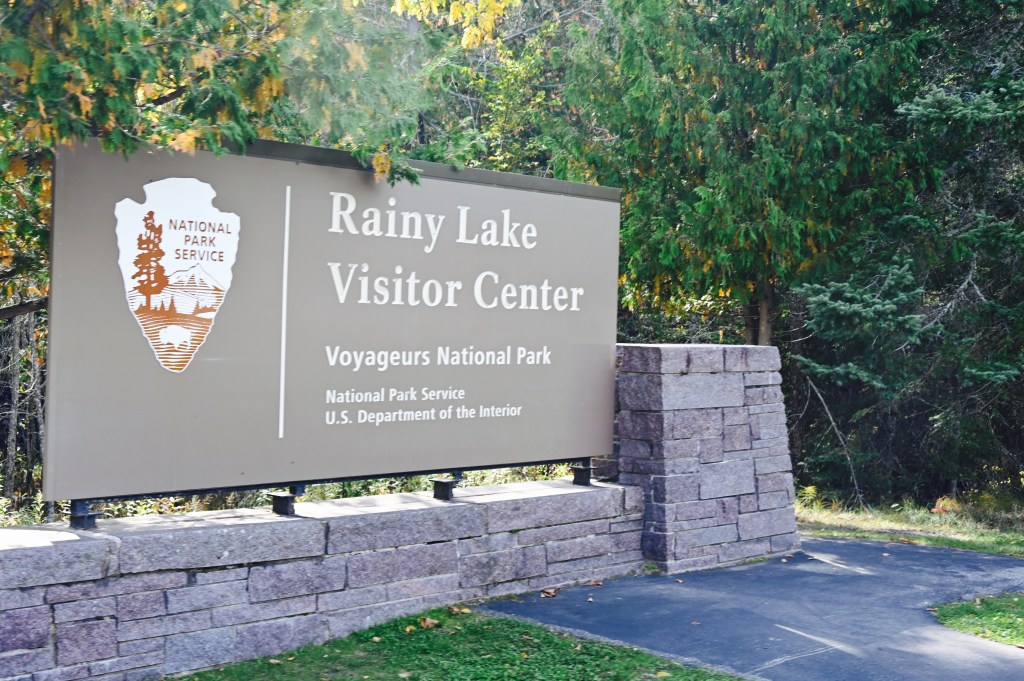
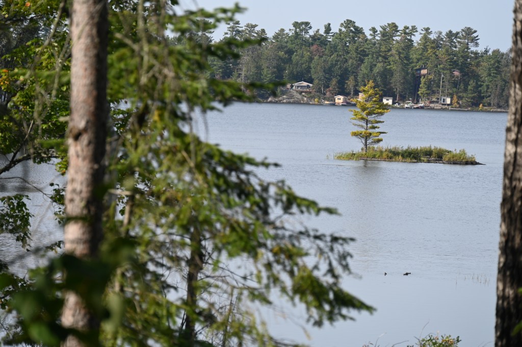
There is nothing to see here on land. The park is definitely for boaters and kayakers. House-boating could be fun.


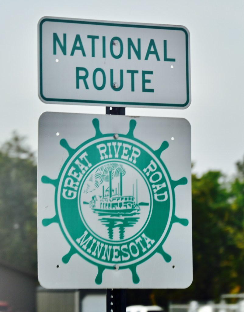
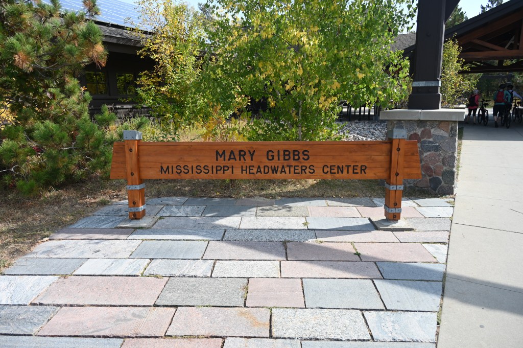
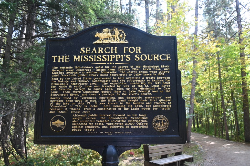
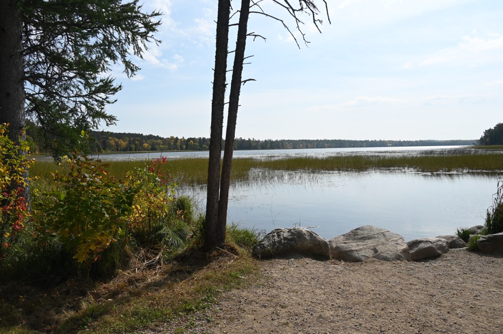
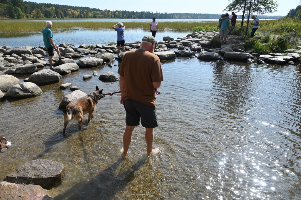
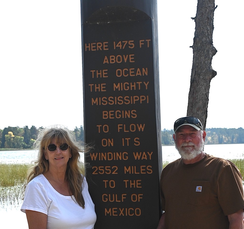
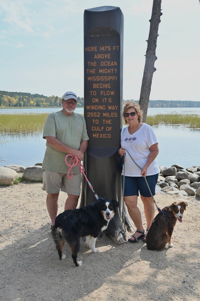
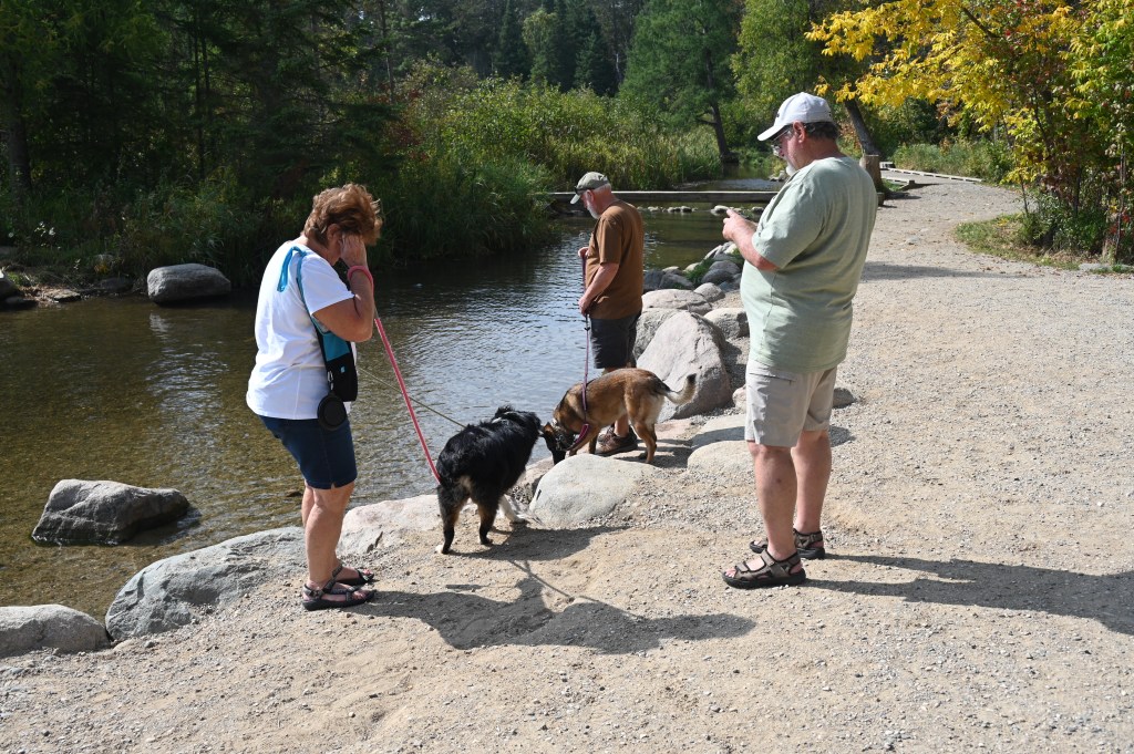
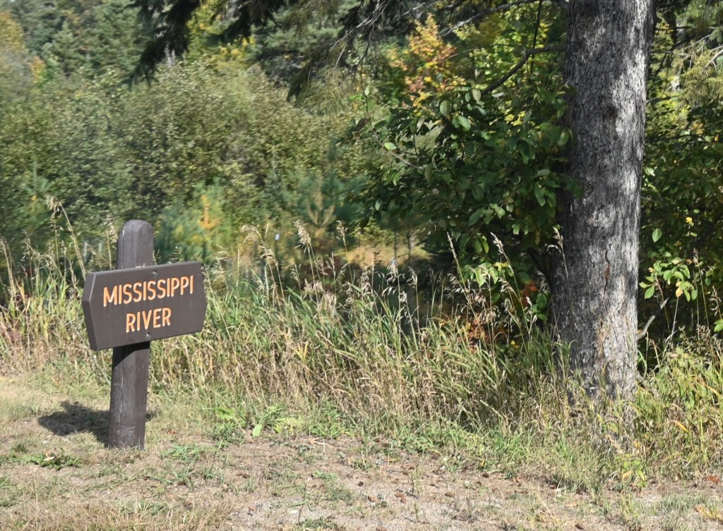
The Mississippi River Headwaters
We finally made it! This is where it all begins.

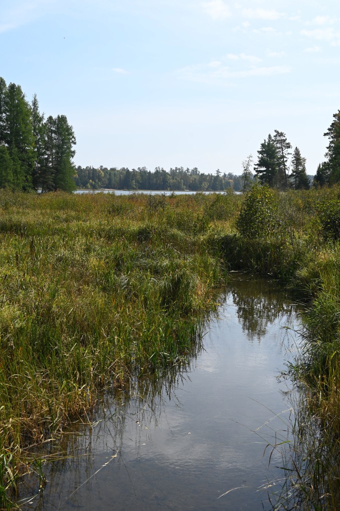
The mighty Mississippi River begins its winding journey to the Gulf of Mexico as a mere 18-foot wide knee-deep river in Itasca State Park. From here the river flows north to Bemidji, where it turns east, and then south near Grand Rapids. It will flow a total of 694 miles before working its way out of Minnesota, and 2,552 miles to the Gulf of Mexico.

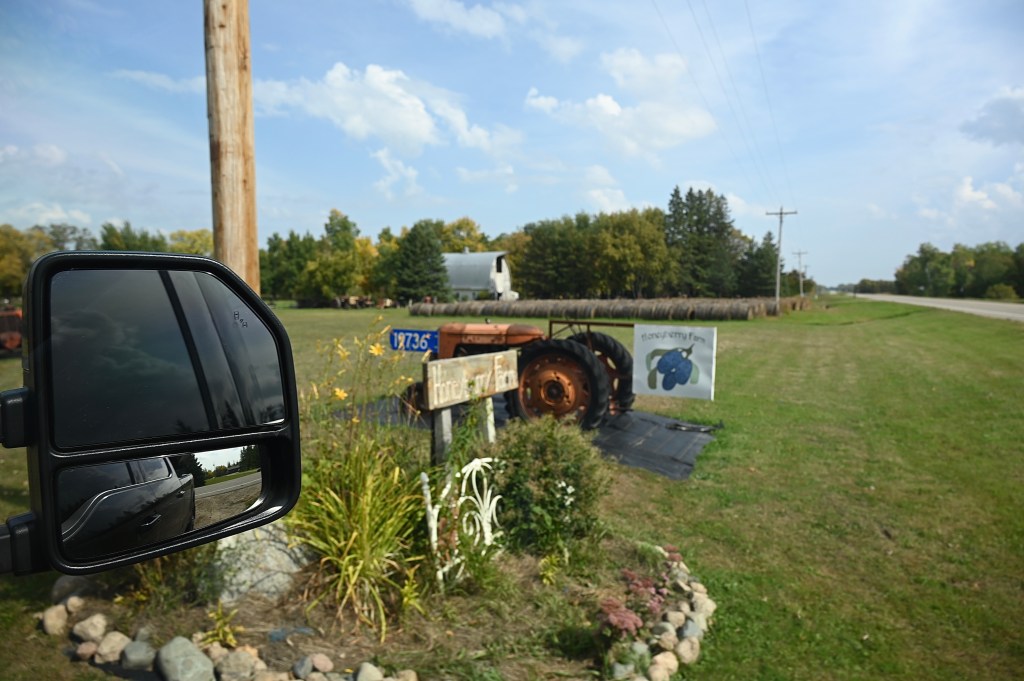
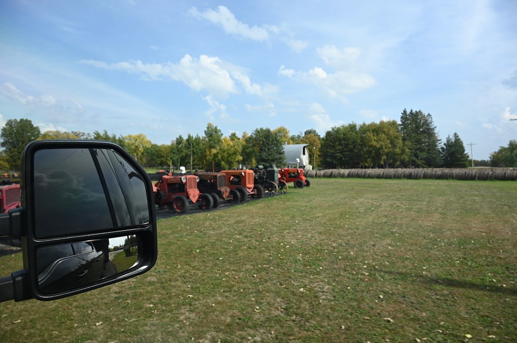
Honey berries on the Harvest Host farm


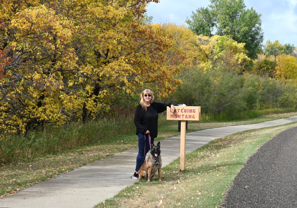
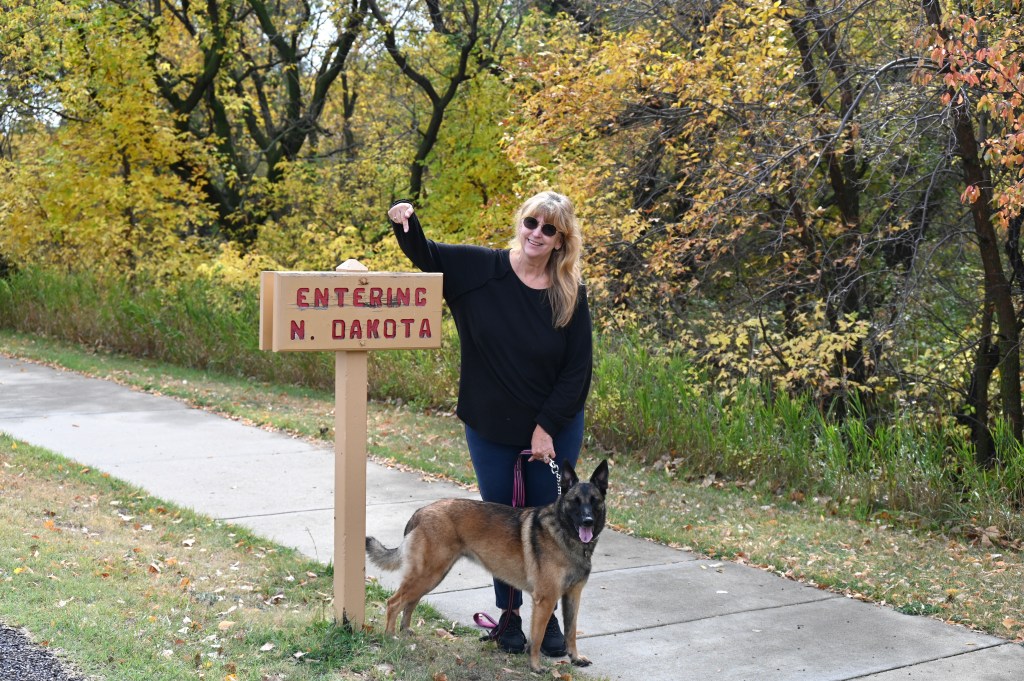
A different state! Welcome to North Dakota.


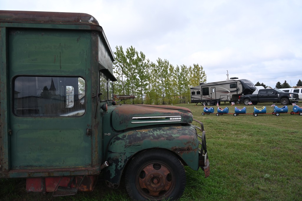
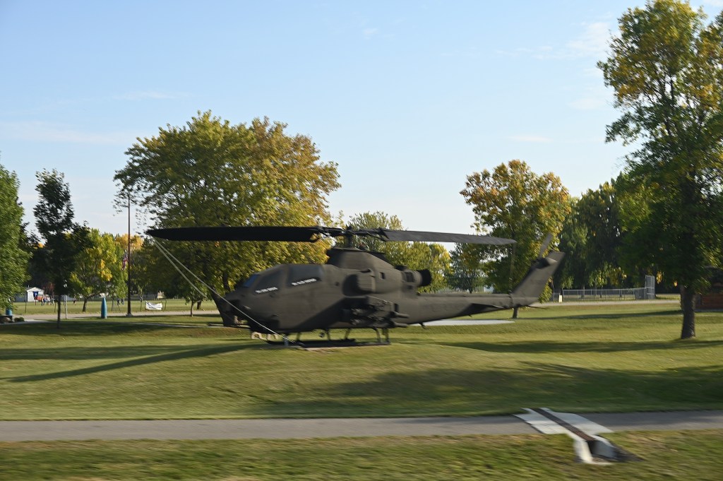
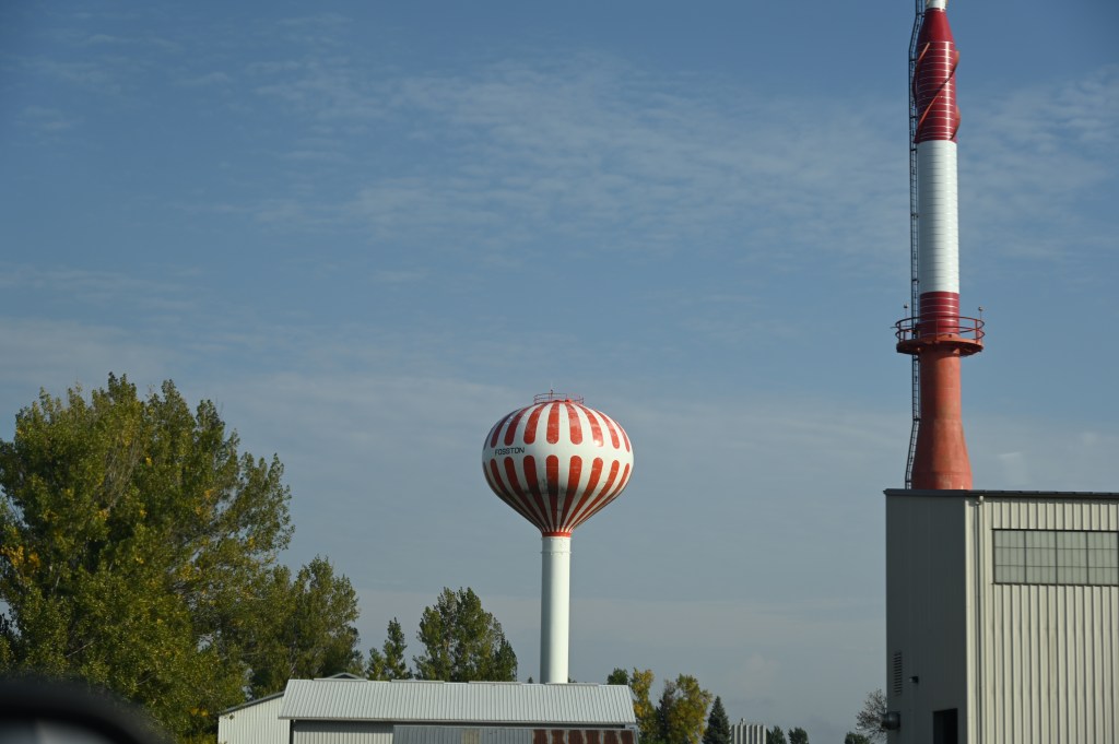
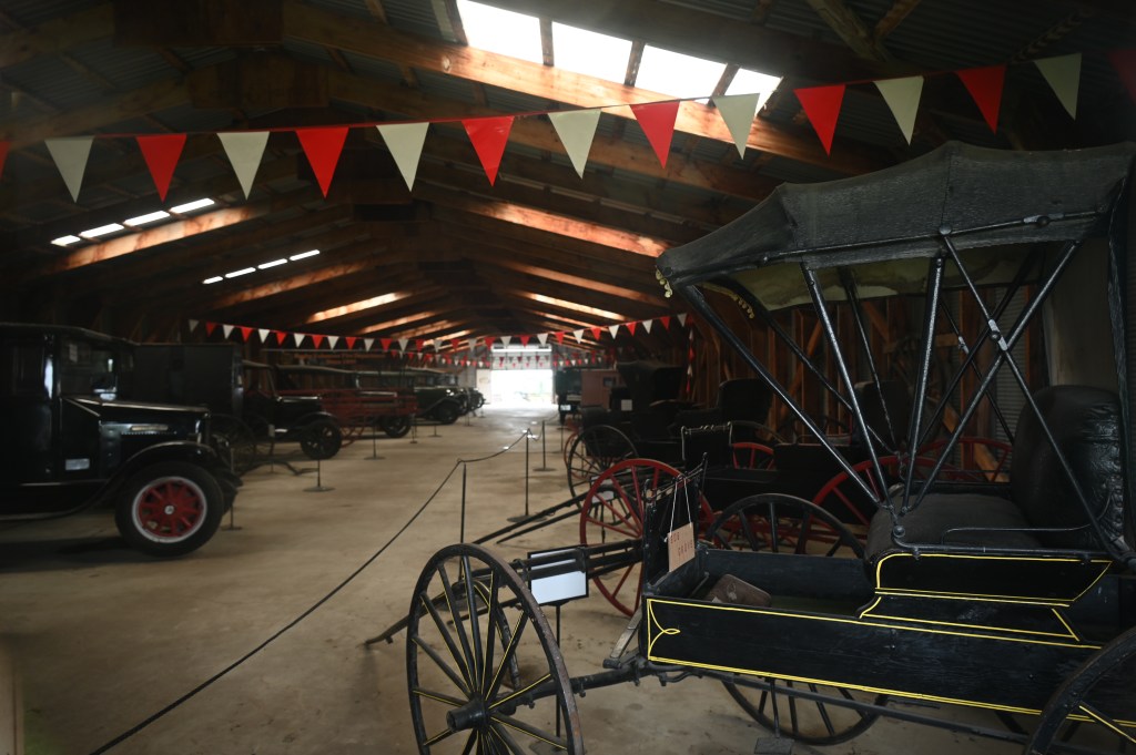
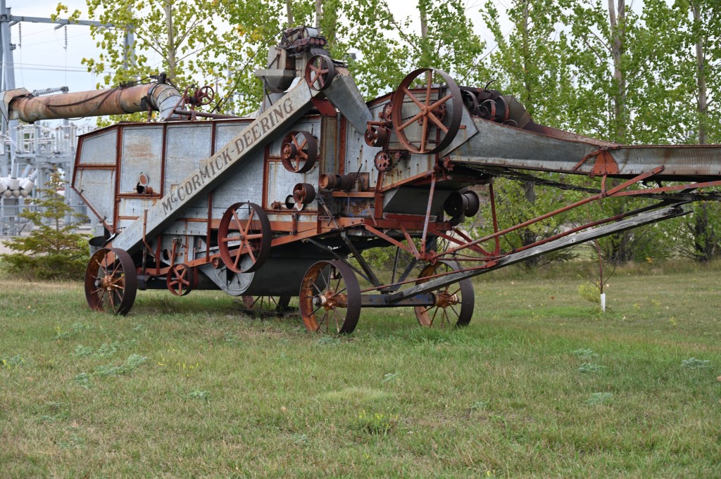
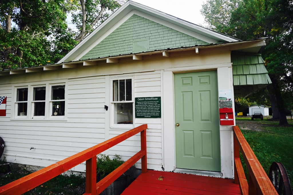
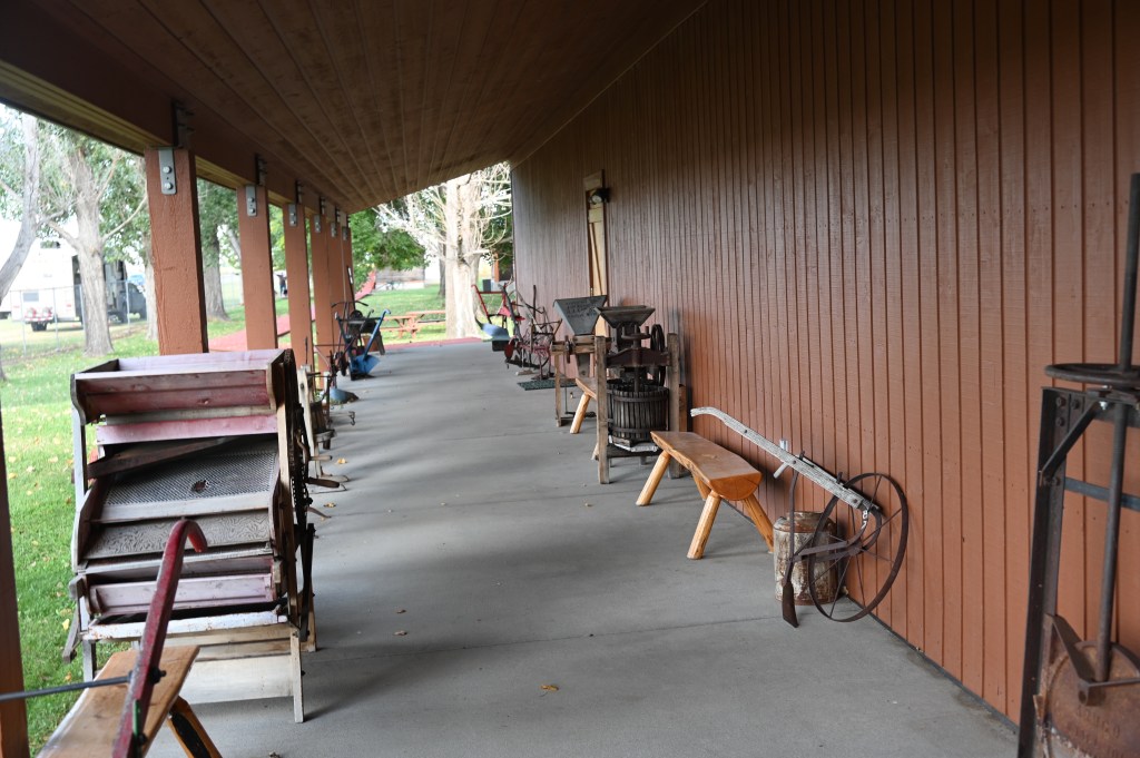
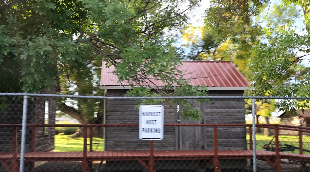
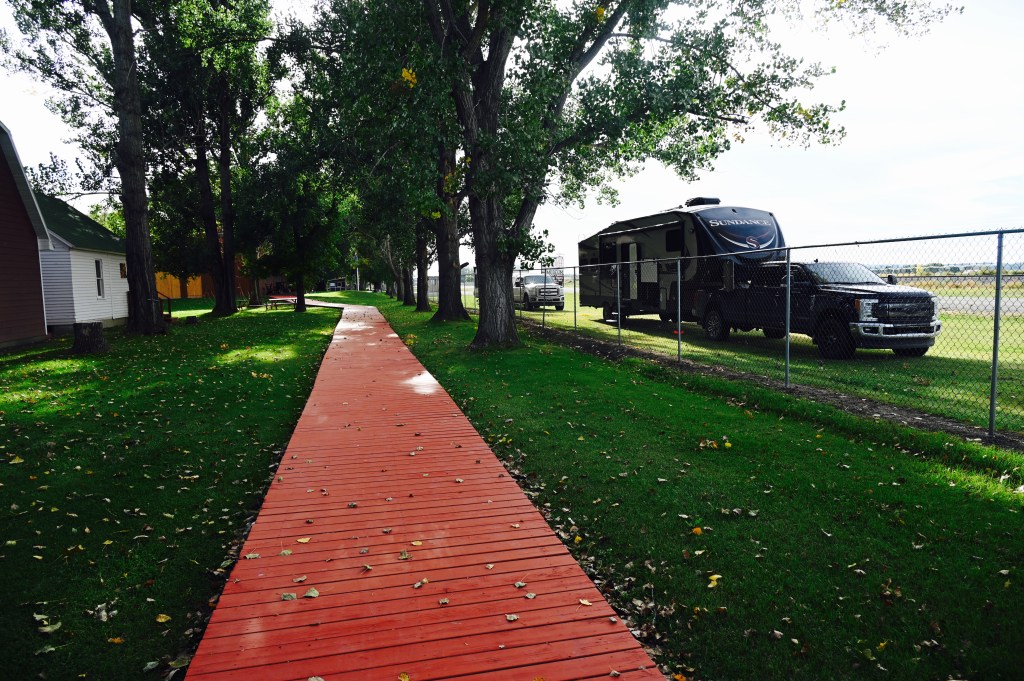
Another perfect Harvest Host, Prairie Village in Rugby, North Dakota.

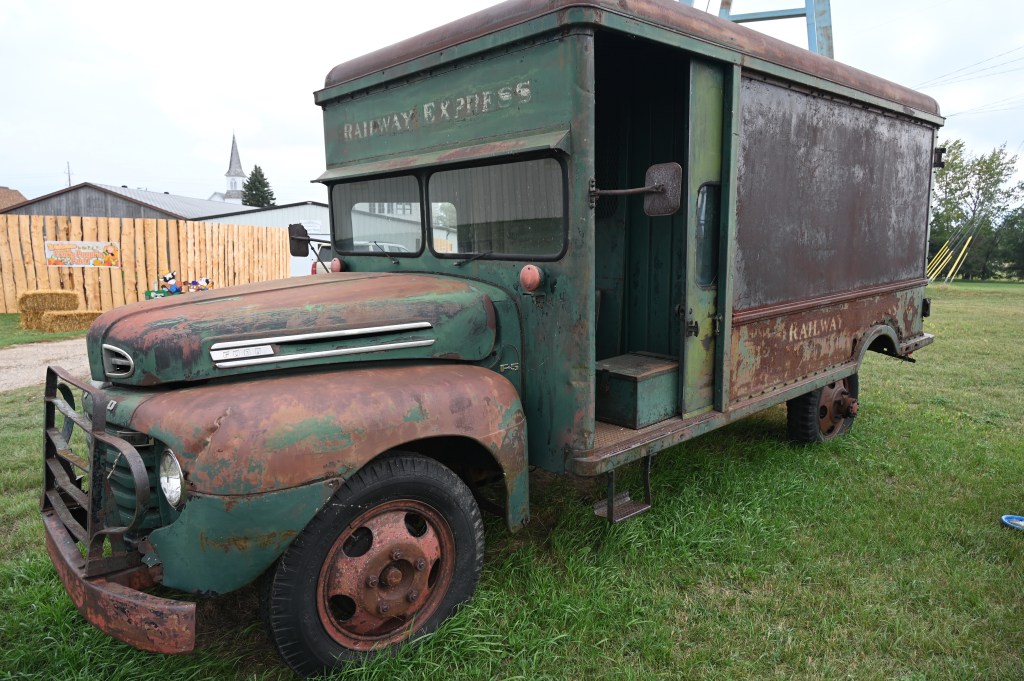


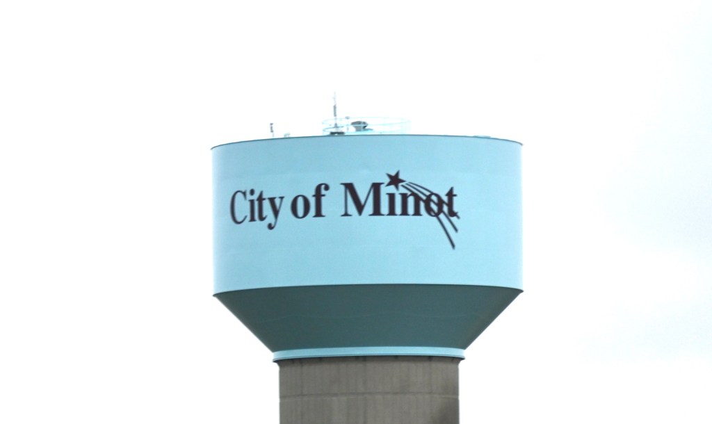
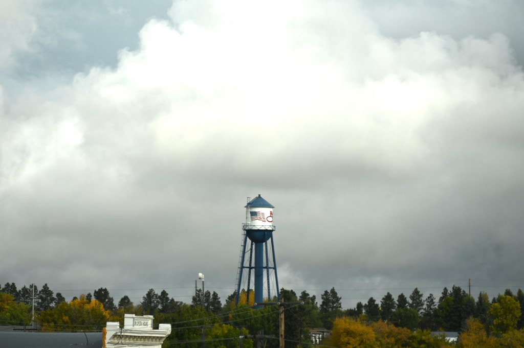
We can finally say we’ve been to Minot. Or more accurately, we finally drove past Minot. We know people who have people there…..
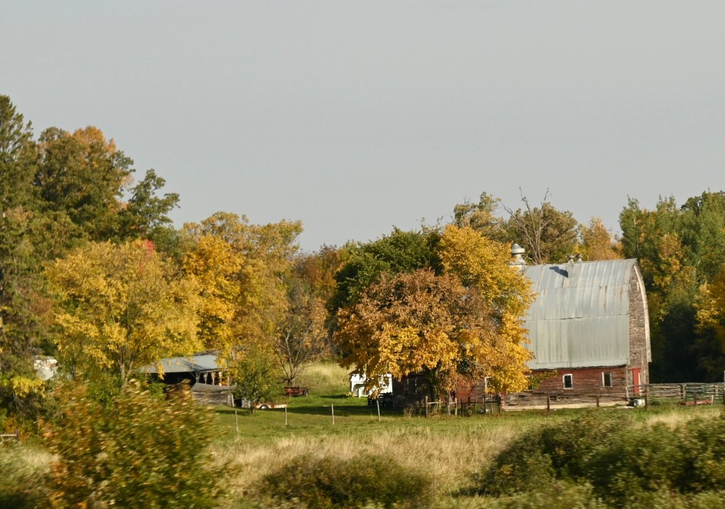
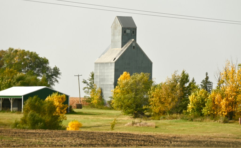
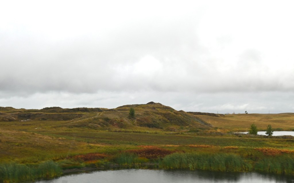
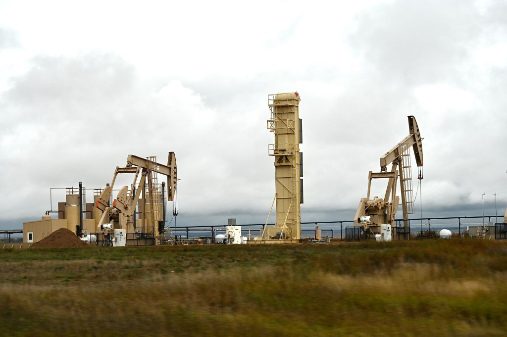
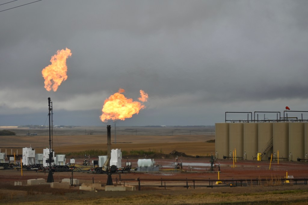
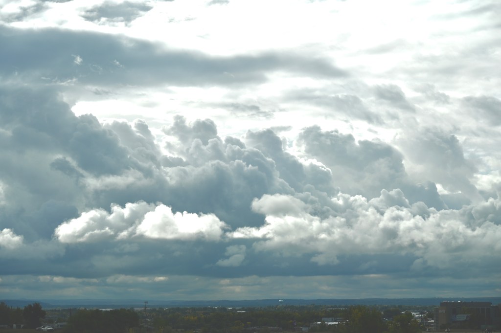
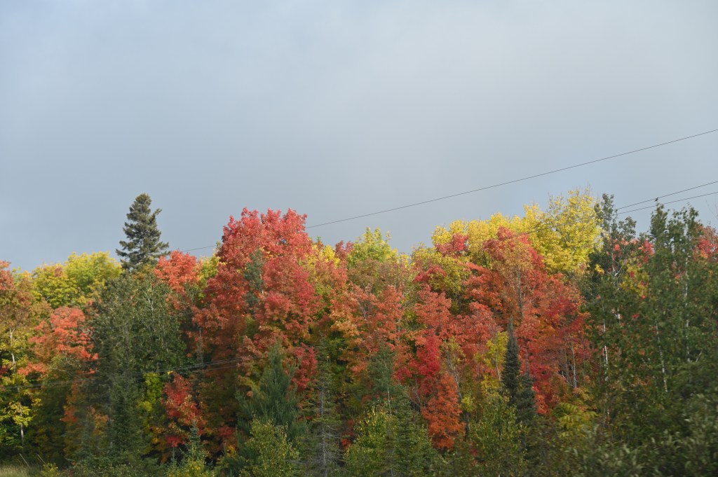
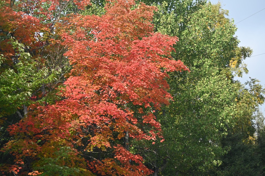
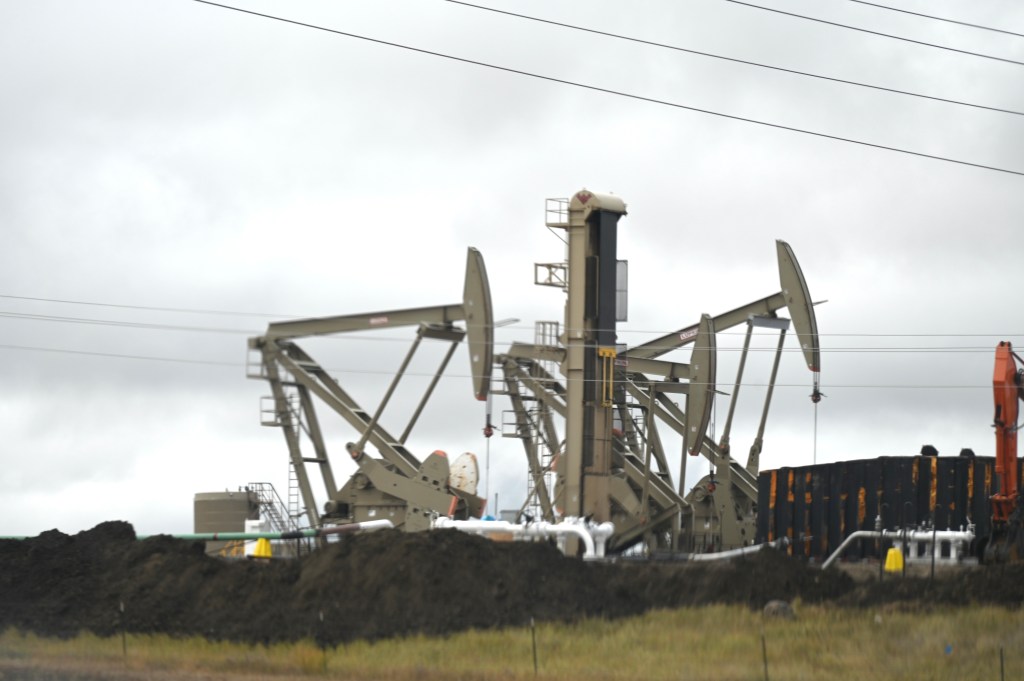
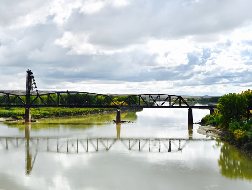
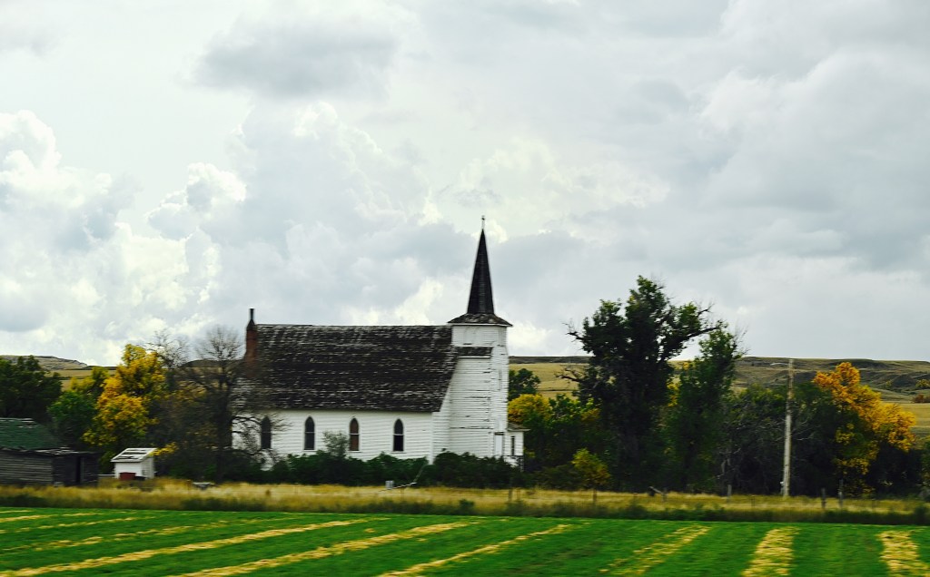
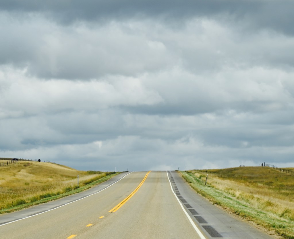
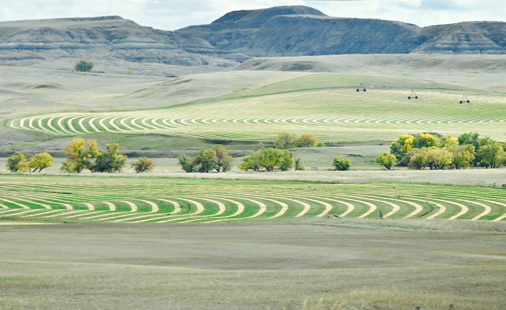
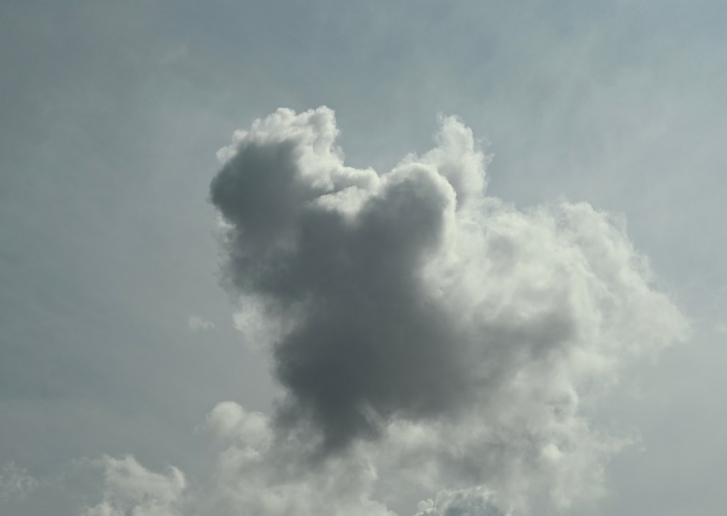
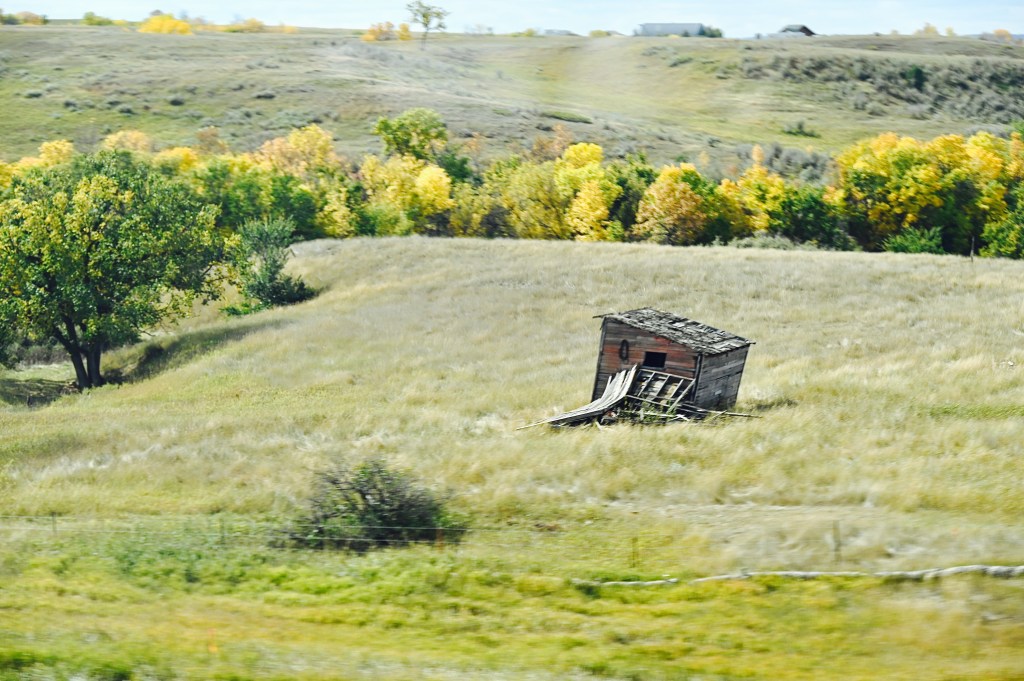
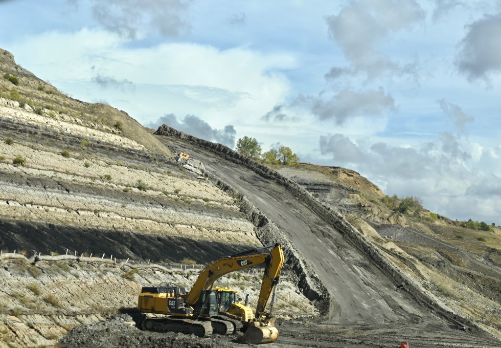
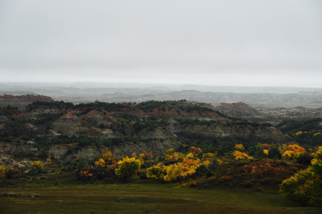
The drive through North Dakota was very pretty with the changing colors, even if it was raining off and on. The clouds were spectacular and we love seeing all of the drilling activity.


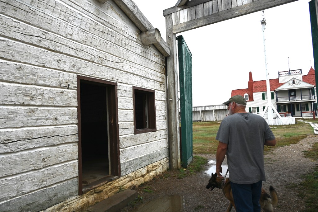
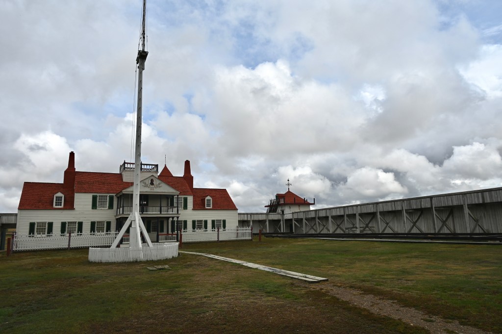
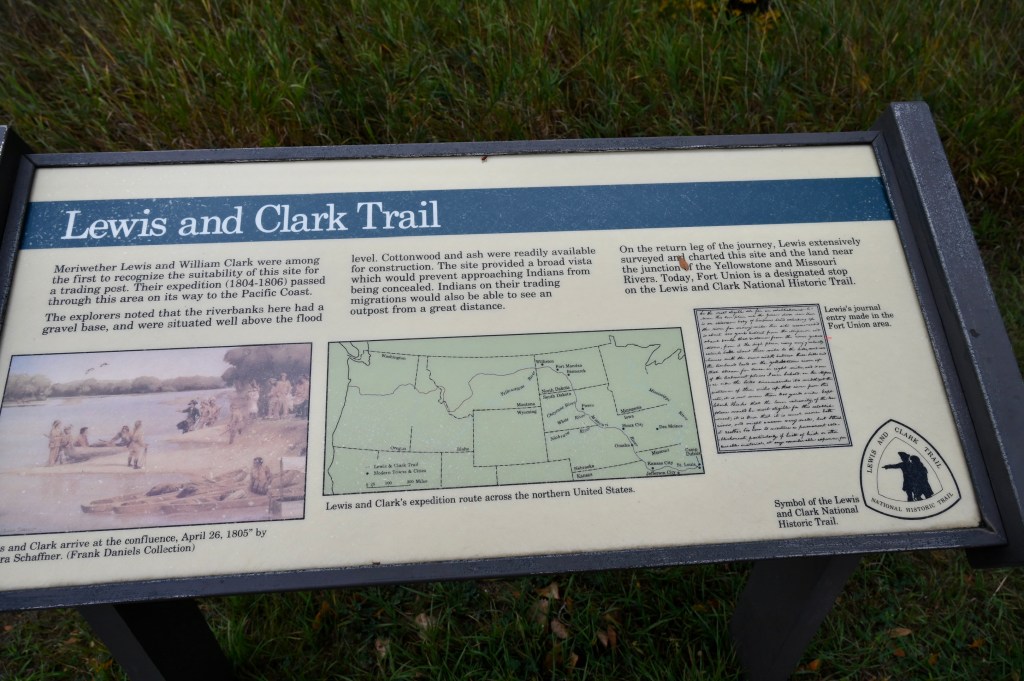
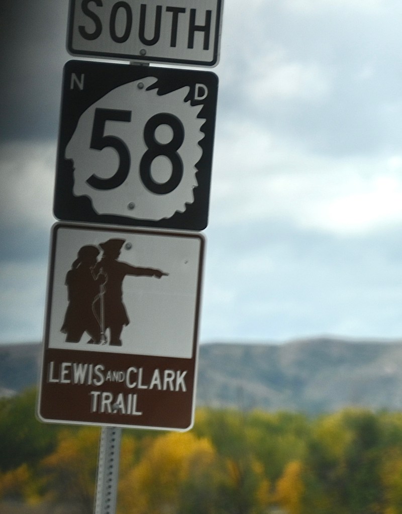
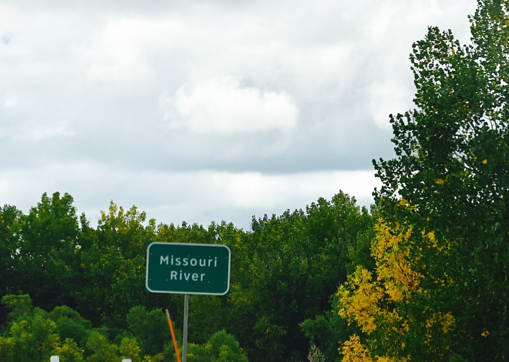
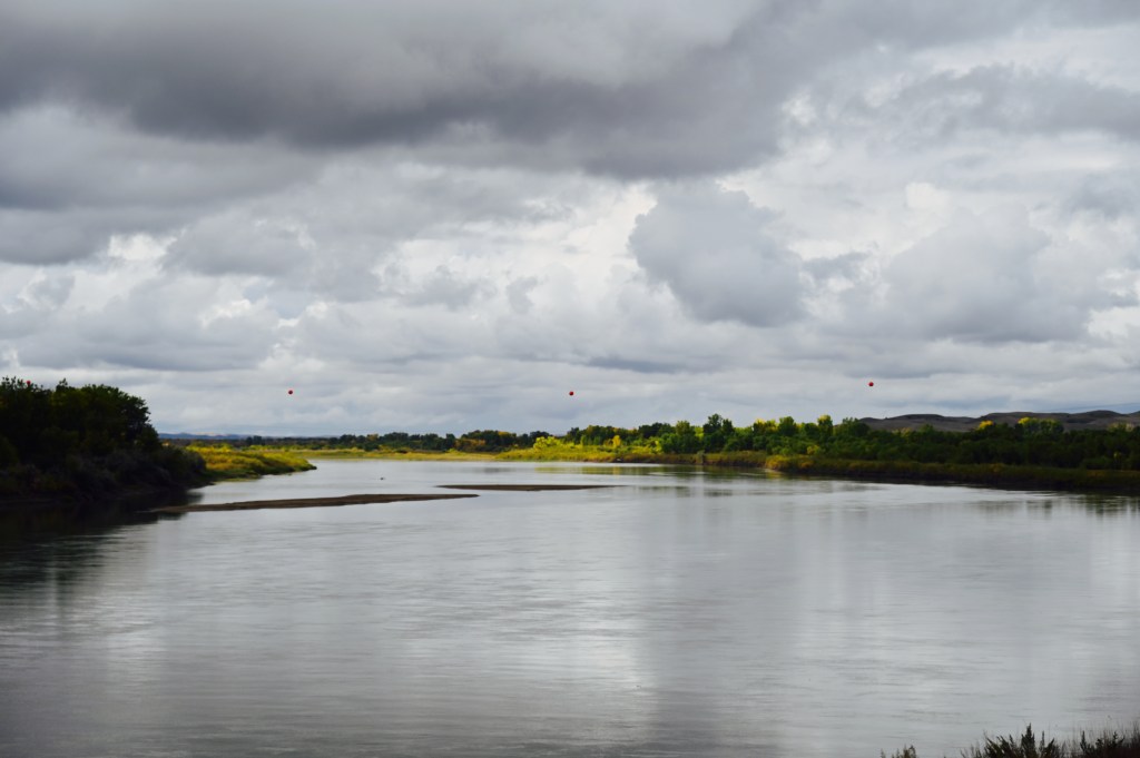
Fort Union on The Lewis and Clark Trail

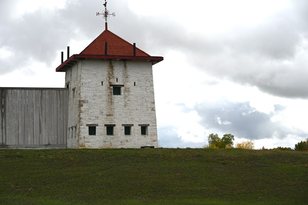
Between 1828 and 1867, Fort Union was the most important fur trade post on the Upper Missouri River. Here, the Assiniboine and six other Northern Plains Tribes exchanged buffalo robes and smaller furs for goods from around the world, including cloth, guns, blankets, and beads.
The Missouri River used to be right close to this structure but through the years has changed course several times.


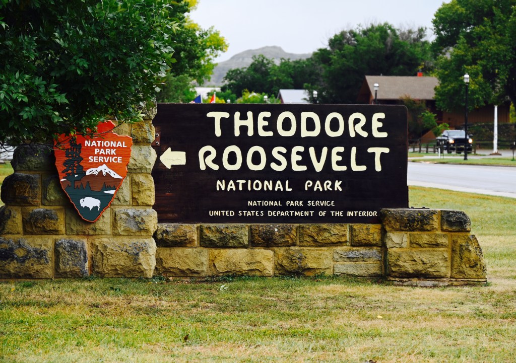
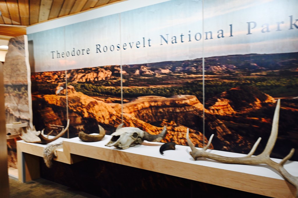
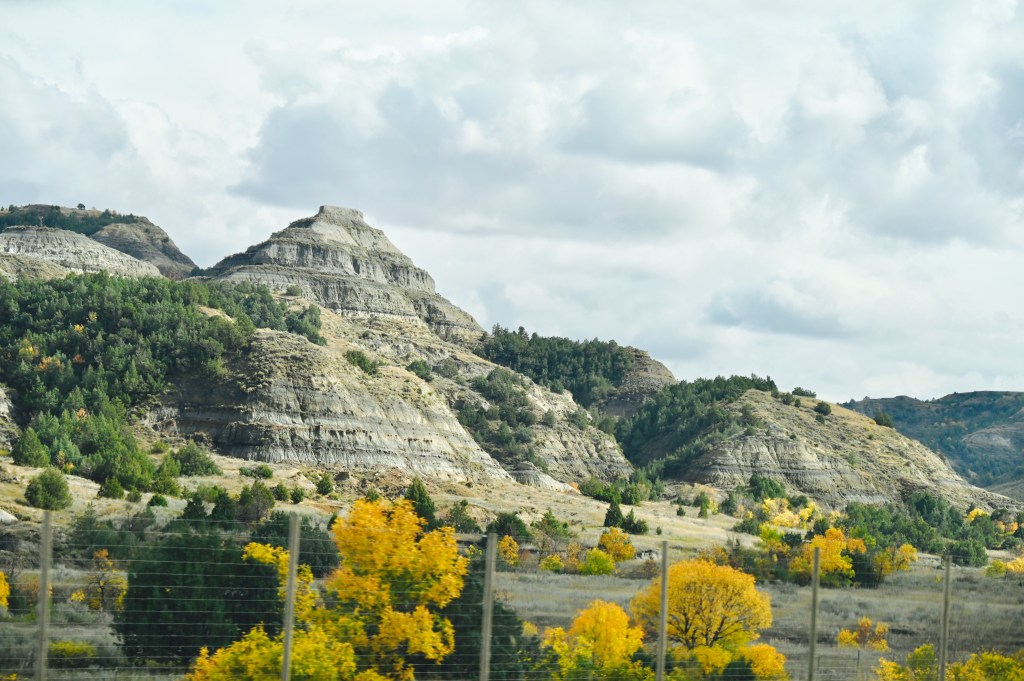
Theodore Roosevelt National Park
Theodore Roosevelt, often called “the conservation president,” impacted the National Park System well beyond his term in office. He doubled the number of sites within the National Park system. As President from 1901 However another Roosevelt enactment had a broader effect: the Antiquities Act of June 8, 1906. The Antiquities Act enabled President Roosevelt and succeeding Presidents to proclaim historic landmarks, historic or prehistoric structures, and other objects of historic or scientific interest in federal ownership as national monuments.


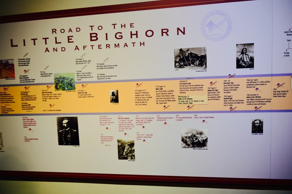
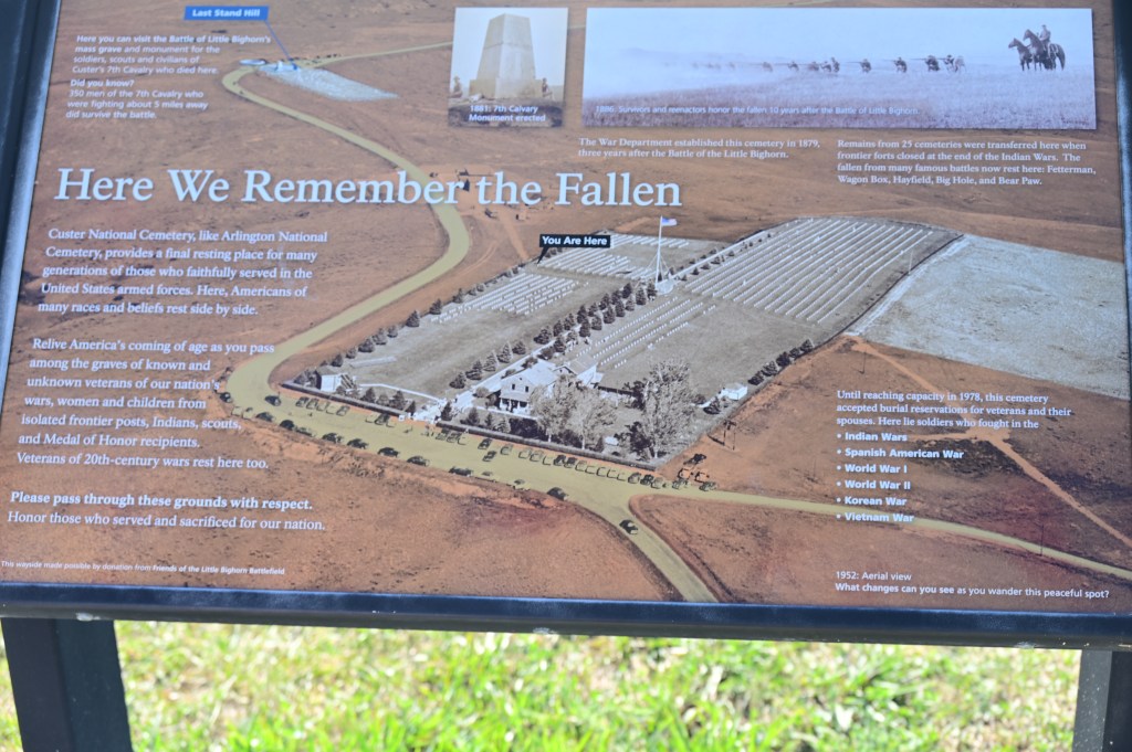
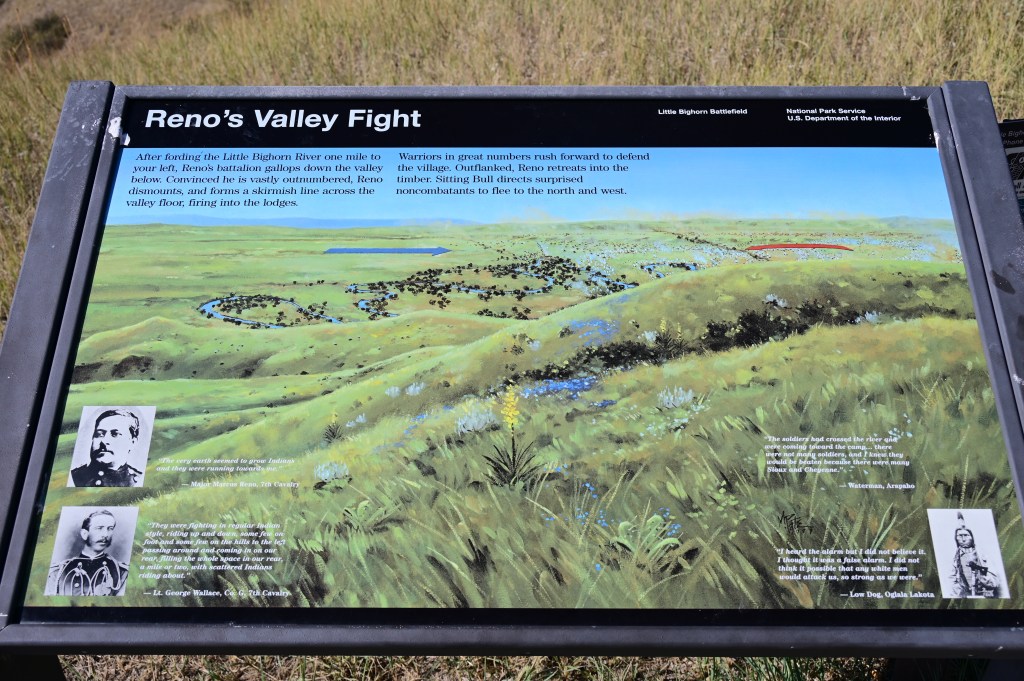
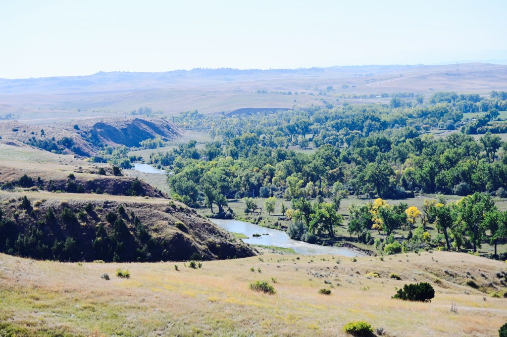
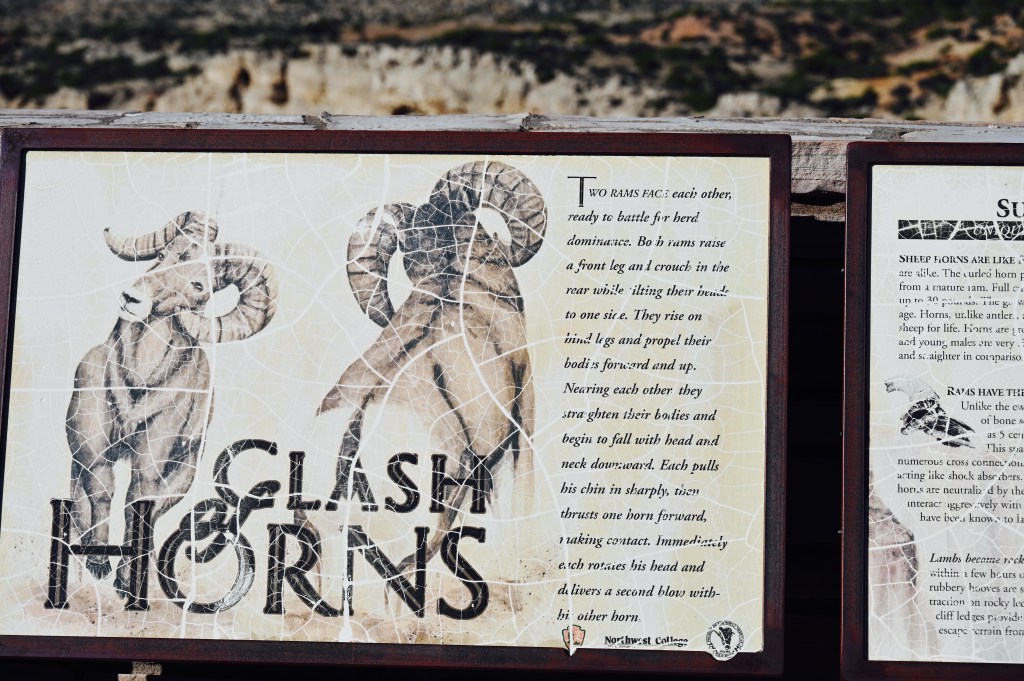
Custer’s Last Stand, Battle of Bighorn Memorial
This area memorializes the US Army’s 7th Cavalry, Crow, and Arikara scouts and the Lakotas, Cheyennes, and Arapaho in one of the American Indian’s last armed efforts to preserve their way of life.
Here on June 25 and 26 of 1876, 263 soldiers, including Lt. Col. George A. Custer and attached personnel of the US Army, died fighting several thousand Lakota, Cheyenne, and Arapaho warriors.
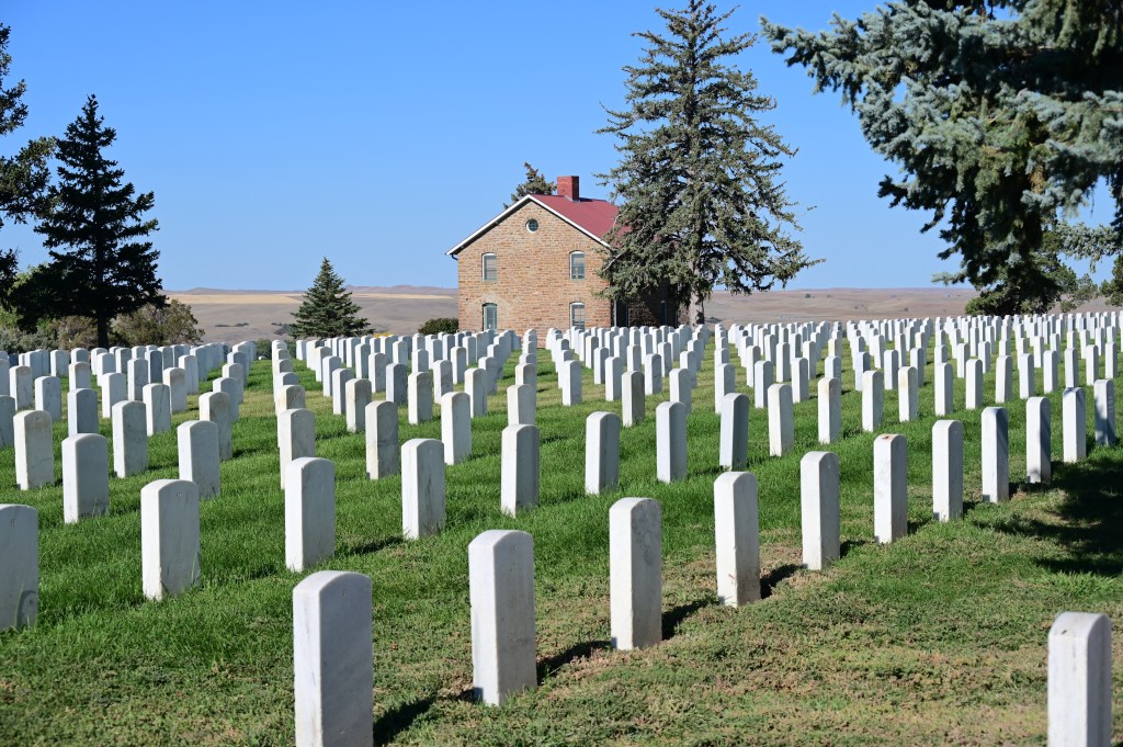
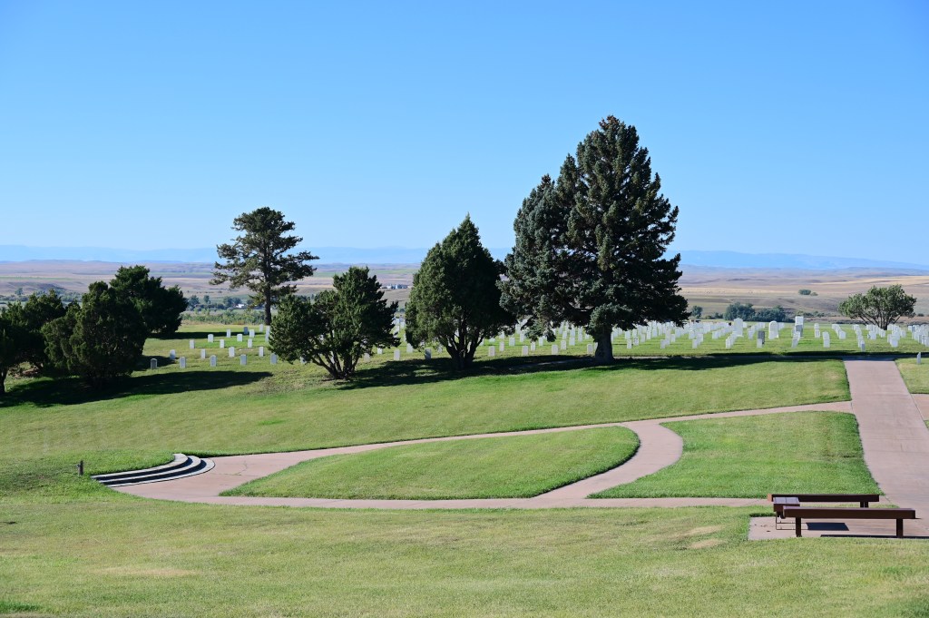
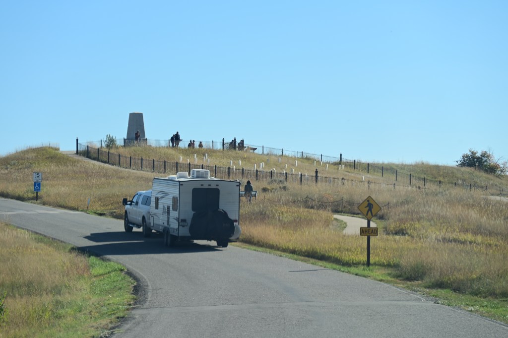
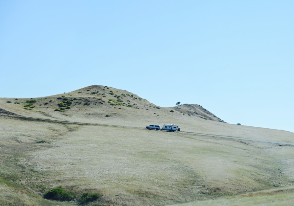
We were able to drag our rigs up the 5 mile self guided tour of the battlefields.


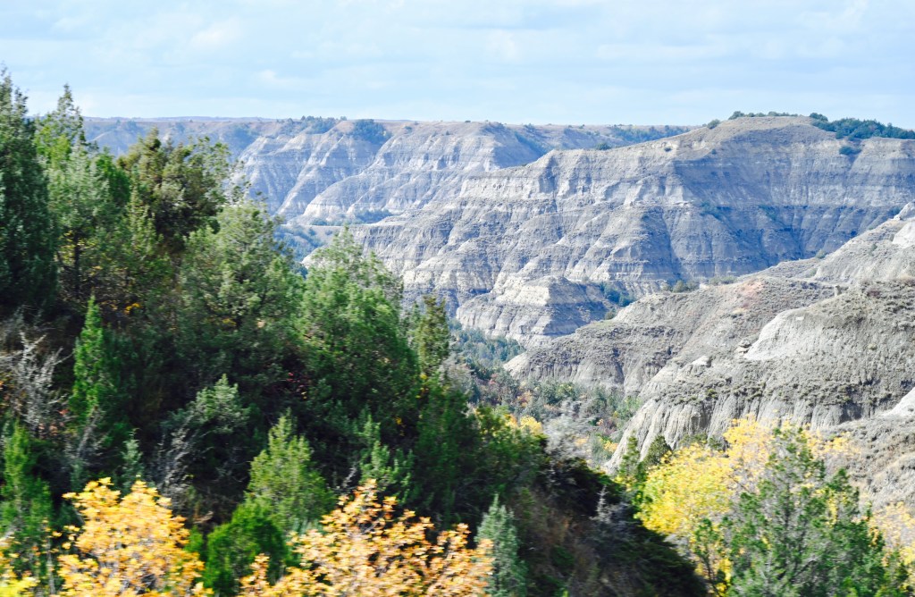
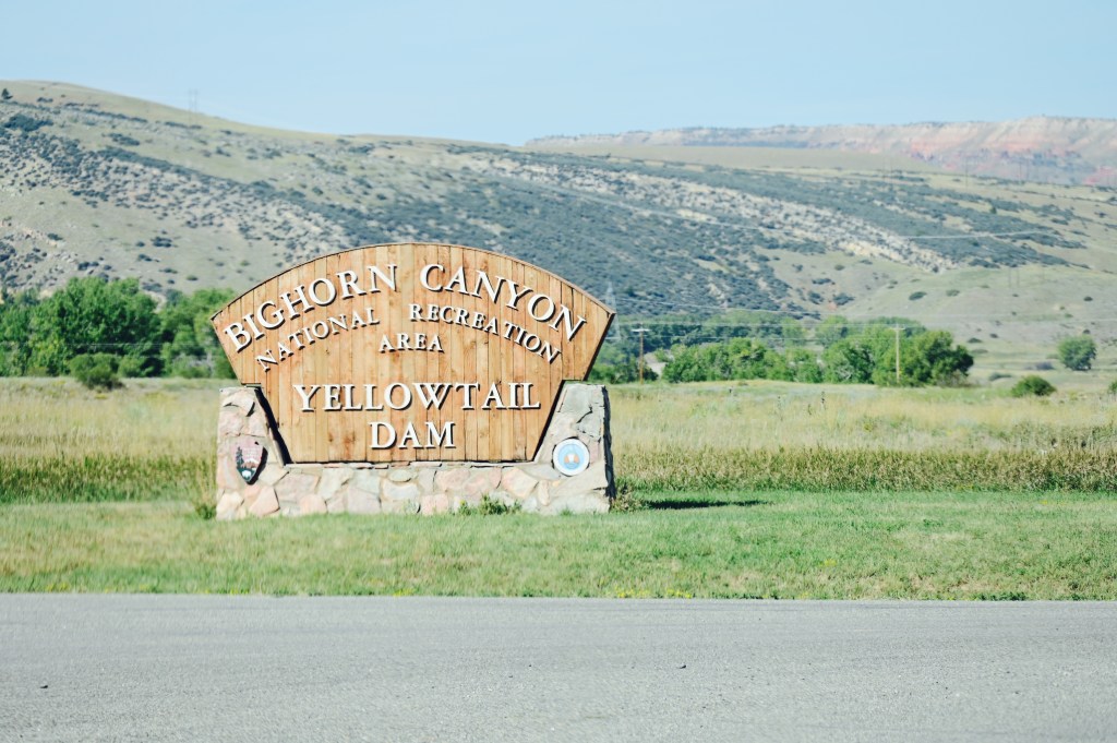
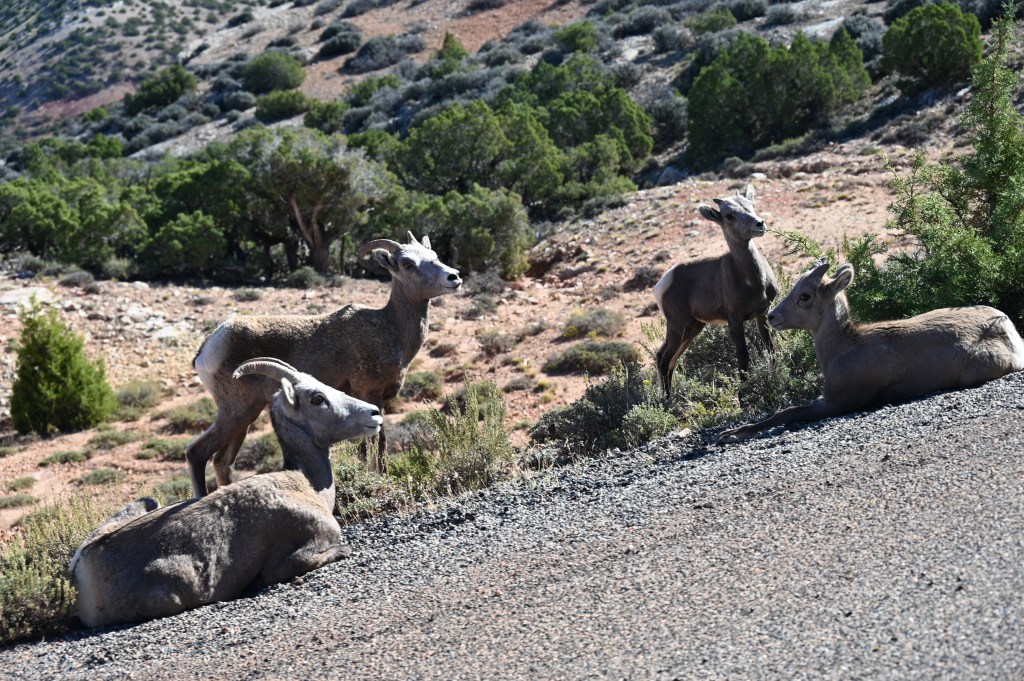
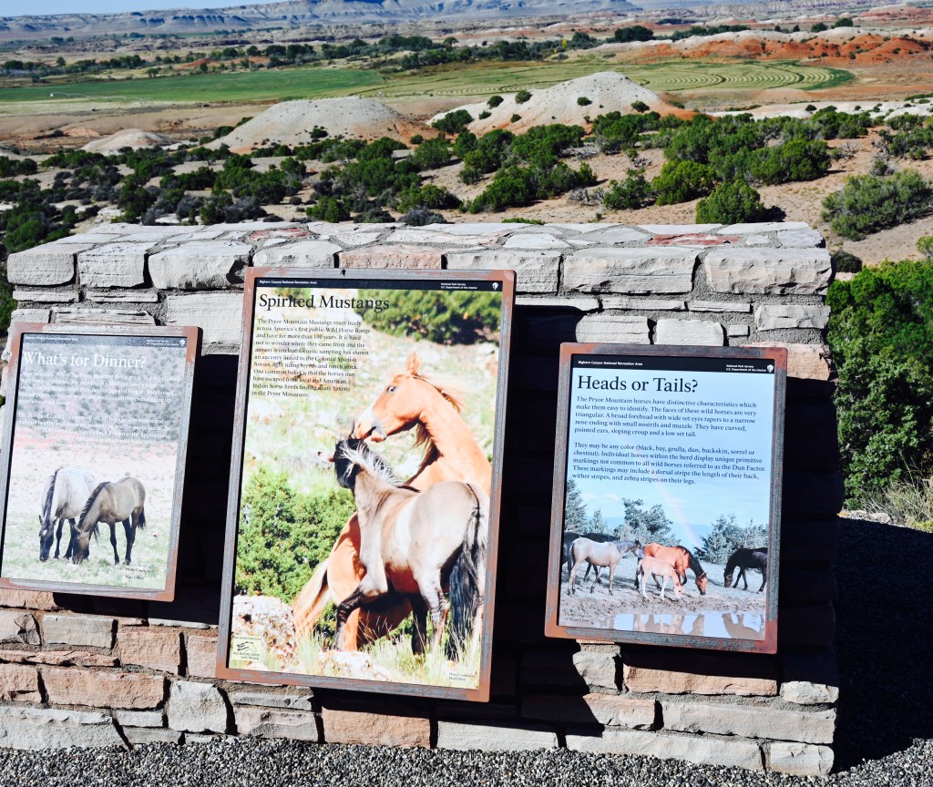
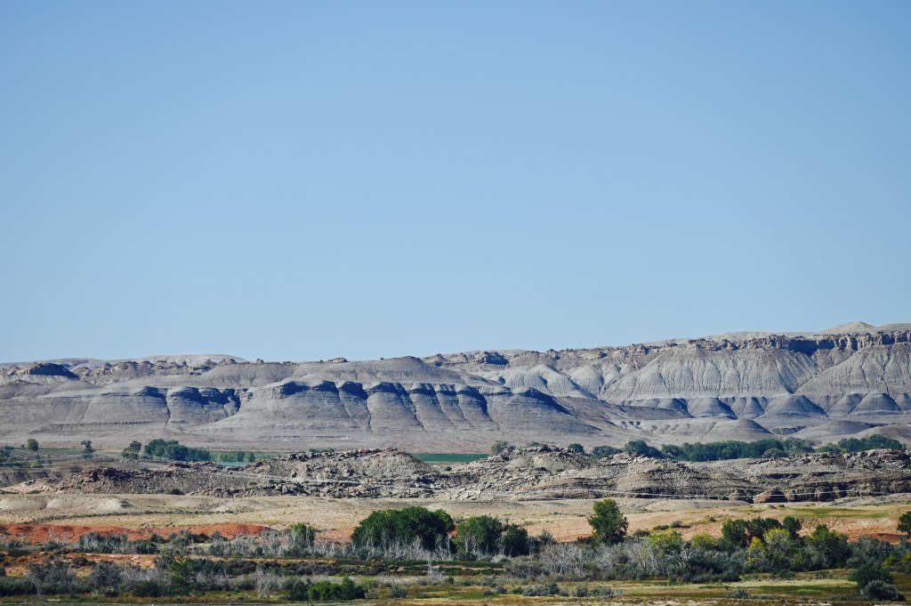
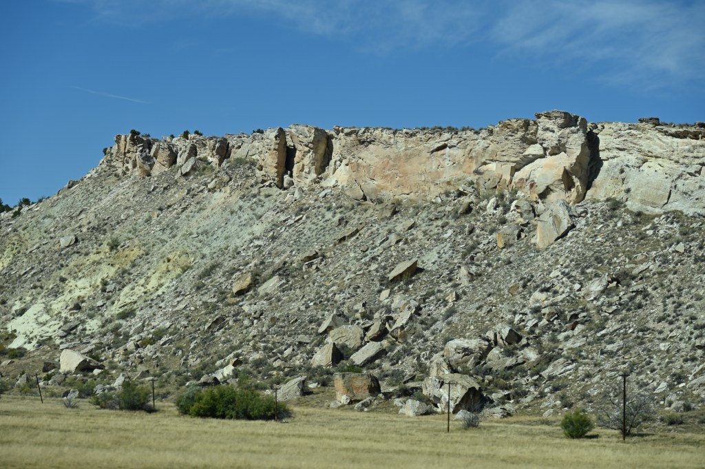
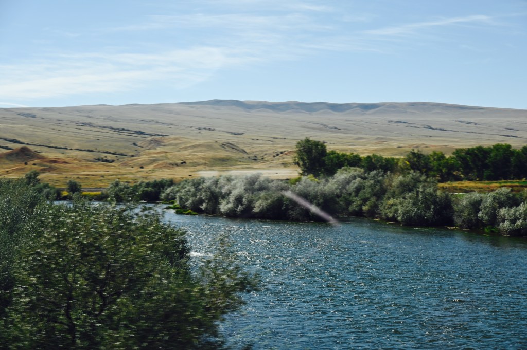
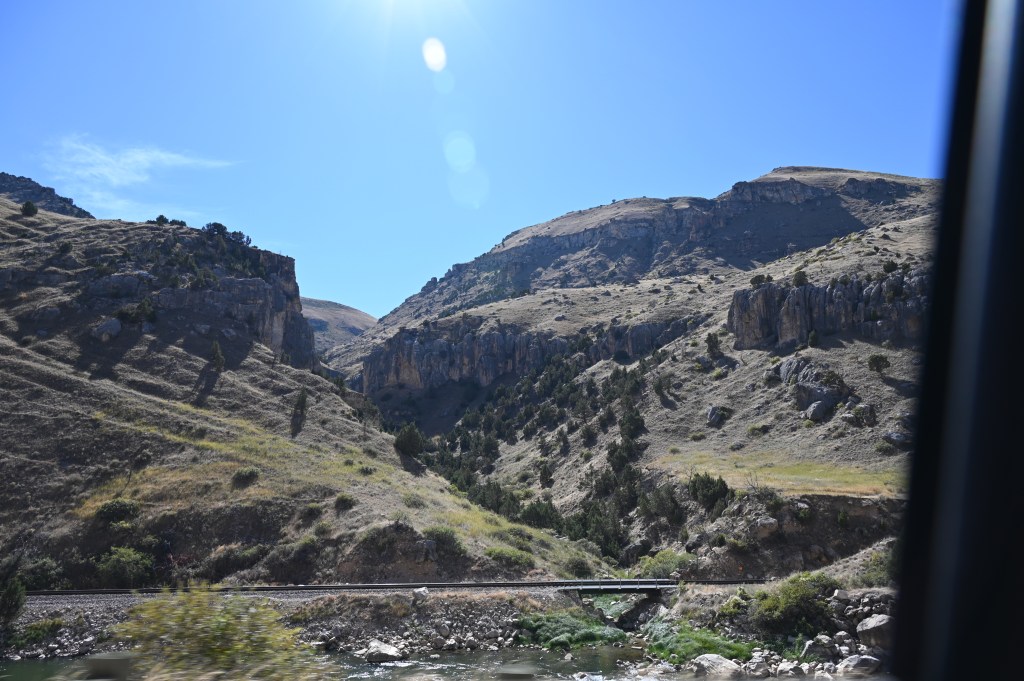
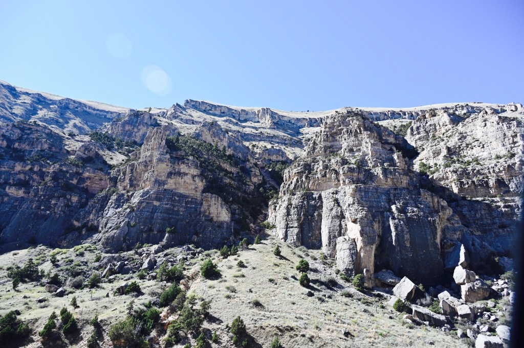
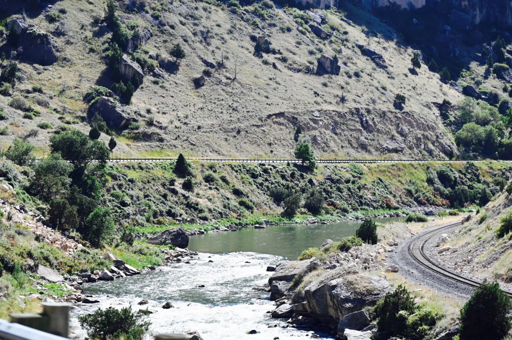
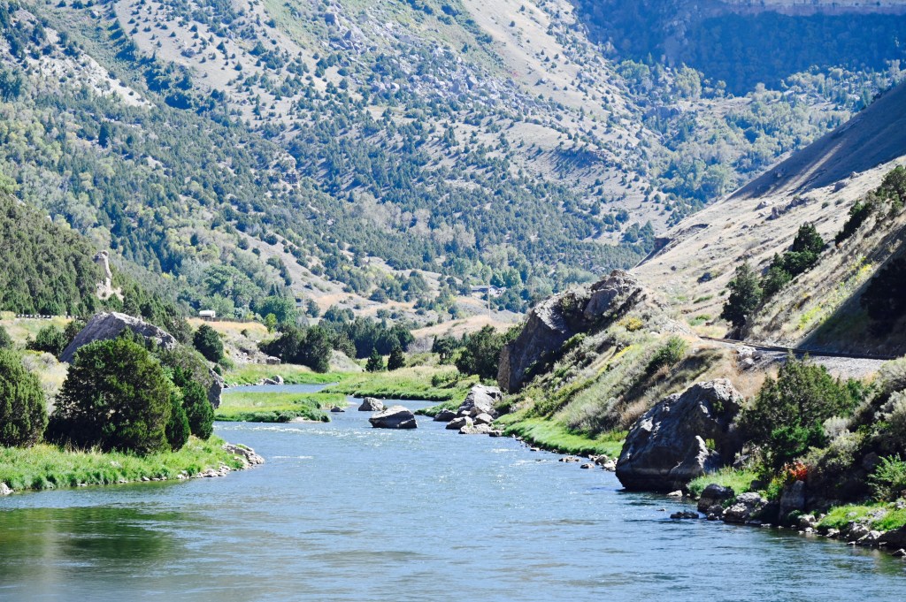
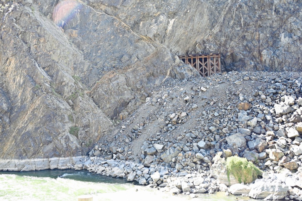
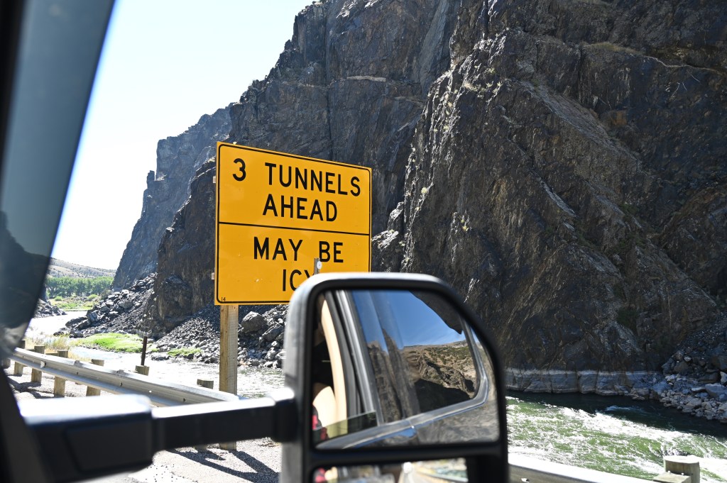
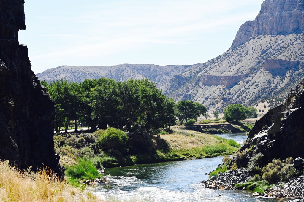
Bighorn Canyon National Recreation Area
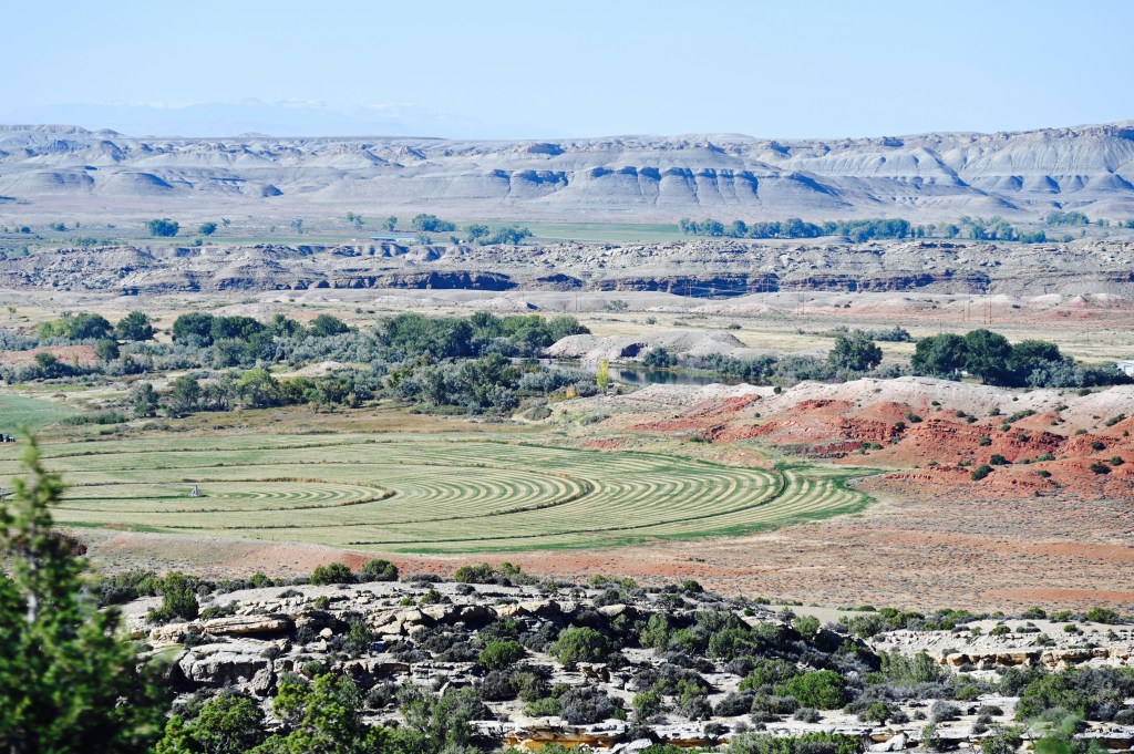
What was once a roaring river carving its way into a deep gorge is now a 71-mile long lake winding between sandstone cliffs. The towering cliffs, some a thousand feet high, change colors with the light. When the water is calm, it’s hard to know where the water ends and the cliffs begin — it’s stunning — and it’s easy to understand why the Crow people consider it a sacred place.
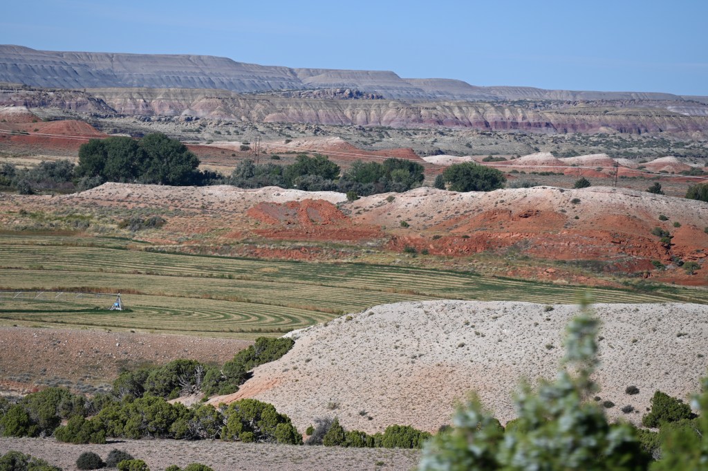
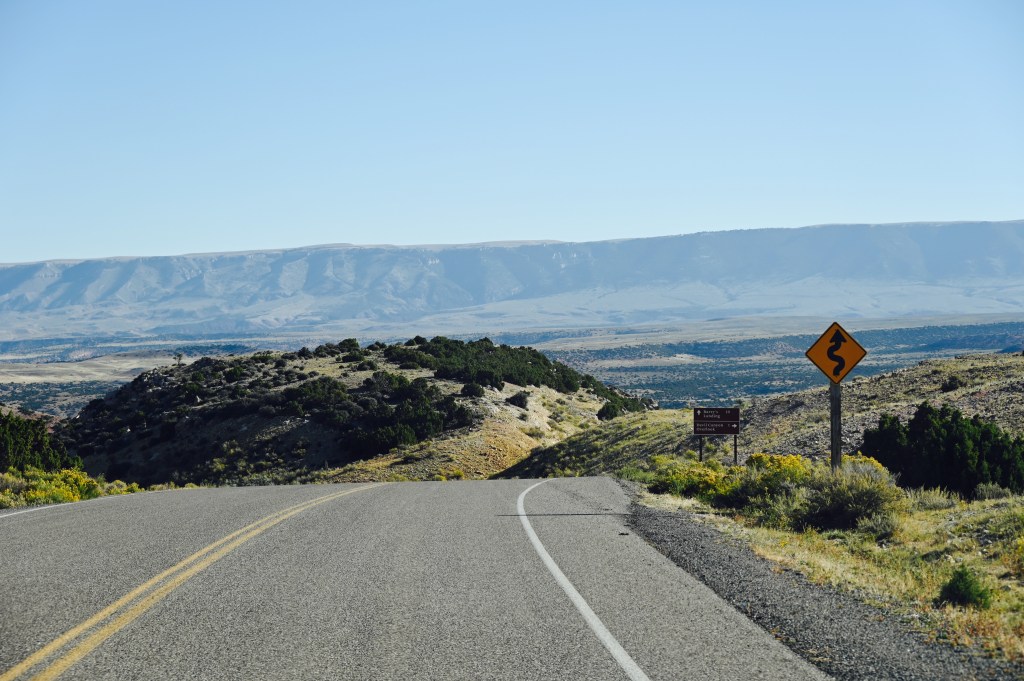
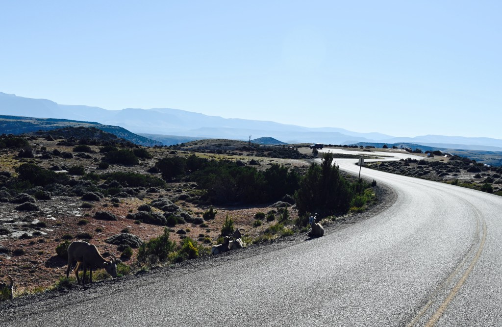
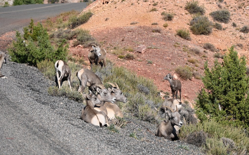
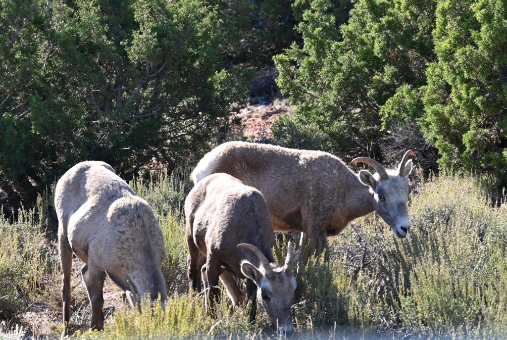
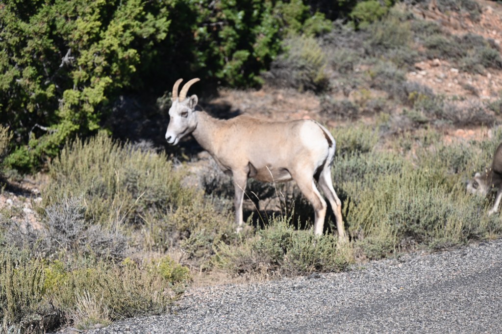

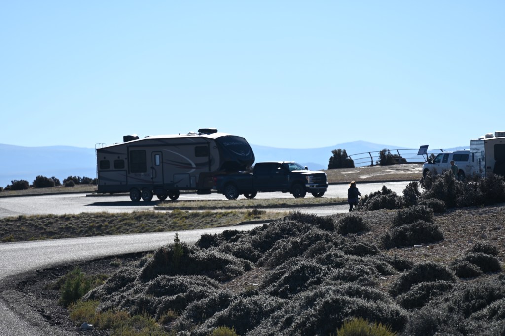


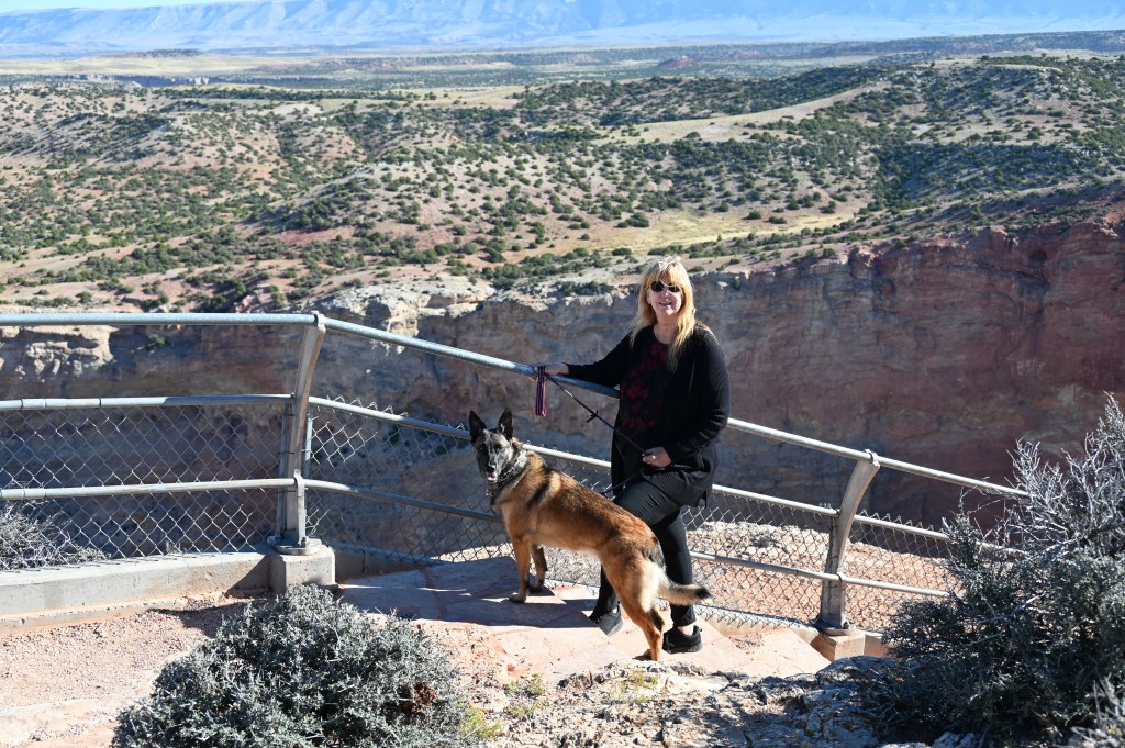

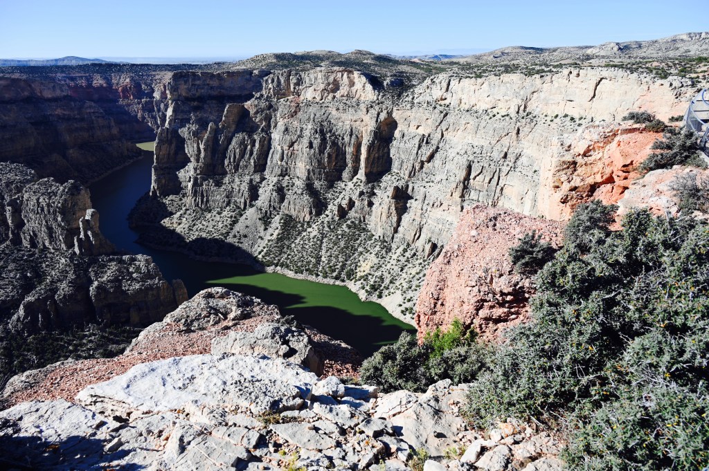
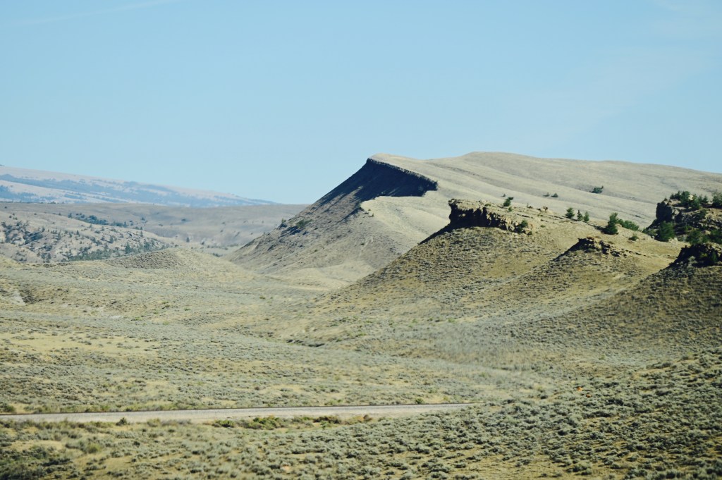
It’s hard to beat this stunning travel day. There was more beauty around every turn.


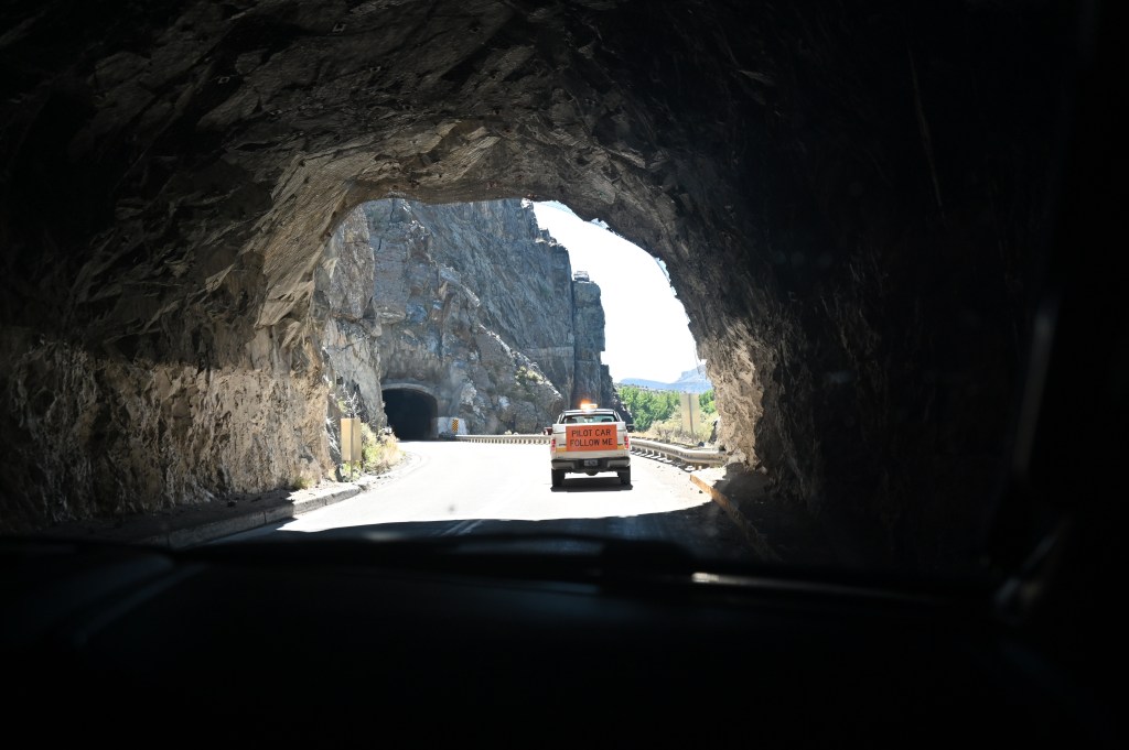
We’re hoping the rain stops soon as we turn south in Wyoming. If you’re still with us stay tuned, there’s more to come.
