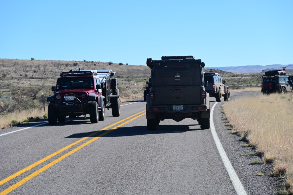
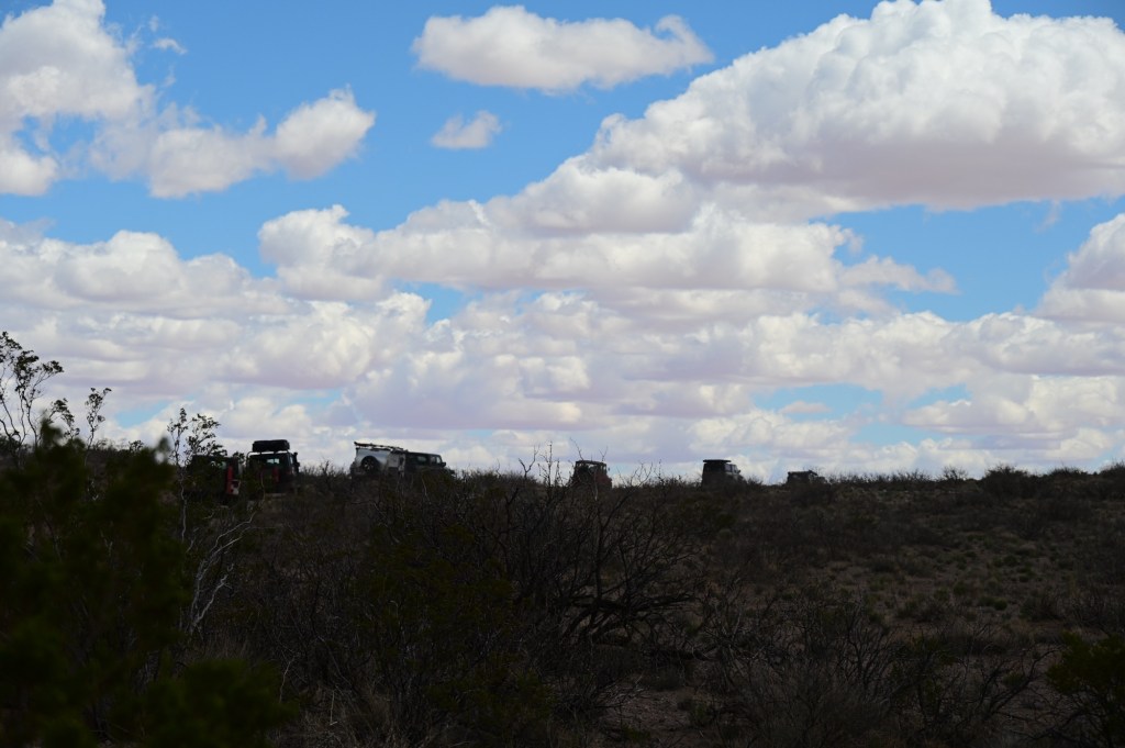
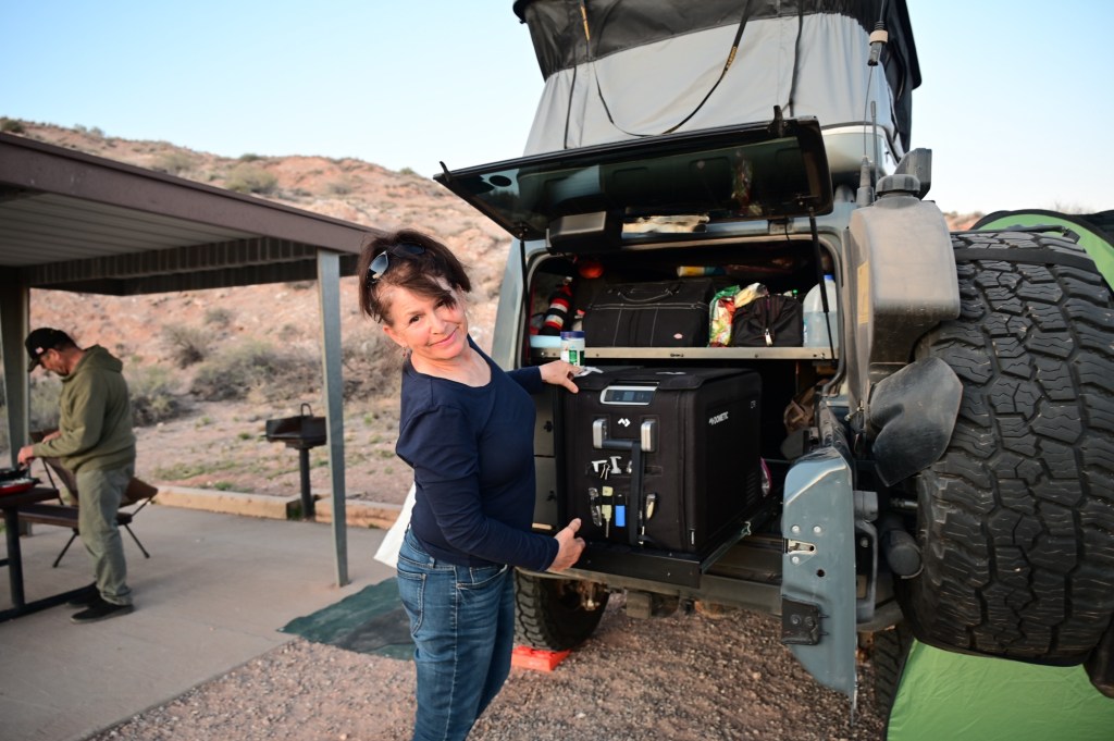
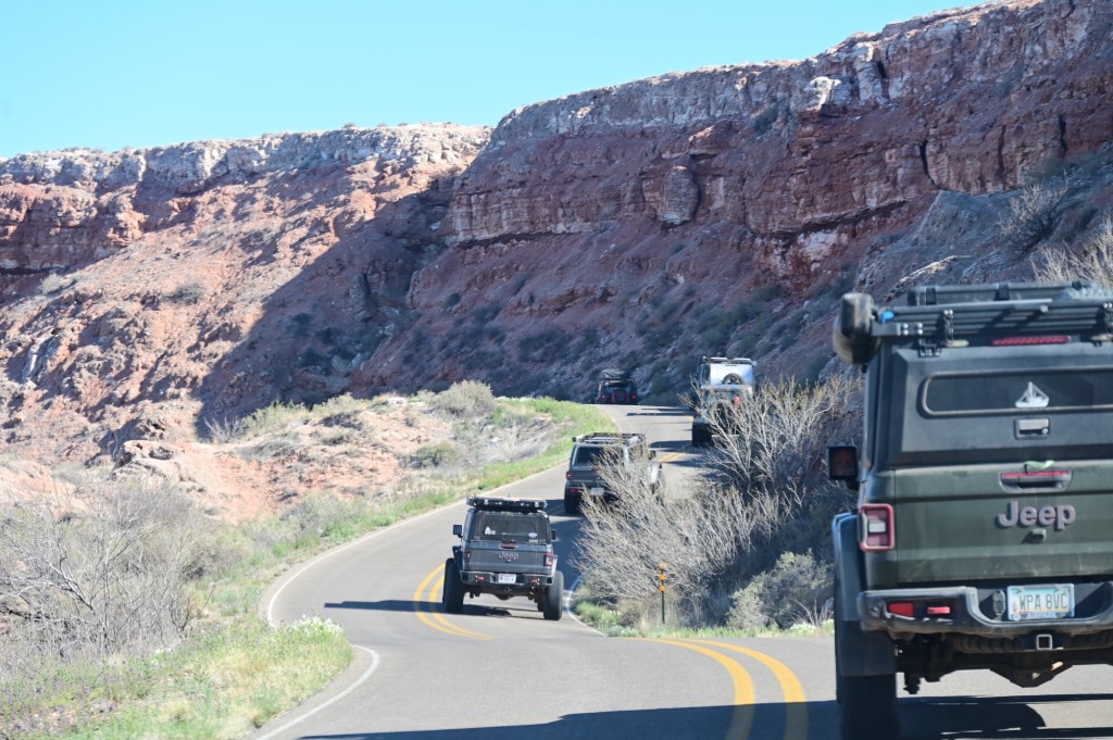
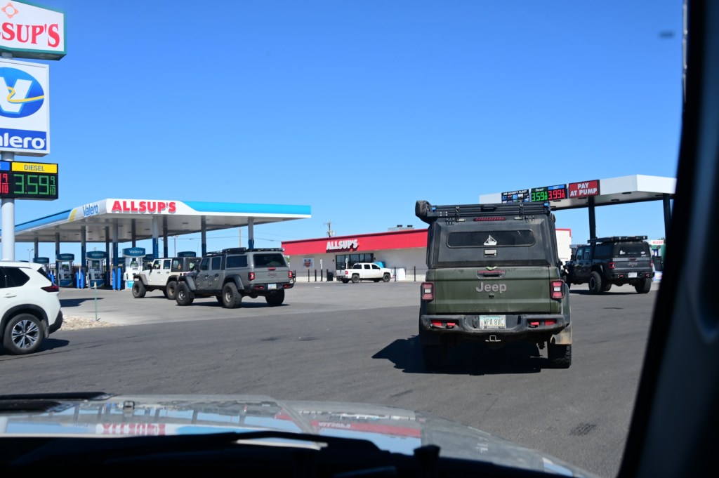
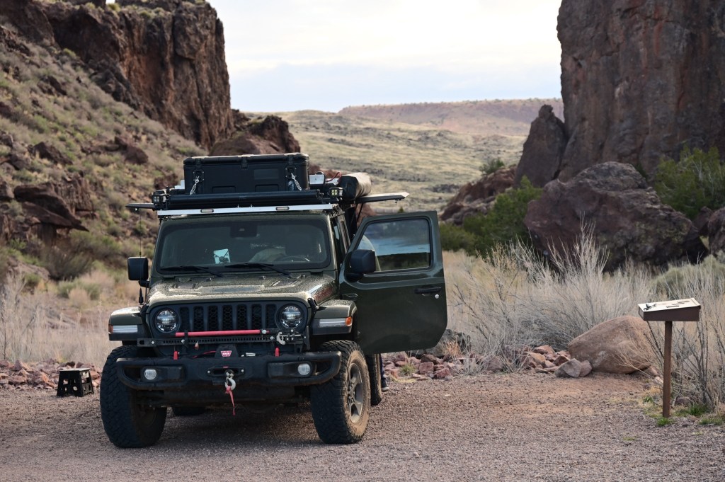
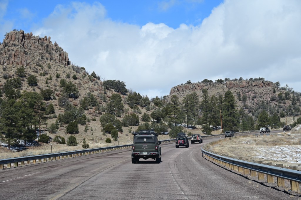
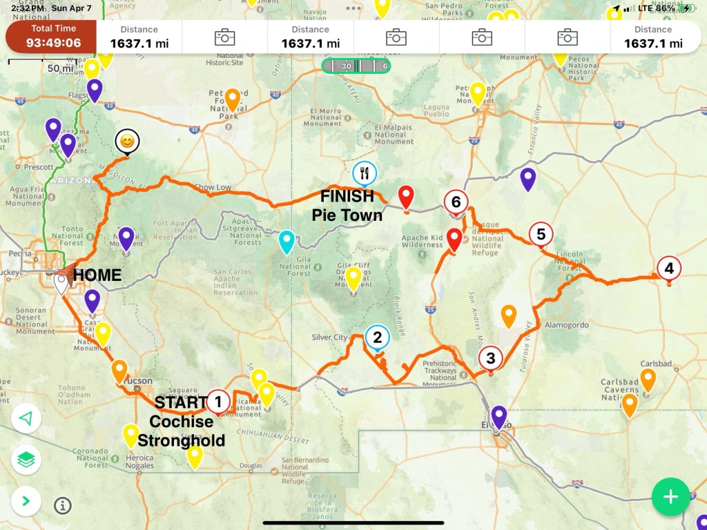
March 31, Sunday – On our way from Mesa, AZ to the actual Jeep expedition starting point:
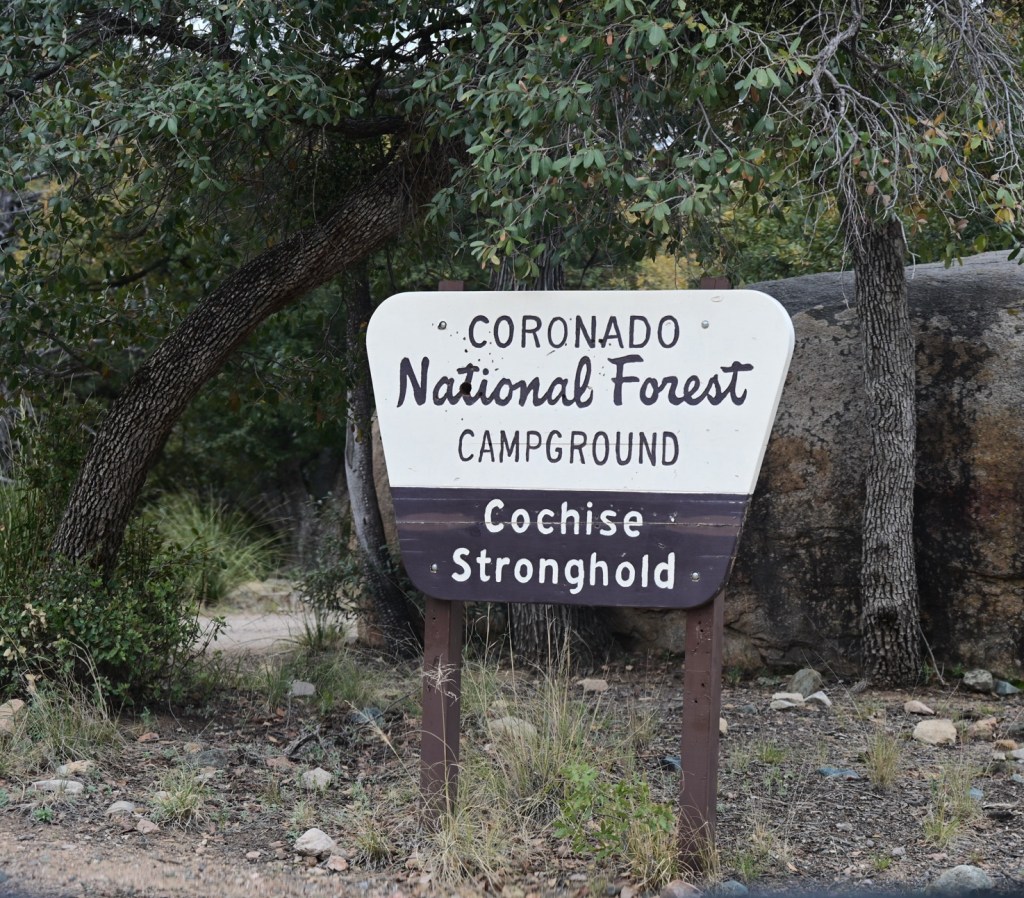
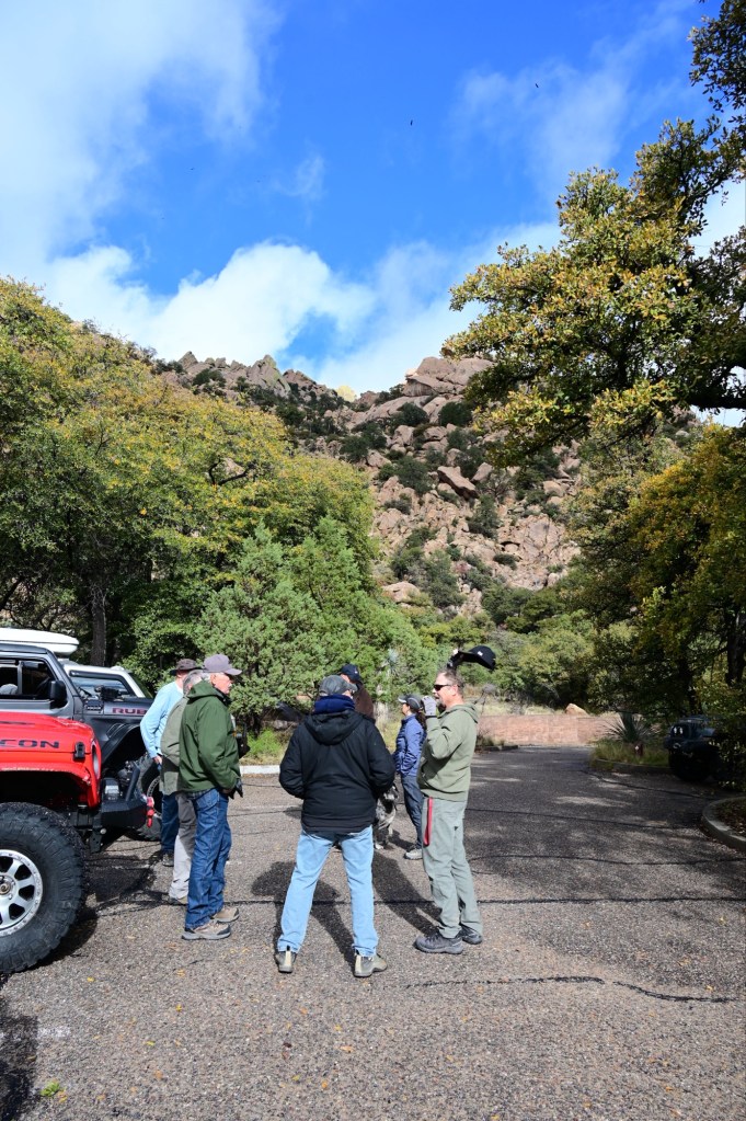
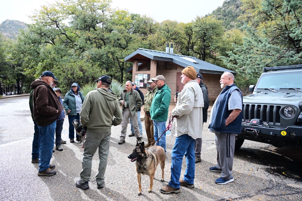
March 31- The group gathering point and trip start was at the Cochise’s Stronghold Campground east of Benson, AZ off of I-10. Since we were leaving from home in Mesa, Arizona, we made a couple of stops on the way.
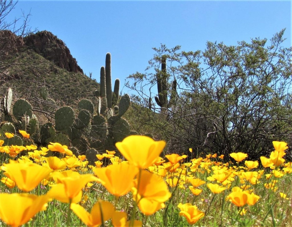
We’ve passed by Picacho Peak State park south of Phoenix countless times. It’s beautiful from the interstate but even better in the park! And then we found that it is part of the Butterfield Trail Route. Perfect!
Picacho Peak
The Butterfield Overland Mail route had a stop near Picacho Peak, between Phoenix and Tucson. The park is near the site of the Battle of Picacho Pass, one of several American Civil War era engagements to occur in Arizona Territory. A Union cavalry patrol from California skirmished with Confederate scouts from Texas, and three men were killed. This marks the second westernmost battle of the American Civil War.
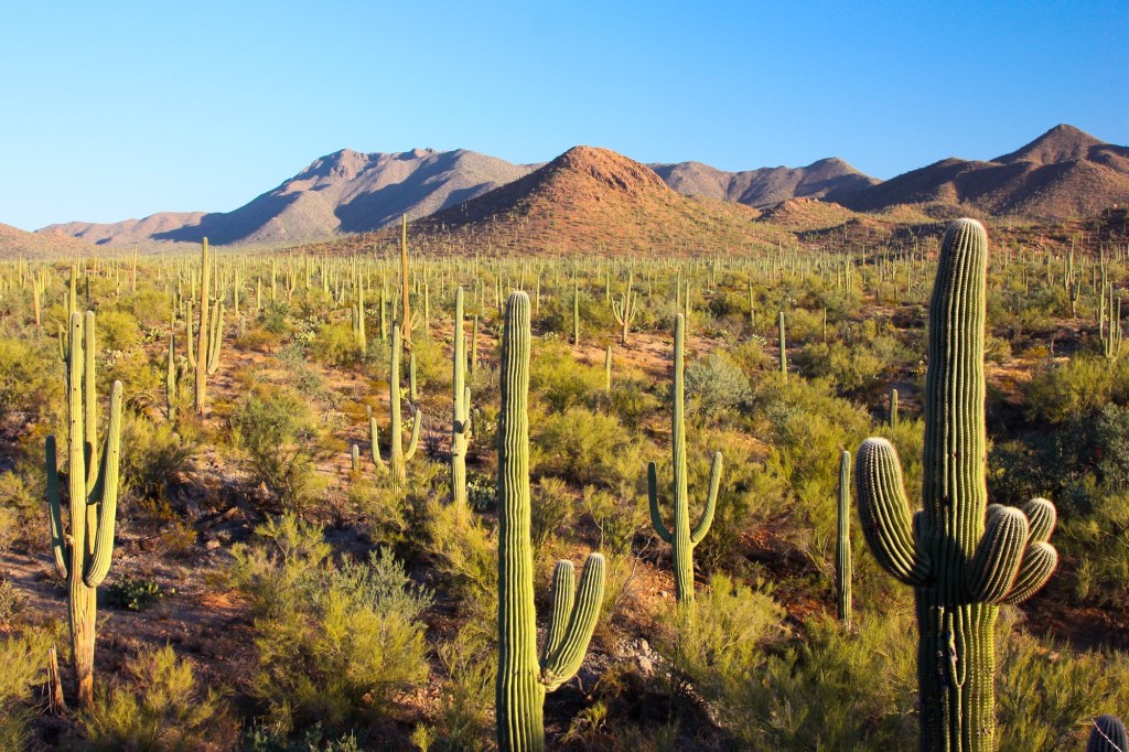
We’ve been through Saguaro National Park East of Tucson, but didn’t realized there was another western district. This is definitely the section with the most saguaro cactus.
Saguaro National Park – West
Saguaro National Park is uniquely situated around the 500 square miles that make up Tucson, AZ, which is at the heart of the Sonoran desert. Its two districts are separated by the city’s 1 million residents. The Tucson Mountain District (TMD) on the west, and the Rincon Mountain District (RMD) to the east, are approximately 30 miles (45-60 minutes) apart
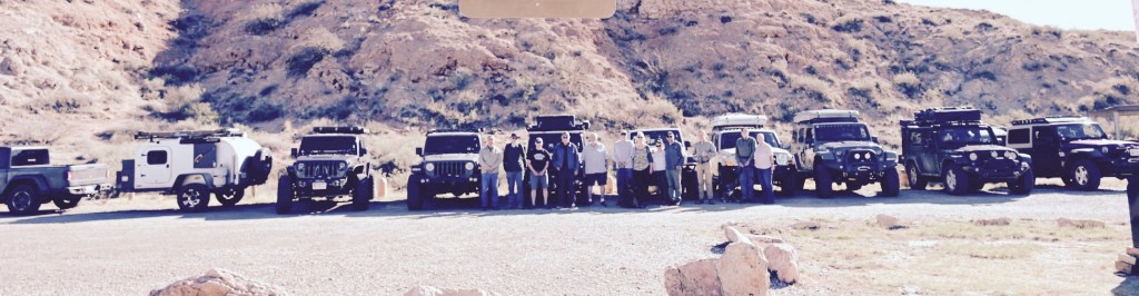
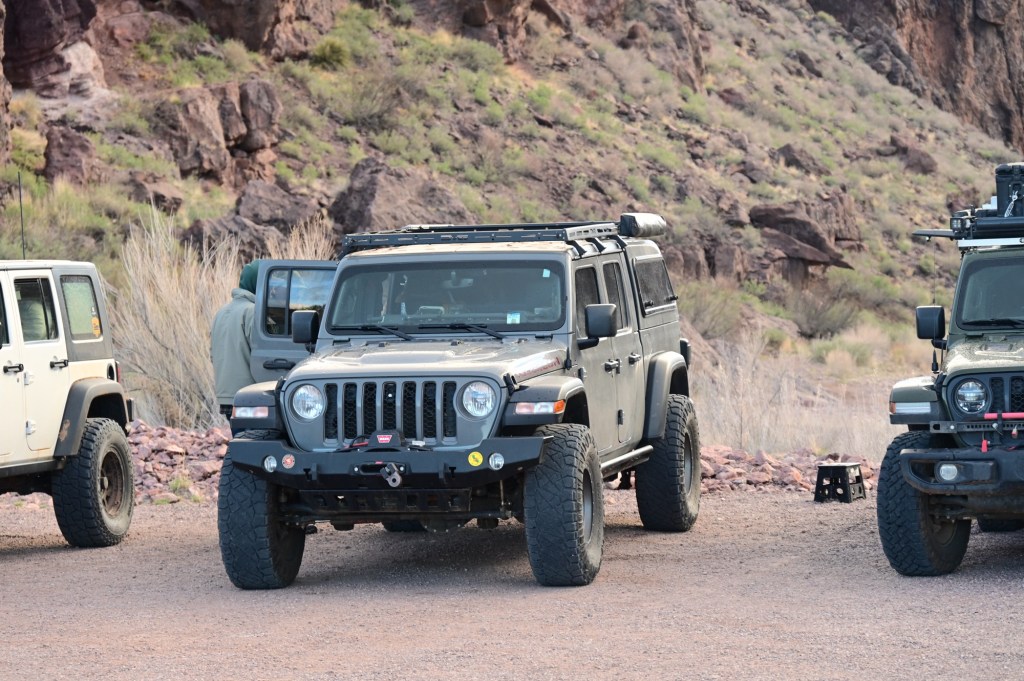
March 31, Sunday – Meet up with JEO Group, The Cochise Stronghold, Arizona
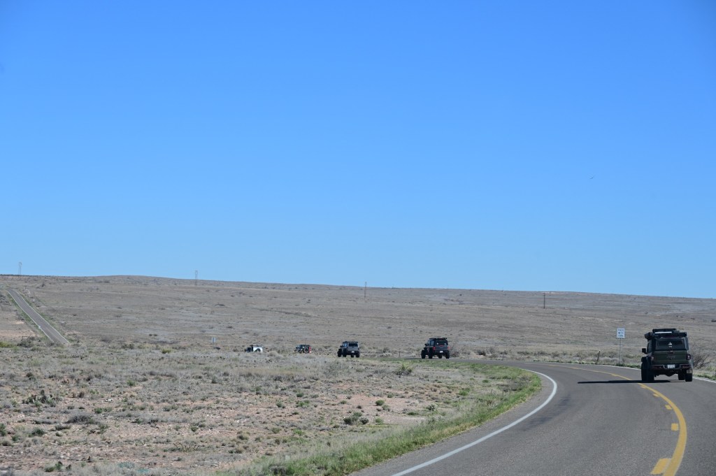
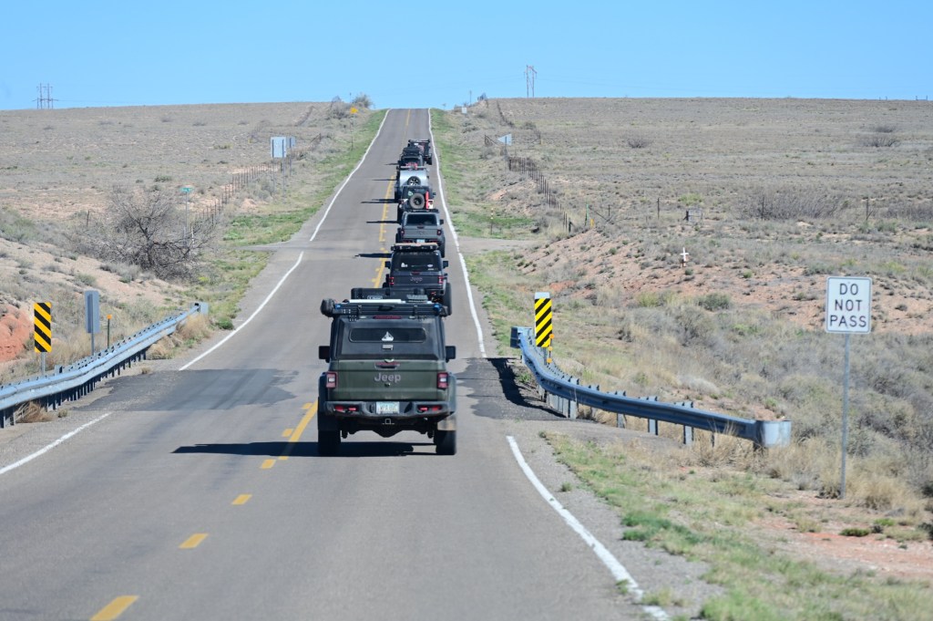
The plan was to follow part of the Butterfield Stage Coach Route (AZ & NM), highlighting the Civil War battle sites in New Mexico, and Roswell (site of 1st known crash site of a “flying saucer”). And more! Note that a big focus was the chance to go to the Trinity site which was in the past only opened to the public one day per year with reservations required. We weren’t even able to make reservations as the site has recently been closed to the public.
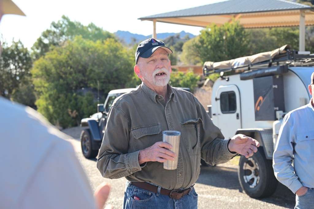
A special thank you to “Reasley” (Bob and Terry Easley), and “Sierra Bob” (Bob and Mari Strobel) for leading this historical adventure. Not only are they leading and providing interesting commentary along the way, they also spent a lot of time pre-running and researching the history of the Butterfield Stage Trail in preparation.
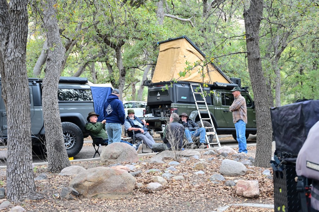
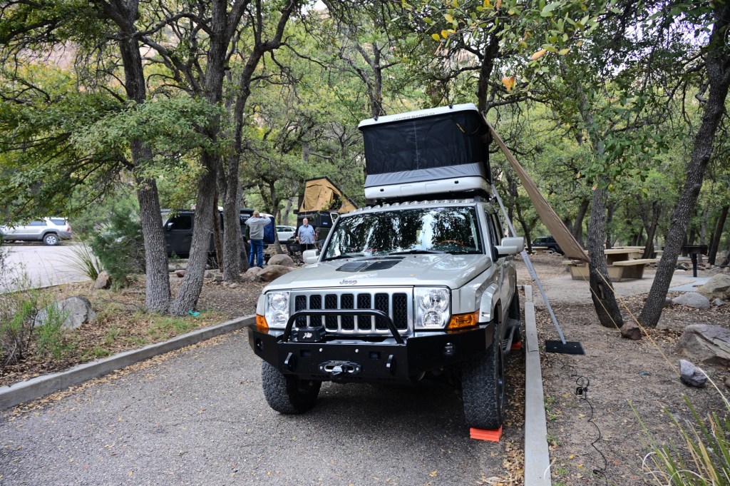
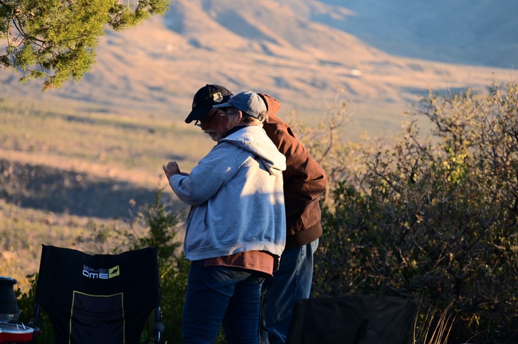
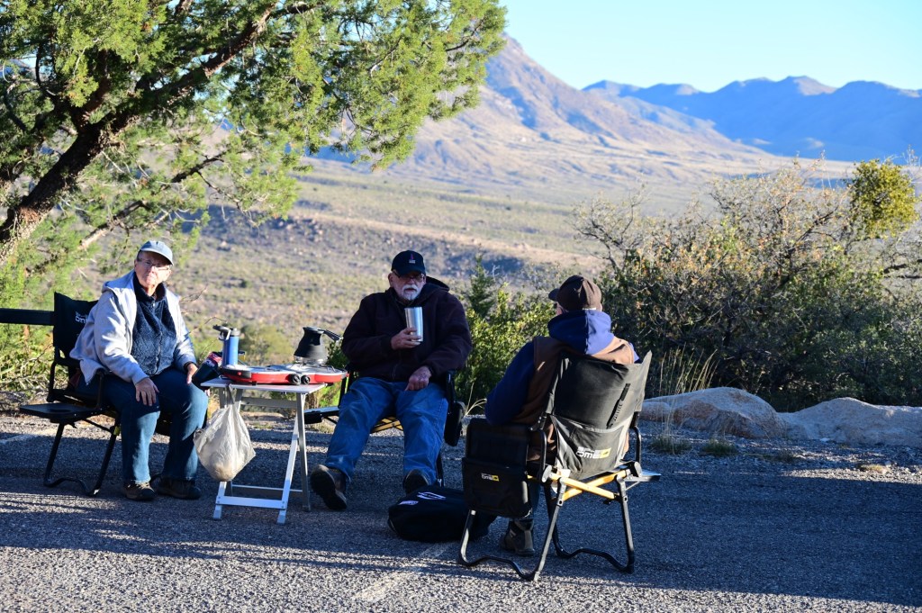
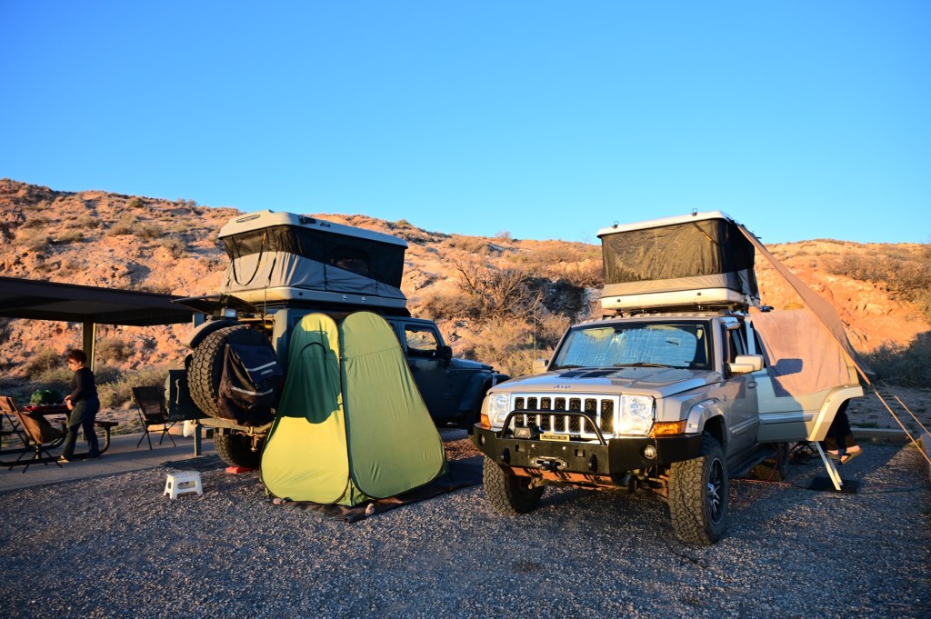
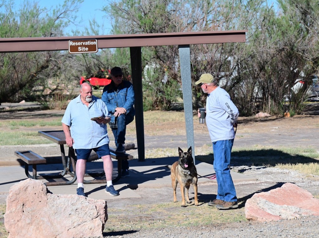
Hello old and new friends!The best part of over-landing, just sitting around talking….Nice campground, but the storm rolled in and the creek was rising!
April 1, Monday, Cochise Stronghold, Dragoon Springs, Fort Bowie, City of Rocks
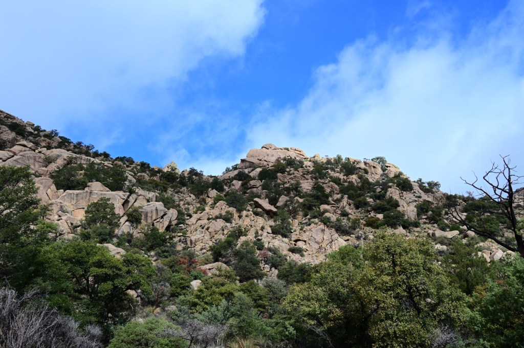
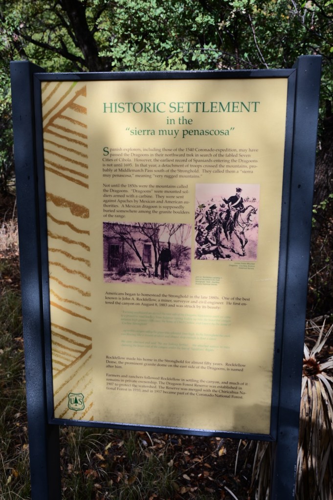
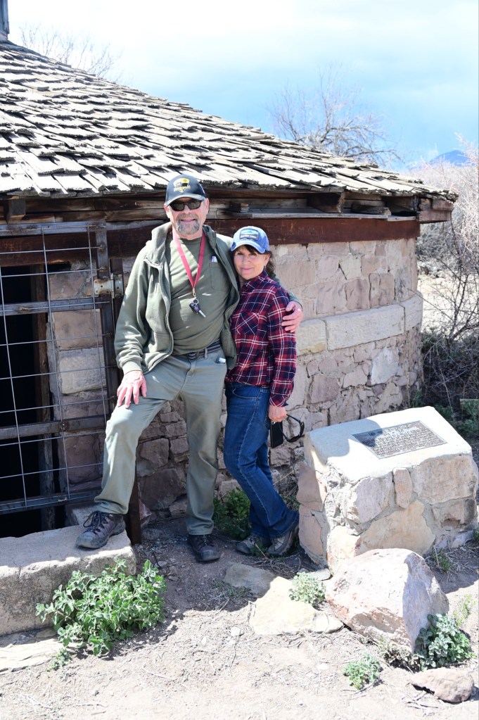
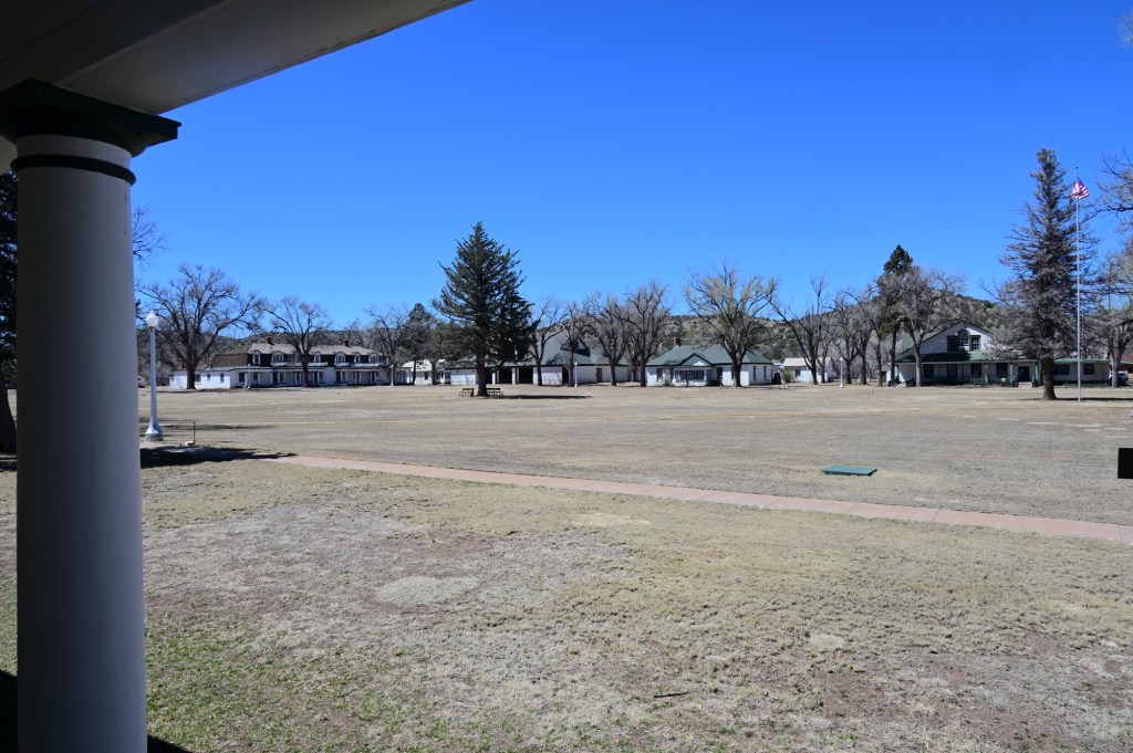
This rugged natural fortress was, for some 15 years, the home and base of operations for the famed Chiricahua Apache Chief, Cochise. Cochise and about 1,000 of his followers, of whom some 250 were warriors, located here. Born in present-day Arizona, Cochise led the Chiricahua band of the Apache tribe during a period of violent social upheaval. In 1850, the United States took control over the territory that today comprises Arizona and New Mexico.
It’s easy to see why this area was originally settled. It is uniquely situated back into the cliffs providing privacy and protection from the enemy.
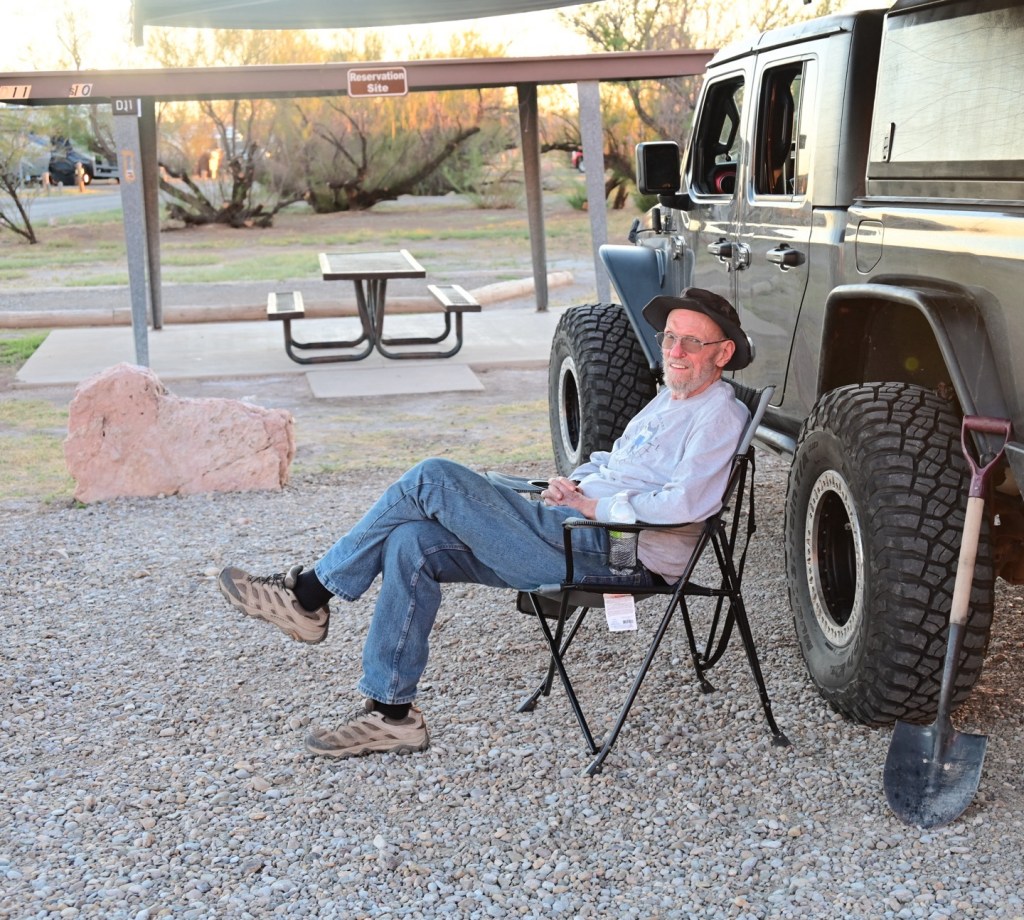
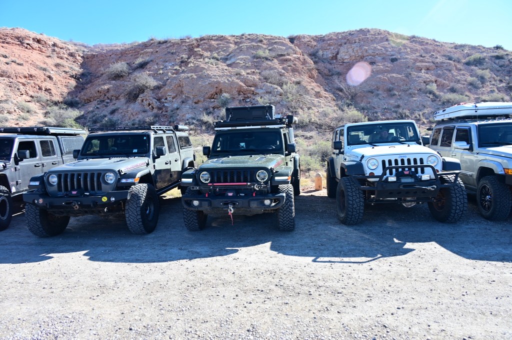
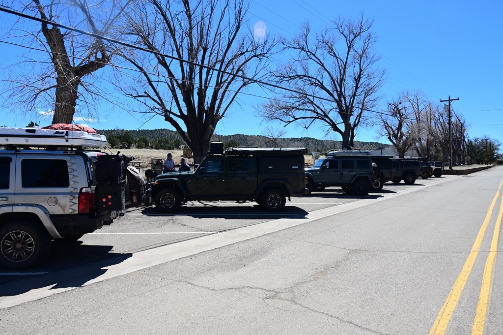
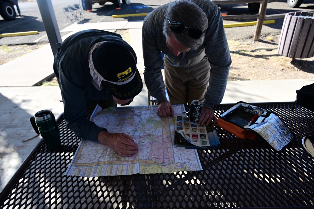
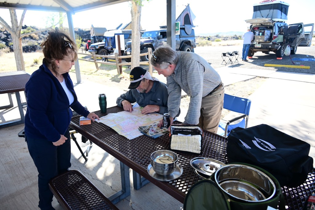
The first of many driver’s meetings. Already dreaming of a car wash….
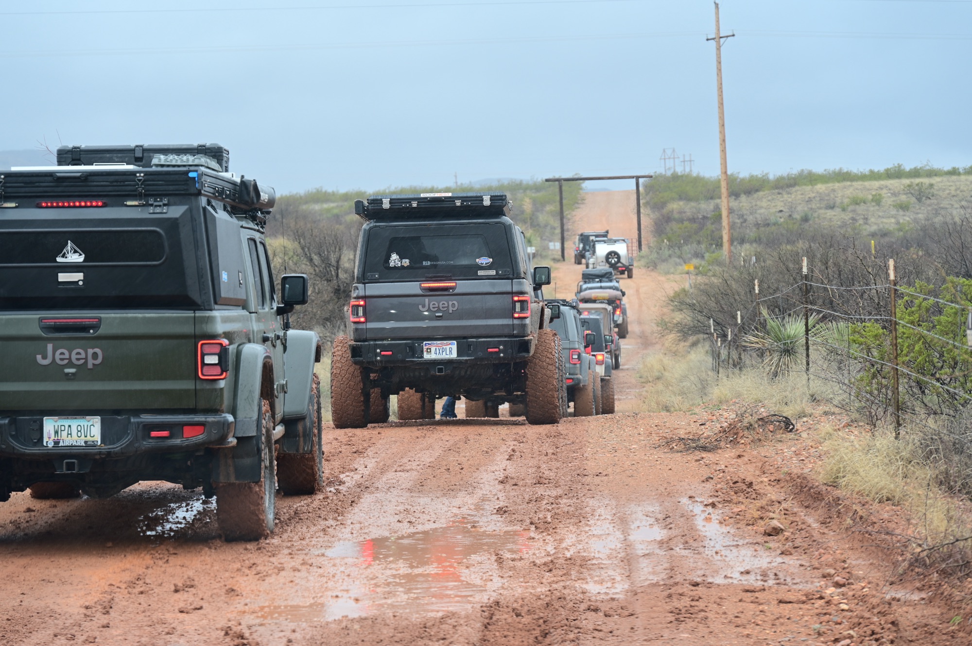
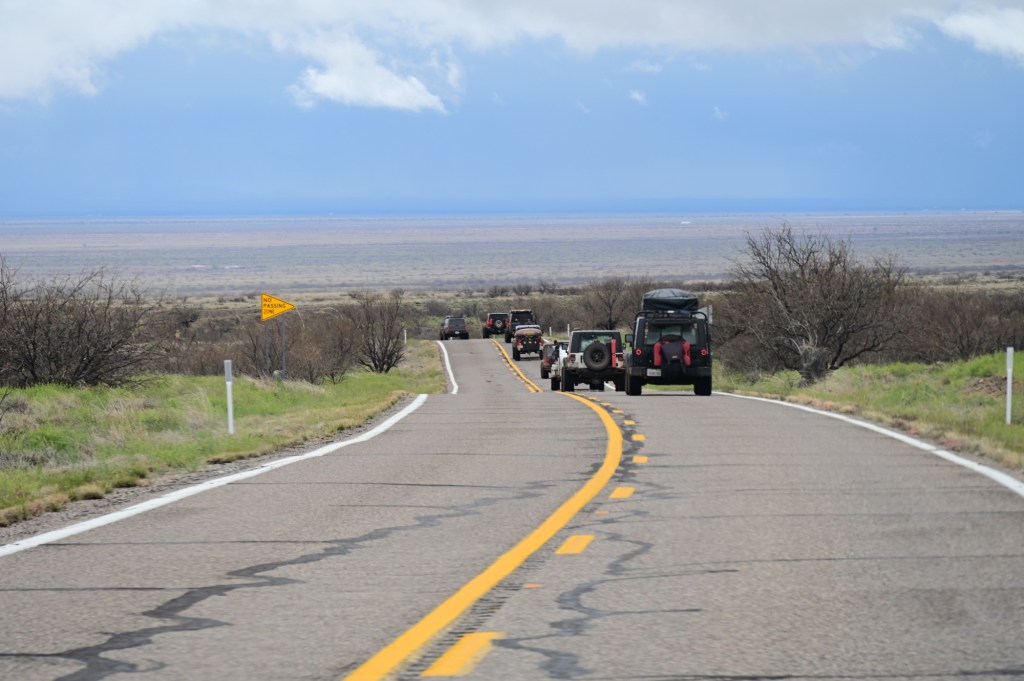
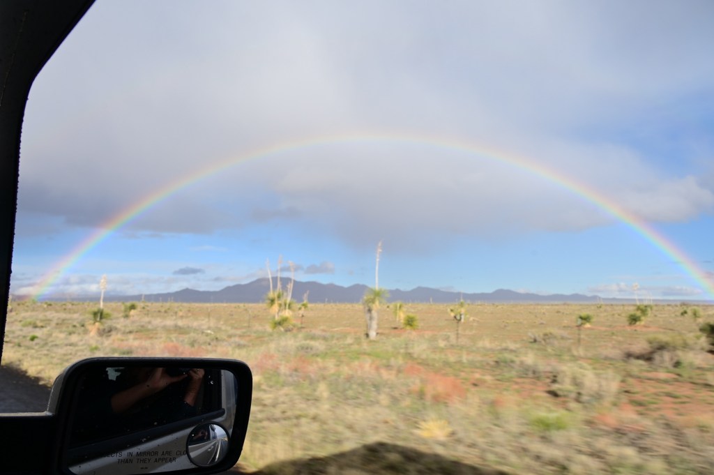
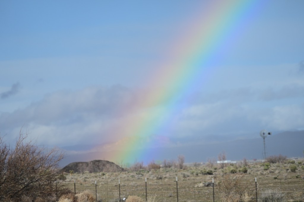
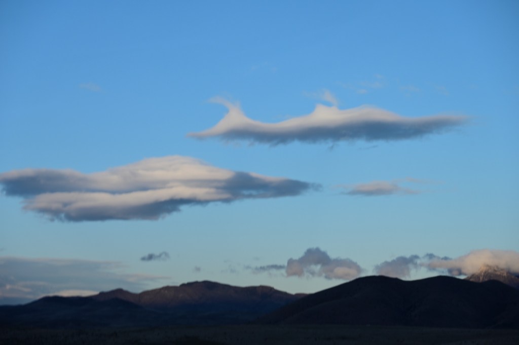
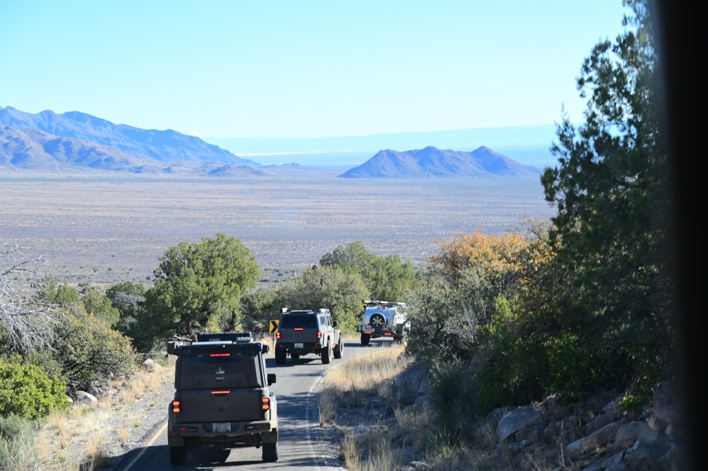
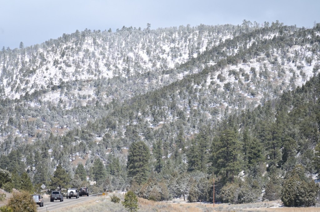
Our first day on the trail we were not able to get ahead of the major storm system. It was beautiful country even in a downpour. We just accepted that our first two days were going to be wet.
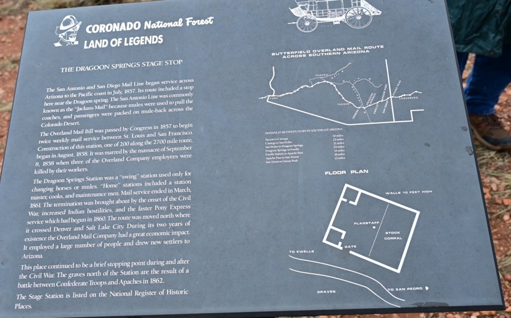
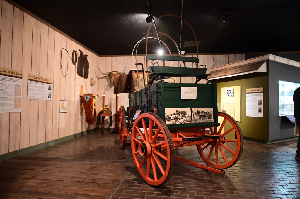
In 1857, John Butterfield, after being awarded a government mail contract, constructed a stagecoach route that came to be known as the Butterfield Trail, between St. Louis and San Francisco. The route crossed southern Arizona, and stagecoach stations were constructed every twenty miles or so along the route, taking advantage of dependable water sources when possible.
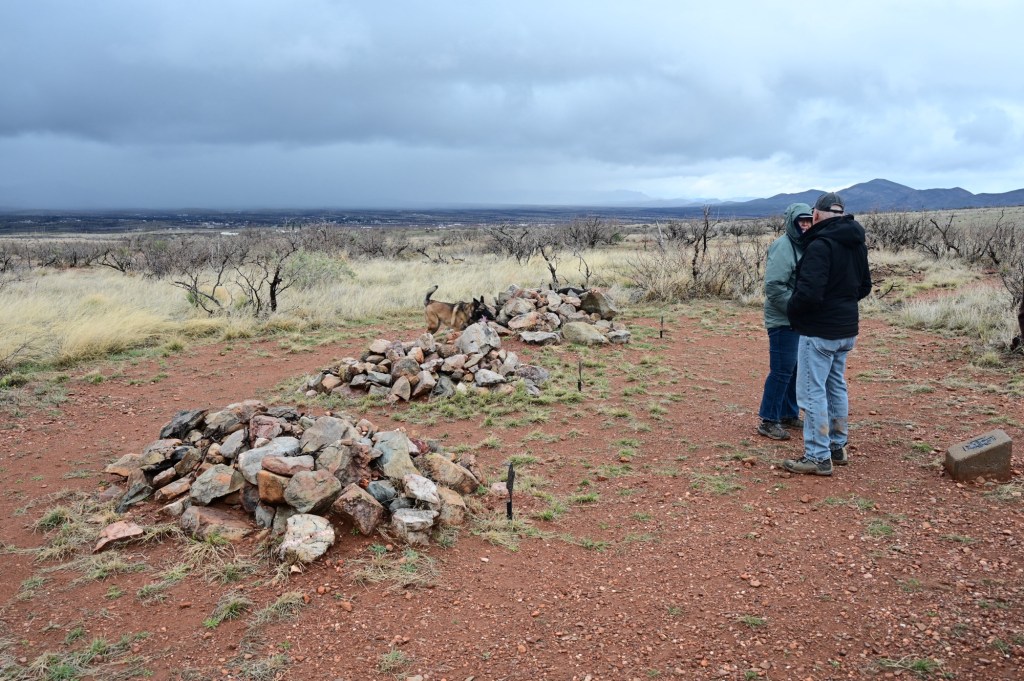
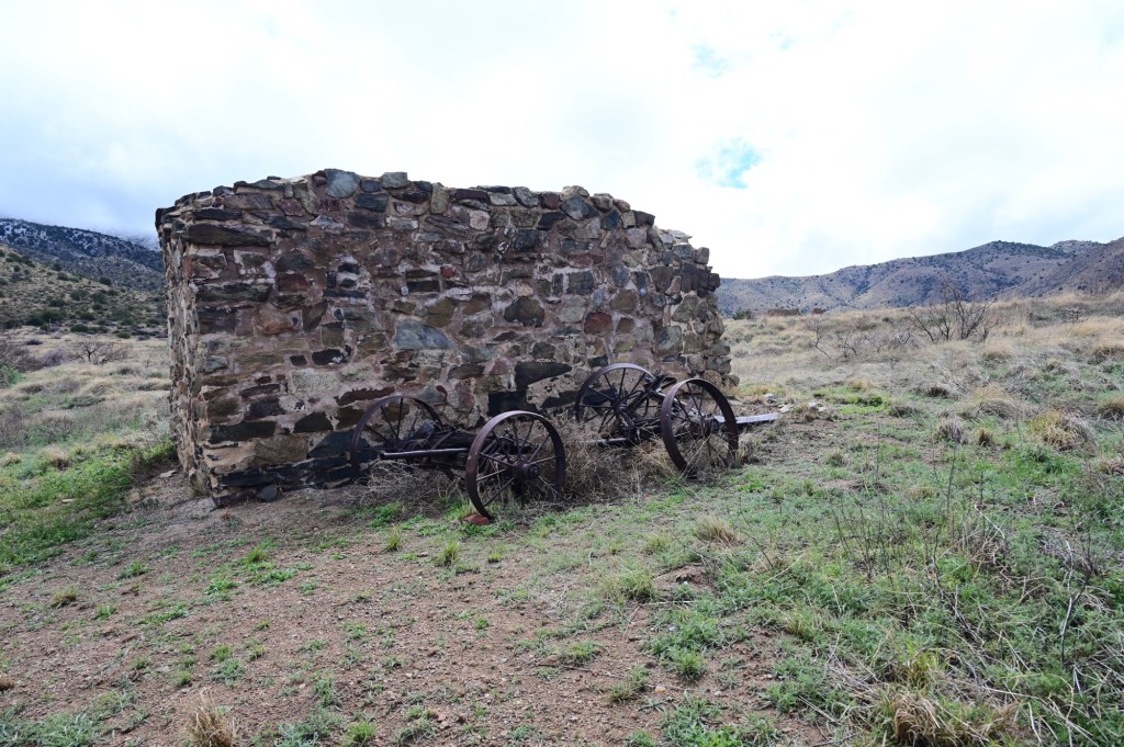
Dragoon Springs was one of these sources, and a station was constructed near the springs in August 1858. The heavily fortified station consisted of a 3 foot thick, 10 foot high stone wall, 45 feet by 55 feet enclosing the site, with two small rooms inside the enclosure. The stock was corralled within the walls.
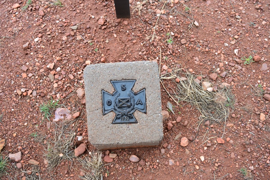
A Confederate Army foraging party gathering stray cattle was attacked at Dragoon Springs on May 5, 1862, by Apaches under Cochise and Francisco’s command. Four Confederate soldiers were killed and buried at the stage station. Their graves can be seen today.
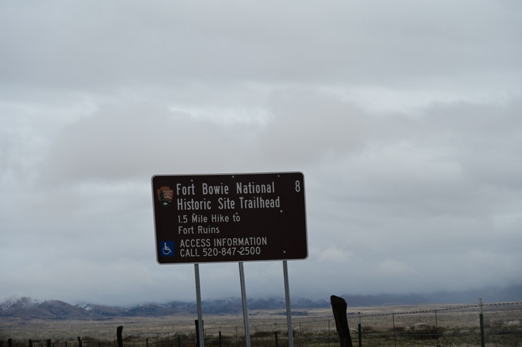
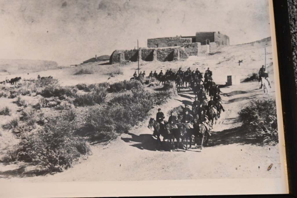
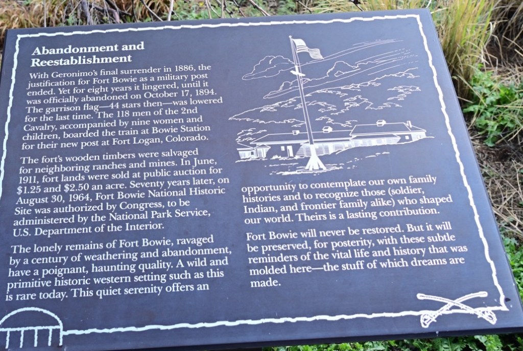
Fort Bowie
Between its establishment in 1862, and the end of the Indian Wars in 1886, Fort Bowie was the center of US military operations against Cochise’s Chiricahua warriors and later Geronimo’s band of Apache warriors.
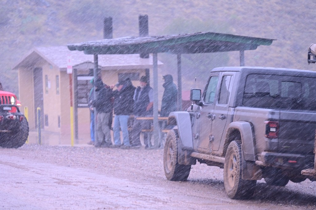
Run for cover!Not much leftActual historic photo at the little museumAhhhhhh. That’s better! The sunshine was short lived though. April Fools!This monster was chasing us all the way to the City of Rocks.
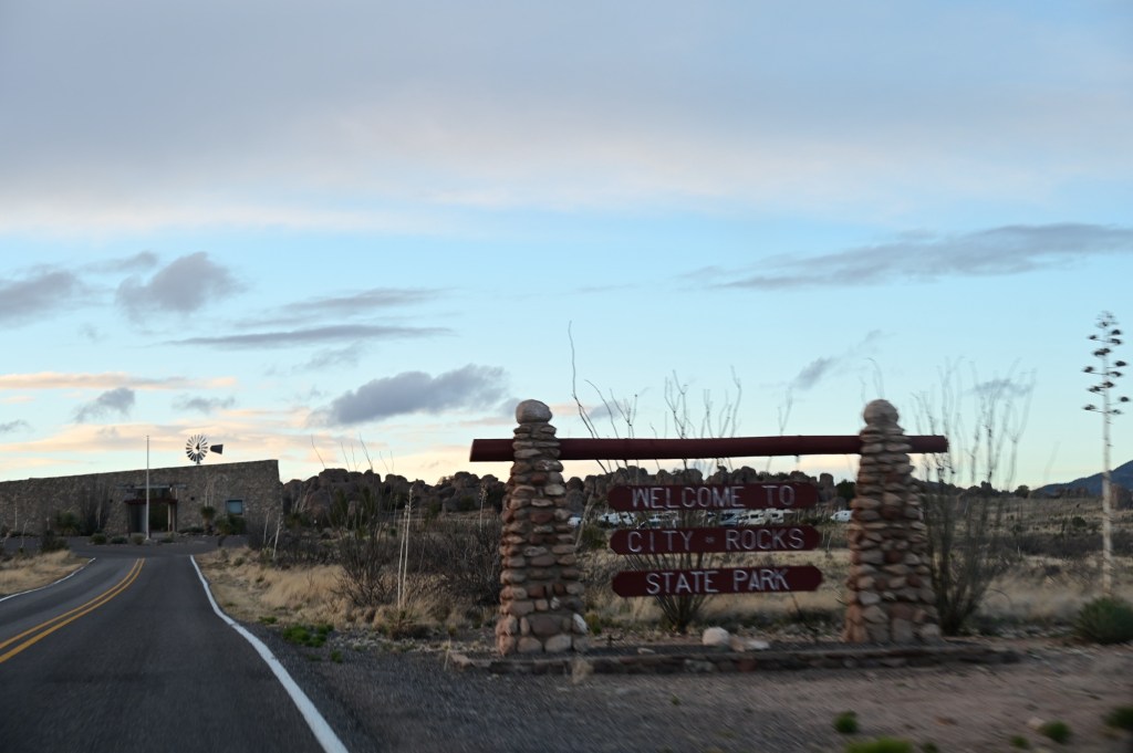
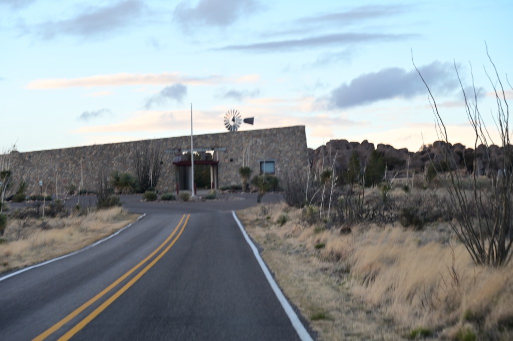
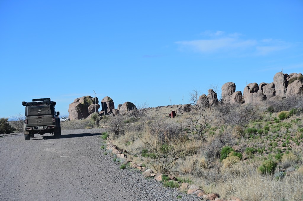
City of Rocks
It really is a City of Rocks!
The park encompasses a one square mile area in the scenic Chihuahuan desert region of southwestern New Mexico at an elevation of 5,200 feet. The “city” is a geologic formation made up of large, sculptured rock columns, or pinnacles, rising as high as 40 feet and separated by paths or lanes resembling city streets. These rocks were formed about 34.9 million years ago when a very large volcano erupted. Then, erosion over millions of years slowly formed the sculptured columns seen today, creating a stunning, otherworldly landscape.
We had a large group site. It is a really unique camping environment among the rocks. The park system did an amazing job creating this campground.
Nice big group camp site
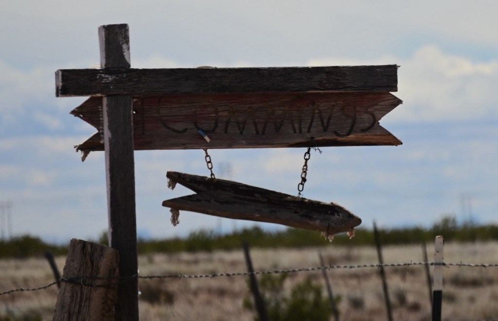
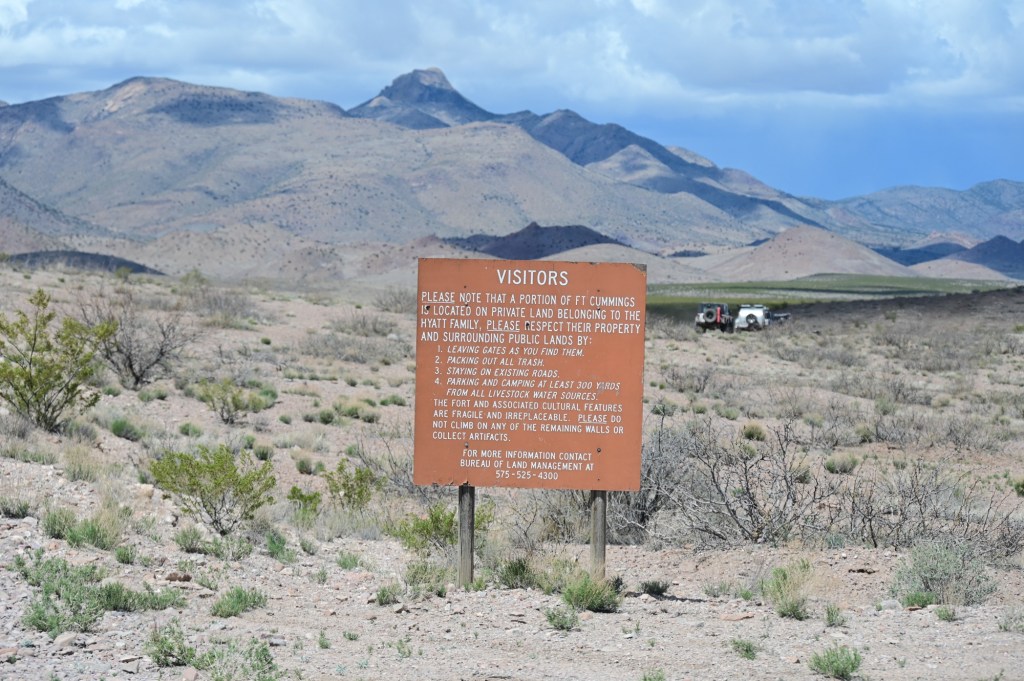
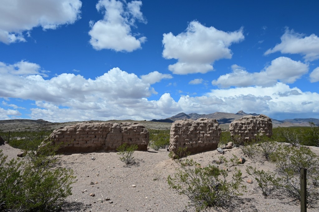
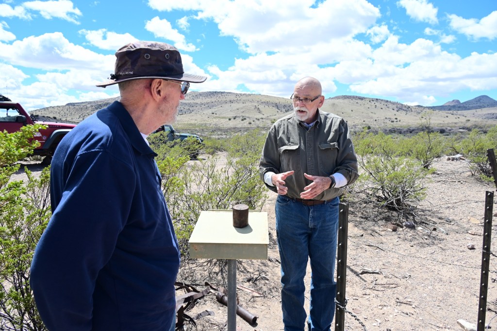
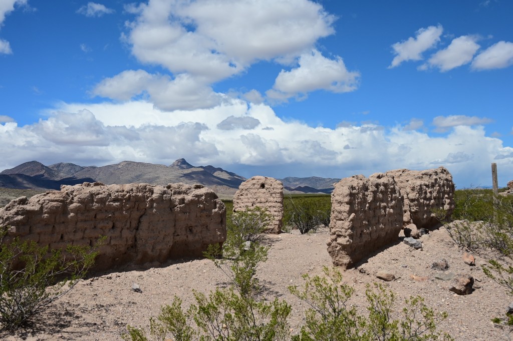
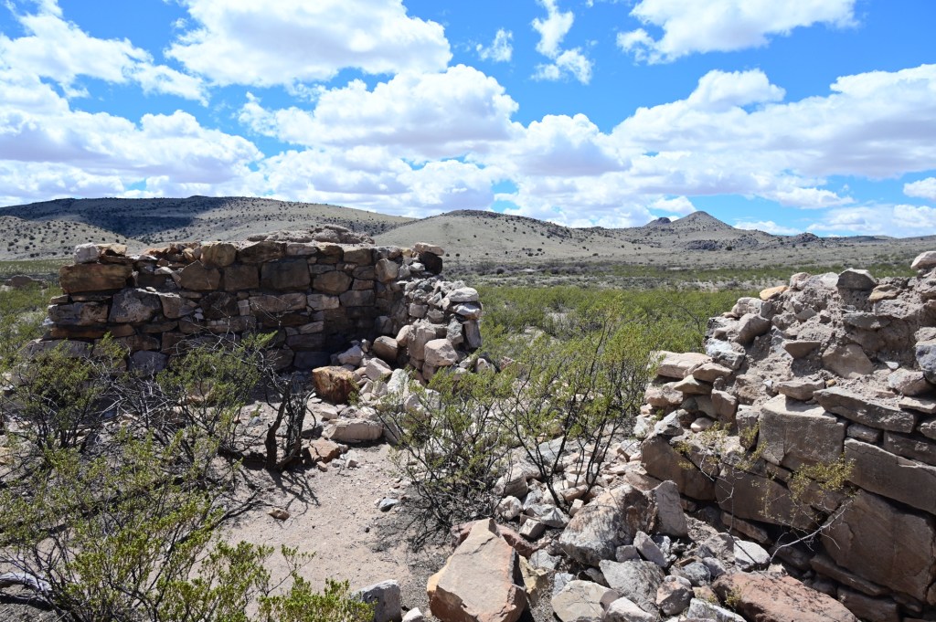
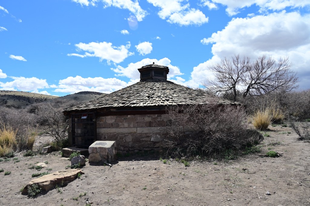
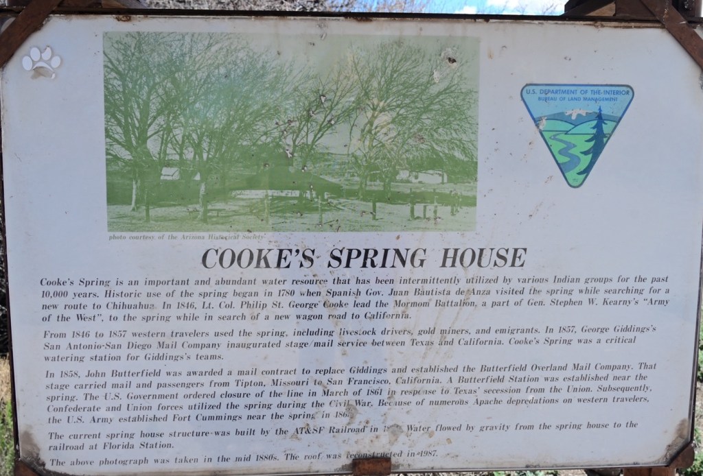
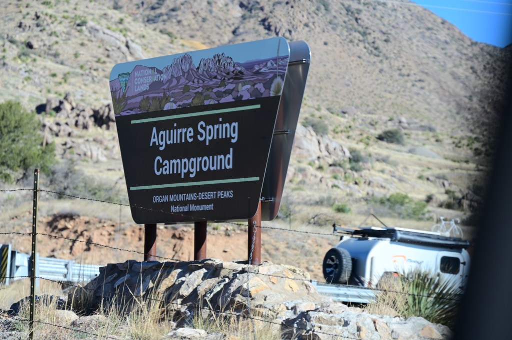
April 2, Tuesday- Fort Cummings, Hatch Chile (powder), Fort Seldon, Aguirre Springs Camp Ground
Sometimes we just miss the turn…,The sign was easy to miss.Clear sky’s for a few minutes!
We followed the available portions of the Butterfield Trail for a stop at the fort.
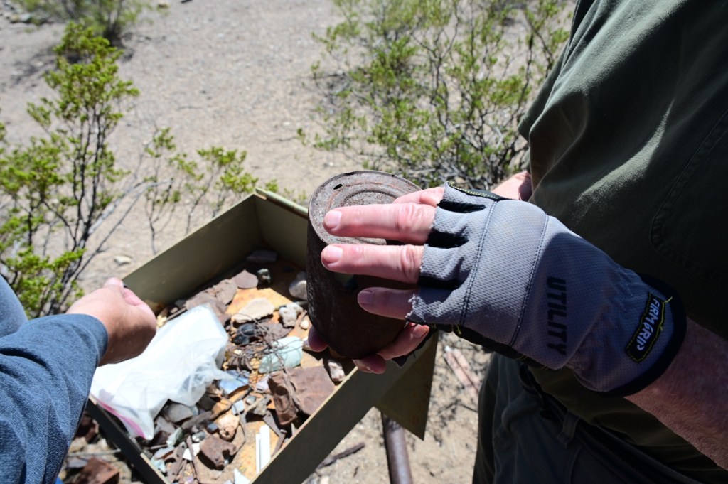
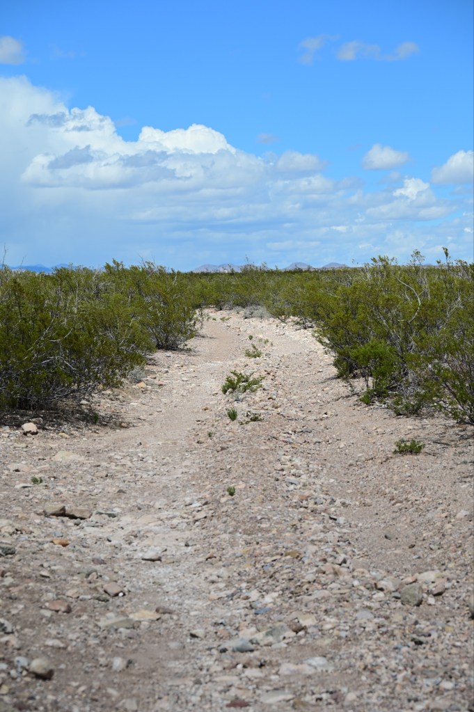
A permanent collection box for items found on site. The spring house. This water source was crucial.Nice!The are miles of the tracks of the old Butterfield Trail still useable in this area.
In search of Hatch Chile Powder
Authentic Hatch chiles are grown in the Hatch Valley of New Mexico (hence their name!) and are a wildly popular spicy pepper. They are most common in the Southwest. I thought hatch chiles were a specific type of chile, but I was wrong. Hatch really just refers to where these chiles are grown. We can’t leave without the goods!
No chile powder here….,I think we’re getting closer. And we also must be getting closer to Roswell, New Mexico. Things are getting weird. We found the chile powder, back on the road.
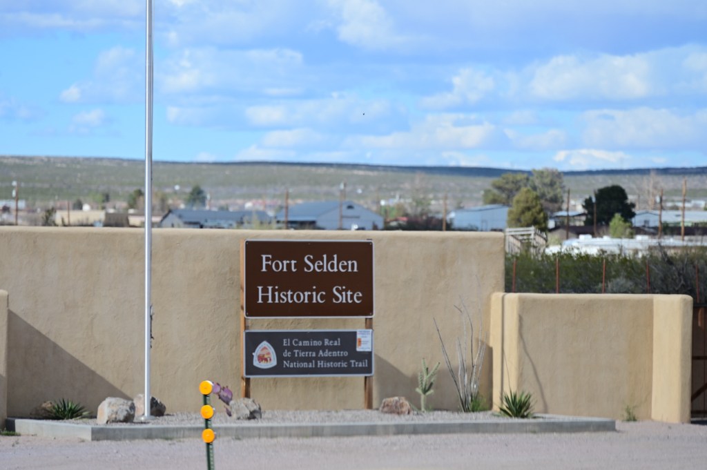
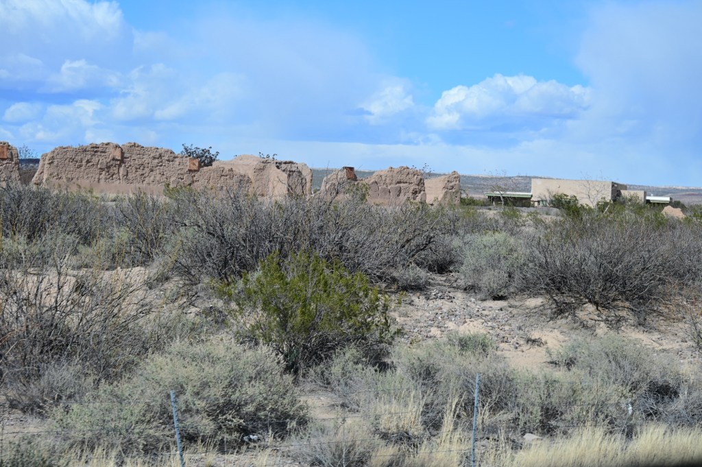
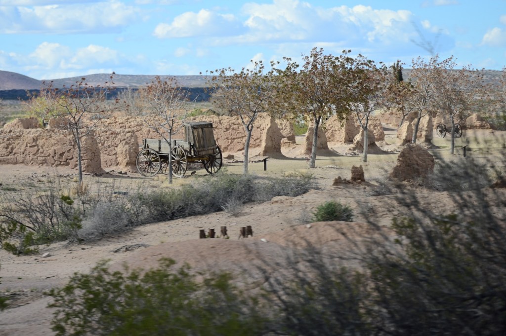
Fort Seldon
Fort Selden was established in 1865 in an effort to bring peace to south central New Mexico Territory. Built on the banks of the Rio Grande, this adobe fort housed units of the US Army’s infantry and cavalry. Their intent was to protect settlers and travelers in the Mesilla Valley and along El Camino Real from desperados and Apache Indians. The fort remained active until 1891.
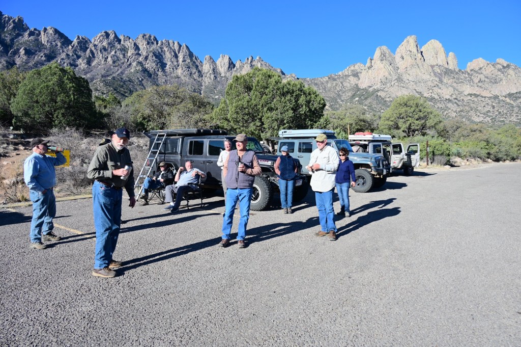
Aguirre Spring Campground
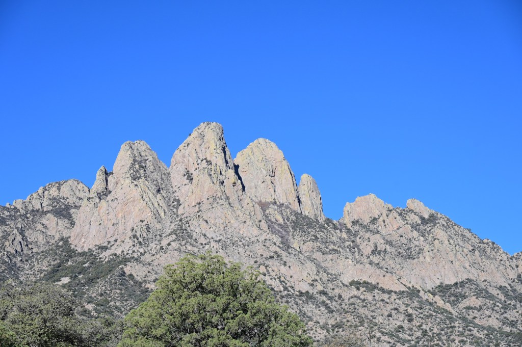
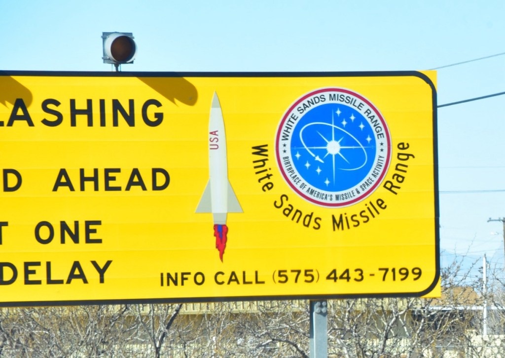
This was a really stunning drive up into the Organ Mountains to the camp ground. The views were beautiful, overlooking the Tularosa Basin and the White Sands National Park and Missile Range.
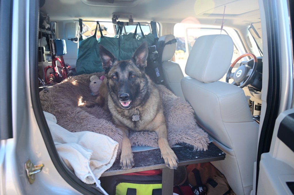
At the group site which was a large sort of level parking lot. You can’t beat the views or the camp fees. $3.50 per vehicle?Pepper Easley, a very good girl!
April 3, Wednesday – White Sands National Park, Roswell
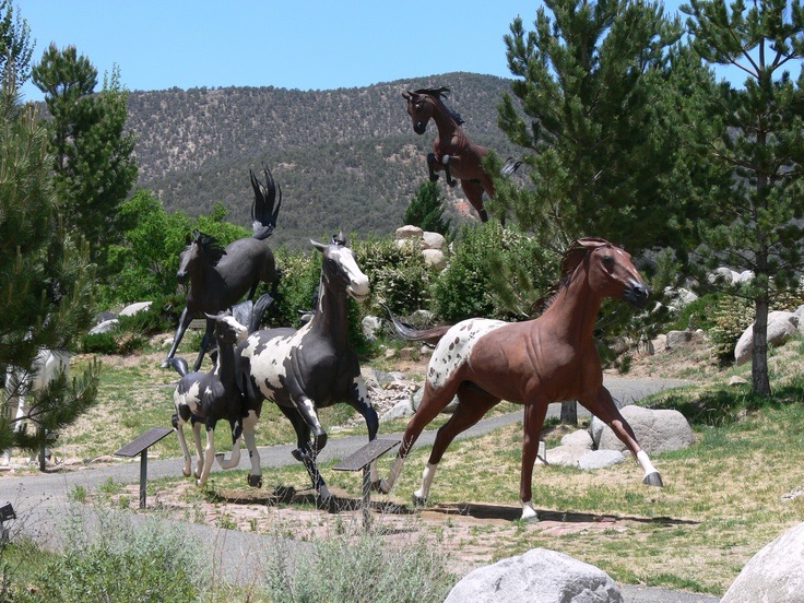
Beautiful views on the way out. The only thing that would have made this stay better is if we could have witnessed a missile launch from the Missile site below. Darn. But the stars were amazing.Share the road.We were just passing through Ruidoso, but it’s always fun to see the amazing horse statues all throughout the town.
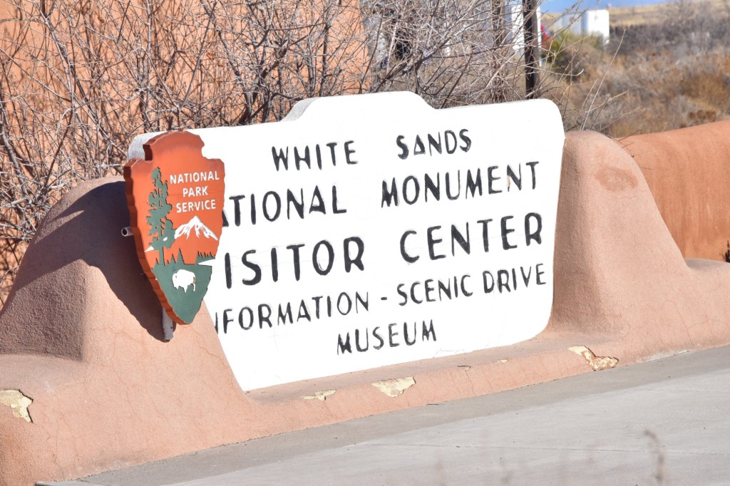
White Sands National Park
White Sands was on our itinerary. We stopped at the visitor center but the place was mobbed with an unusual amount of tourists for this time of year. It seems that many made the stop on the way to witness the total eclipse on April 8th.
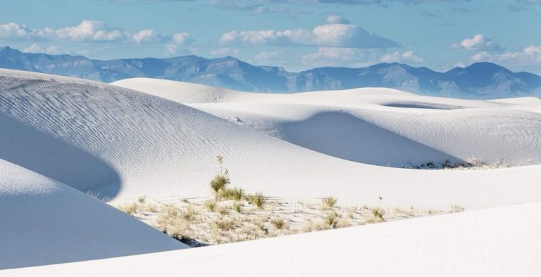
What we were hoping see today. (Photo from the park website)
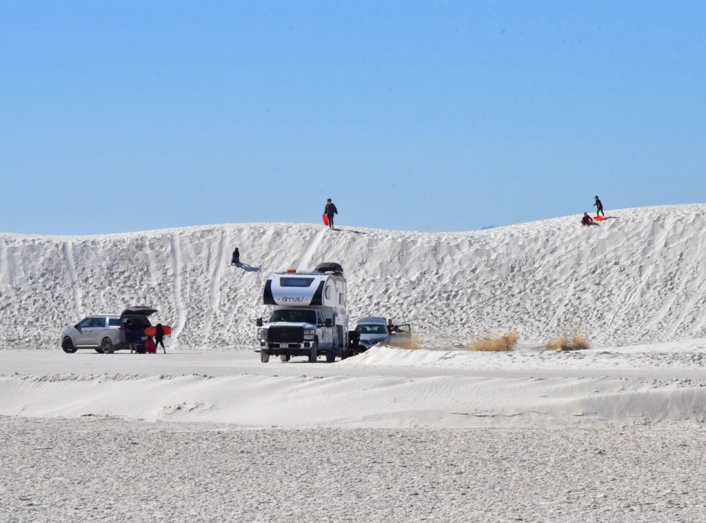
What was happening all over the park with record crowds. Yes, the park does welcome sledding! It’s amazing that a slight wind will quickly remove any trace of human activity. All footprints and tire tracks magically disappear.
There was no place for 10+ jeeps to park and going on into the park would have been chaotic, and the traffic on the loop through the park was moving at a snails pace. The decision was made for our group to just move on.
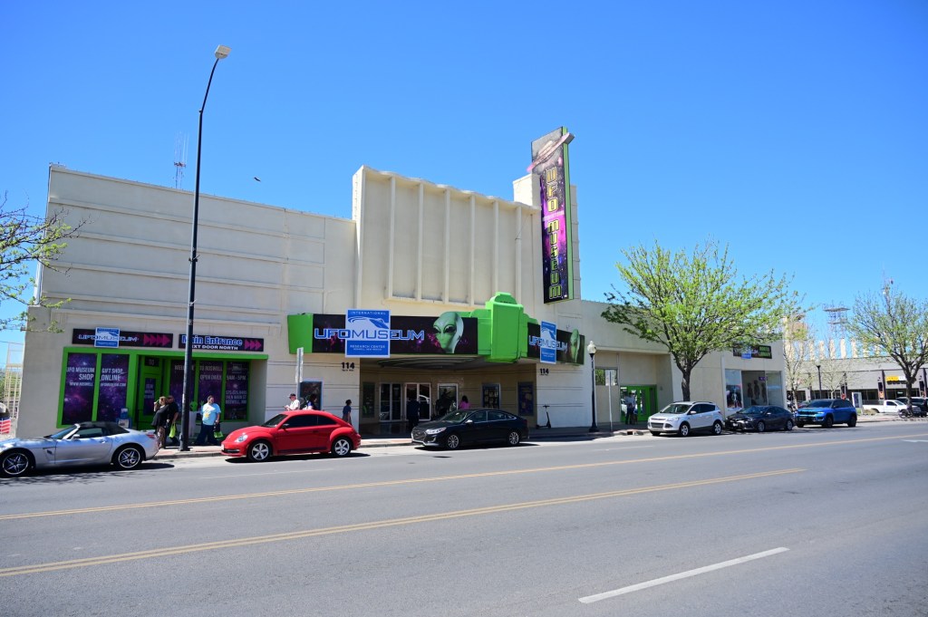
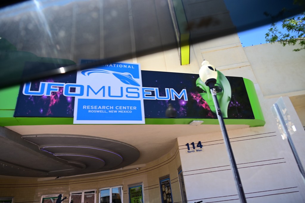
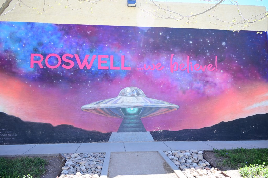
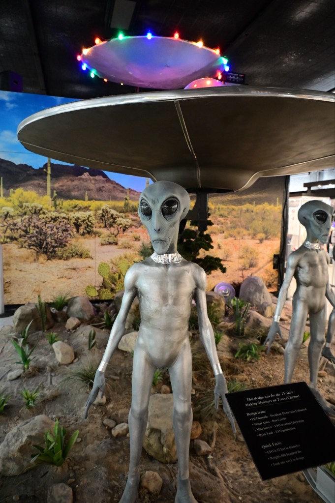
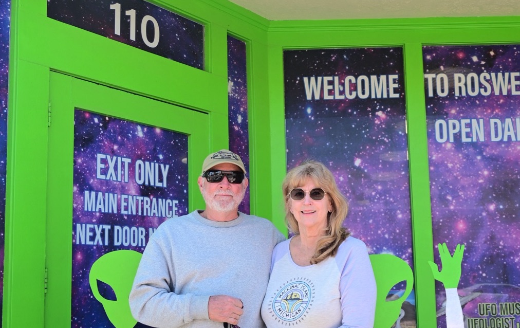
Roswell, New Mexico
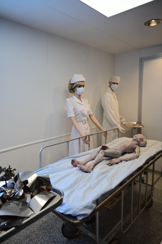
Known mostly through myths about aliens and UFOs, there’s more to Roswell than mystery and innuendo. Of course a visit to Roswell would not be complete without a stop at the International UFO Museum and Research Center, where you can find out what really happened when “something” crashed near Roswell in 1947, or maybe not…….
Believe? HmmmmmmOk……“Sierra Bob” made it to Roswell!“Tin Shanty” made it to Roswell. 🤔 Not sure we believe…
I wish I had more photos from Roswell, but the group seemed to have disappeared and were more interested in finding lunch than solving the alien mystery. We intended to do a group shot here, and I even toyed with photoshopping our lineup in front of the museum. The building was just a little underwhelming.
We also had a scare with one of the group taking a fall resulting in a ride to the hospital to be checked out, and thankfully then able to return to continue on with the trip.
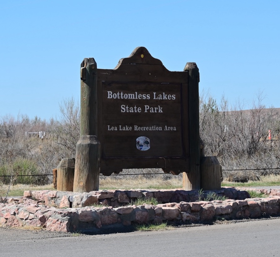
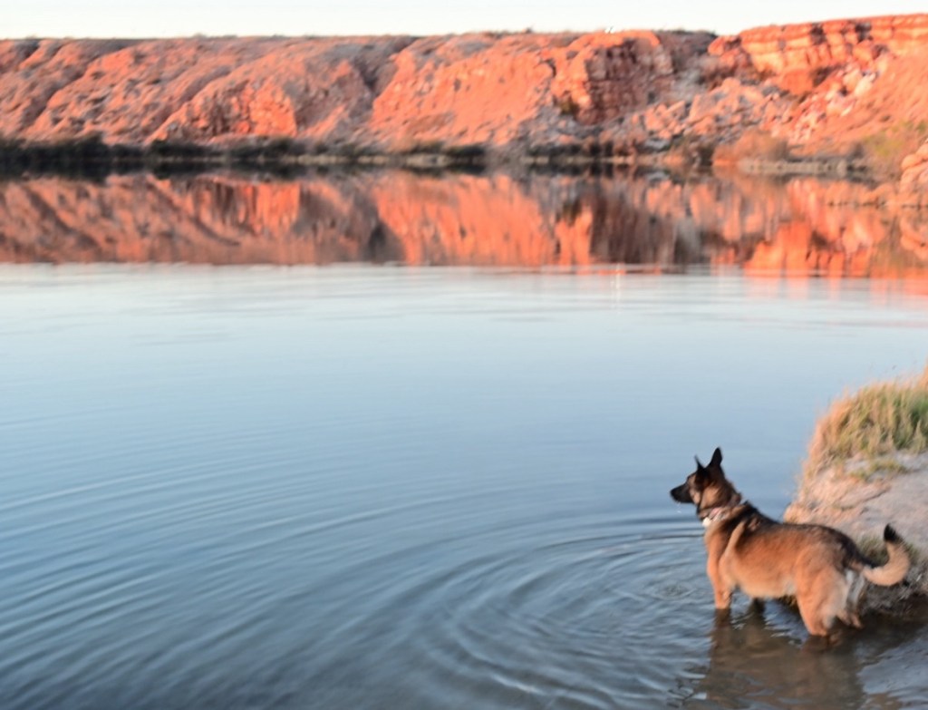
Bottomless Lakes State Park
The lakes aren’t really bottomless but the campground was lovely. And we had lukewarm showers!
Lotti Da likes to stand on the bottom of the bottomless lake.Pop up privacy tents are quick and easy. Hang on, the wind can be crazy, especially when you’re inside of one of these!“Flatlander” knows how to relax, he’s from Nebraska.I was freezing and “Shrimpboat” was in shorts! This was one day where the sun did warm us up a bit.
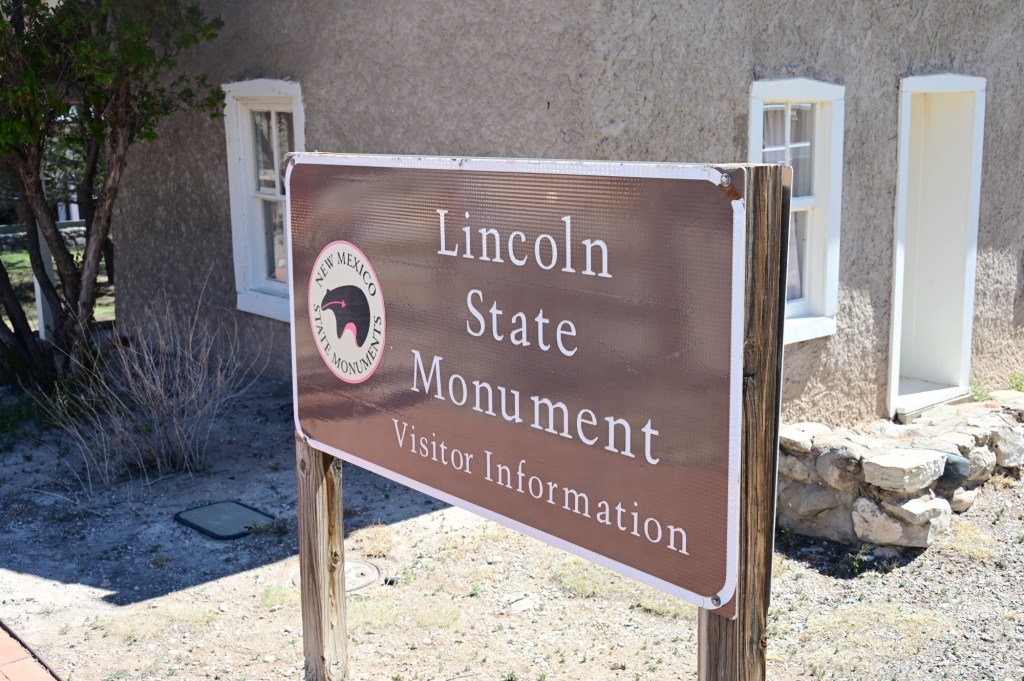
April 4, Thursday – Lincoln State Monument, Smokey the Bear, Fort Stanton, Valley of Fires Camp Ground
Let’s get a group shot!
We were already down from our starting number as some had to head for home, better late than never! Taken into the sun by a nice young jeeper enthusiast. It turned out ok! What a group!
Why would the aliens want to land here? It’s a whole lotta nothin.I seem to have picked up a hitchhiker. The necessary evil
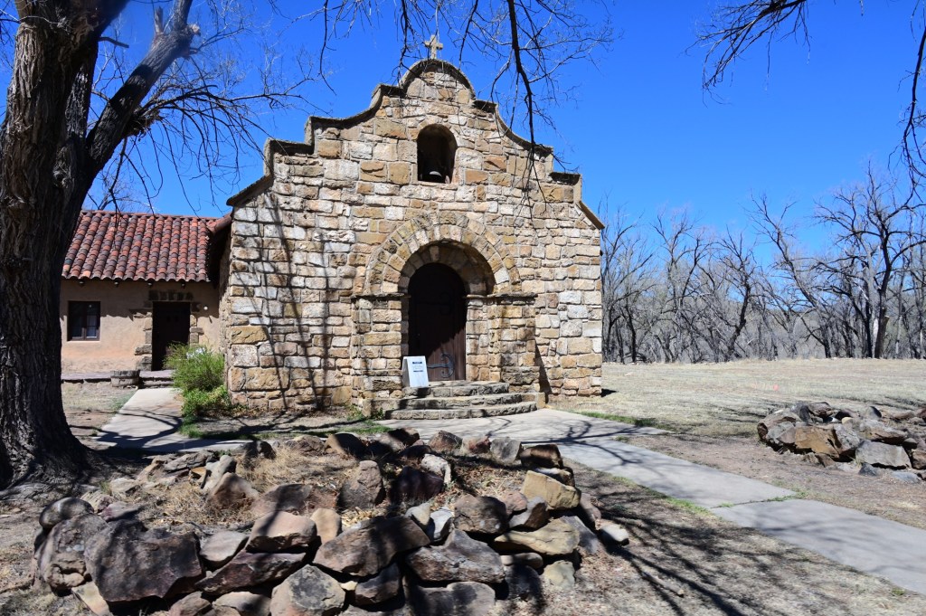
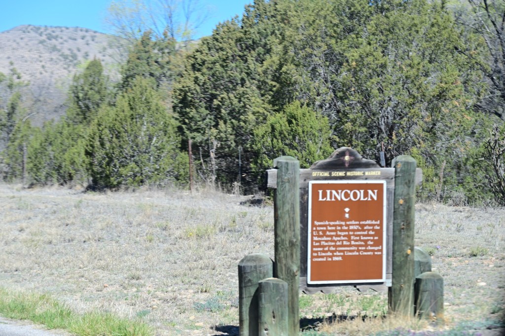
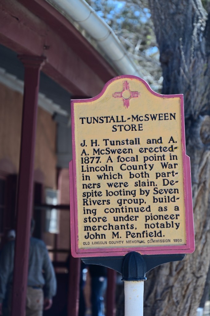
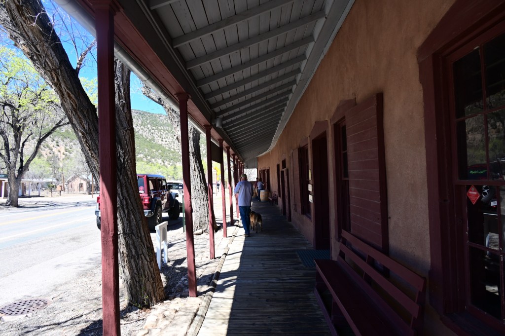
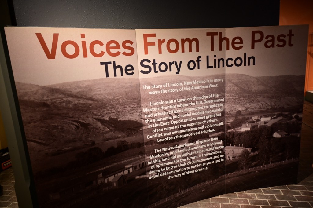
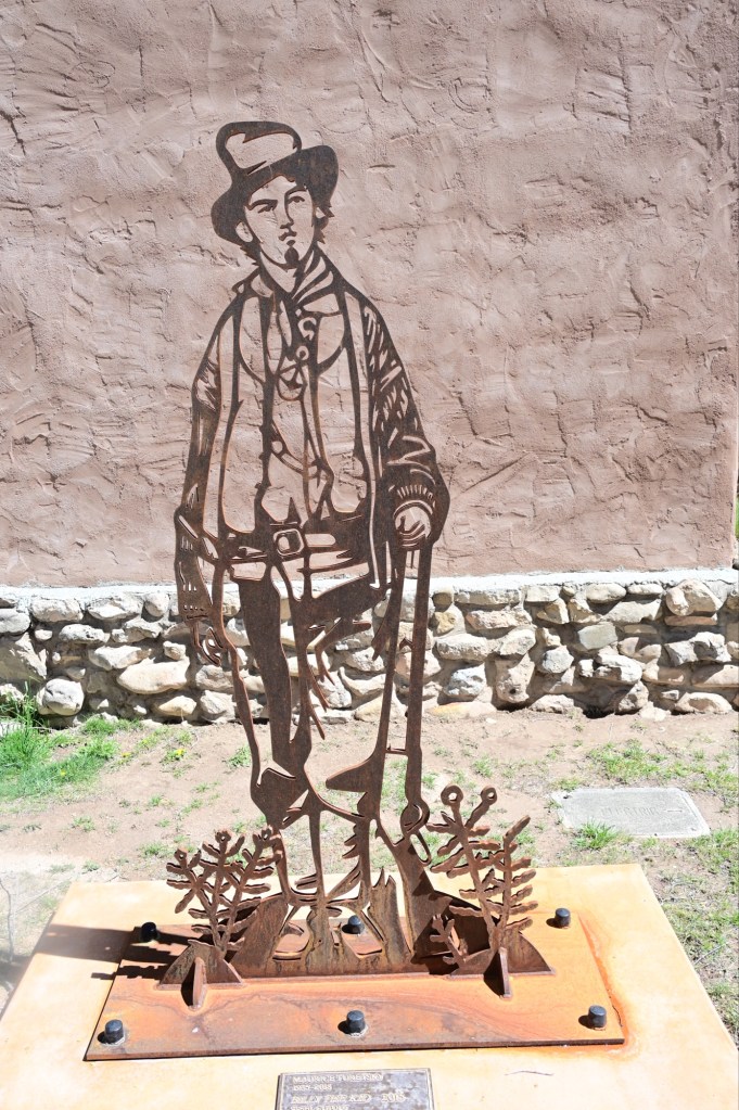
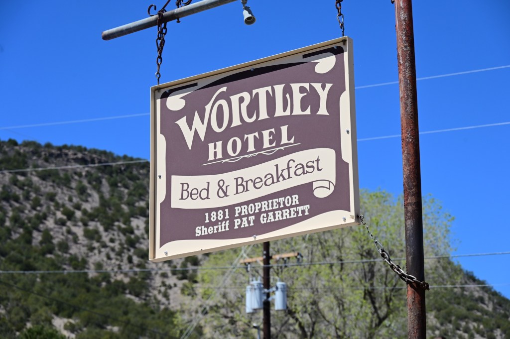
Lincoln State Monument, Billy the Kid
Lincoln was made famous by the Lincoln County War (1878–1881), one of the most violent periods in New Mexico history. It was then that Billy the Kid forever etched his legend into American history and memory as he escaped the local courthouse, killed two deputies, and rode out of town on a stolen horse. Other famous and infamous Wild West characters populated the town’s only street, later declared “the most dangerous street in America” by President Rutherford B. Hayes.
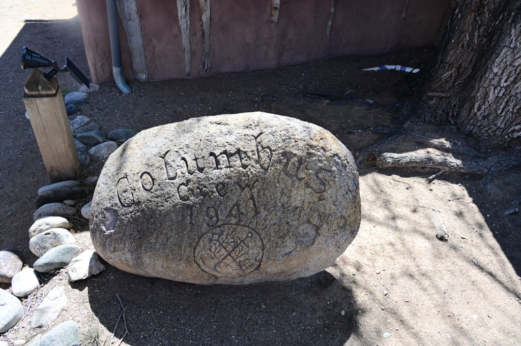
Billy the KidA beautiful rock carving left as a gift by the German prisoners of war detained in the area in 1941. They were very appreciative of the way the U.S. treated prisoners during the war.
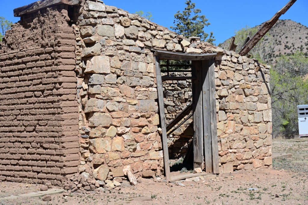
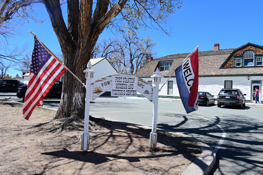
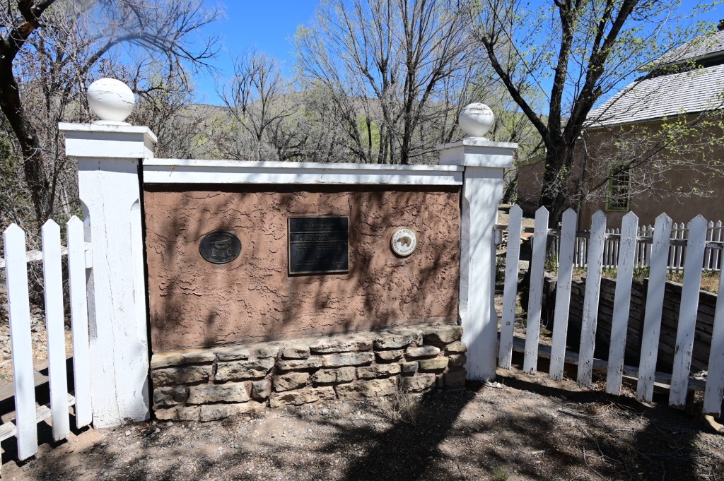
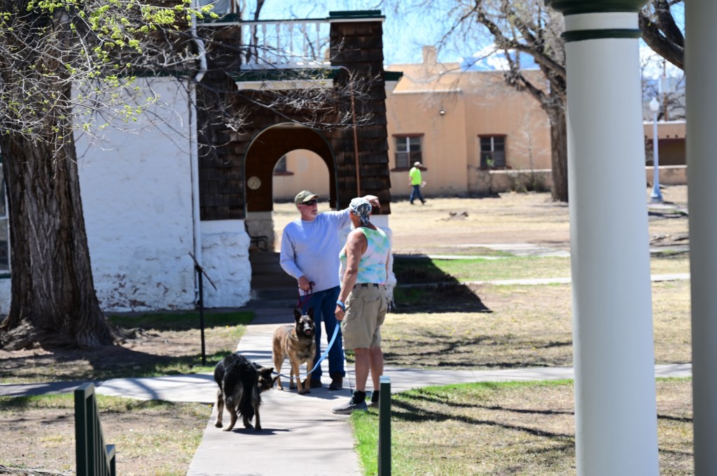
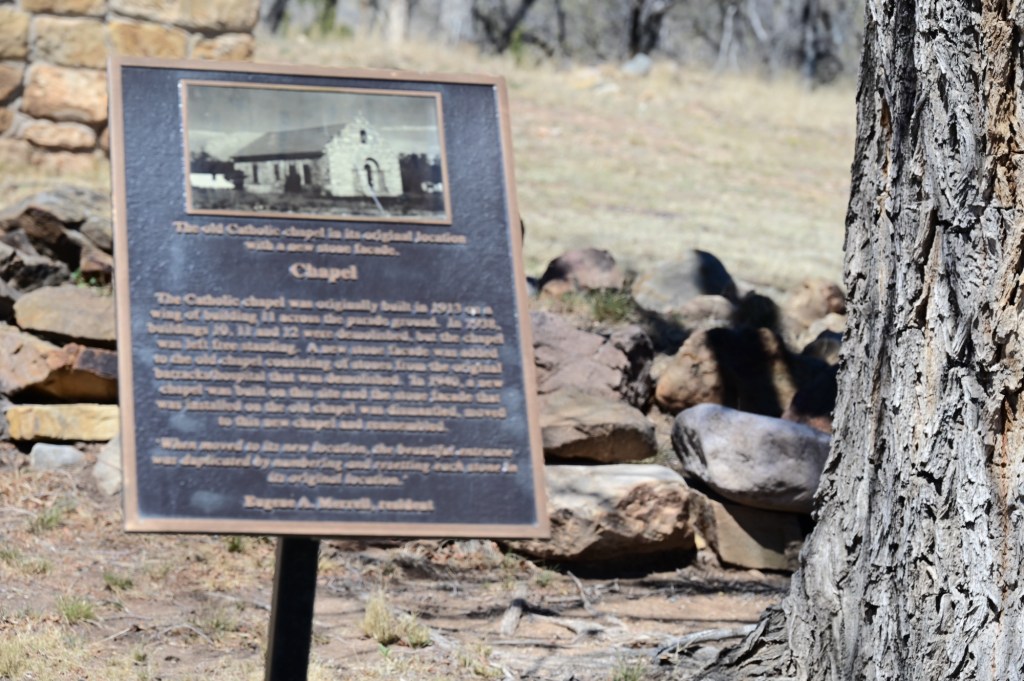
Fort Stanton
Established in 1855 as a military post to control the Mescalero Apache Indians, Fort Stanton may be one of the most intact 19th century military forts in all of America today. In1861, the Fort was abandoned to Confederate forces in the early stages of the American Civil War. The retreating forces tried to burn the fort, but a rainstorm extinguished the fire. The Confederates completed the destruction when they left after only a month’s occupation. The fort returned to the Union fold in 1862, under the command of the legendary Christopher (Kit) Carson.
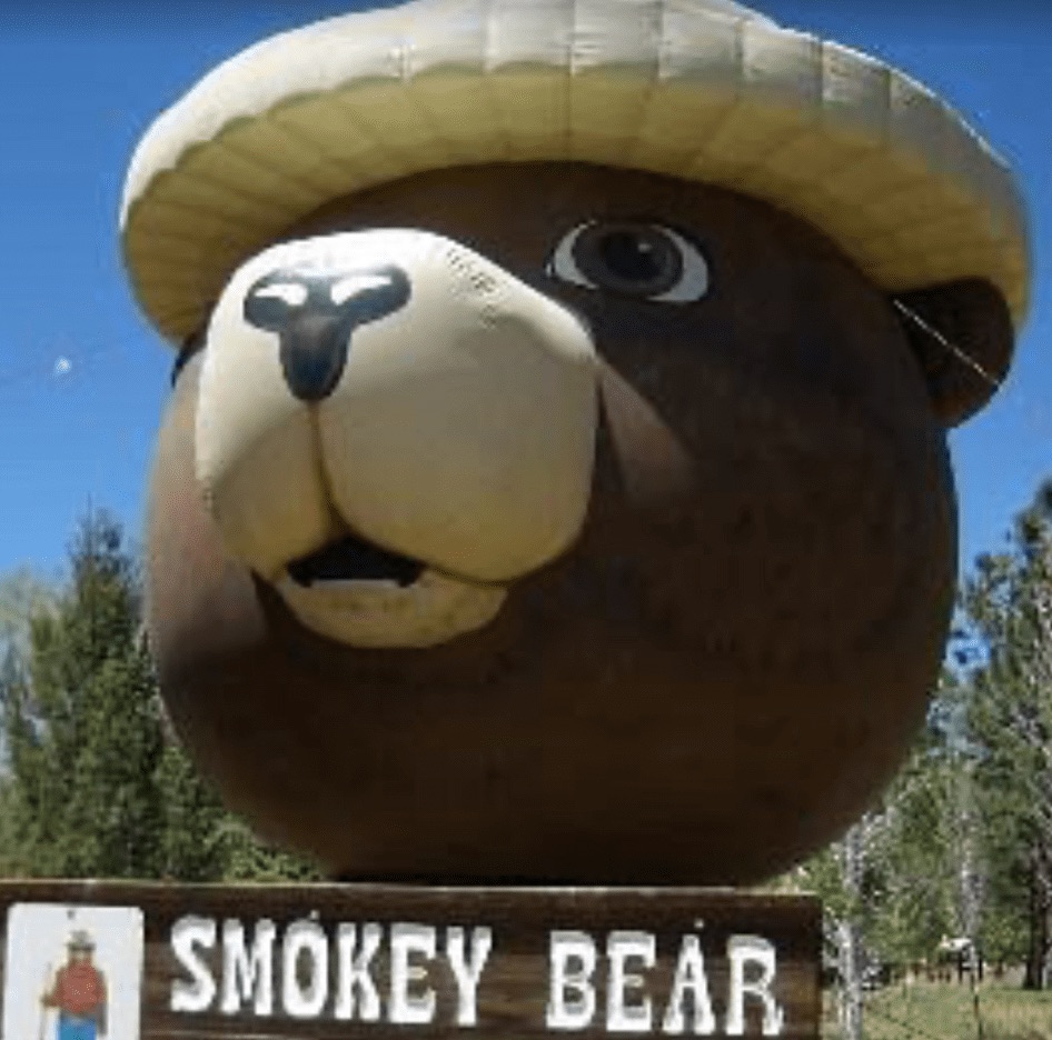
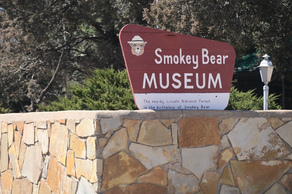
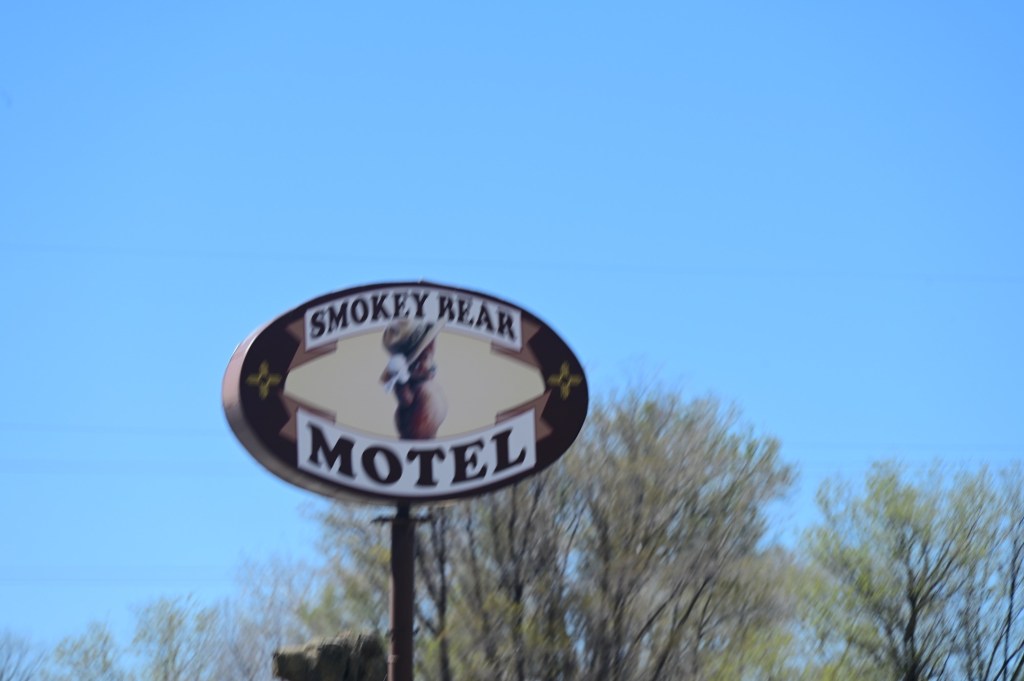
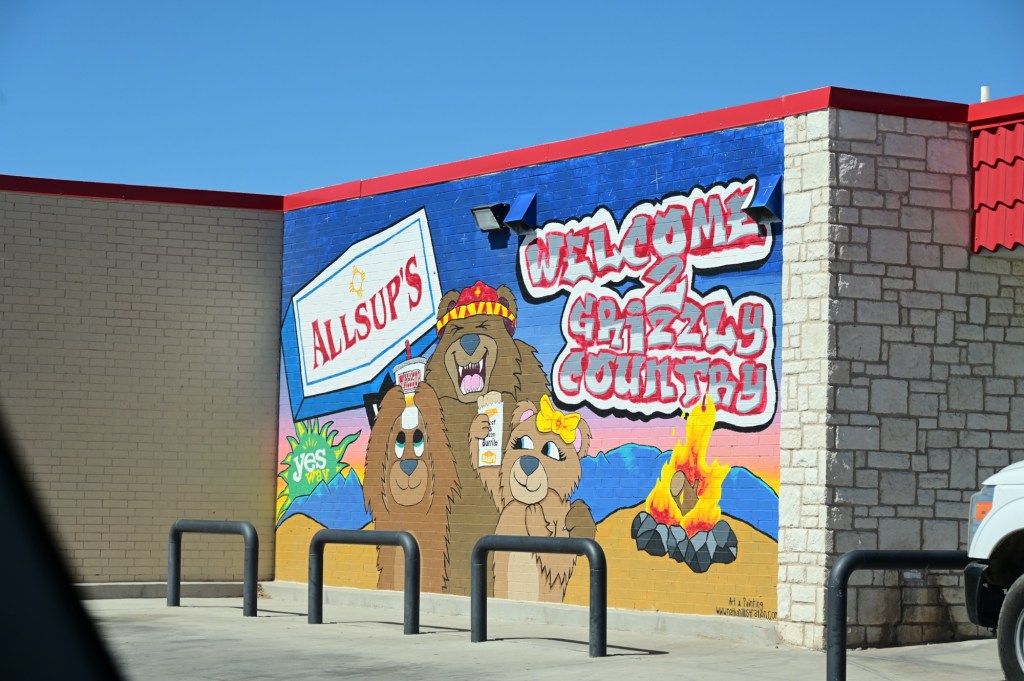
Smokey the Bear
Smokey was a sensation. In 1950, when a black bear cub was rescued from a burning forest in New Mexico, he was named Smokey and sent to Washington, D.C., where he lived at the National Zoo. (The Zoo is celebrating Smokey’s 75th with a special exhibit.) Two years later Steve Nelson and Jack Rollins, the songwriting team behind “Frosty the Snowman,” wrote an ode to Smokey. (Called “Smokey the Bear” to improve the rhythm, it led to decades of confusion over the character’s name.) And by 1964, Smokey was receiving so many letters from children that the post office gave him his own ZIP code; now he has an Instagram account and a Twitter feed, and he’s learned to speak Spanish. Today, the Ad Council estimates that 96 percent of adults recognize him—the sort of ratings usually reserved for Mickey Mouse and the president.
We didn’t stop at the museum. This area definitely has a “bear” theme.
????!!
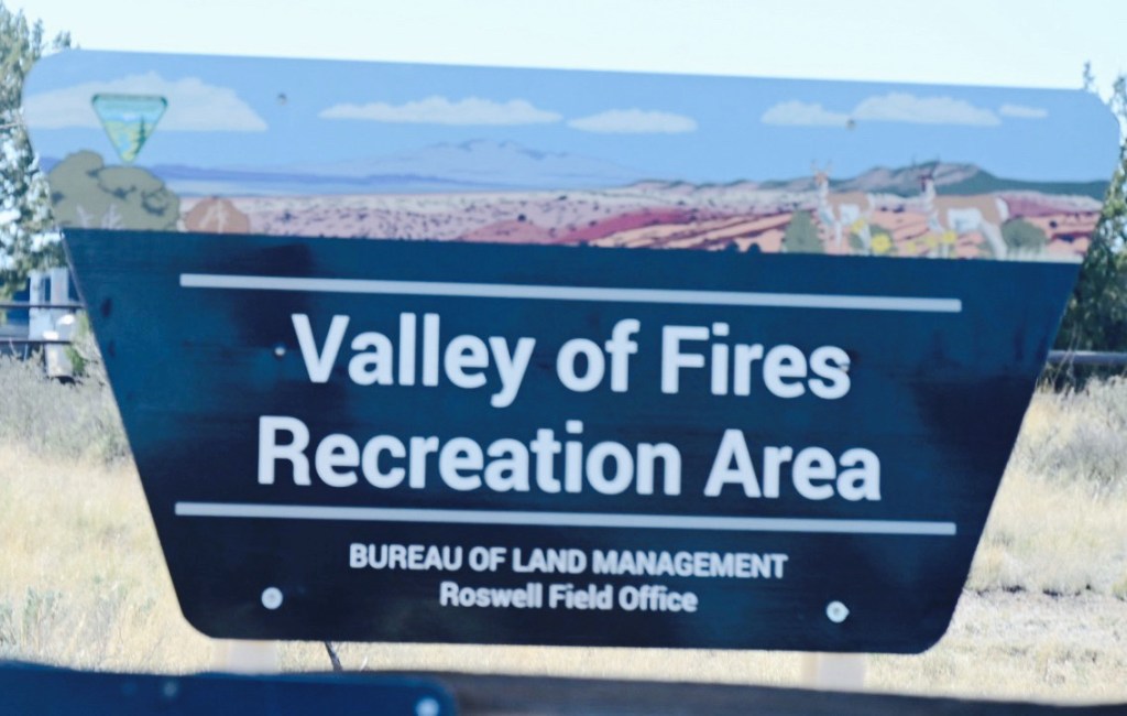
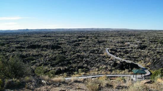
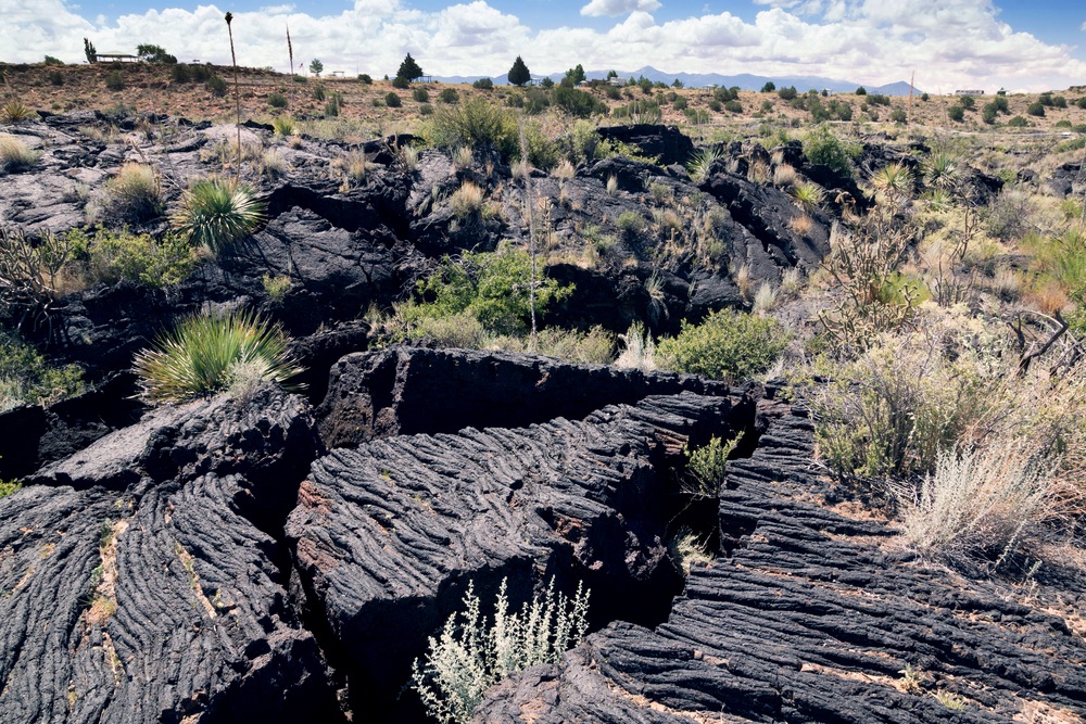
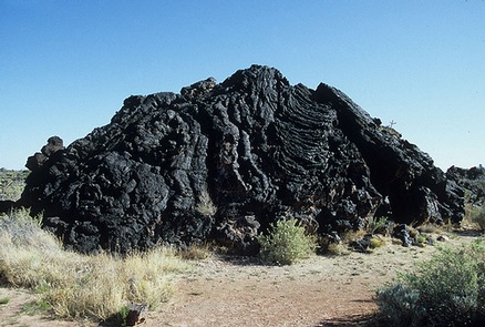
Valley Fires Recreation Area
Valley of Fires recreation area is located immediately adjacent to the Malpais Lava Flow. Approximately 5,000 years ago, Little Black Peak erupted and flowed 44 miles into the Tularosa Basin, filling the basin with molten rock. The resulting lava flow is four to six miles wide, 160 feet thick and covers 125 square miles. The lava flow is considered to be one of the youngest lava flows in the continental United States.
Driving in to the area you have to wonder how they were they able to carve the road through this rough terrain.
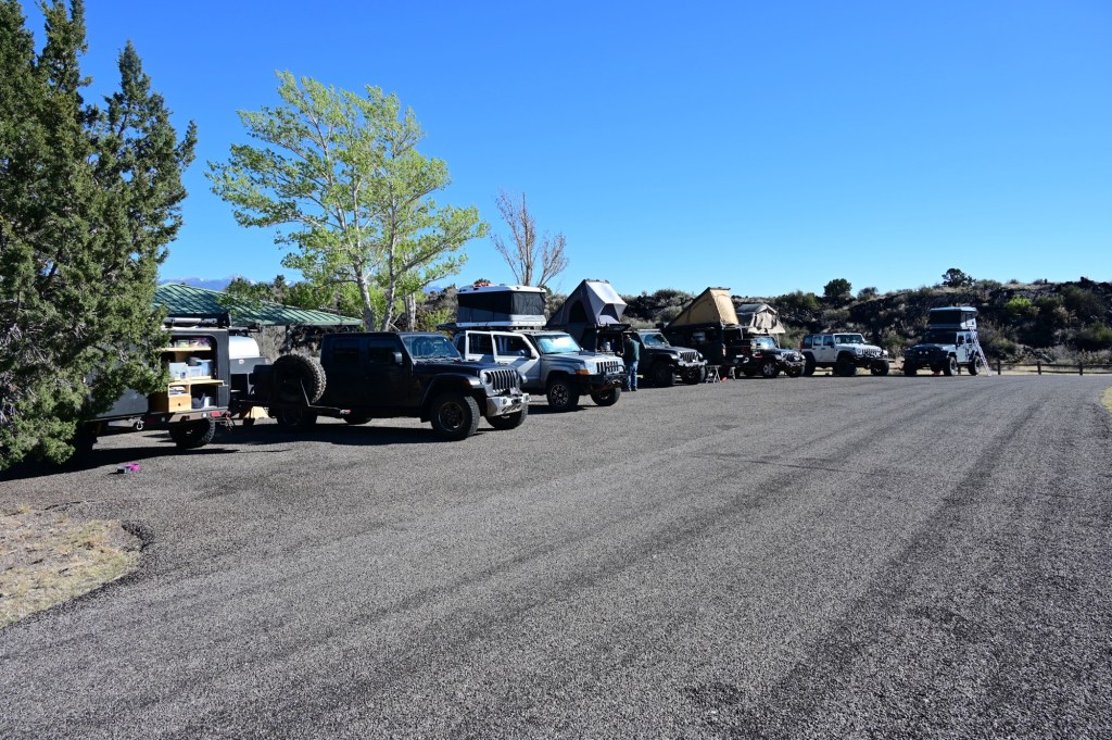
The group site was wide and level. And we had some sun for a bit.
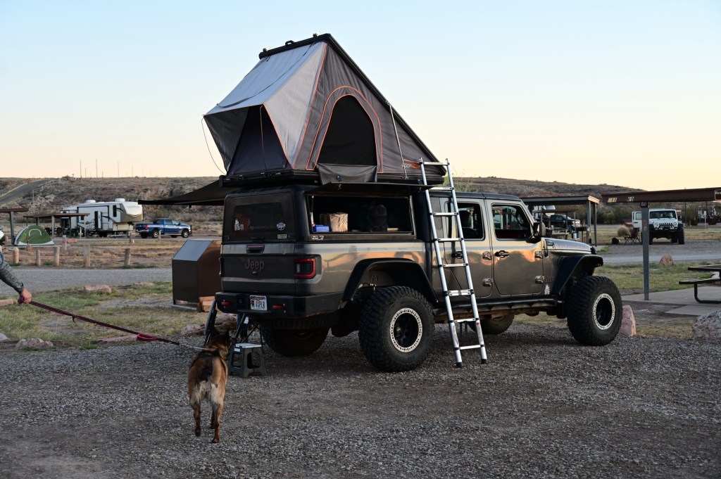
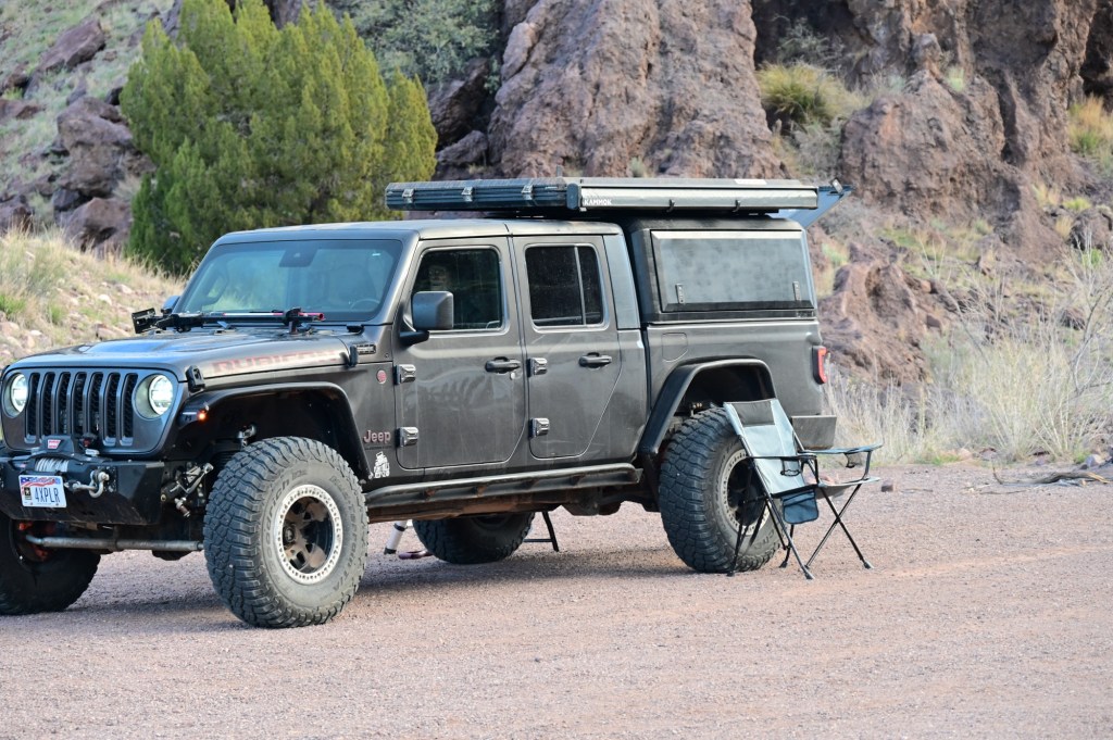
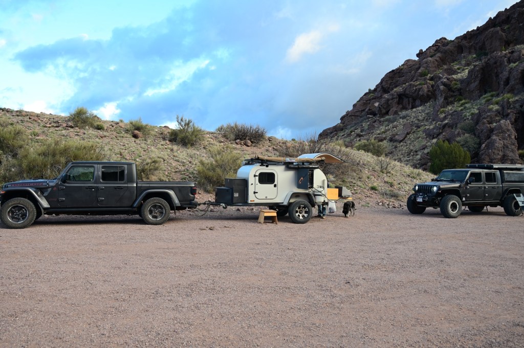
Very nice self contained teardrop. Lotti Da! Good girl! Plans change daily
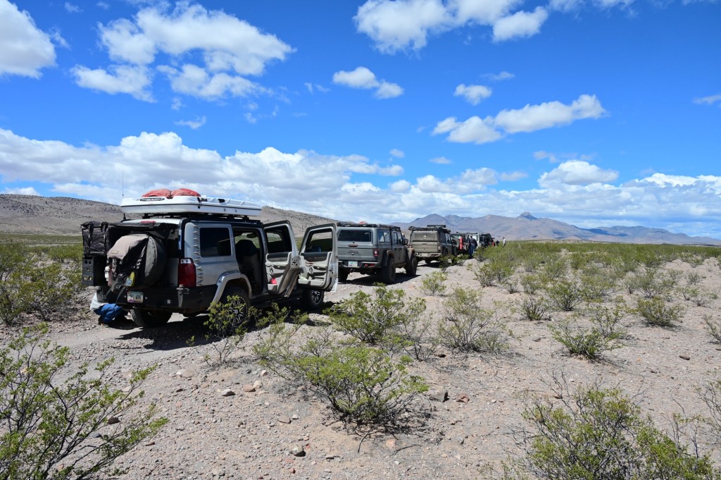
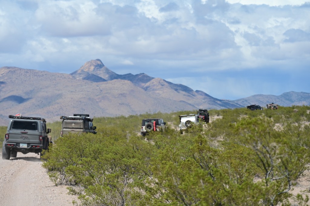
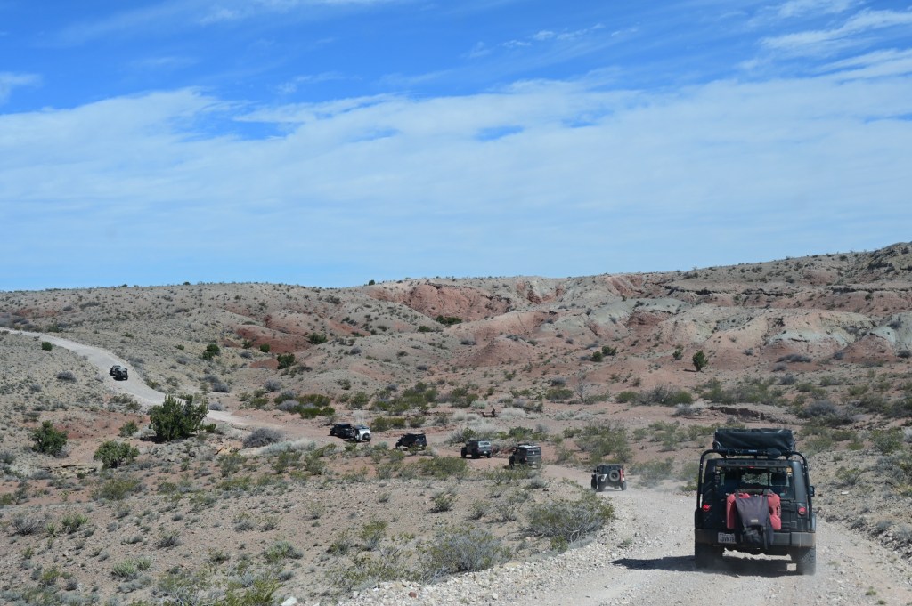
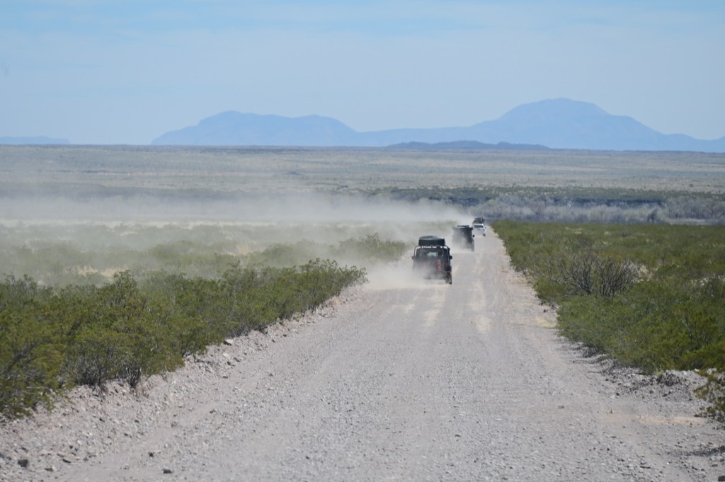
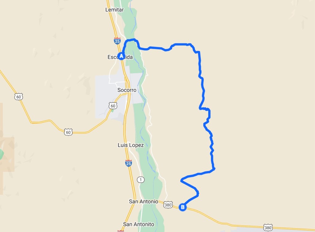
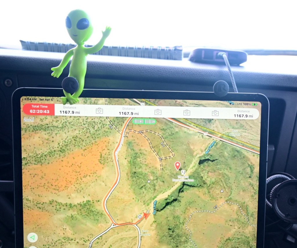
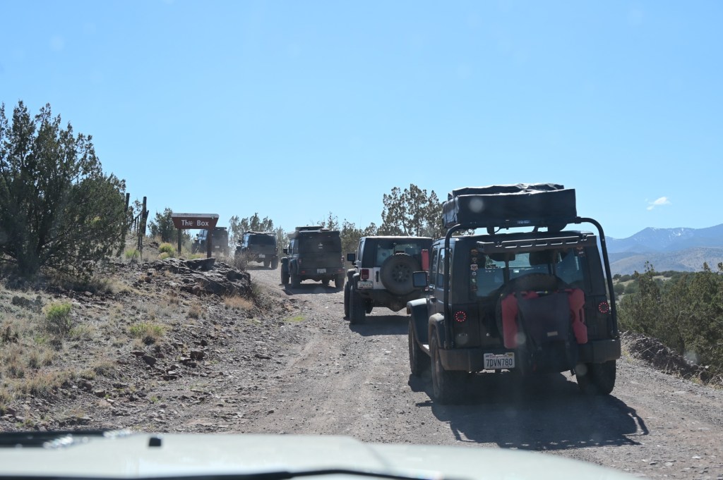
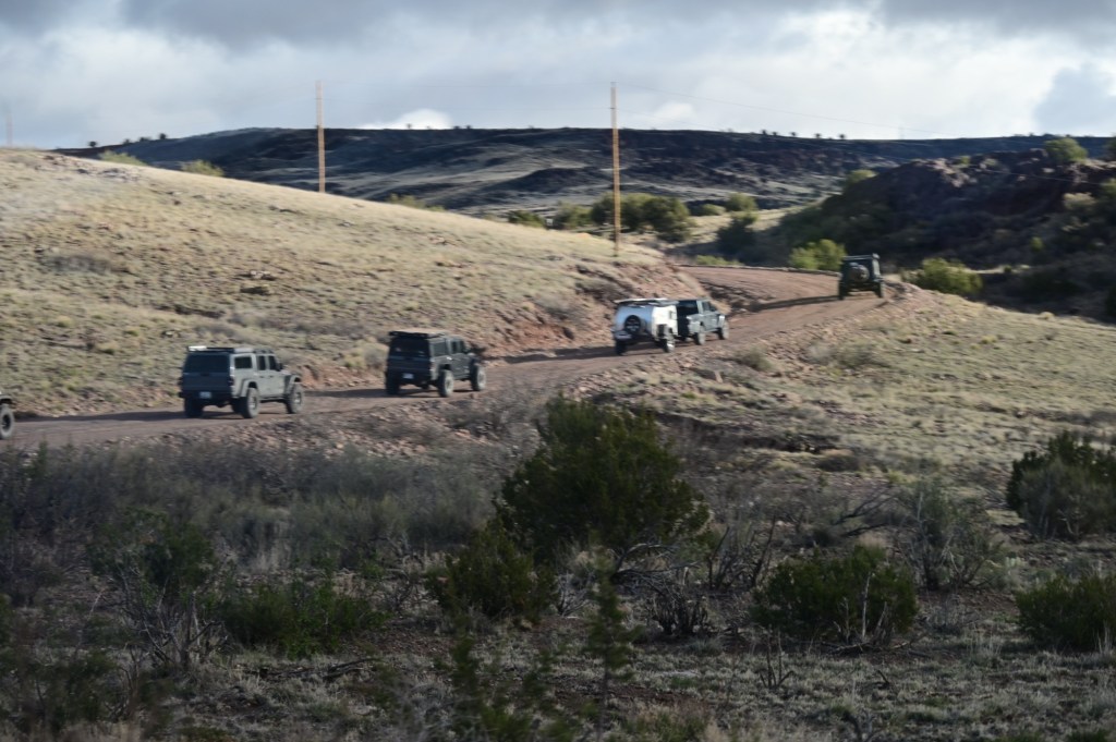
April 6, Friday – Quebradas Back Road Byway, Fort Craig, “The Box” camping
We were in the general area of the Trinity Site. It’s too bad the public can no longer get in. I haven’t seen it yet, but the movie Oppenheimer tells the amazing story.
Quebradas Back Road Byway
The QuebradasBackcountryByway is an unpaved county road traversing about 24 miles of rugged, colorful landscapes east of Socorro. Two National Wildlife Refuges are only a few miles from this Byway – Sevilleta to the north and Bosque del Apache to the south.
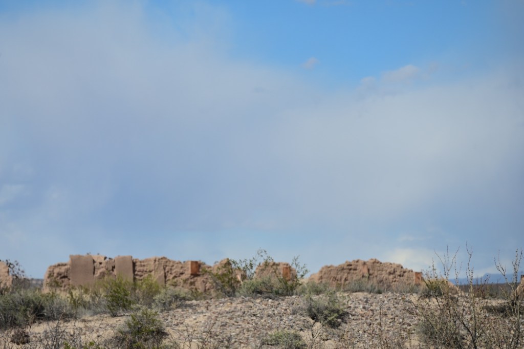
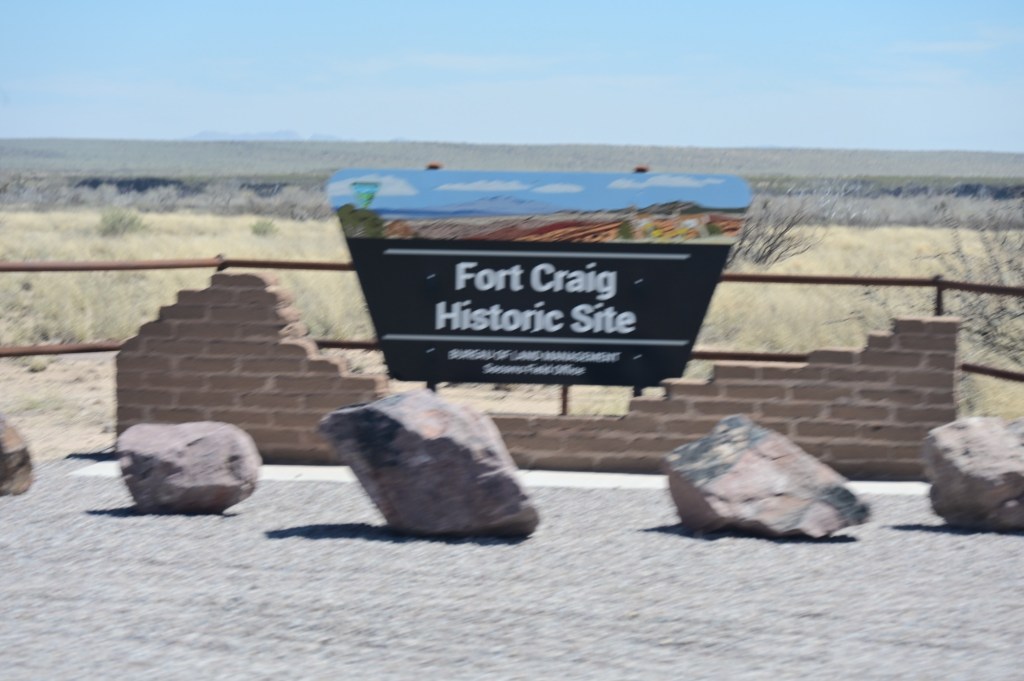
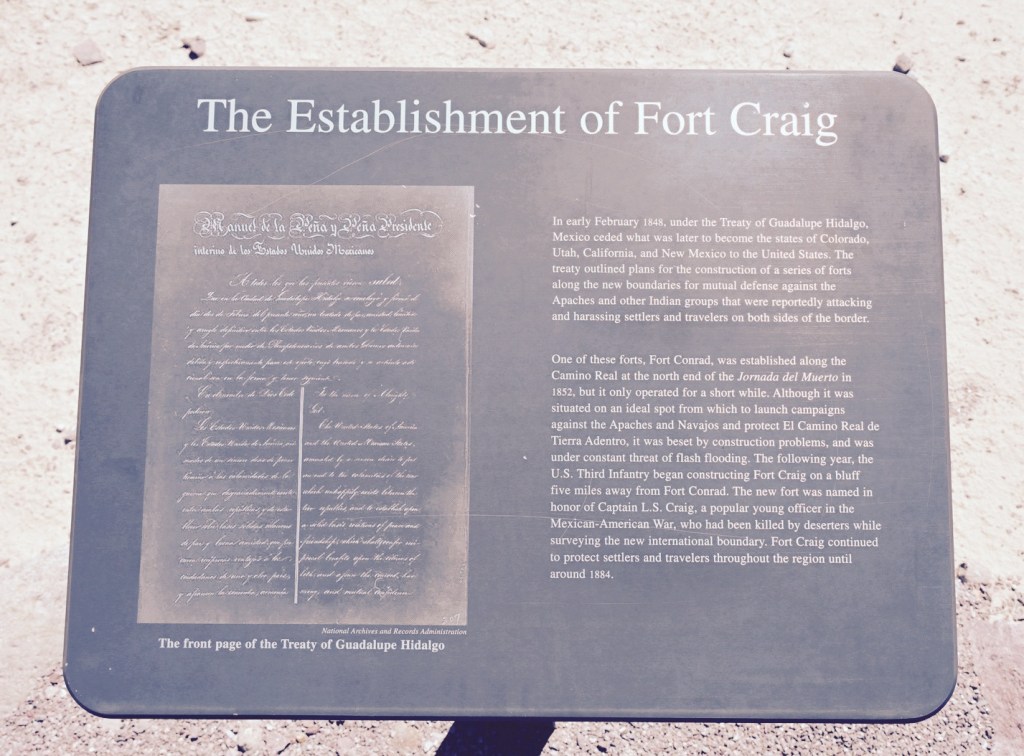
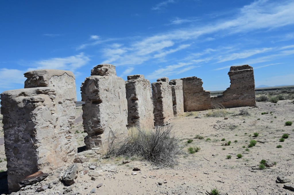
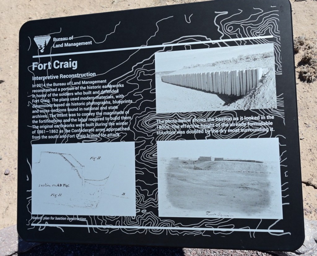
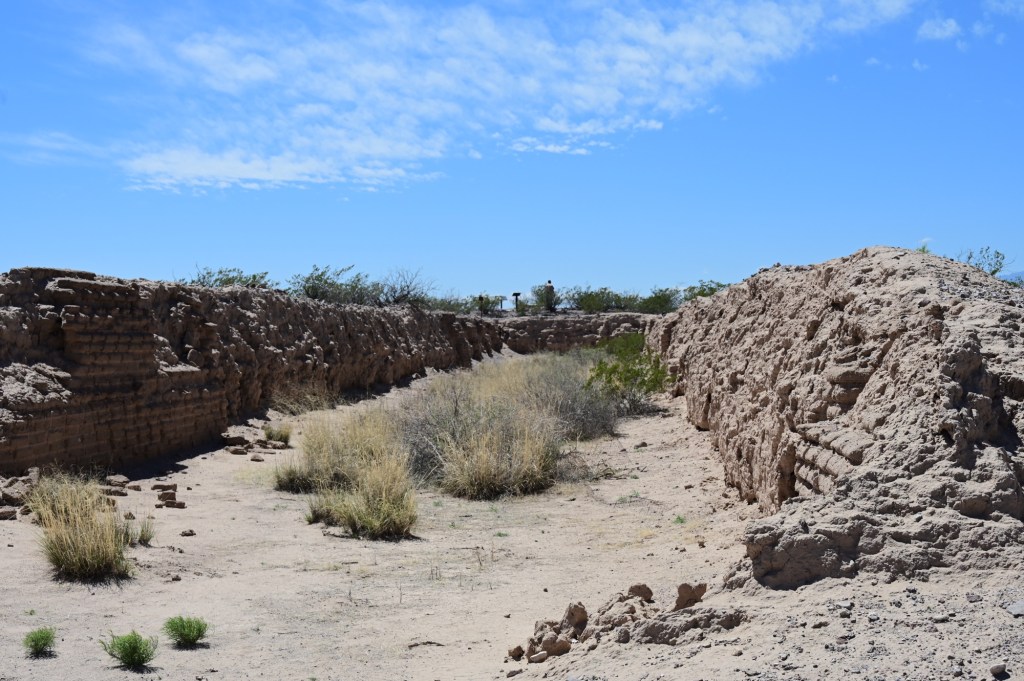
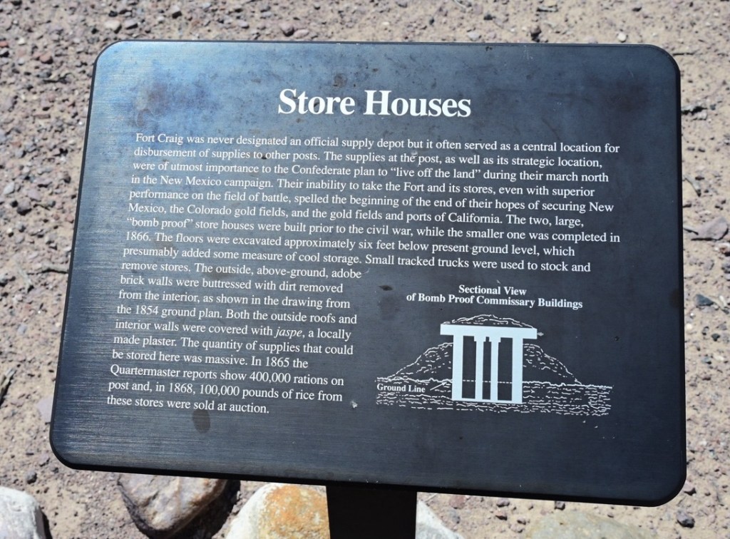
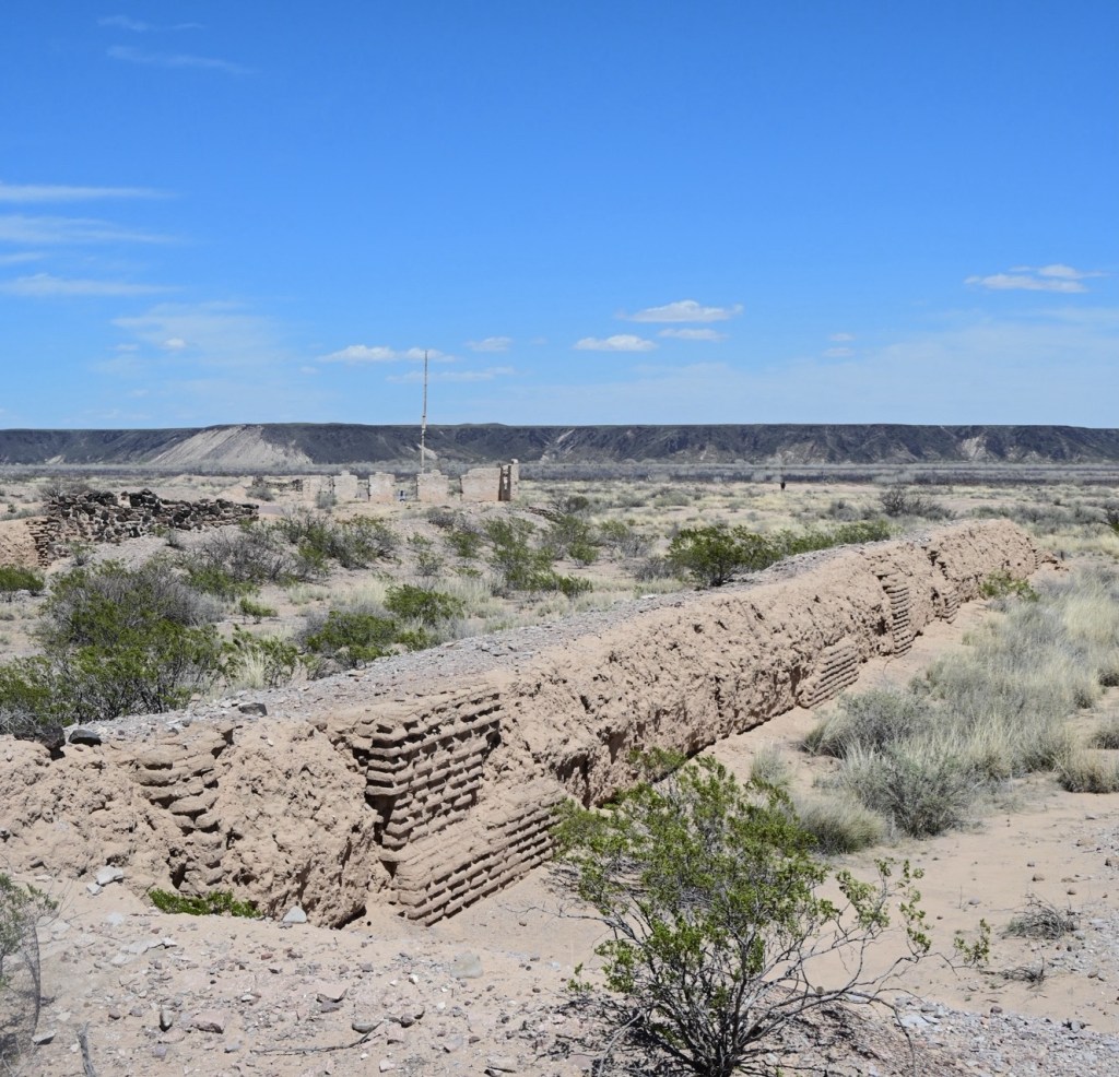
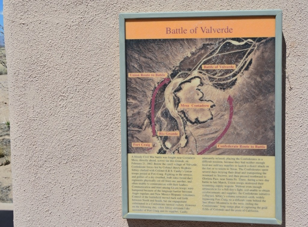
Fort Craig Historic Site
The wind was so bad even my pictures were blurry. It was miserable cold and wind. We’re getting tired of being cold but the wind is the worst.
Even with the wind we were impressed by the remains and walked the majority of the grounds.
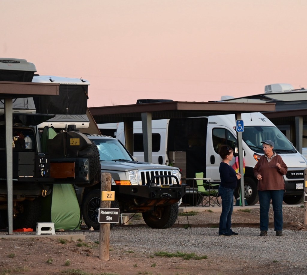
Thank goodness for the internet apps and the wonderful expedition groups and individuals who post reviews of camping options. We needed a quick camping option and we’re looking for a boon docking option hopefully out of the wind.
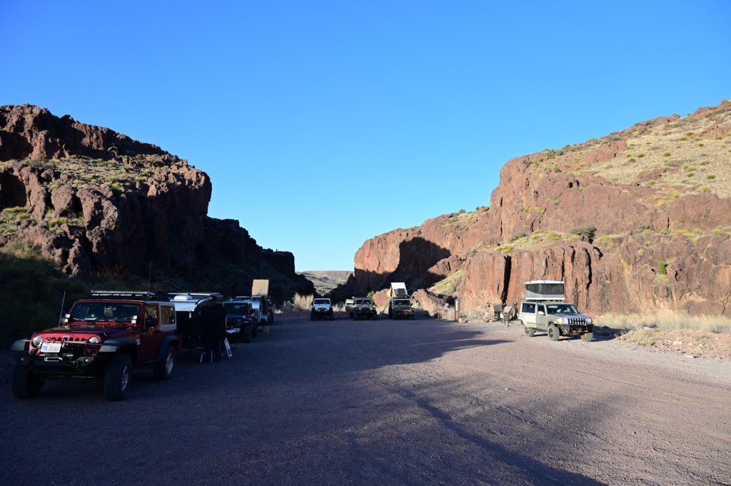
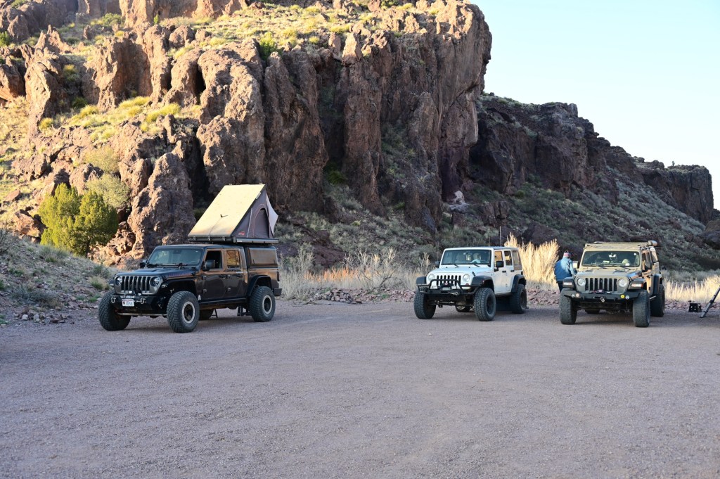
The Box Campground
The wind break turned out to be a wind tunnel. What a night! That was the strongest wind we’ve ever experienced in the roof top tent. But we all survived and the campsite was beautiful. And the price was right.
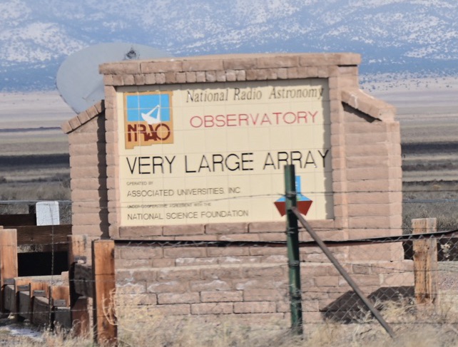
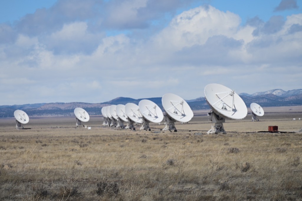
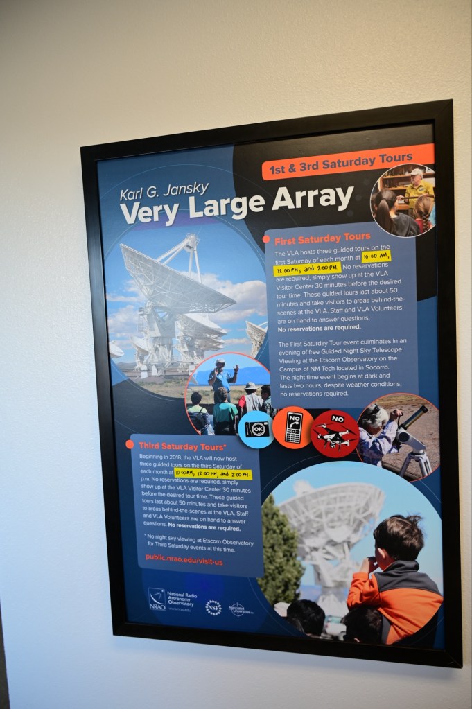
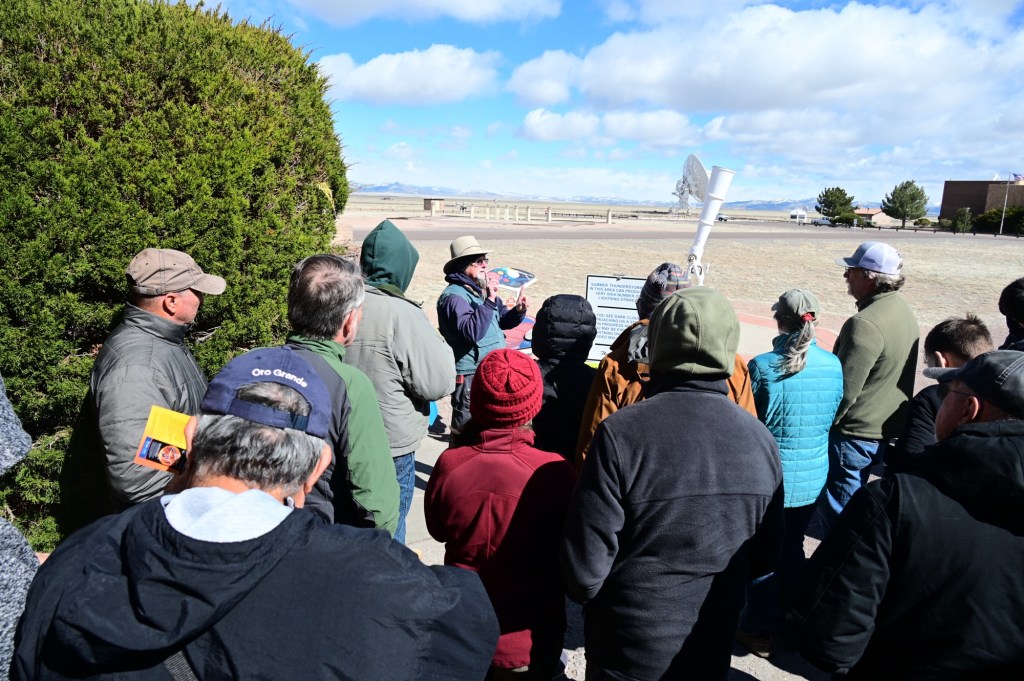
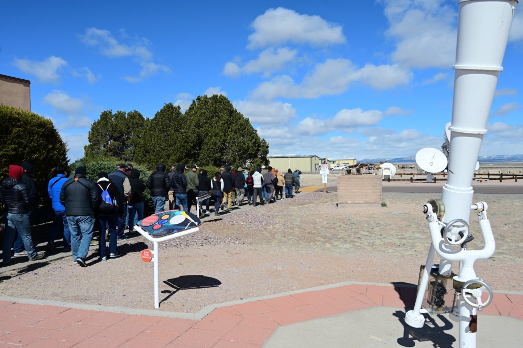
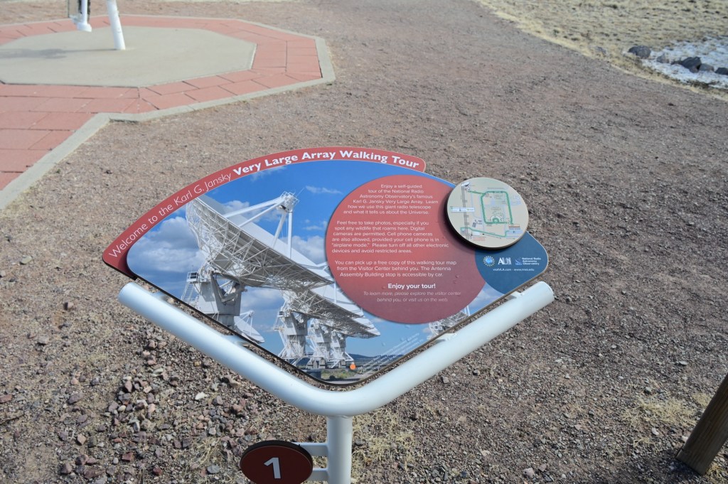
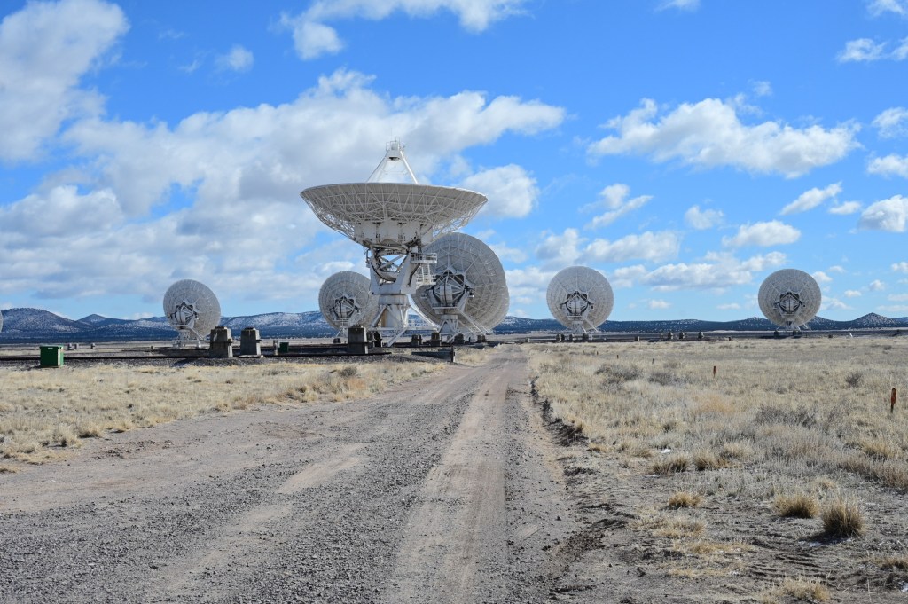
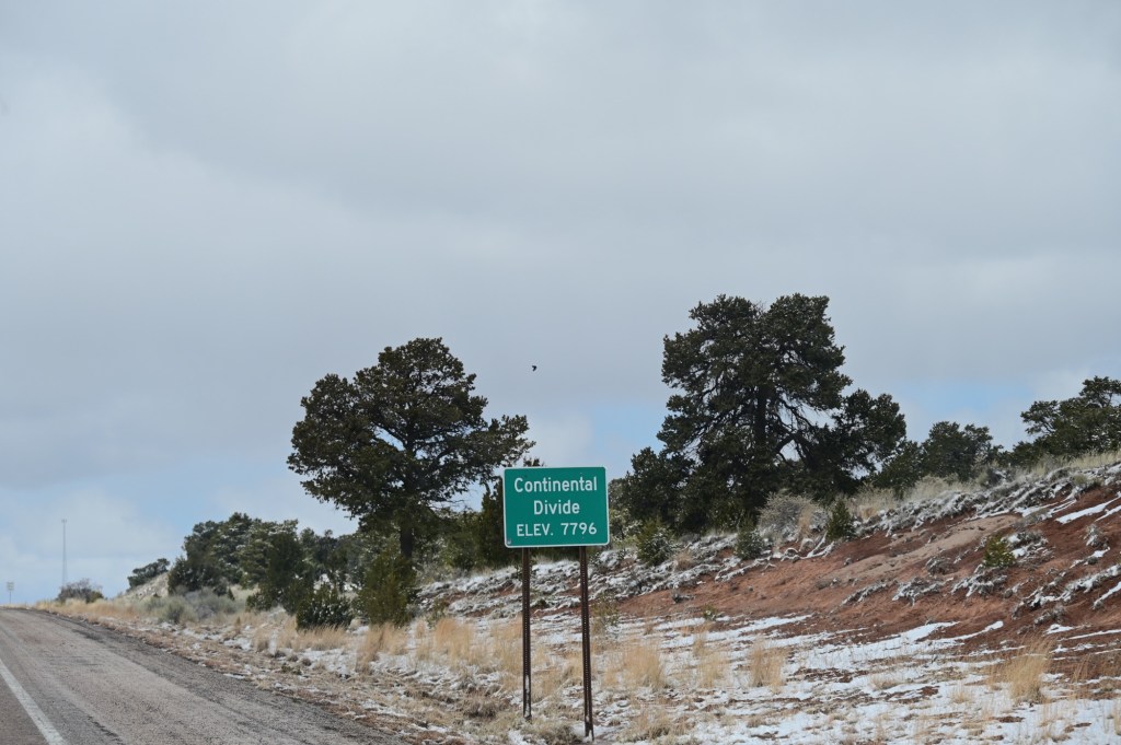
April 7, Saturday – Very Large Array, Pie Town and Done
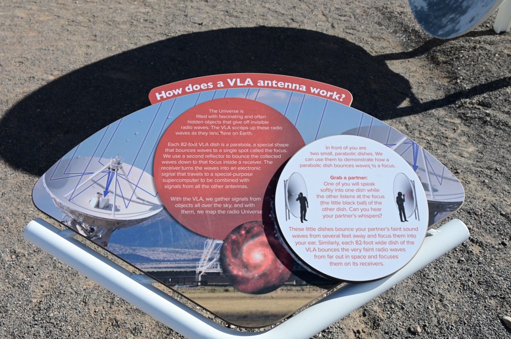
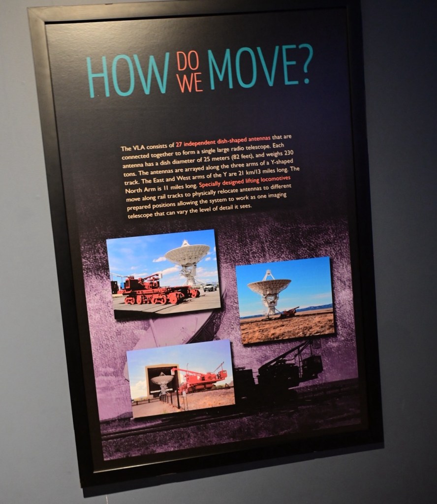
The Very Large Array (VLA) is comprised of 27 radio telescopes in a “Y” pattern spread across the plains of San Agustin 50 miles west of Socorro. The VLA has been used by more astronomers and has been mentioned in more scientific papers than any other radio telescope in the world. Each antenna is an 82-foot diameter dish that weighs 230 tons.
The walking tour in the freezing cold.
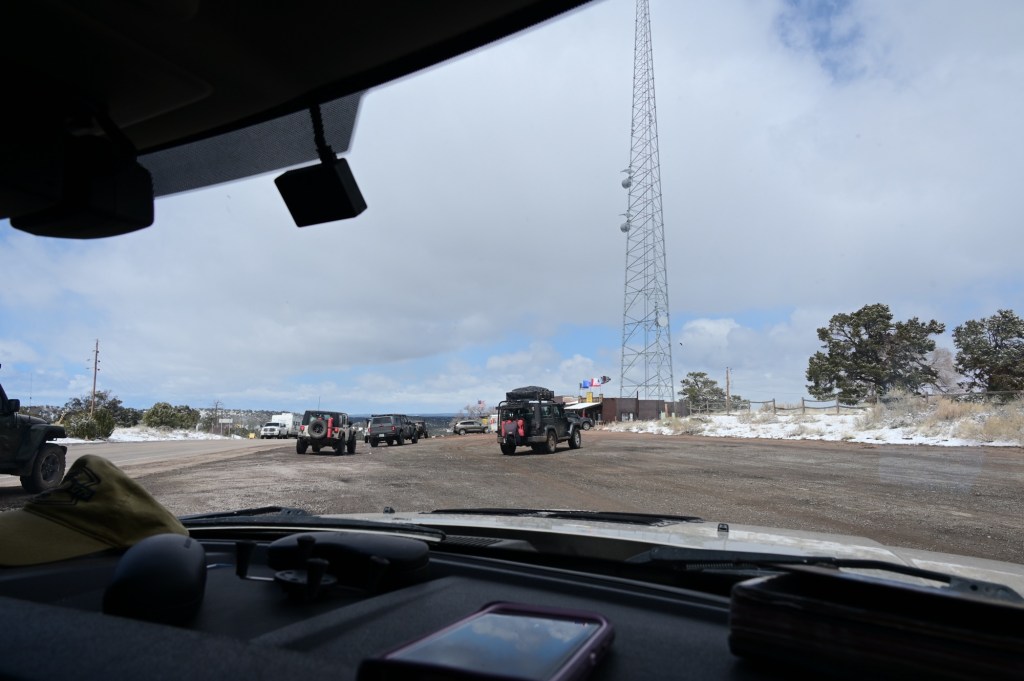
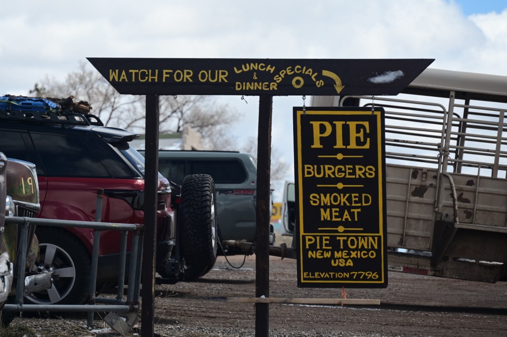
Onward to Pie Town!!
Pie Town is located along U.S. Highway 60 in Catron County. Its name comes from an early bakery for making dried-apple pies that was established by Clyde Norman in the early 1920s.
Yay! We made it to Pie Town! This is one of our favorite places to eat. It’s literally in the middle of nowhere but always packed. Good food, a fun environment, and pie baking fresh all day long. What could be better? We’ll go out of our way every time to hit Pie Town.
Thank you to all of our fellow JEO Jeepers for another successful adventure shared with new friends and old. And thank you again Reasley and Sierra Bob for all of the hard work and dedication in putting together a trip with so much historical value.


what an adventure!! Thank you for sharing, Mom! 😃
LikeLike