
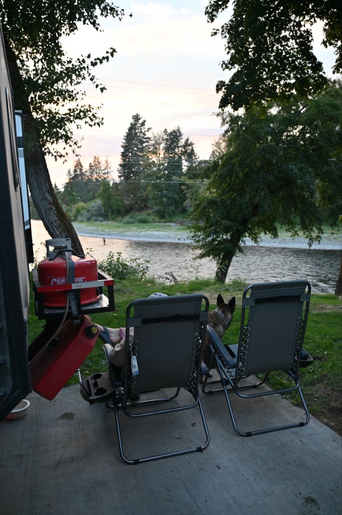
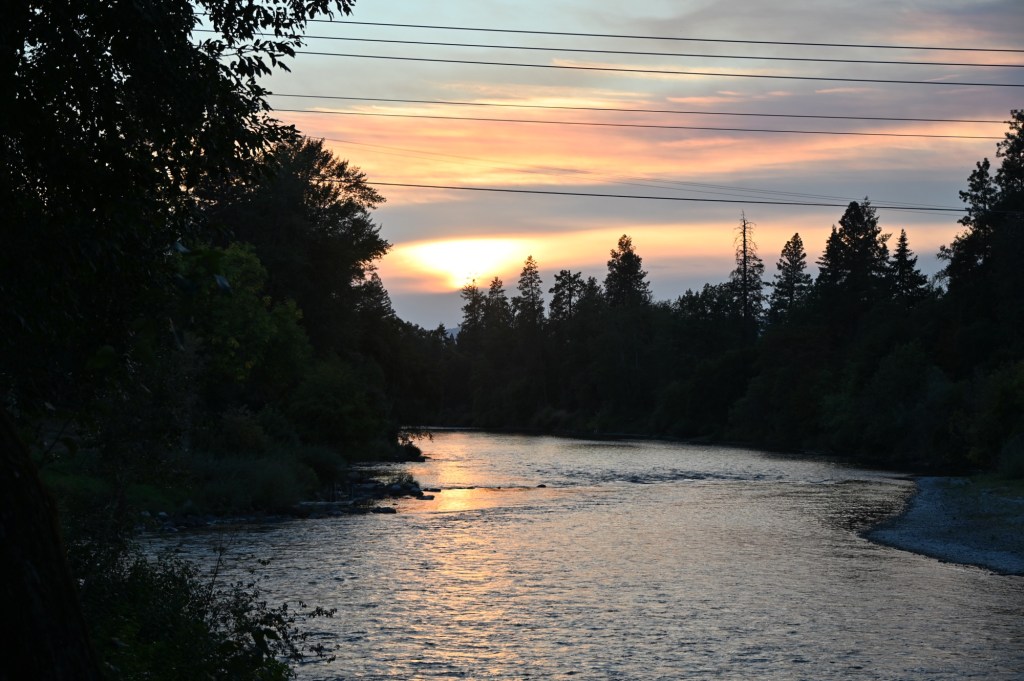
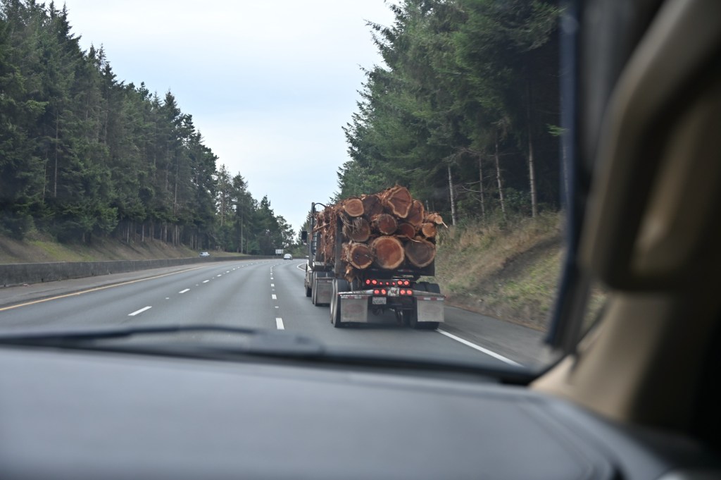
After 5 very busy days with the 4 x 4 group, we started the second leg of our trip. The general plan was to head up into Oregon and then down the California Coast to San Diego, hopefully catching 2 National Parks and several National Monuments.
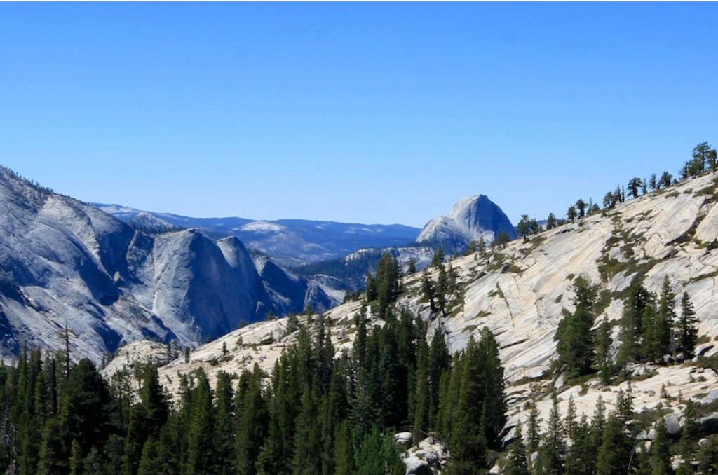
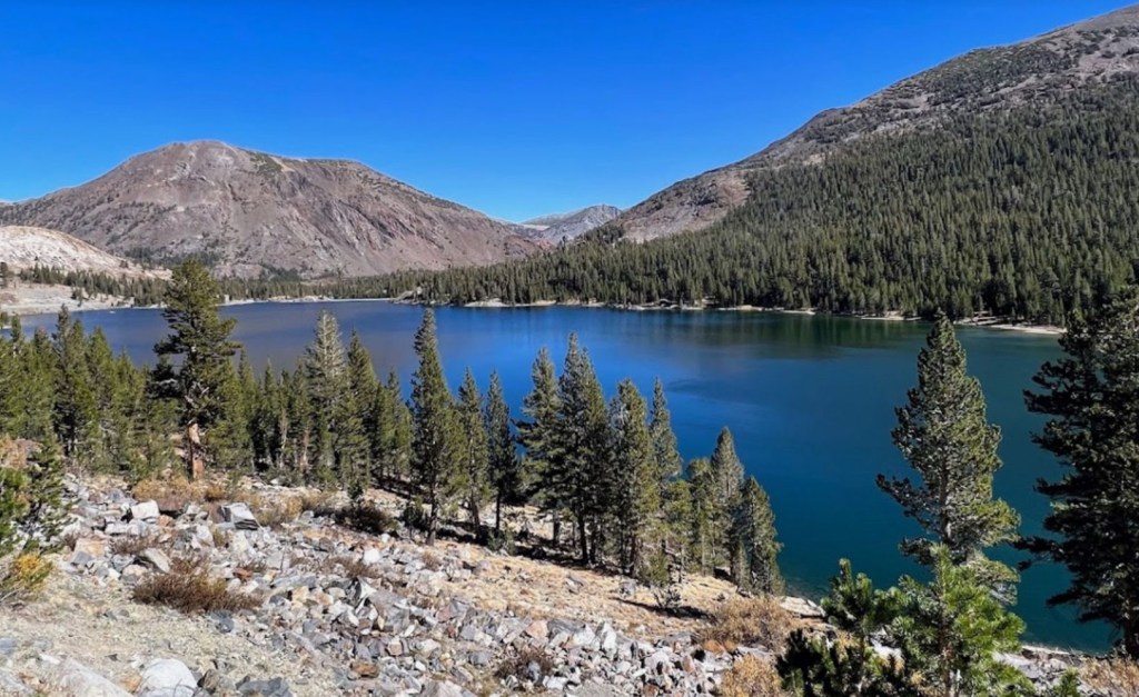
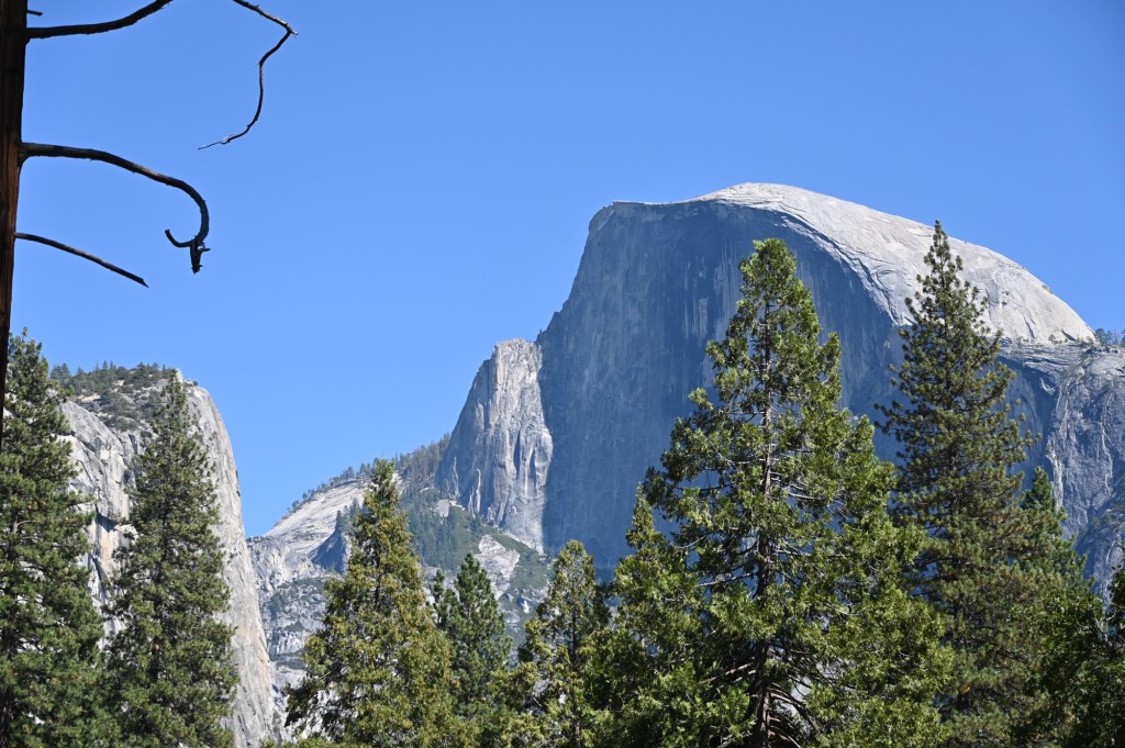
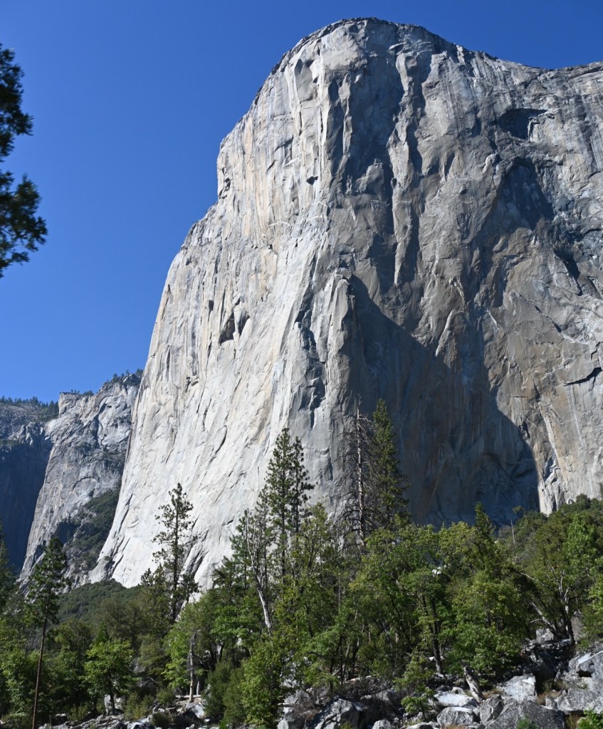
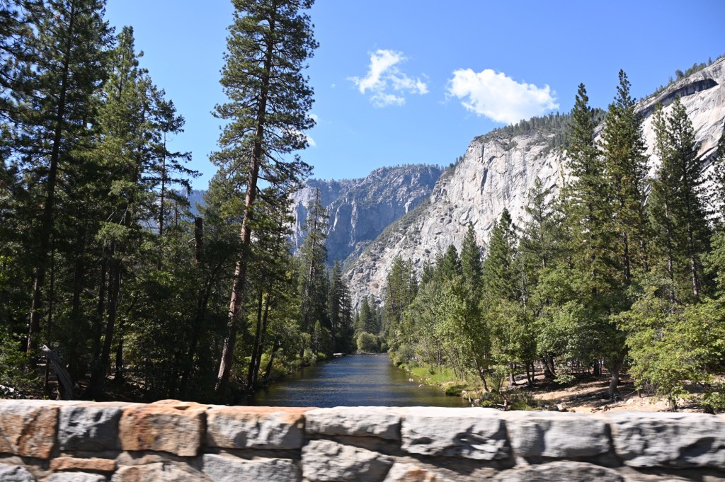
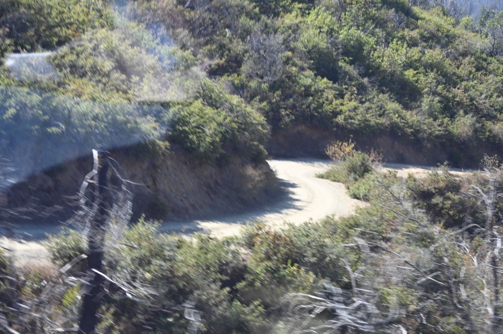
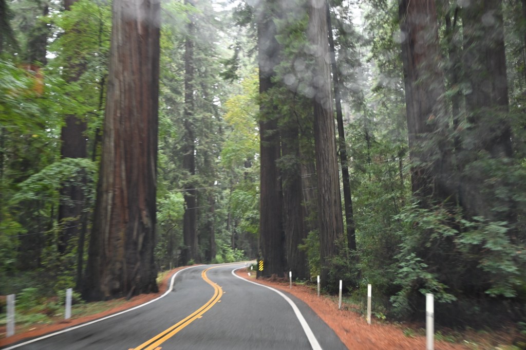
We’re this close, so we have to go spend some time at my all time favorite, Yosemite National Park! The road to get there is breathtaking.
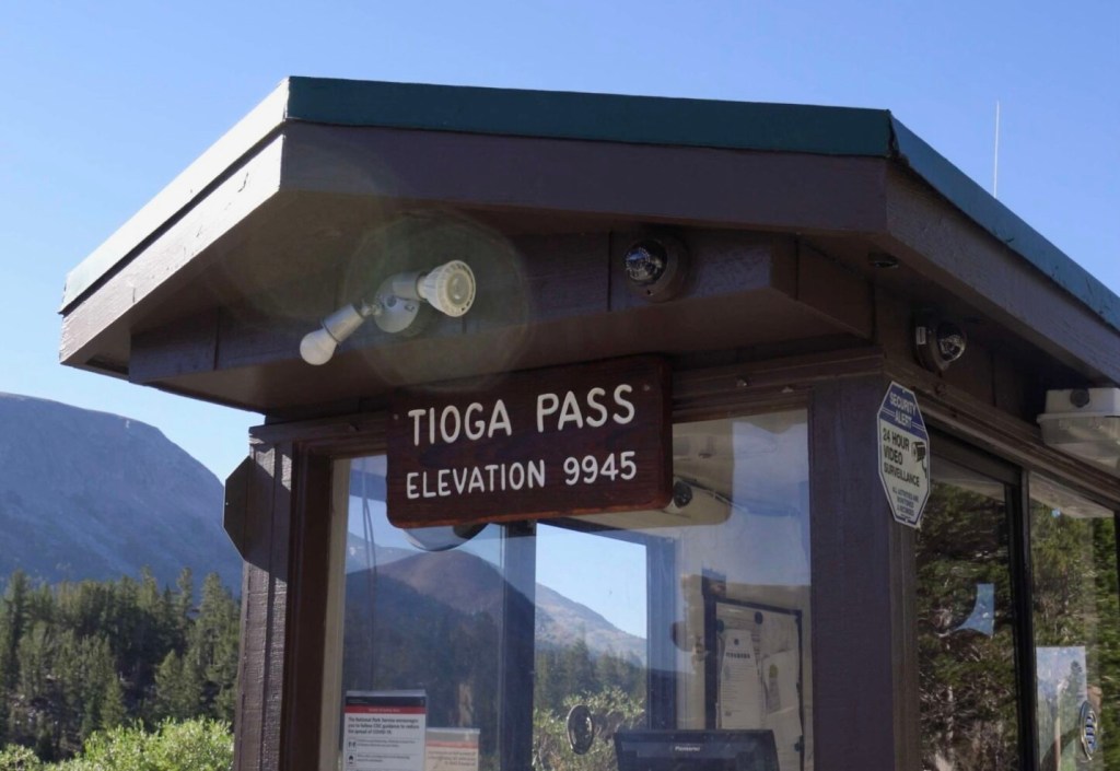
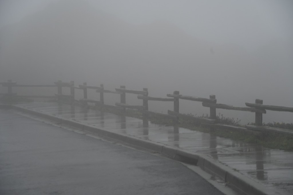
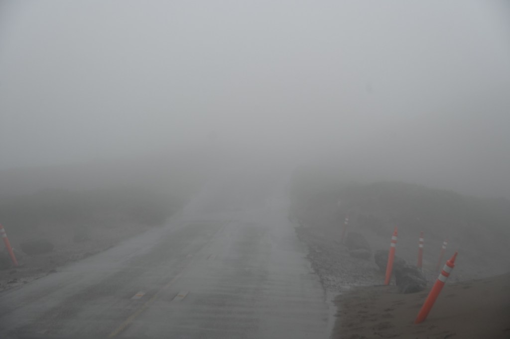
Tioga Pass
Tioga Pass is a mountain pass in California’s Sierra Nevada mountains, located at an elevation of 9,945 feet. It is the highest highway pass in California and serves as the eastern entrance to Yosemite National Park via Highway 120. The pass is typically closed from November through late May or early June due to snow, but it offers stunning scenery and access to hiking trails and lakes when open.
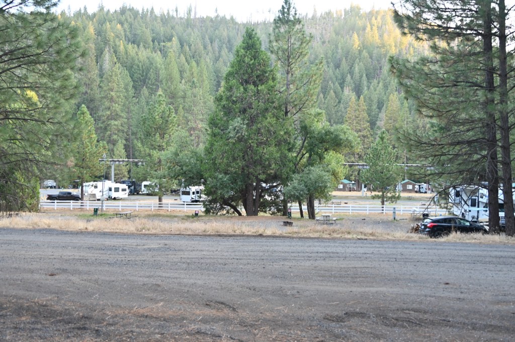
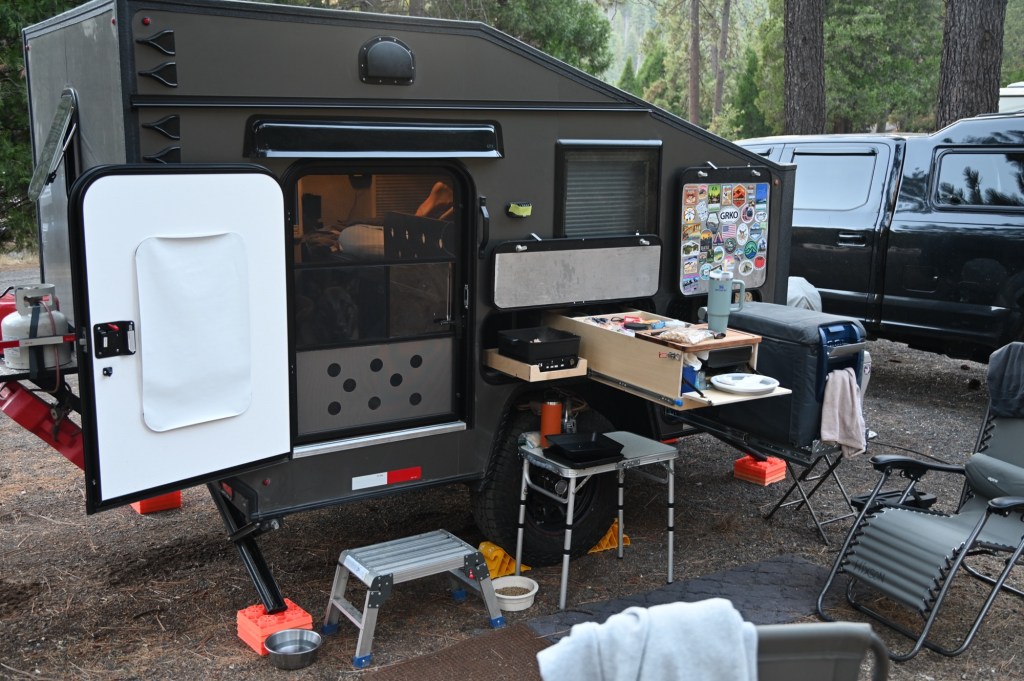
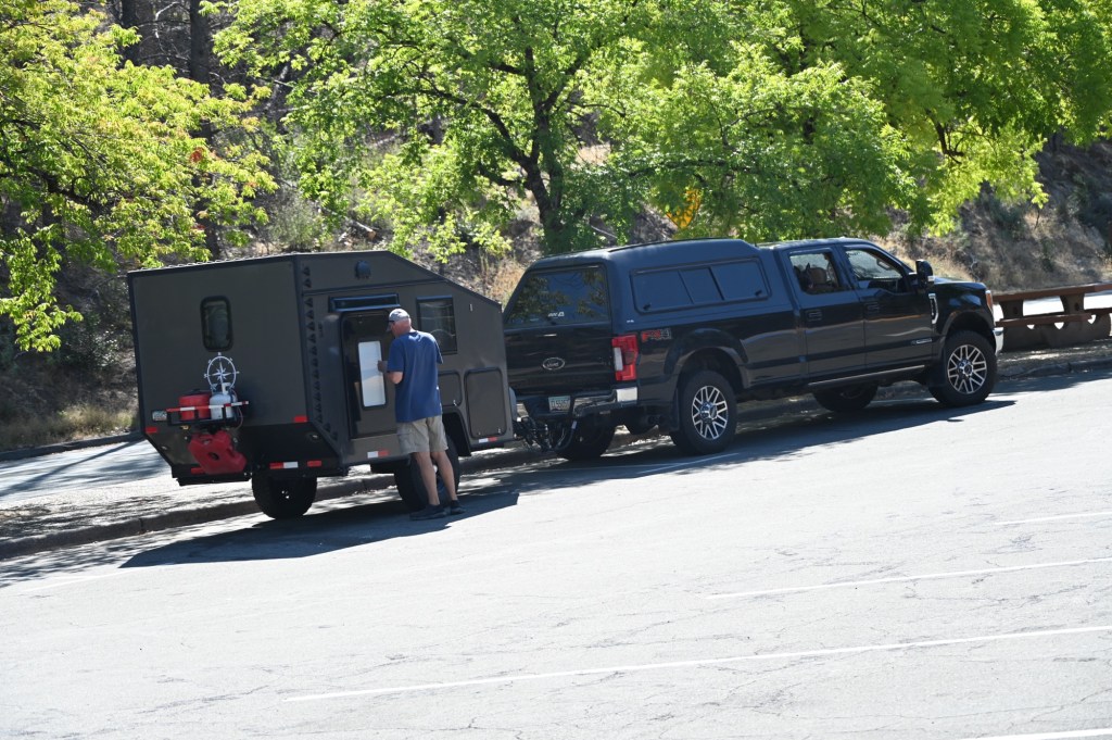
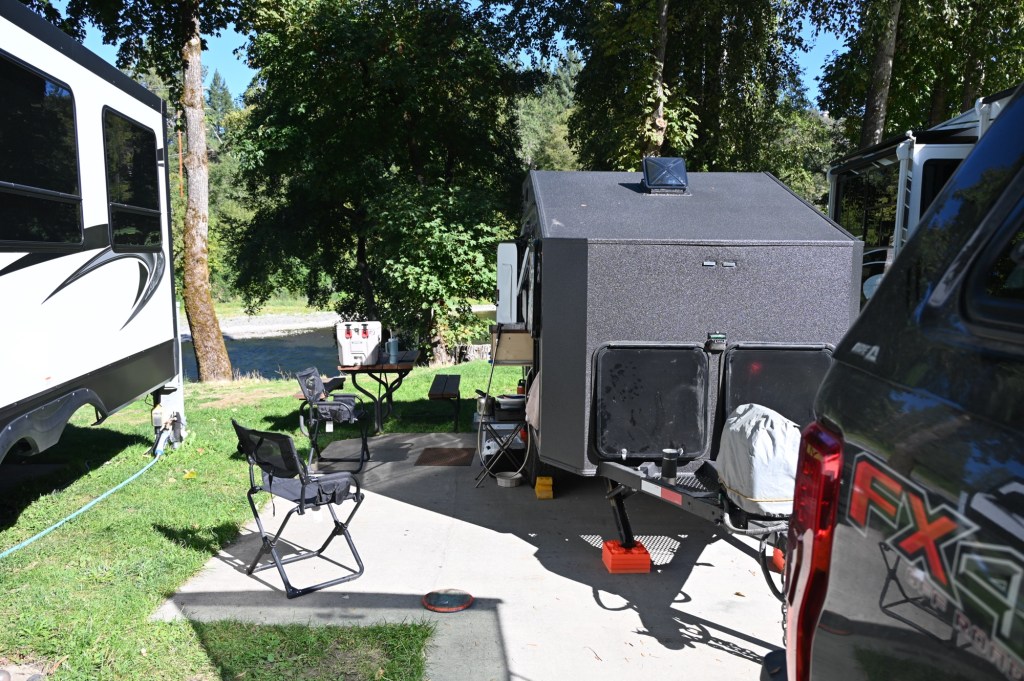
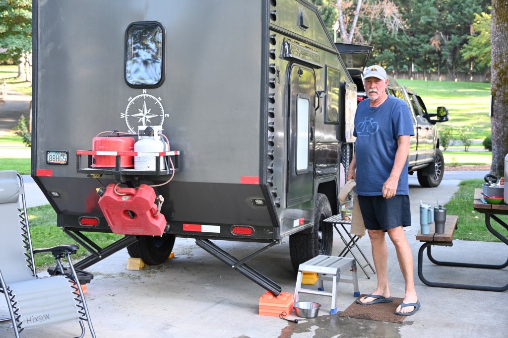
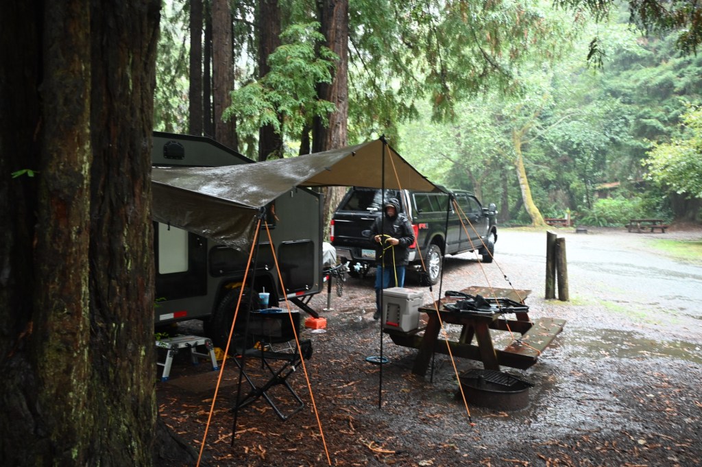
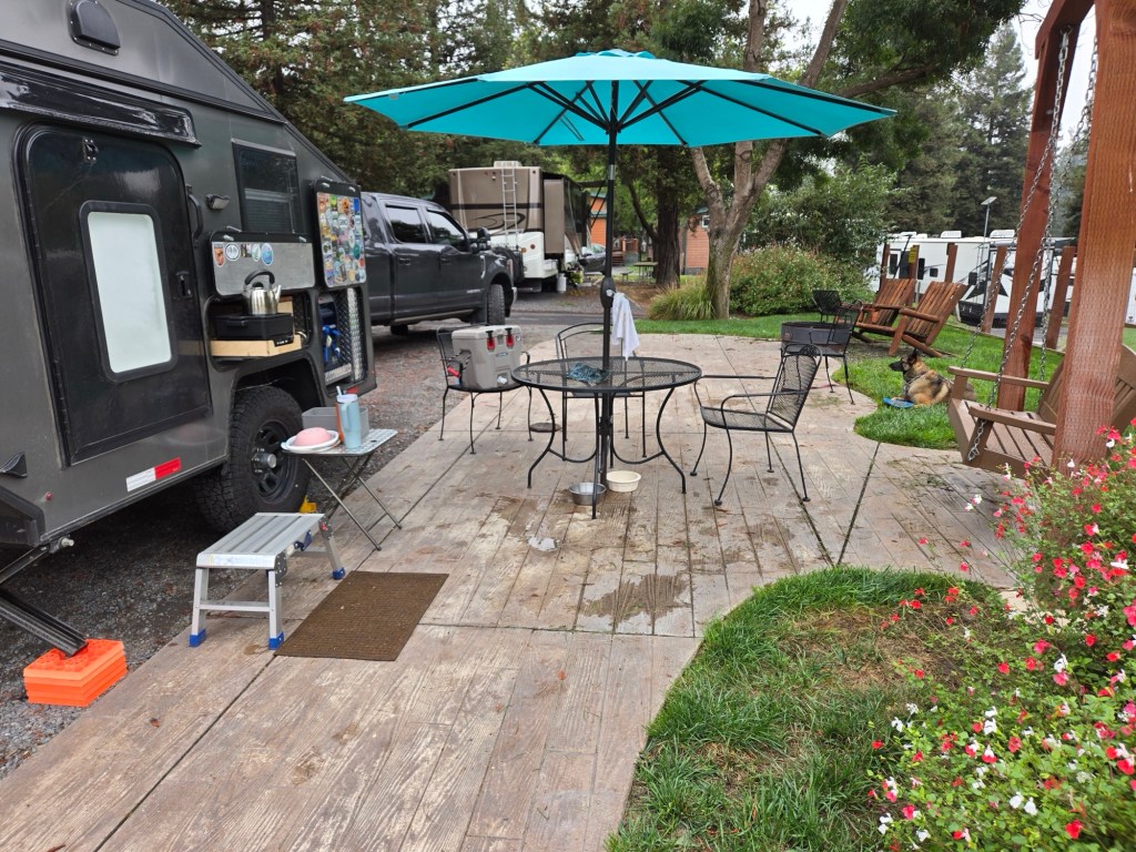
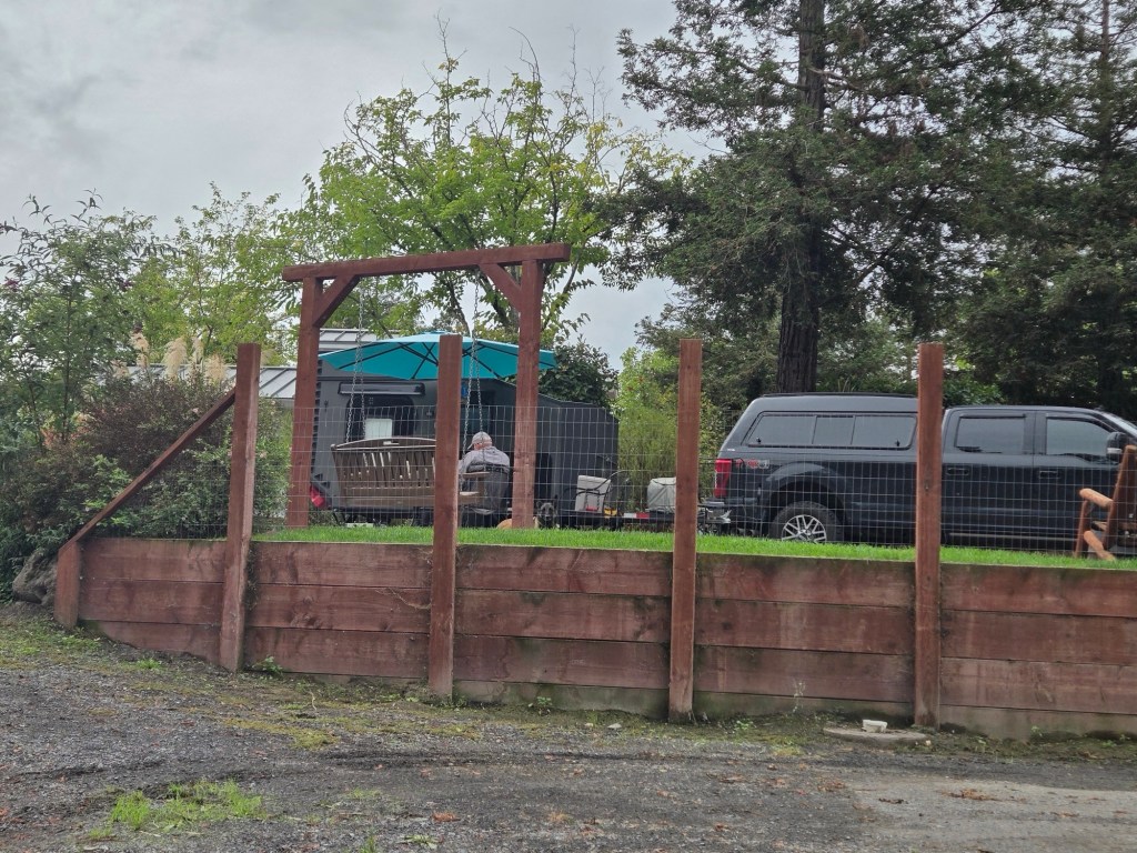
Camping at a “Thousand Trails“ campground.
We’re not members of the Thousand Trails national RV Park network, but we do sometimes take advantage of their premium locations if they have vacancies.
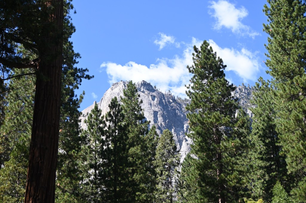
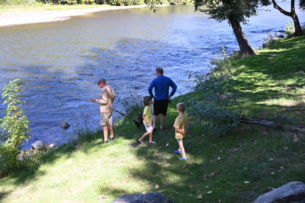
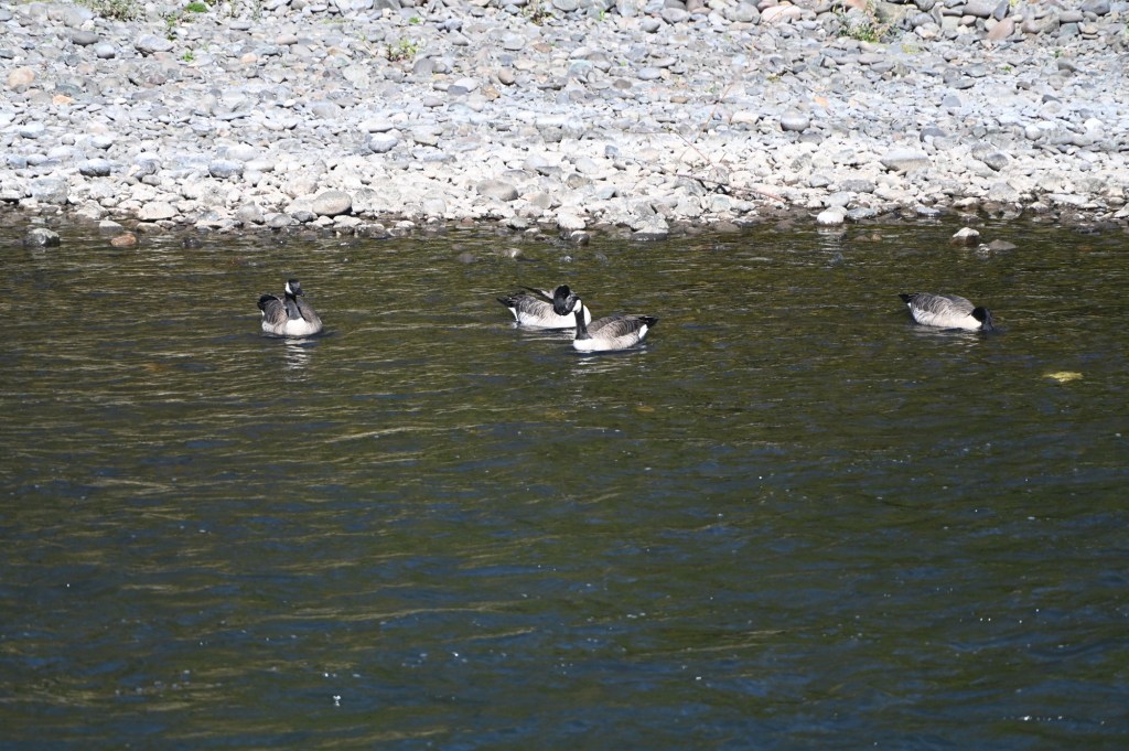
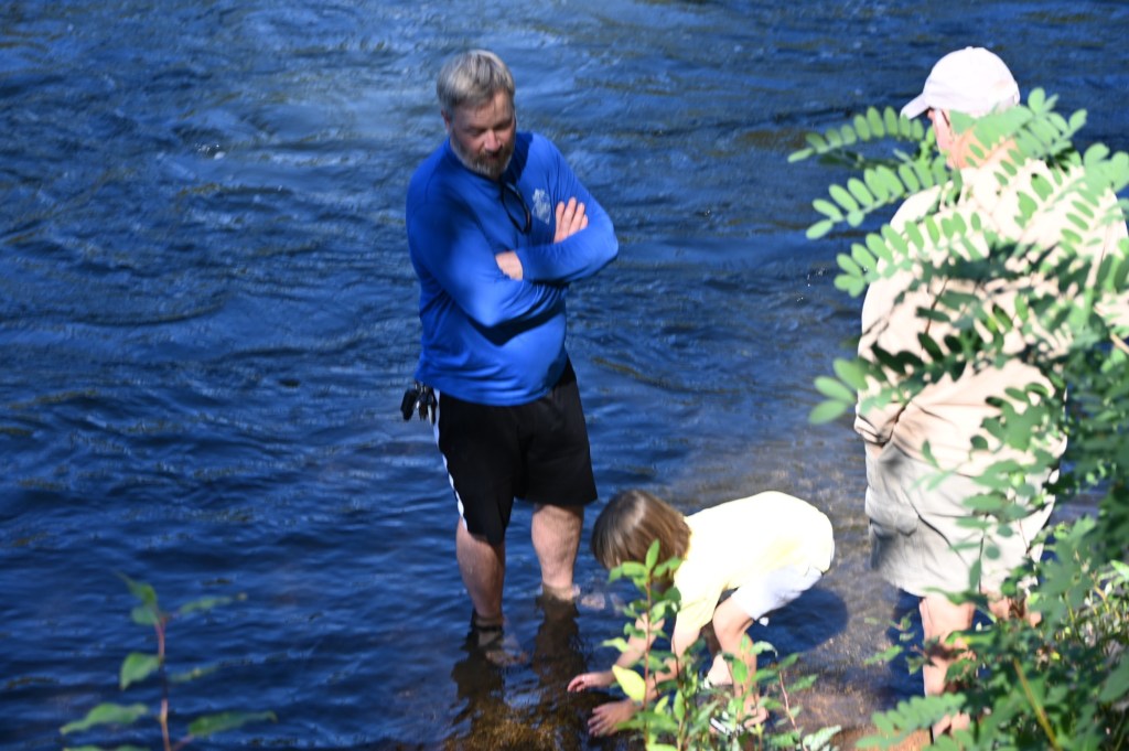
Inside Yosemite National Park
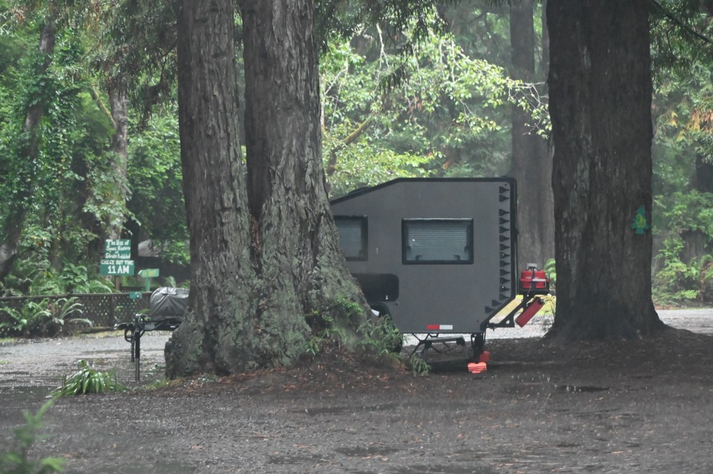
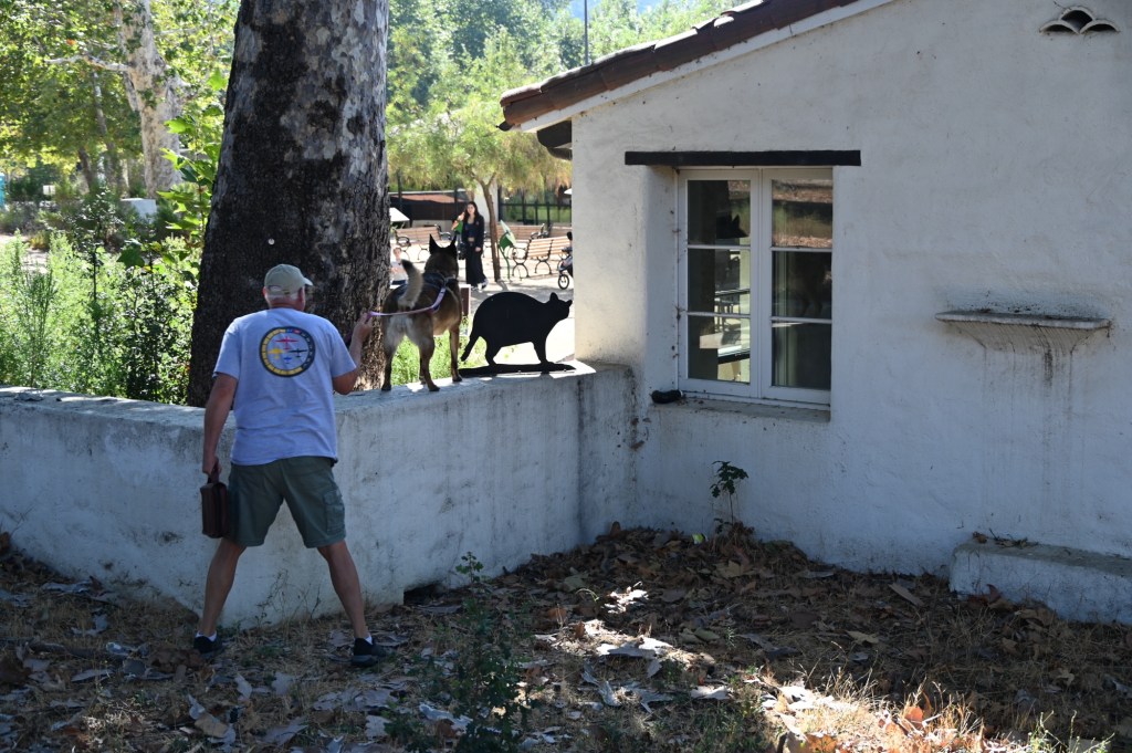
We would have loved to be able to camp within the park. And we brought our bicycles! After months of trying, I had only scored 1 night in the Upper Pines campground within the park. We drove in and checked out the spot, hoping to get additional nights on the fly. WHAT A DISASTER!!! The park was packed. And this is off season?? We’ve never seen it so crowded. Who are these people? It was such a disappointment that we decided to cancel our one night and give up our spot to someone on a waiting list. Luckily we got a couple of more nights at the Thousand Trails campground before we moved on.
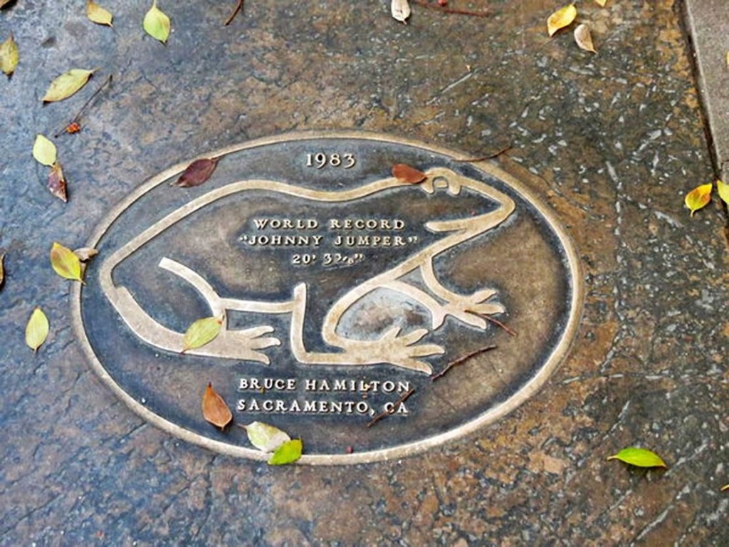
Angels Camp, home of Mark Twain
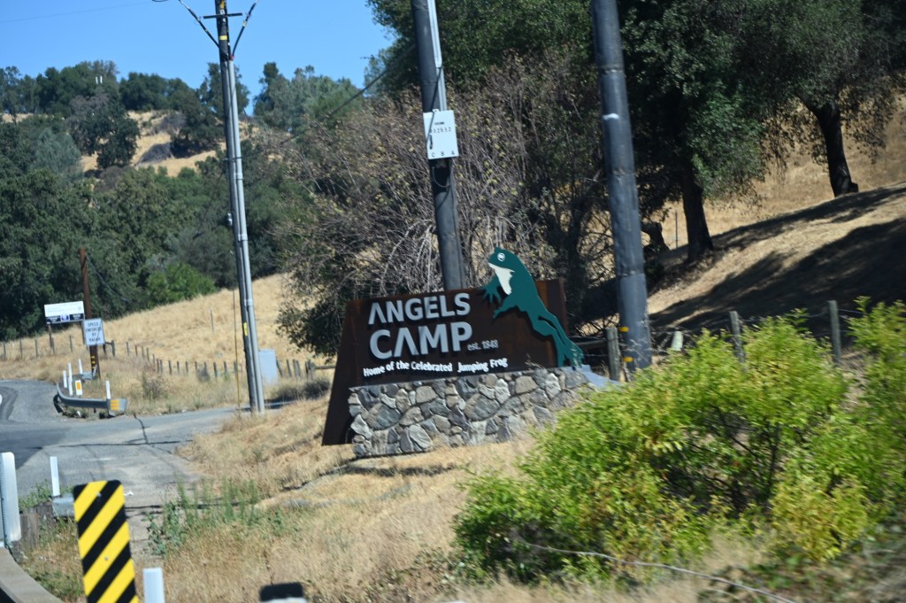
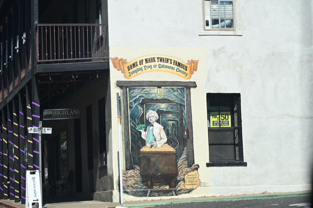
Mark Twain based his short story “The Celebrated Jumping Frog of Calaveras County” on a story he claimed to have heard at the Angels Hotel in 1865.[8] The event is commemorated with a Jumping Frog Jubilee each May at the Calaveras County Fairgrounds, just east of the city. Because of this, Angels Camp is sometimes referred to as “Frogtown.”
This is funny….
With over 4,000 contestants, the Calaveras County contest has imposed strict rules regulating the frog’s welfare, including limiting the daily number of a frog’s jumps and mandating the playing of calming music in their enclosures. Entering specimens of the California red-legged frog in the competition is illegal because it is an endangered species. Participants entering the longest-jumping frog were to win a $750 prize, or $5,000 if their frog were to break the 1986 record of 21 feet 5+3⁄4 inches (6.547 m) set by “Rosie the Ribiter.”[2][3]

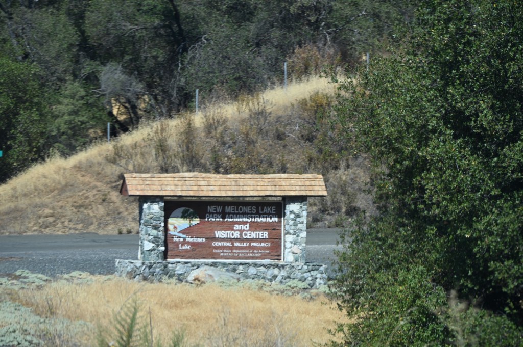
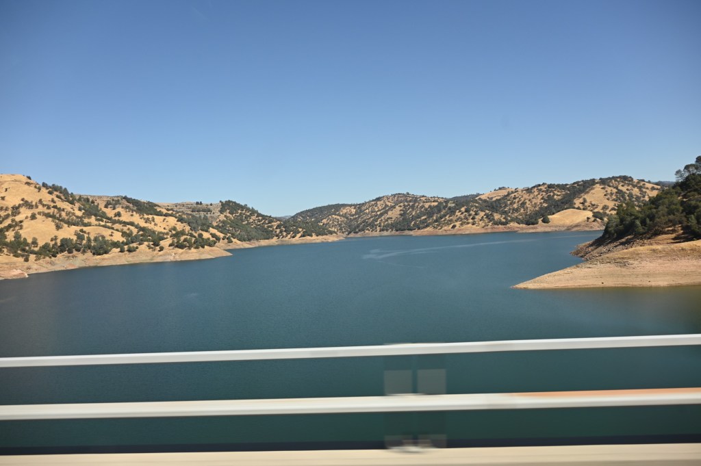
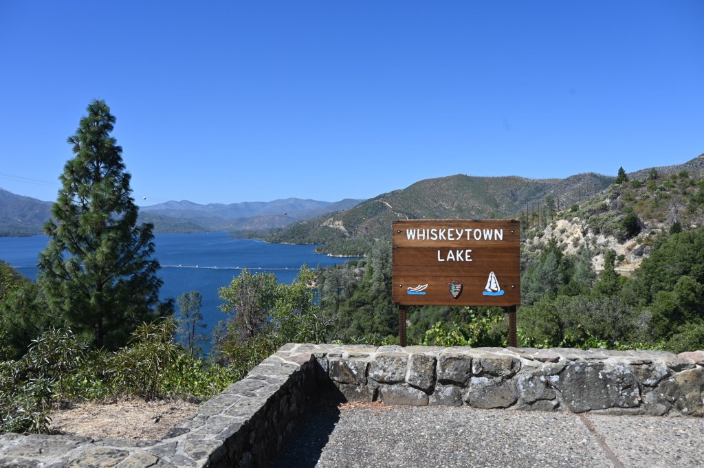
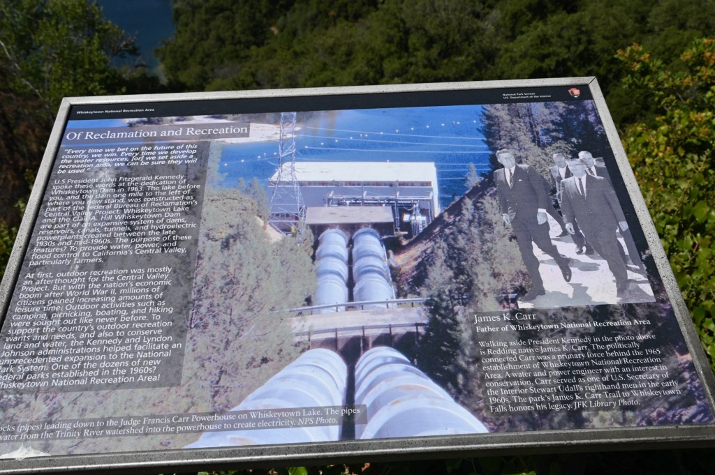
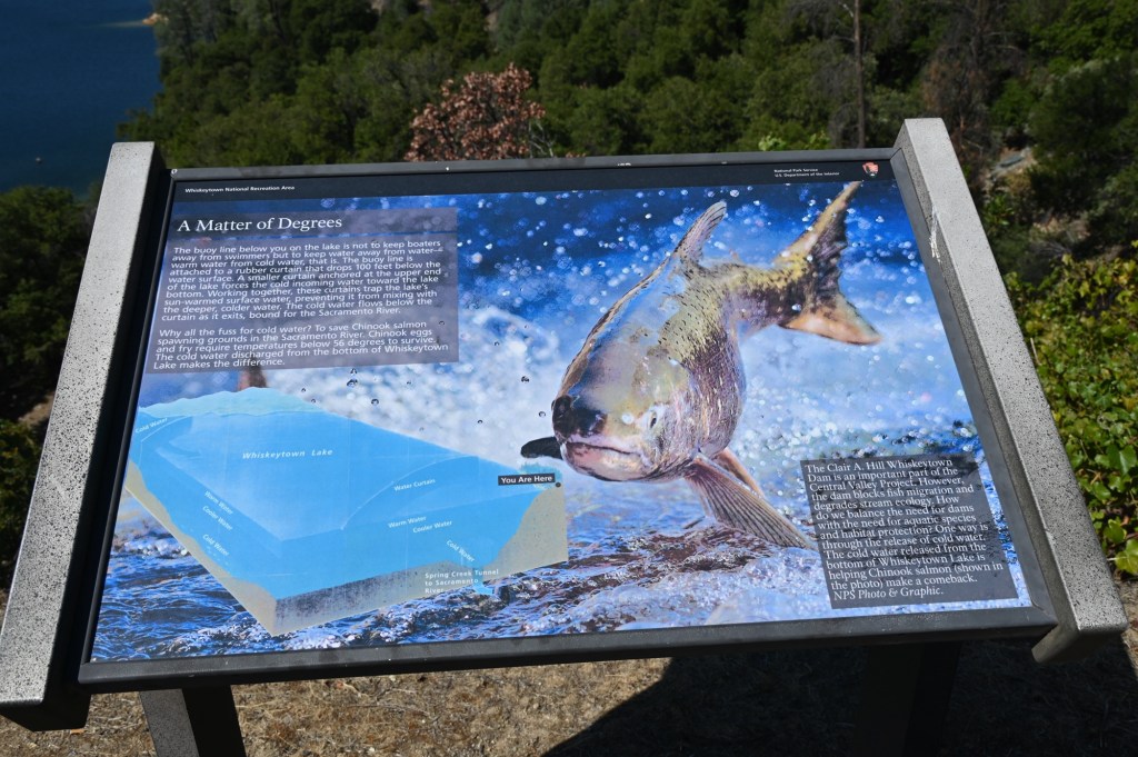
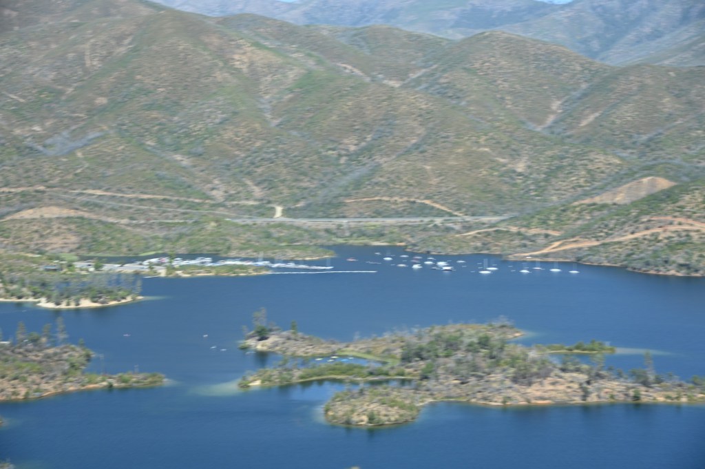
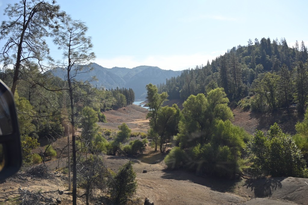
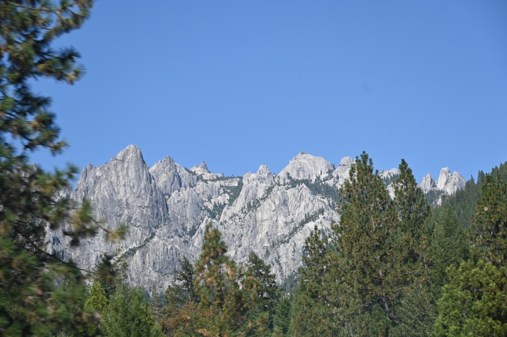
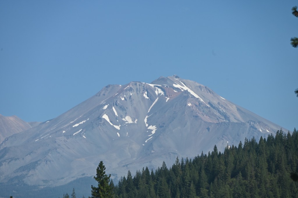
Whiskeytown Lake National Recreation Area
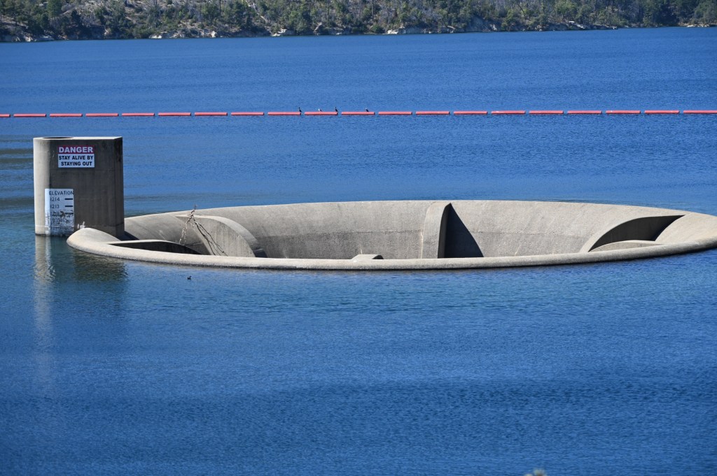
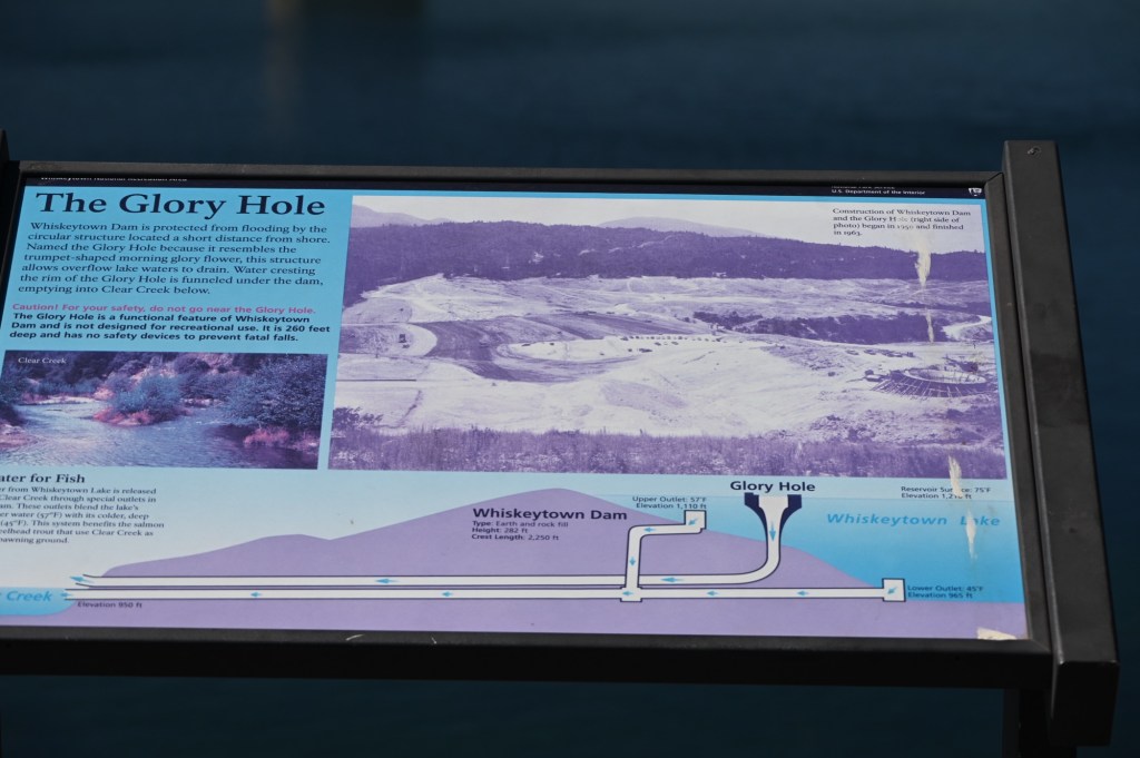
Well, we didn’t expect this! “The Glory Hole”. Their name, not ours.
There’s a 24-foot “hole” at the bottom of Whiskeytown Lake that extends through the lake’s dam. Those who have ever visited the dam have likely seen the concrete hole sticking up from the surface of the lake.
Most of the time, the surface of the lake is above the entrance to the “Glory Hole,” so water can’t get in, but when the lake level rises too high, water pours into the giant pipe, keeping water from going over the dam. The 24-foot-diameter concrete pipe runs down to the bottom of the lake and then cuts at a sharp angle and out through the downstream side of the dam.
Once every few years, during periods of heavy rain, the lake level rises so high, creeping closer to the crest of the dam, that water flows over the top of the Glory Hole and cascades down into the giant gullet.
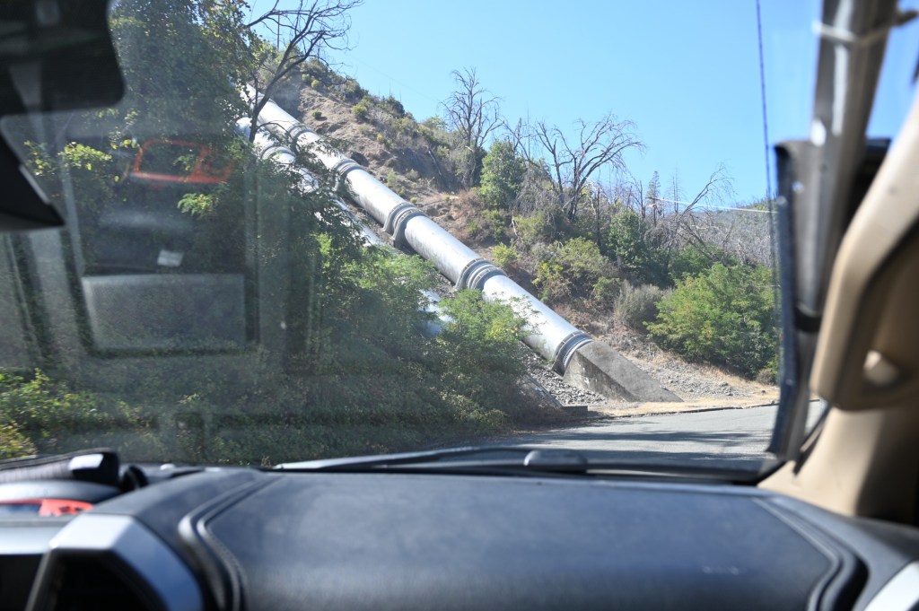
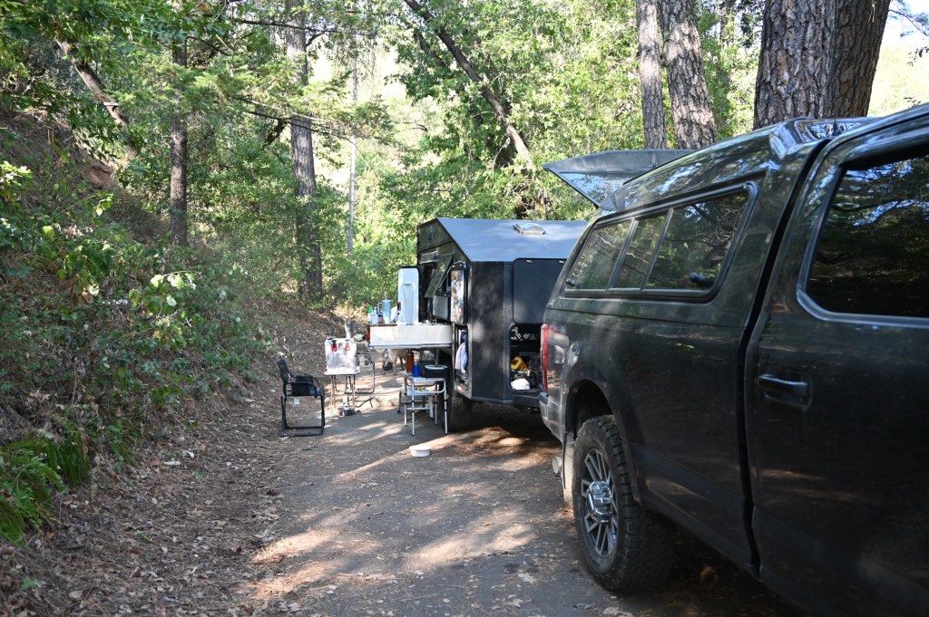
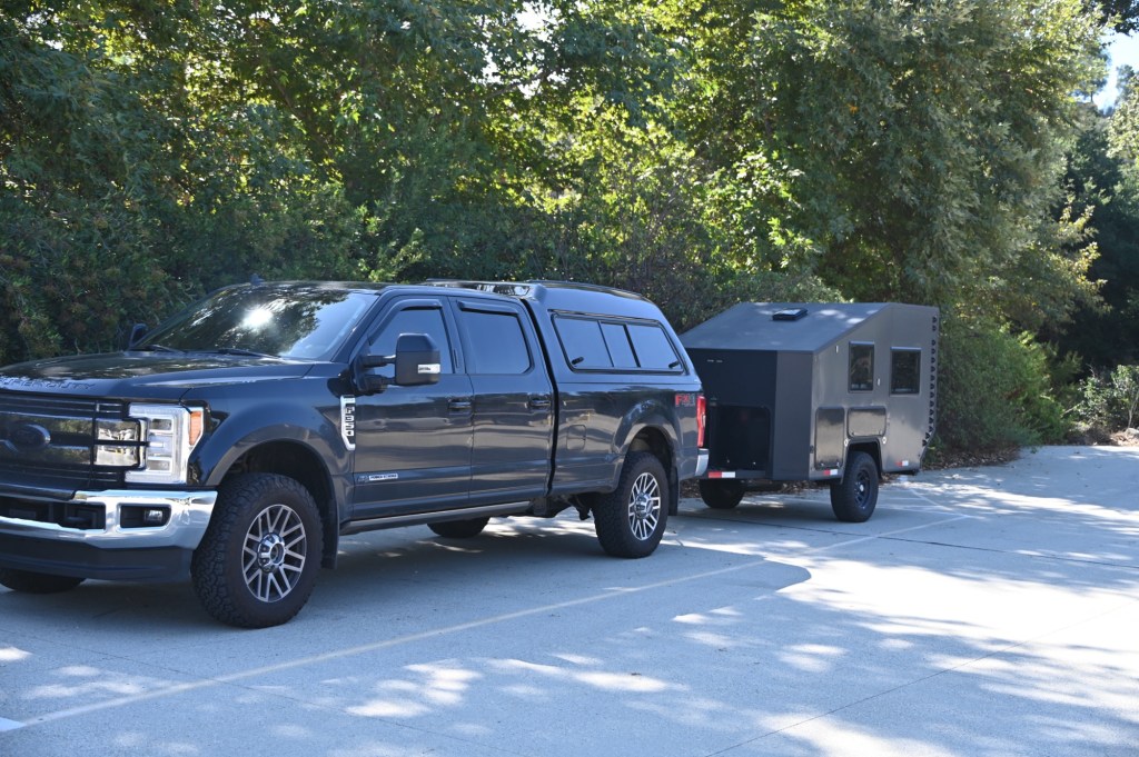
We took the Whiskeytown Lake loop which ended up being a bit rough. Good thing we’re only towing the tiny trailer.
The lake is way out there…
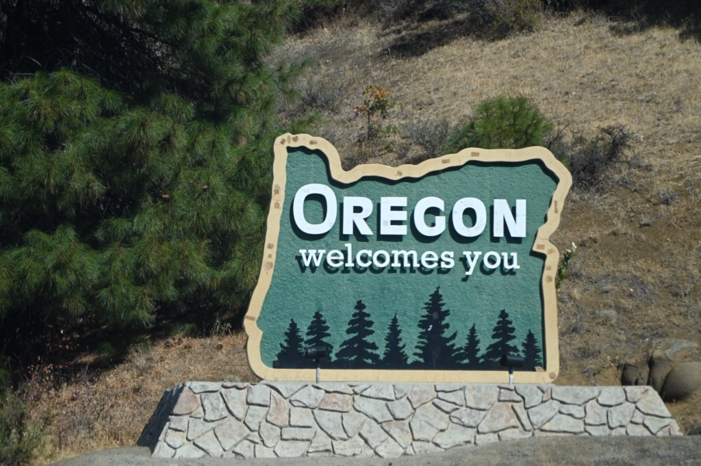
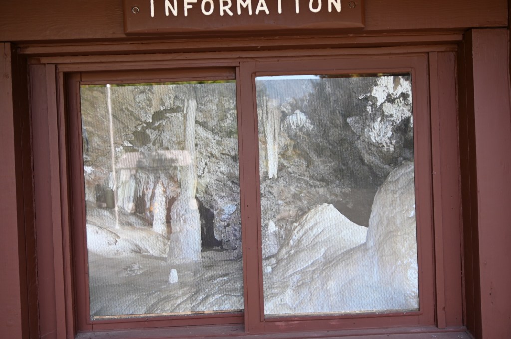
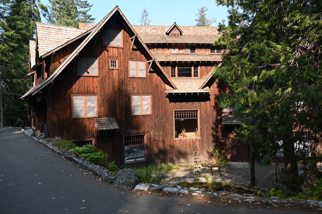
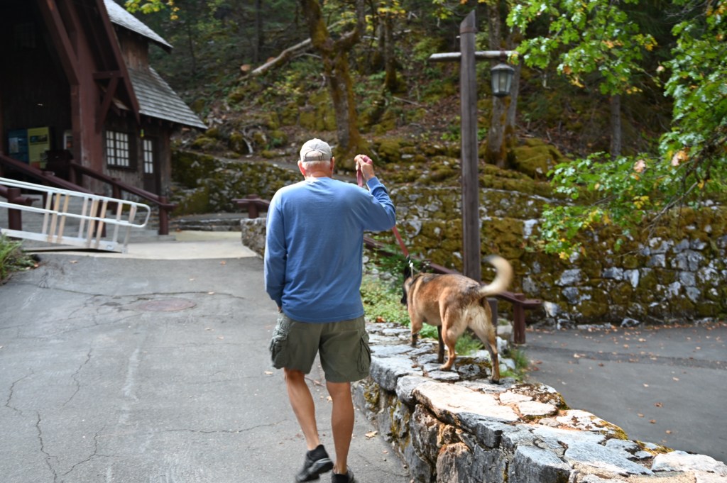
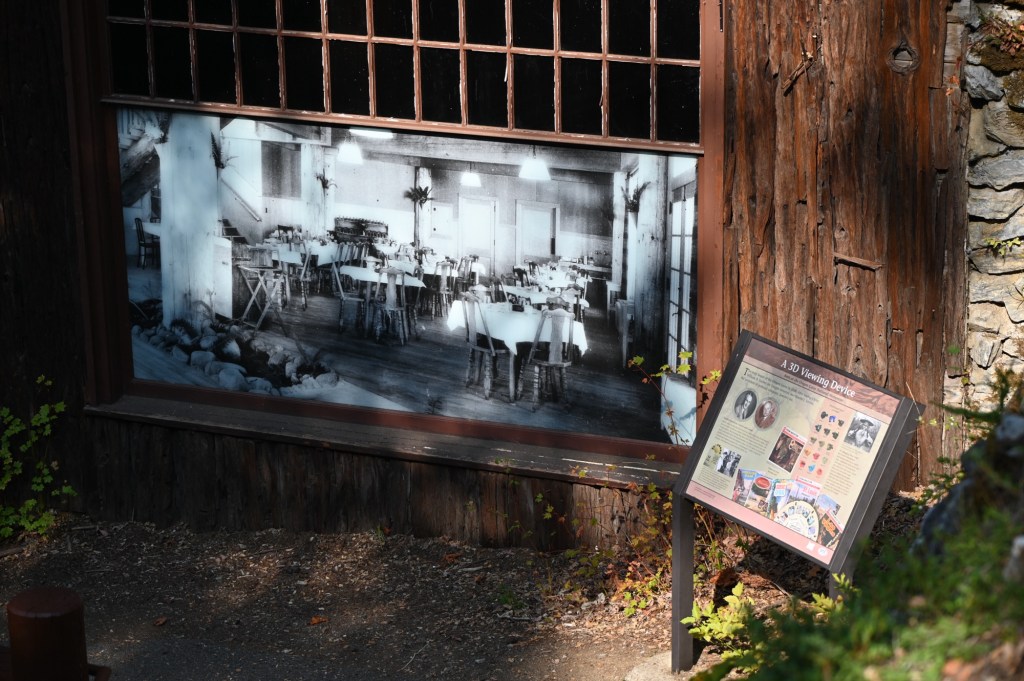
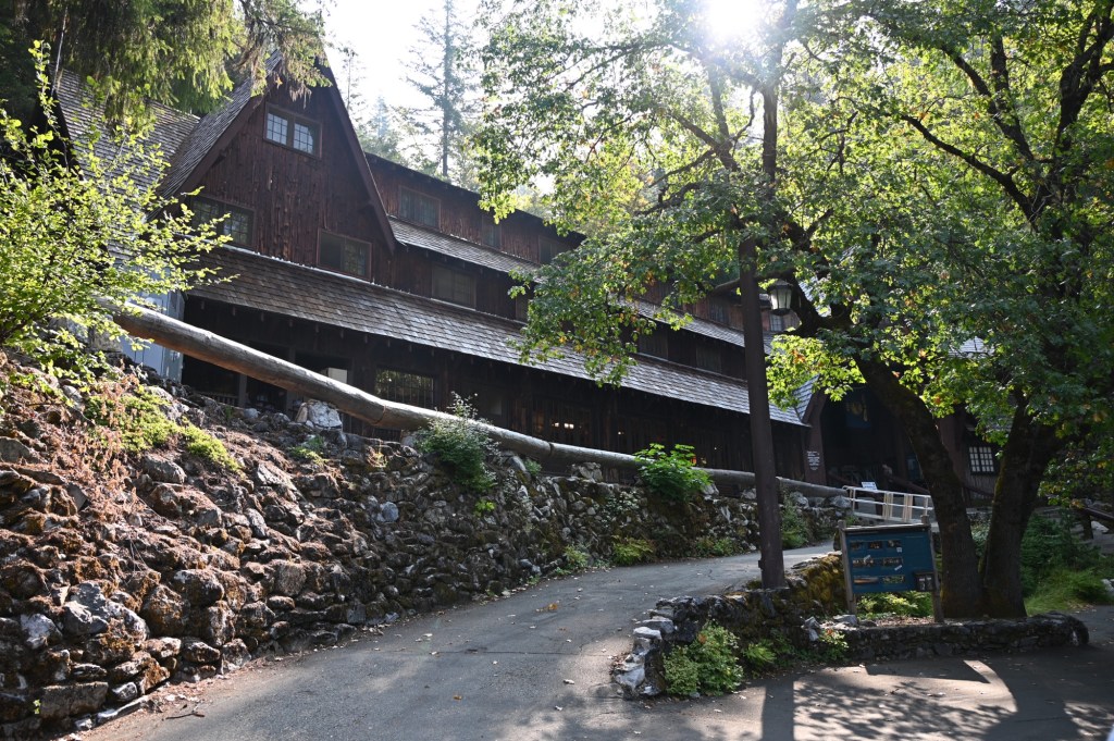
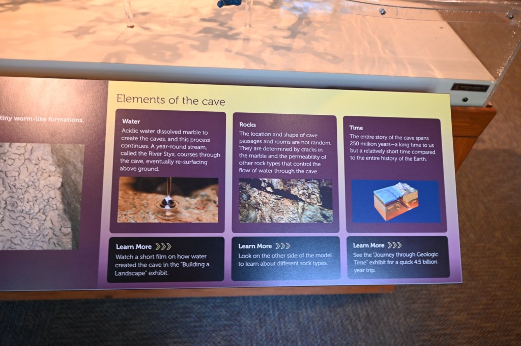
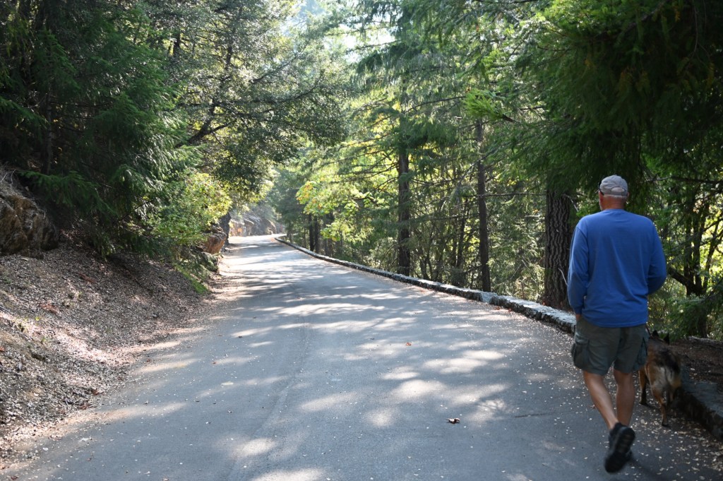
Oregon Caves National Historic Monument and Preserve
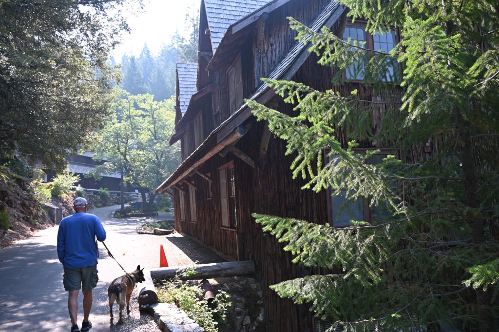
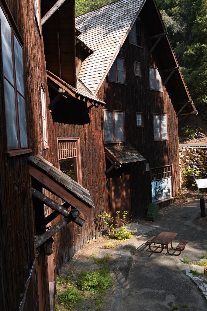
This was another very pleasant surprise from the passport book. The road back in to the park was a treat in itself. We didn’t have tickets for the very limited cave tour, but experiencing the grounds and the history was worth the visit. The buildings are beautiful. It’s amazing what was built so deep in the wilderness so many years ago.
Long before Oregon Caves became a National Monument in 1909, the vision for a hotel and resort at the cave entrance was already beginning to take shape.
The first permanent structure built here was the Chalet in 1924, which now serves as the Visitor Center. However, this isn’t the Chalet we see today. In 1942, the building was rebuilt, adding a third floor and the iconic archway. Today, the upper two floors of the Chalet function as dormitories for seasonal guides.
Following the Chalet, several rustic cabins were built in 1926, just up the slope beyond the Chalet archway. Originally intended for visitors, these cabins later served as summer ranger residences.1935. Due to plumbing issues affecting the cave system, all but one of the cabins were removed. The last remaining cabin now houses the resource management office for the National Monument.

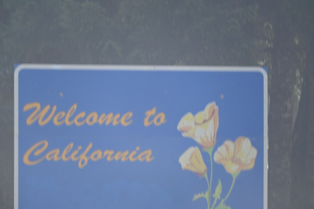
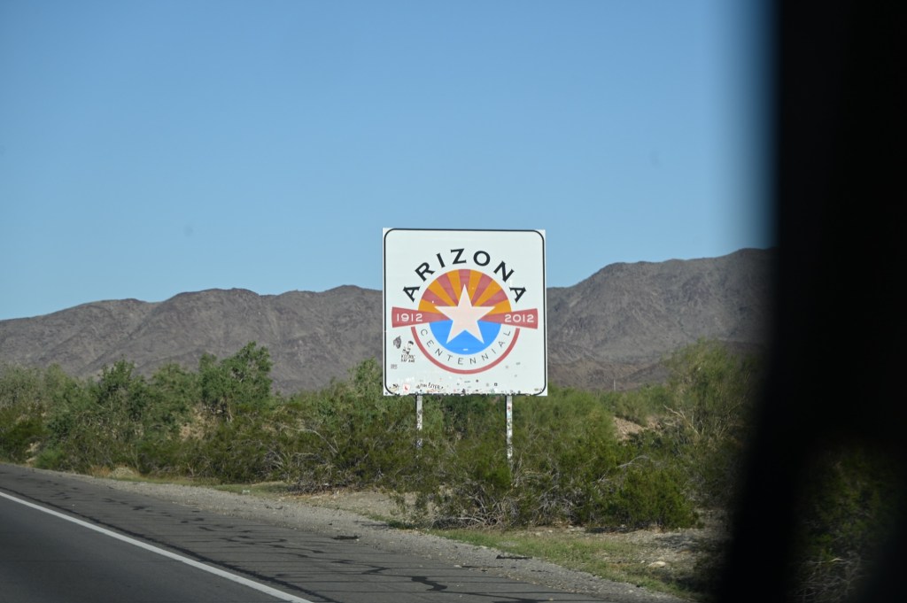
Welcome to California….. just in time for the Government Shutdown!
Nooooooo!
Seriously???? The weather is horrible, and our government has decided to try and ruin our vacation. Sigh…. Don’t they know we planned this trip months in advance purposely to visit National Parks and National Monuments? How are we supposed to get the Passport Stamps in the book?
Government doesn’t care. Time to Improvise.
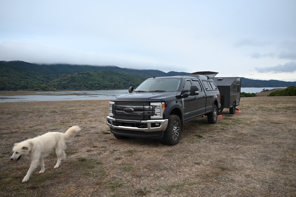
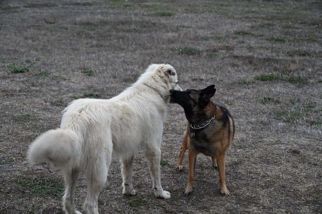
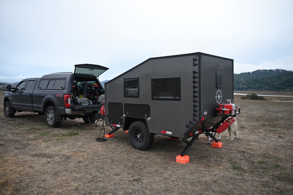
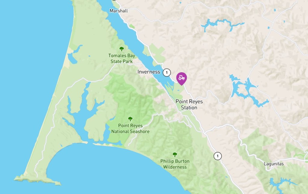
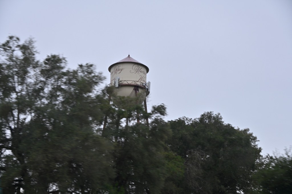
Harvest Host near Point Reyes
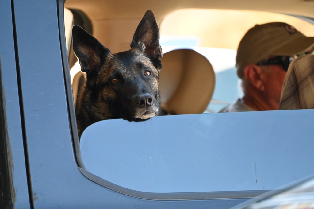
Bianchini Ranch, Point Reyes Station. A great host with wide open fields for camping, with beautiful views of the bay. It even came with a huge playmate for Lotti, Murphy the ranch dog!

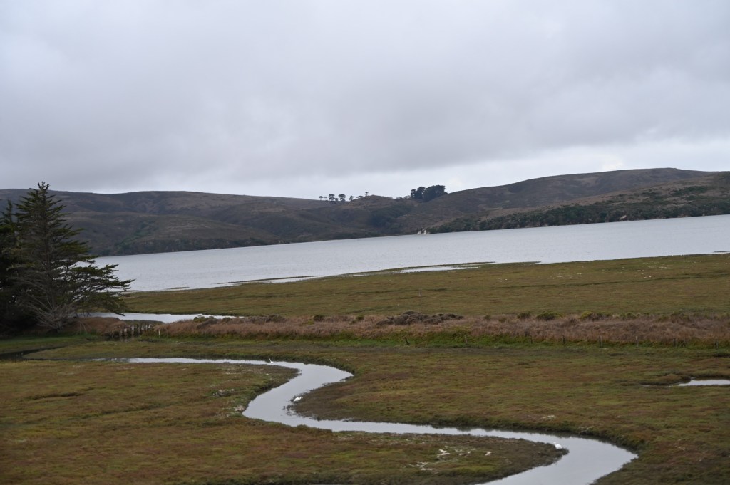
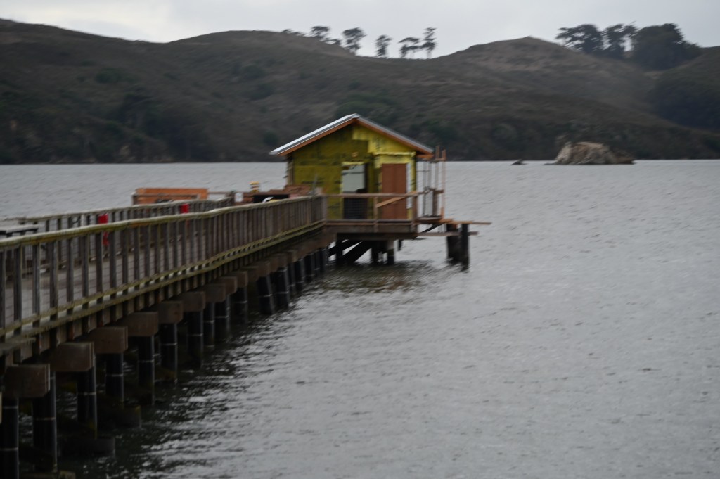
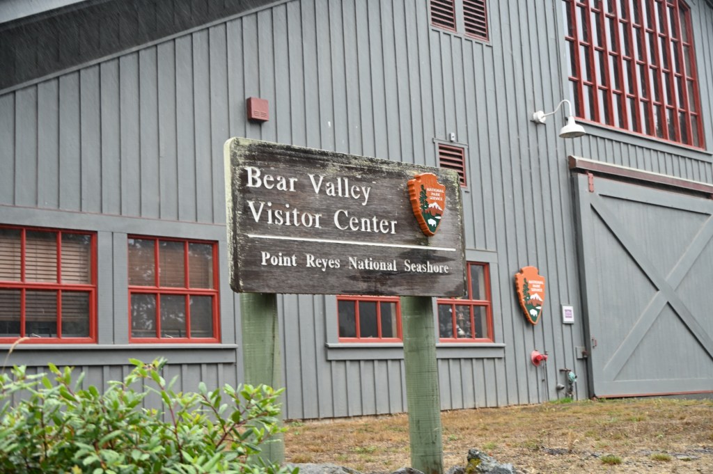
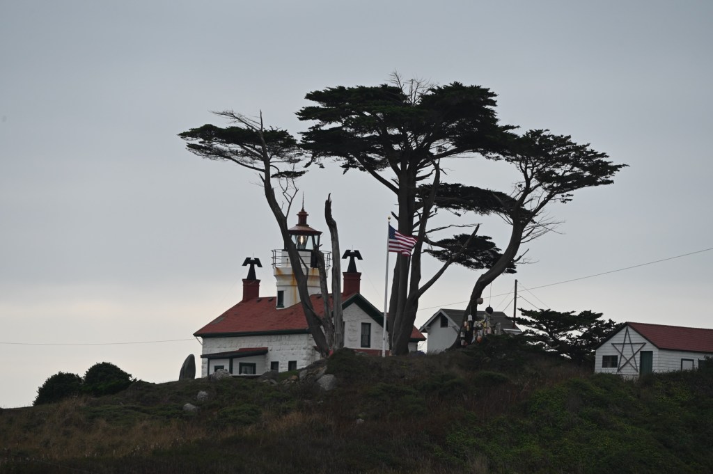
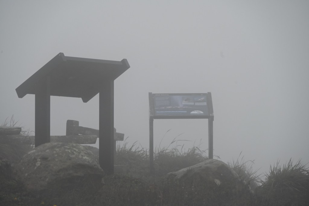
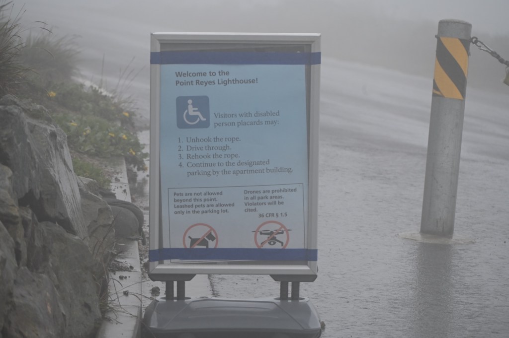
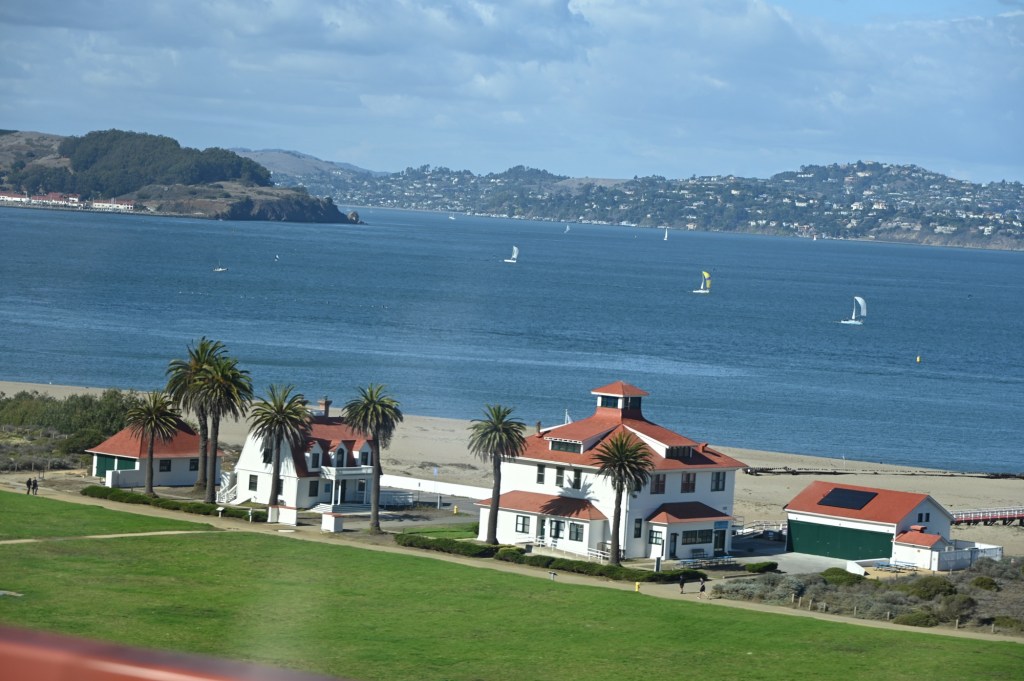
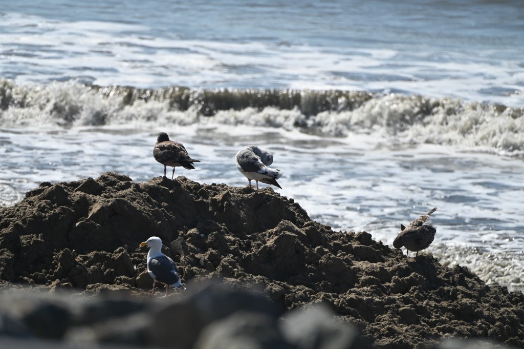
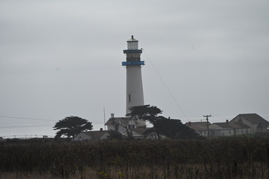
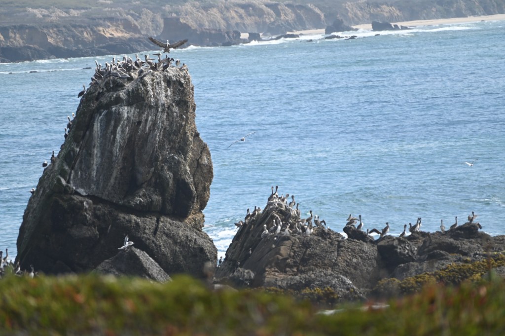
Point Reyes National Seashore
We hear it’s beautiful, but we couldn’t see anything. Of course the Visitor Center is closed. Thanks government. Any chance they’ll get the country back open soon? Fingers crossed.


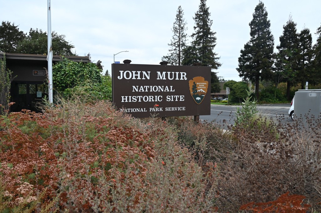
John Muir National Historic Site
The visitor center was closed, but we could at least see the house from the parking lot.
John Muir is my hero. Most importantly, he saved Yosemite Valley from development or possibly becoming a reservoir, and helping it become a National Park.
While living here, Muir realized many of his greatest accomplishments, co-founding and serving as the first president of the Sierra Club,[8] in the wake of his battle to prevent Yosemite National Park‘s Hetch Hetchy Valley from being dammed, playing a prominent role in the creation of several national parks, writing hundreds of newspaper and magazine articles and several books expounding on the virtues of conservation and the natural world, and laying the foundations for the creation of the National Park Service in 1916

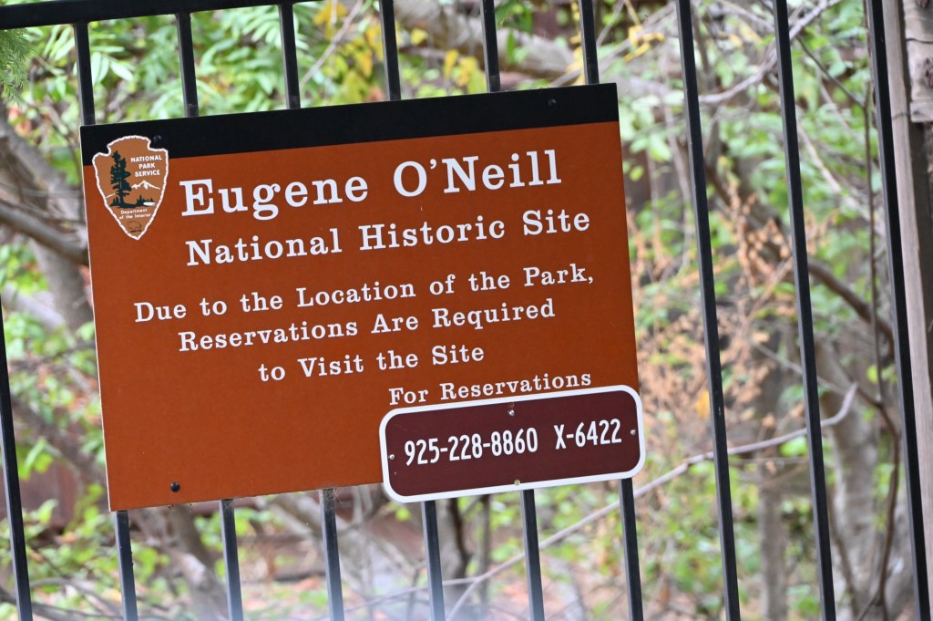
Eugene O’Neil National Historic Site
Not too sure about Eugene’s history, but it’s close by so here we go.
Moving on to the Bay Area
The Petaluma KOA, North of San Francisco is probably the biggest KOA we have ever stayed at.
This is what happened when we complained loudly about the miserable little spot that the KOA initially assigned us to. We had made reservations way ahead of time, but what we’ve discovered is that we needed to embellish a bit the size and needs of our little trailer. The original spot was horrible, intended for a small van or truck camper. They moved us to a VERY premium site for 4 nights. Yes! Thank you KOA!

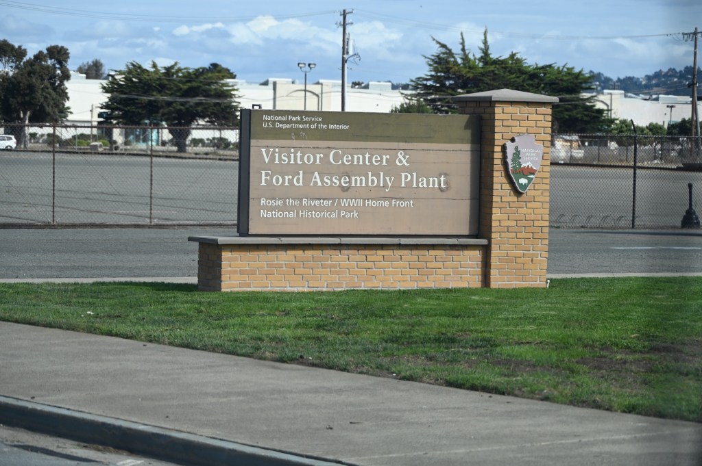
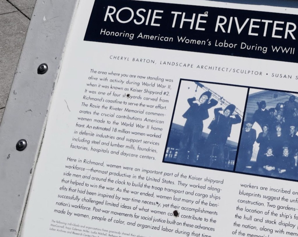
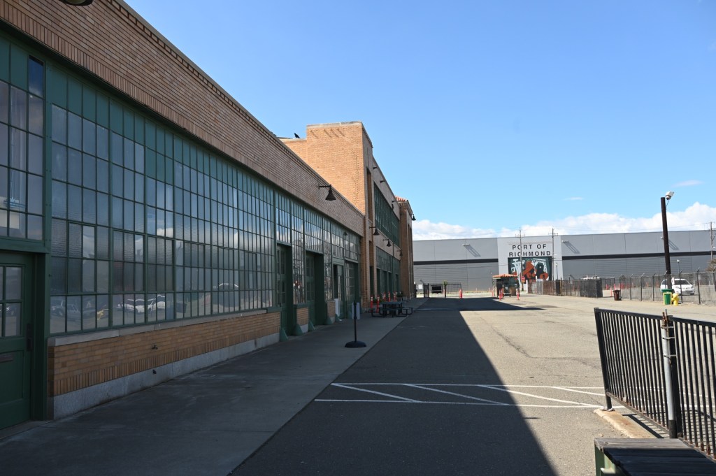
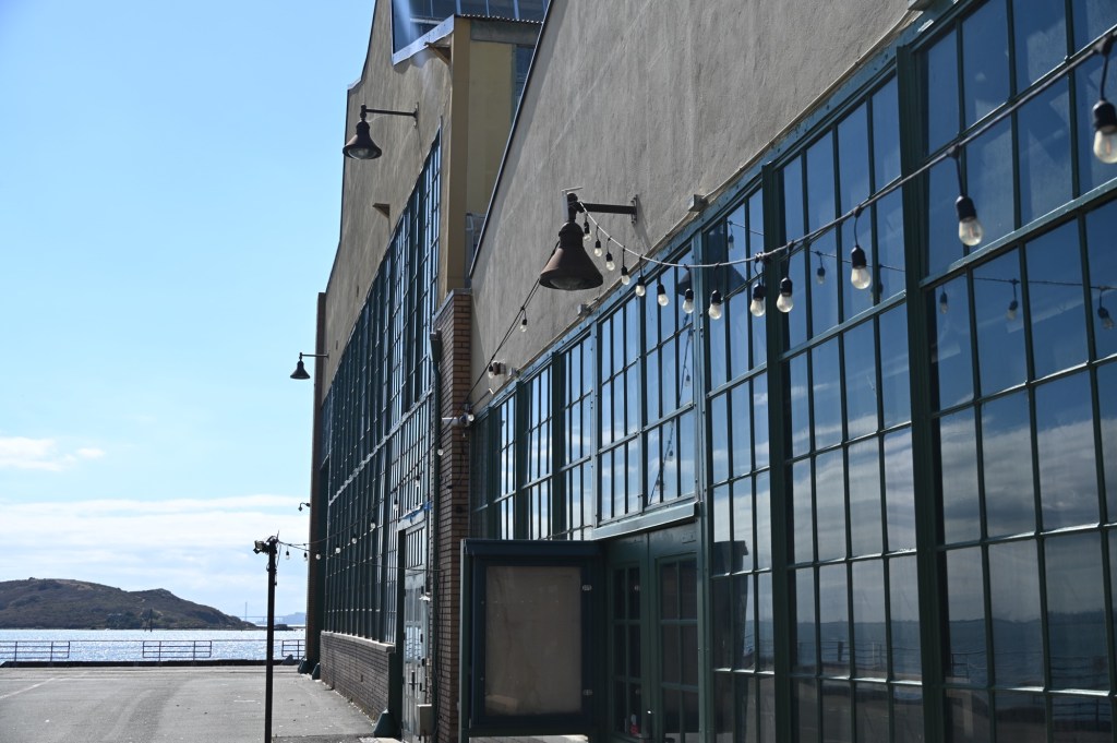
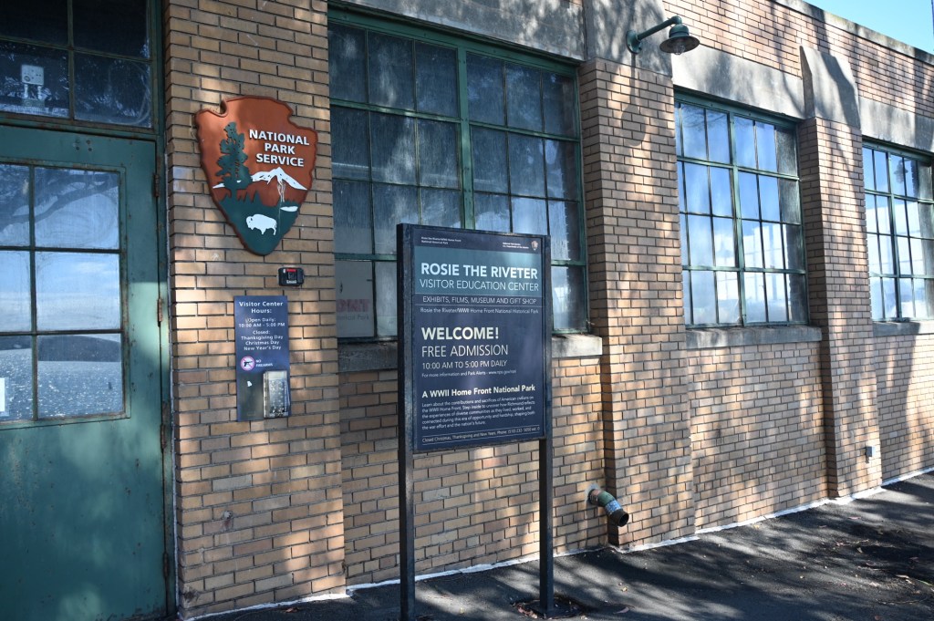
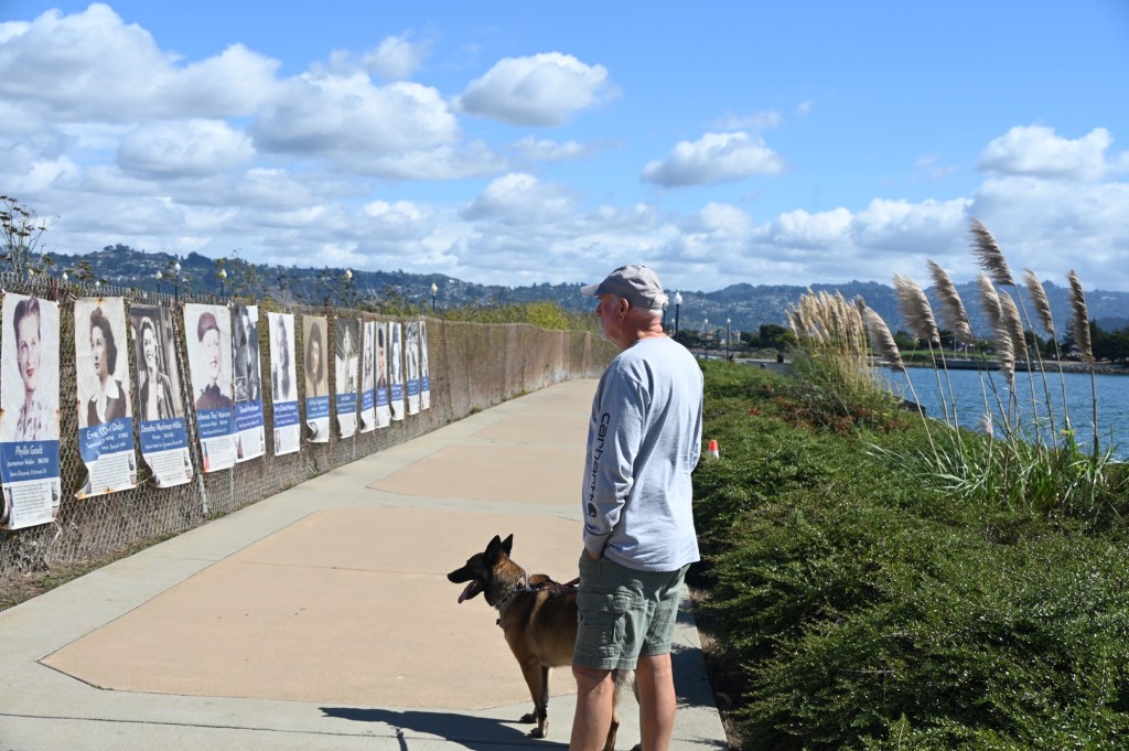
Rosie the Riveter National Historic Park
This is one we were really looking forward to visiting. The old Ford Plant buildings have been a carefully restored and maintained. The visitor Center and Museum were closed, but we slipped through an open gate and were invited in to a part of the building housing the Columbia Sportswear Employee outlet store.
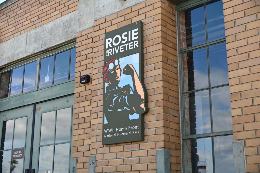
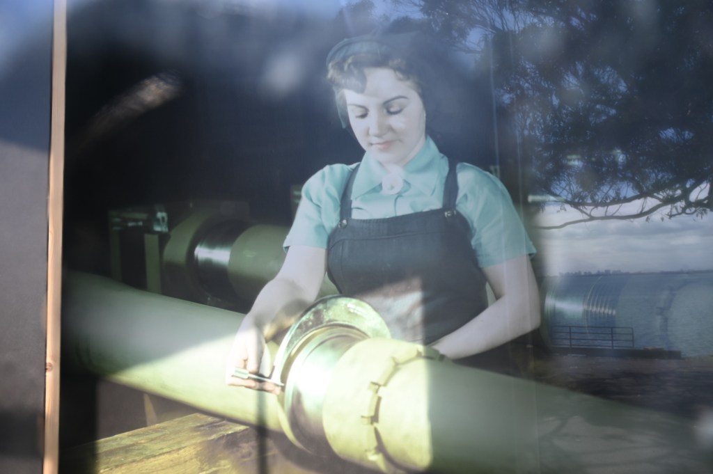
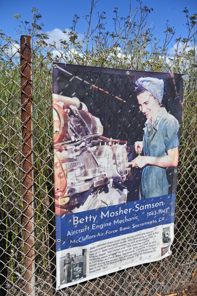
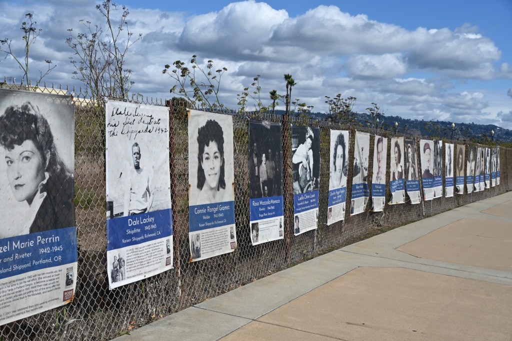
The Ford Motor Company Assembly Plant was the largest assembly plant to be built on the West Coast.[15] One of only three tank depots in the entire country, approximately 49,000 jeeps were assembled and 91,000 other military vehicles were processed here. Ford employed thousands of workers at the site during World War II, many of them women who were entering the work force for the first time. “Rosie the Riveter” was a period song representing these women.
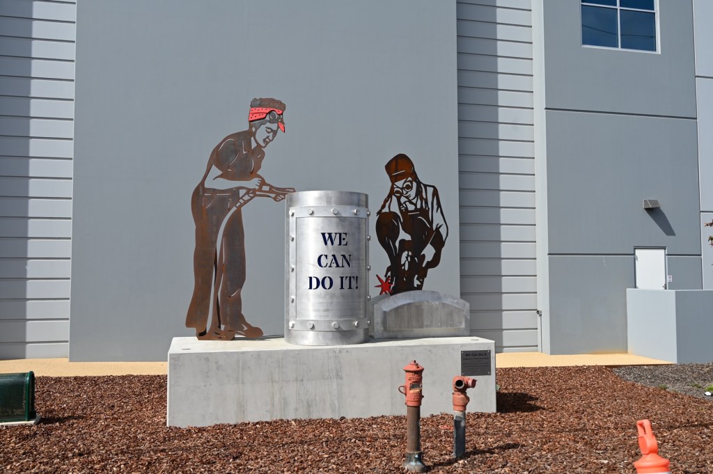
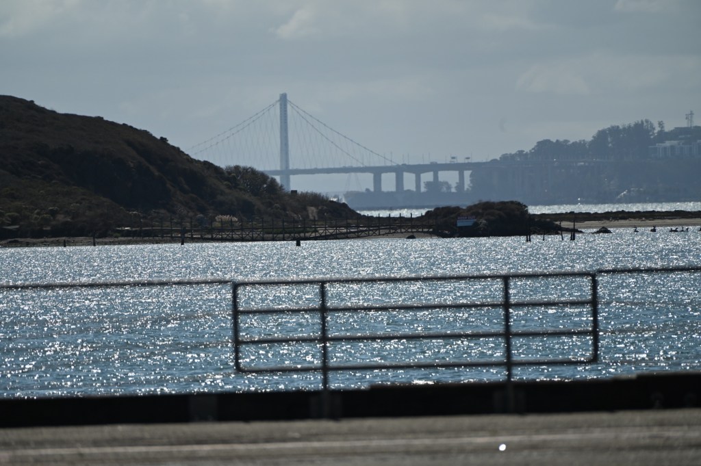
Women also worked at the shipyards
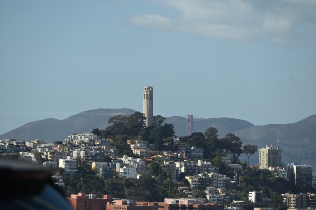
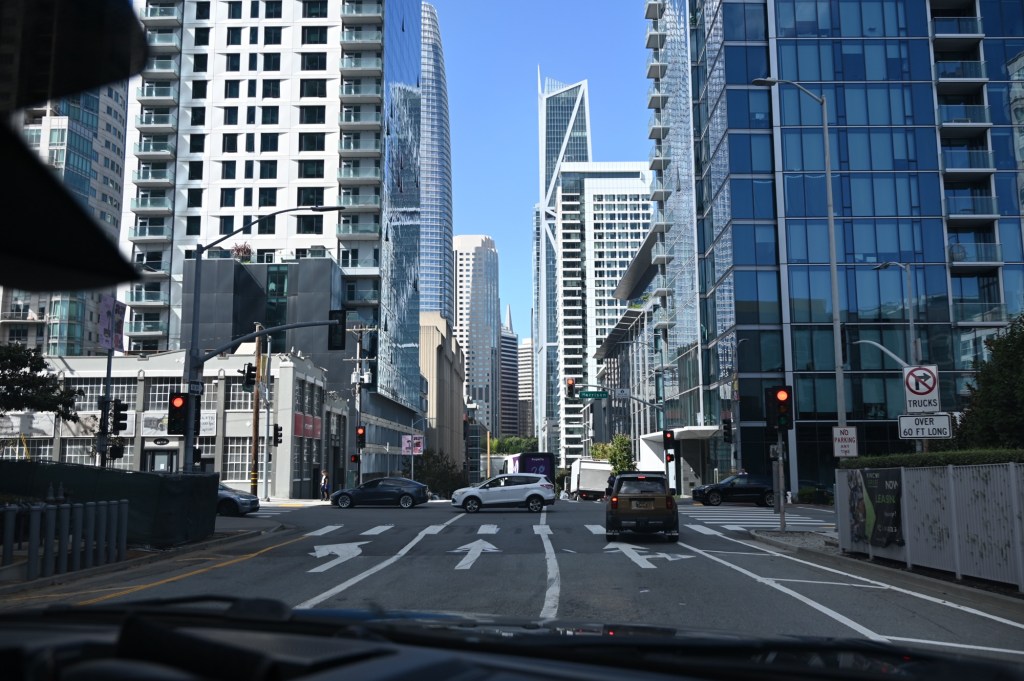
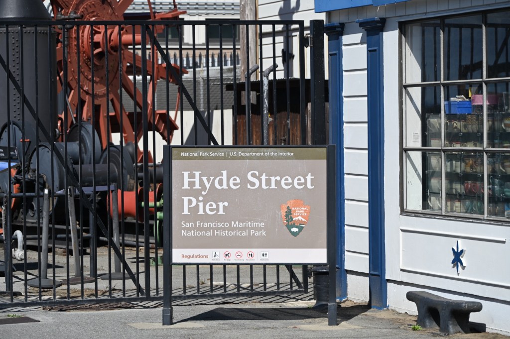
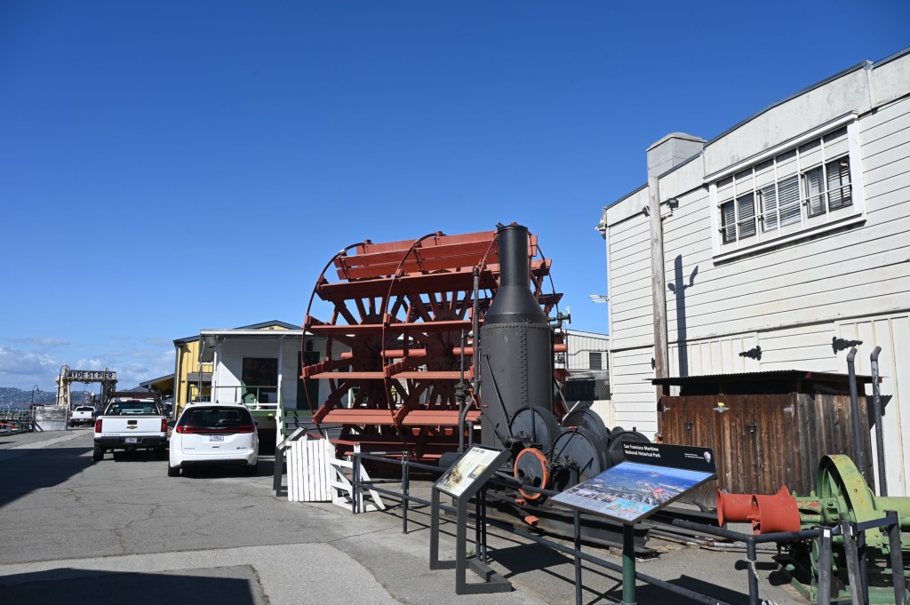
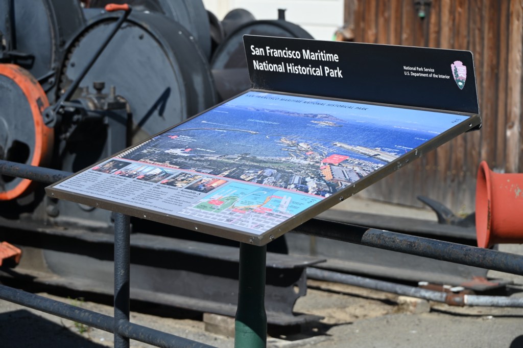
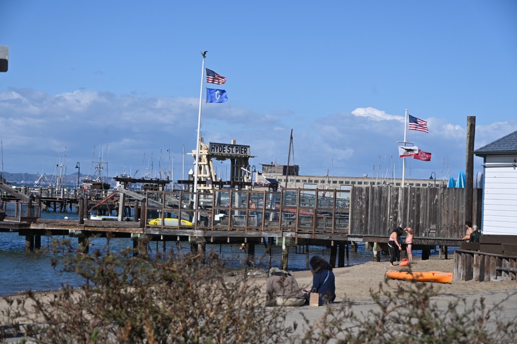
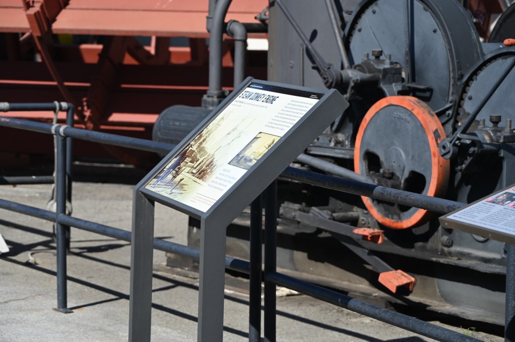
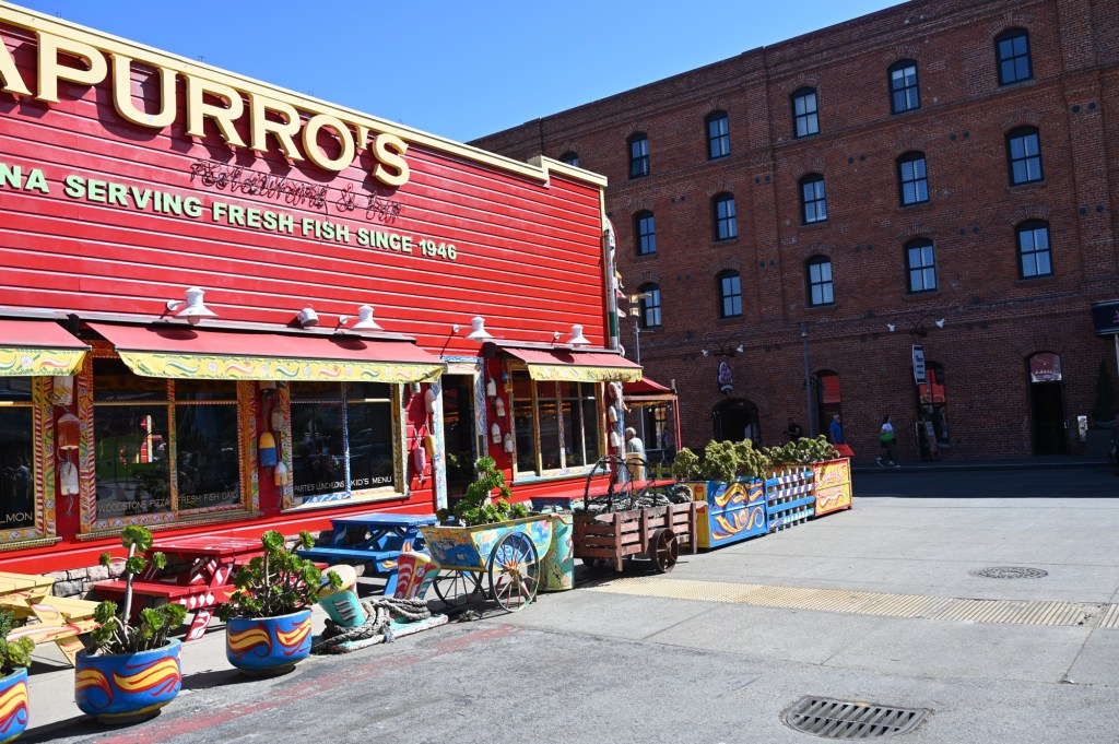
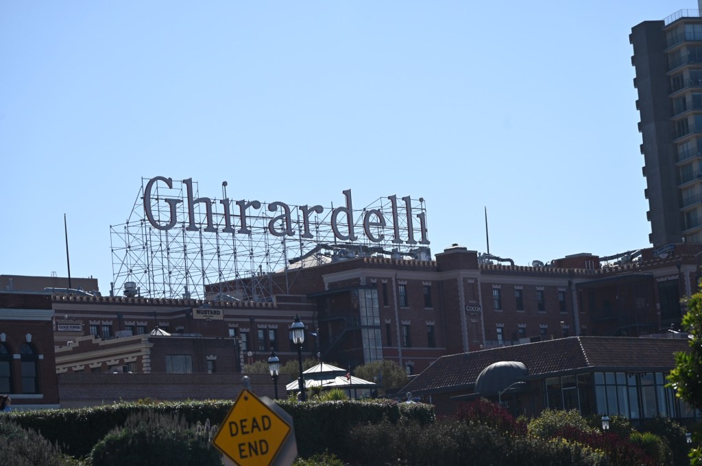
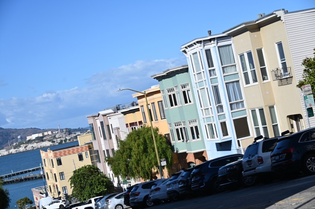
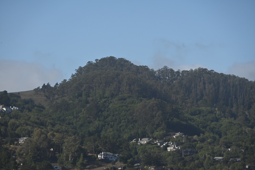
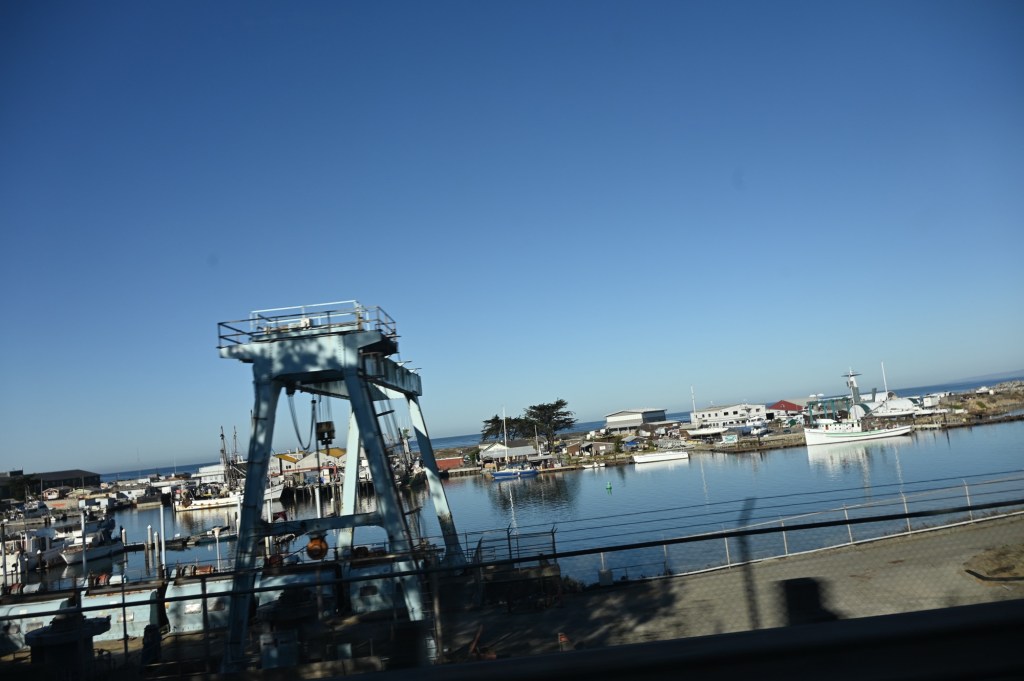
Downtown San Francisco
We finally got a sunny day!


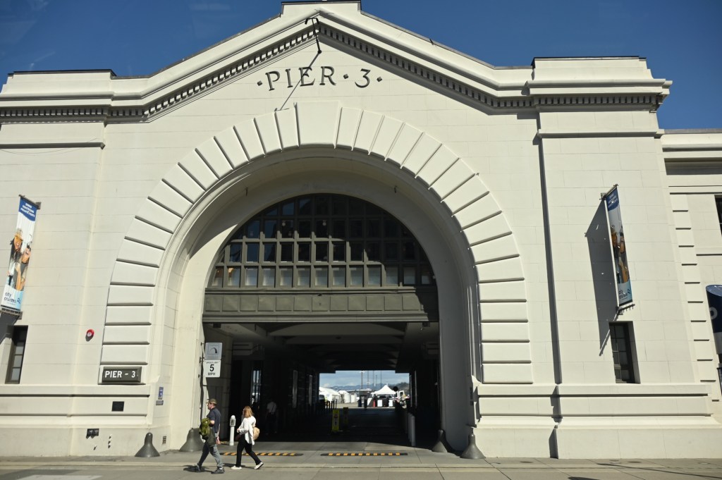
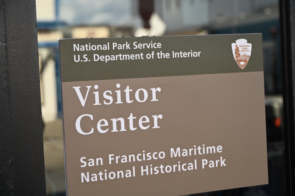
The parking was easy enough with our huge truck, but the Historical Park was closed. We had really hoped to walk out on the pier to see the historic displays, but the best I could do was capture pics through the chain link fence.
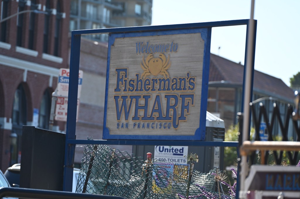

The fish and chips were delicious!
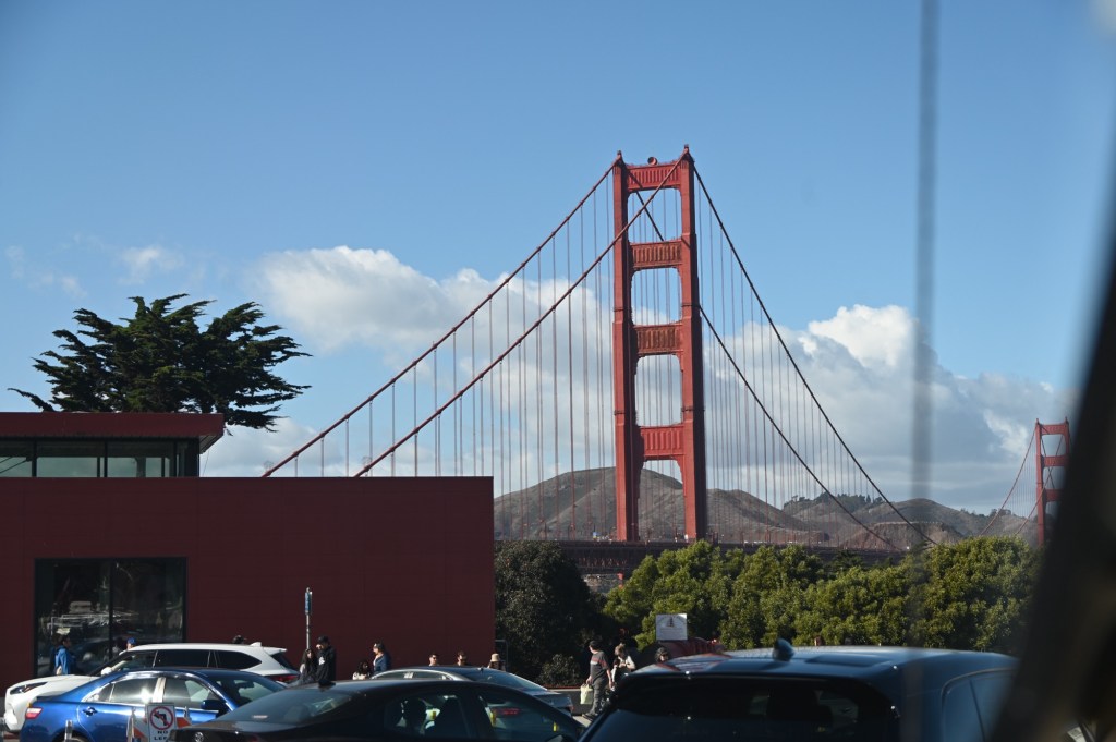
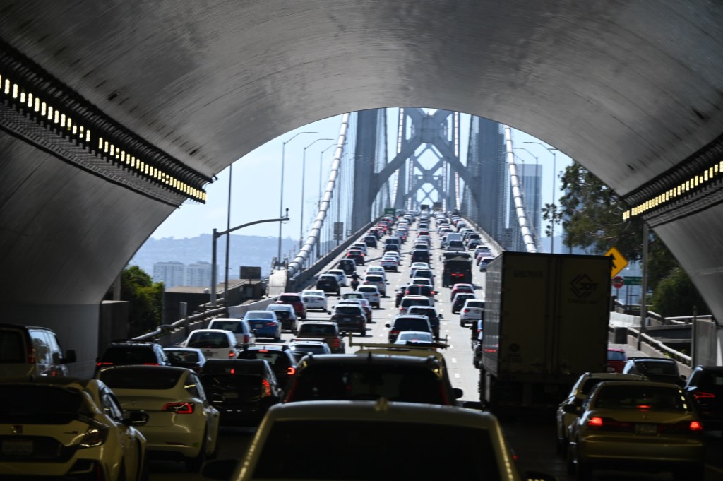
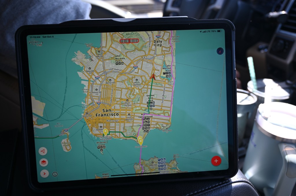
We went back to the KOA for one more night (and laundry), and then we were headed south, back over the bridge with nowhere to pull over for the good photo op. Oh well… we’ve been over it many times.
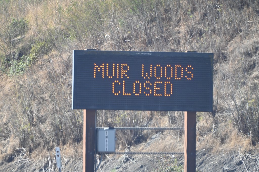
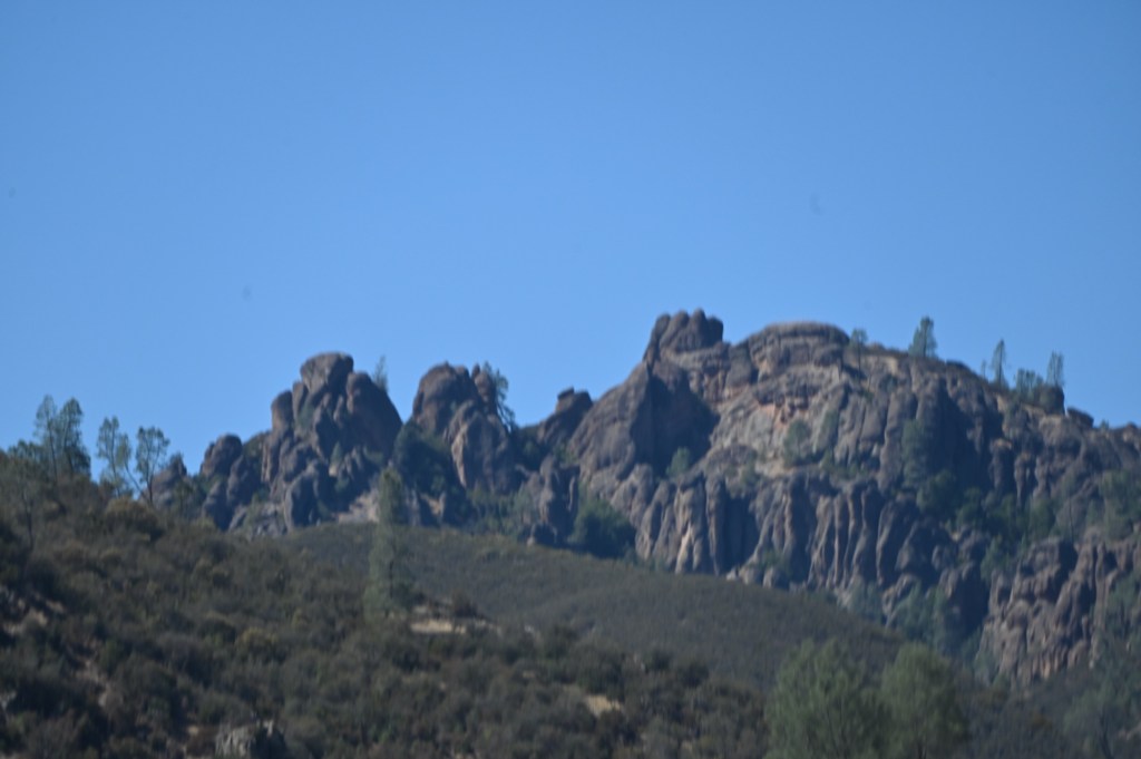
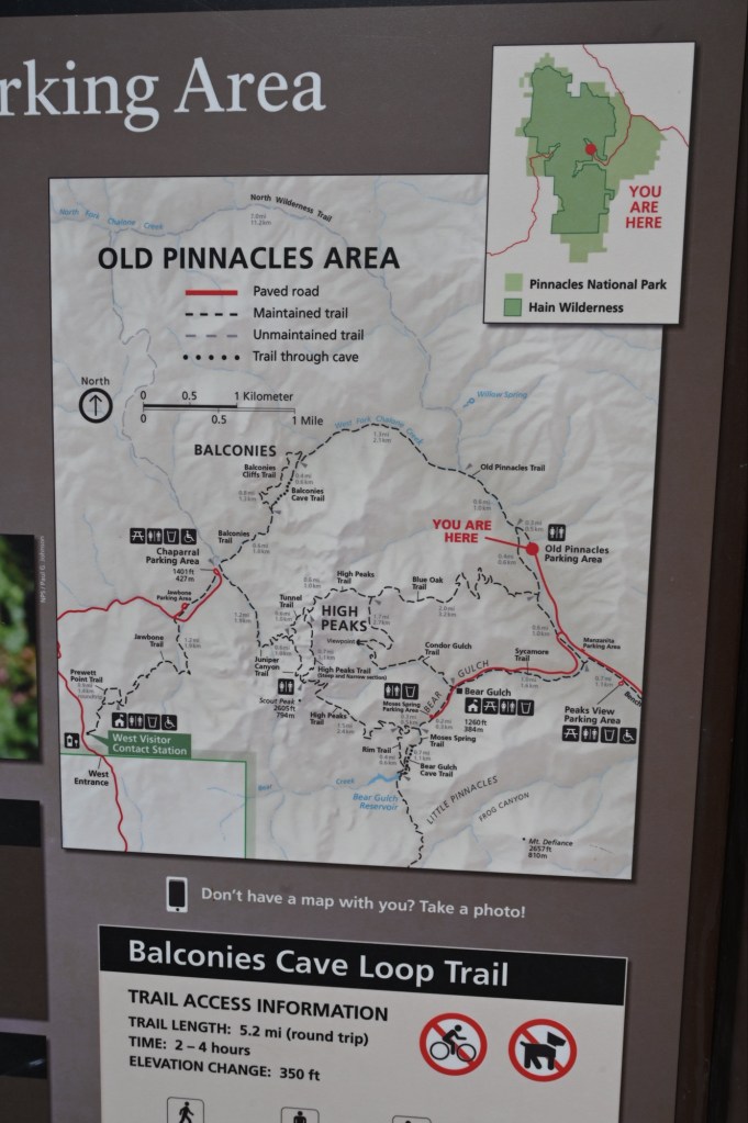
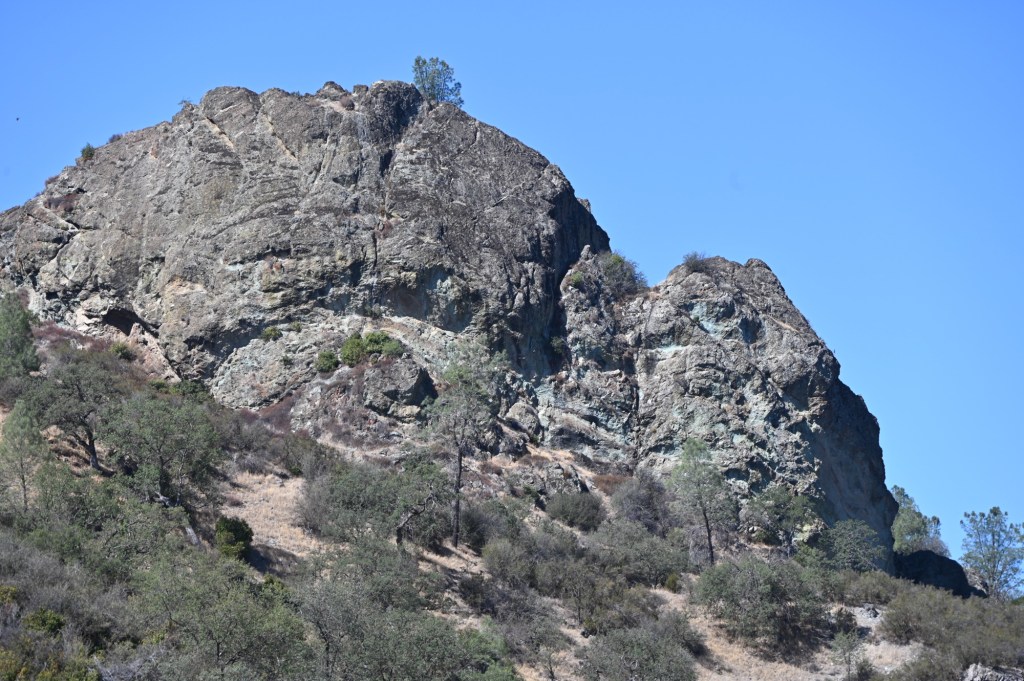
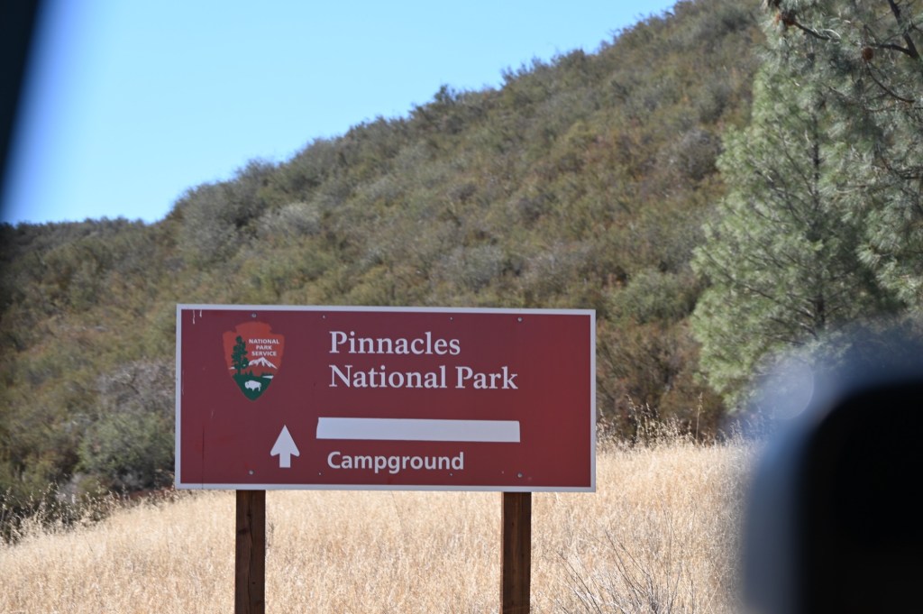
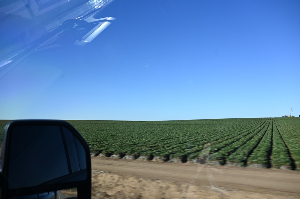
We took a side trip to Pinnacles National Park, realizing that it was closed and hoping for the best.
Some National Parks are out of the way and just quiet and peaceful as is this one. Pinnacles is obviously all about a the hiking trails, most of which are not dog friendly. I wish we could have seen the condors that nest here.
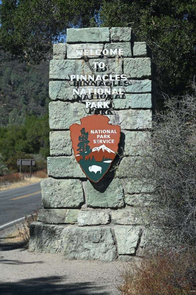
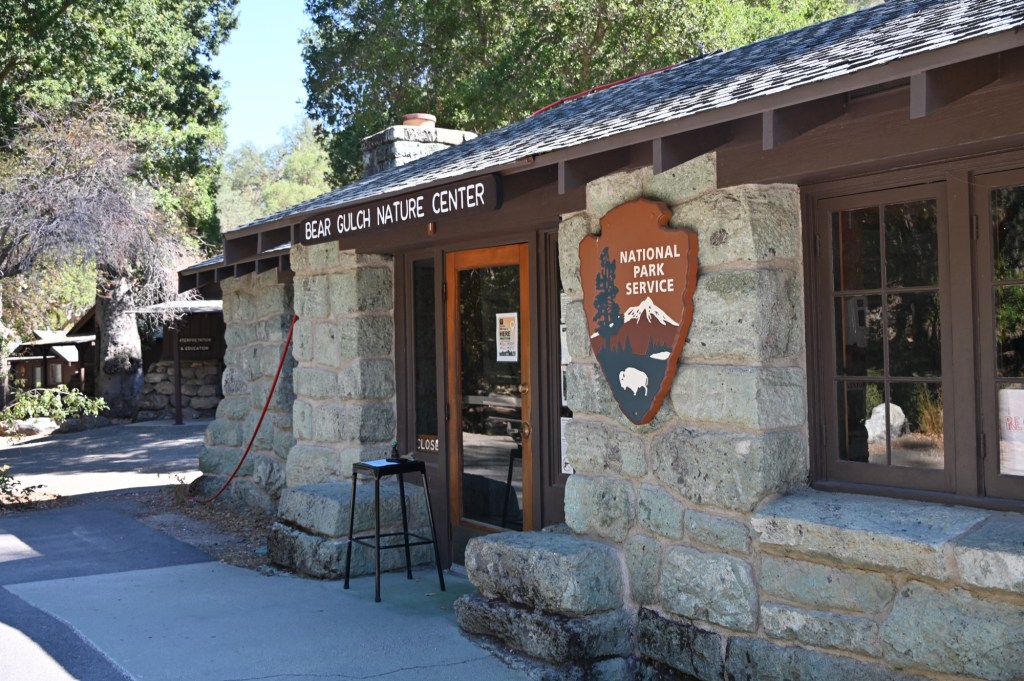
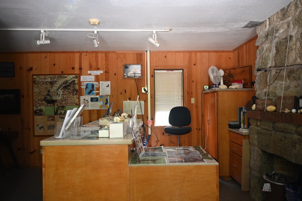
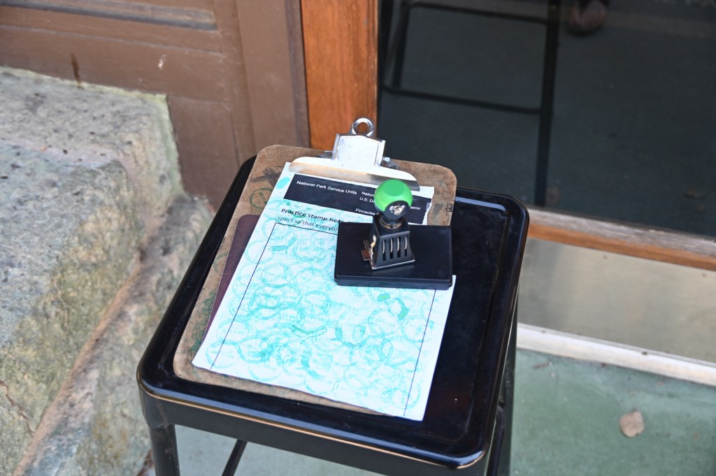
The visitor center was closed, but a little gift store was open and what do you know, a kind park ranger put the Passport Book stamp outside on a table. That was thoughtful.
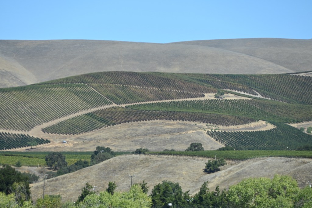
Overall it was an uneventful day, but the drive was beautiful through the farmlands.
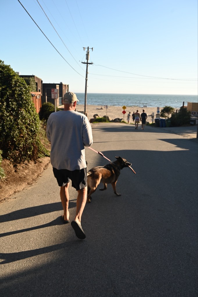
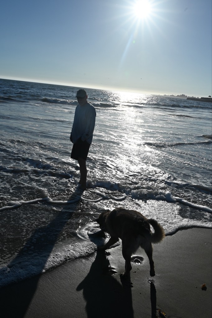
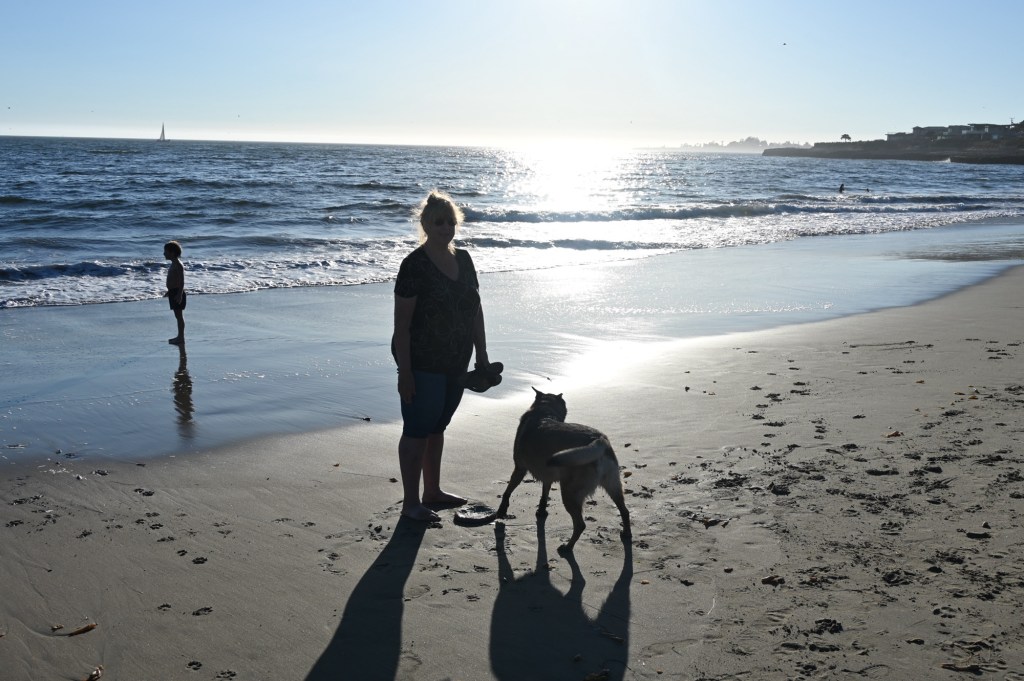
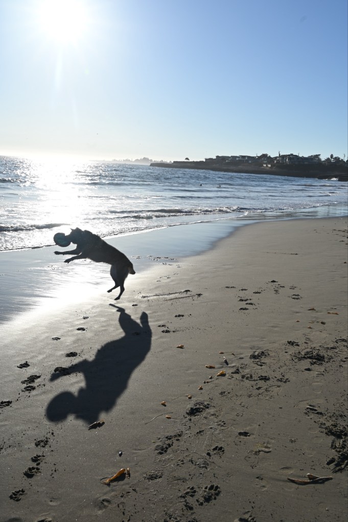
Back in Santa Cruz, our little RV park was just blocks from the beach.
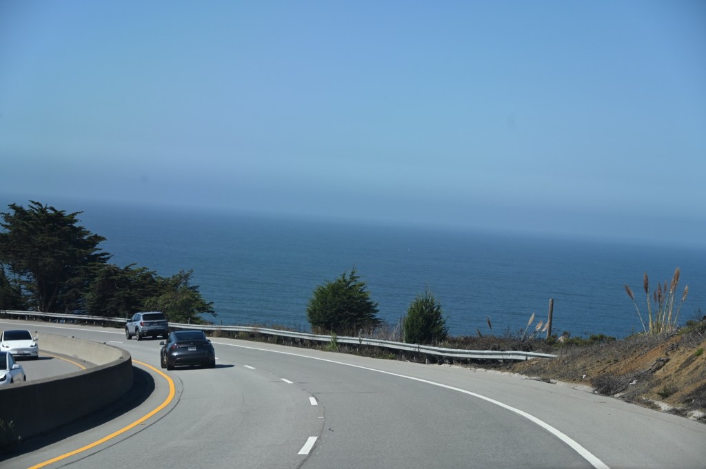
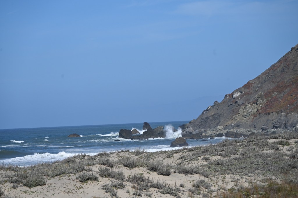
The Big Sur Highway
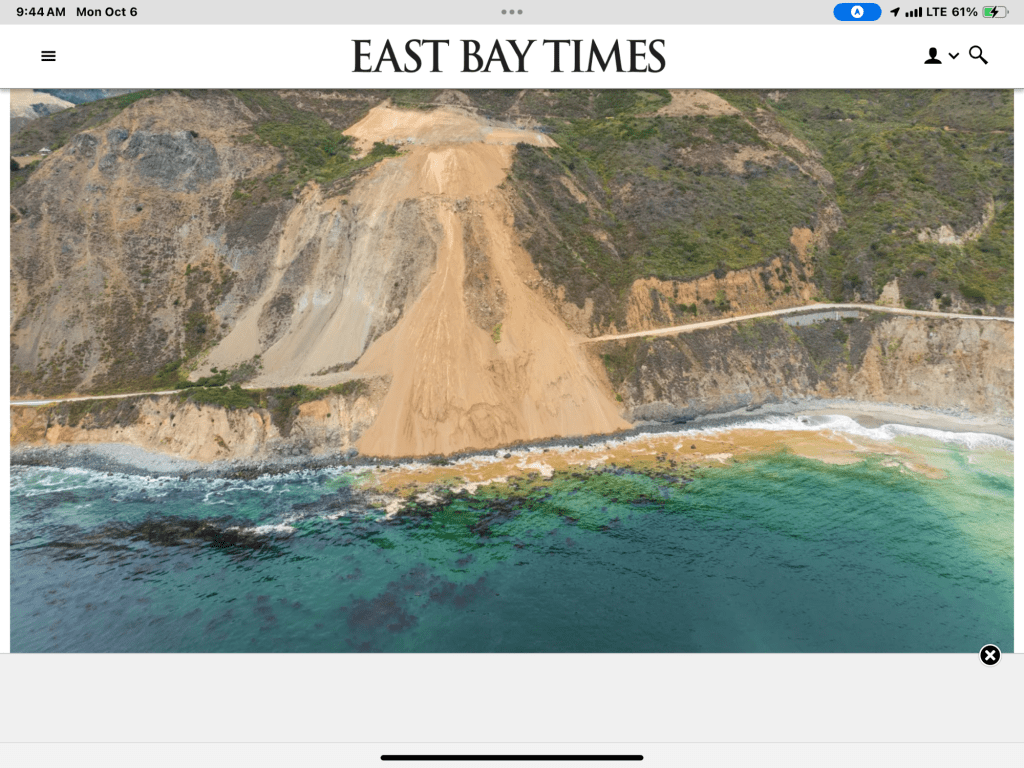
Or not. Somehow in my months of planning, and for this entire trip I (we) had forgotten that the Big Sur Highway had suffered a catastrophic landslide. We passed through Monterey and Carmel and saw the sign “Big Sur Hwy Closed Indefinitely, No Detour”. Too bad.
See the pic from the web below. It’s going to be awhile till that’s fixed. So, we back tracked and headed over from the 1 to the 101.
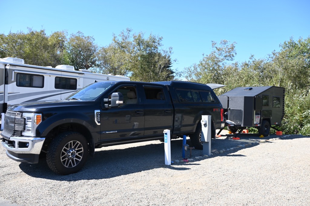
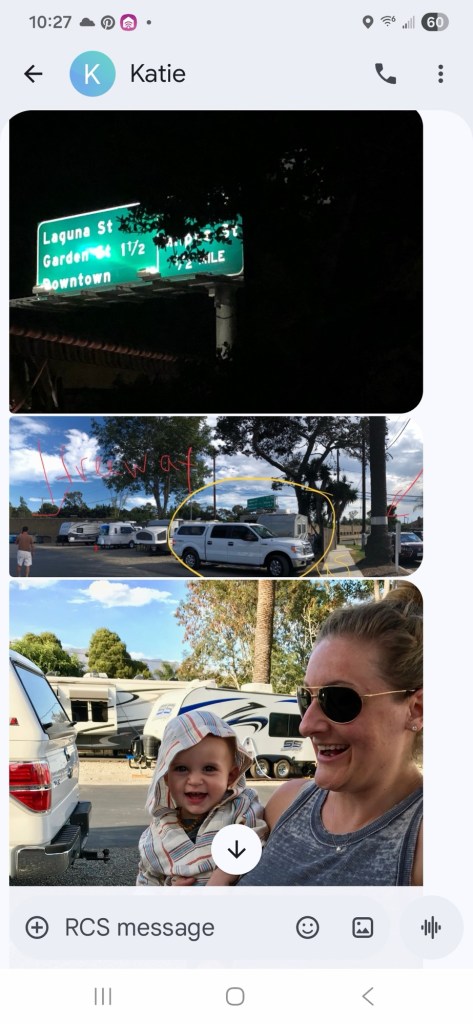
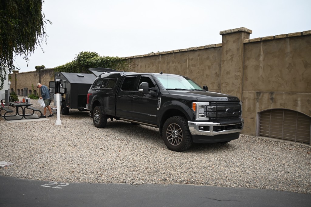
Santa Barbara Sunrise RV Park
The ad for this little RV park was so funny. It boasted great central location in the heart of Santa Barbara. True, it was convenient but wow!! Our spot was up against the actual 101 Freeway wall. The RV Park entrance driveway was actually part of the freeway off-ramp. How did that ever pass California regulations? (The RV park was obviously here first.)
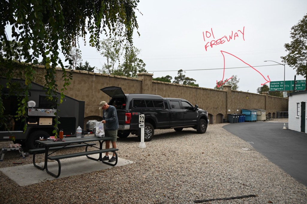
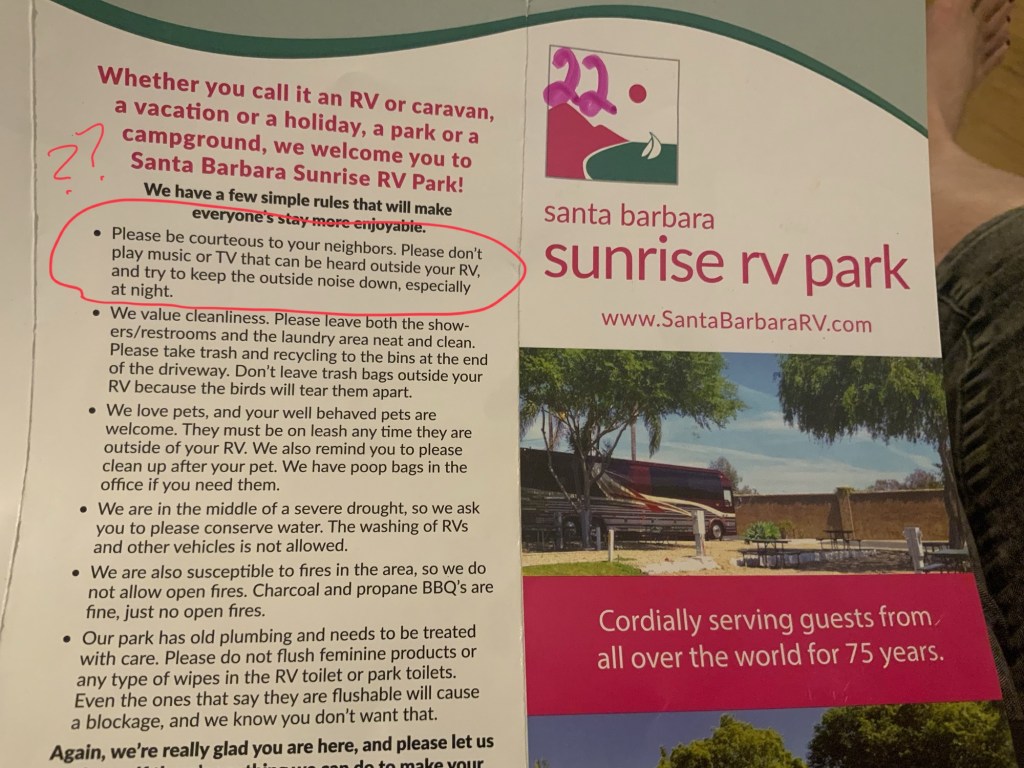
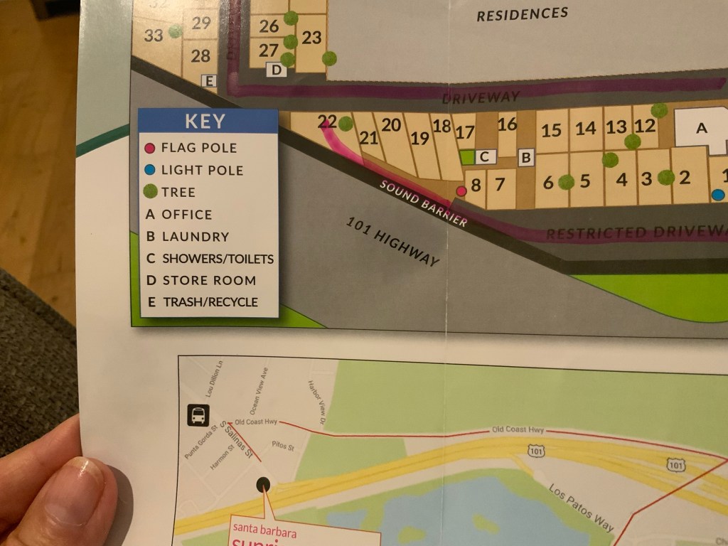
This was the craziest location ever. But it turns out our kids had also stayed here on an rv trip years ago. They picked it because it’s close to the Santa Barbara Zoo. I have this old message that they had sent because it was just so ridiculous! Who camps on the Freeway?? Us!! Yep, it’s a family fav!!
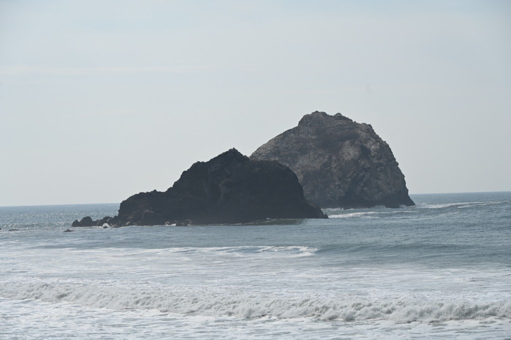
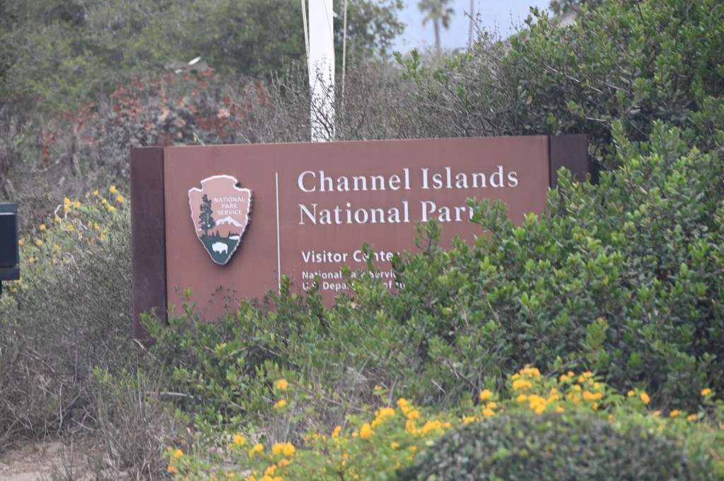
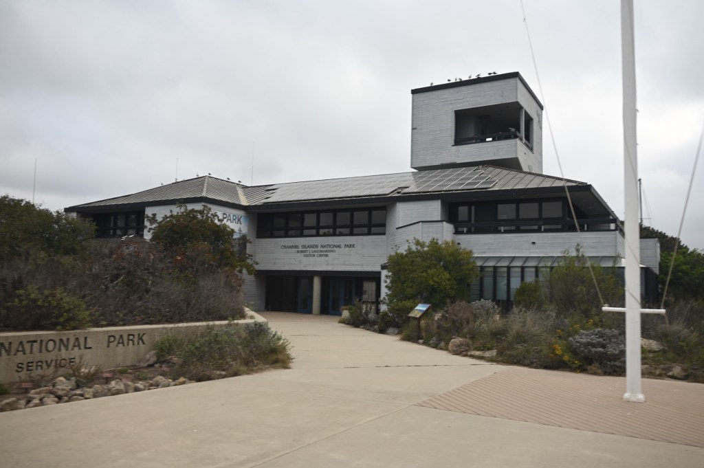
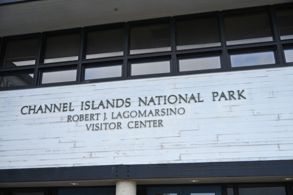
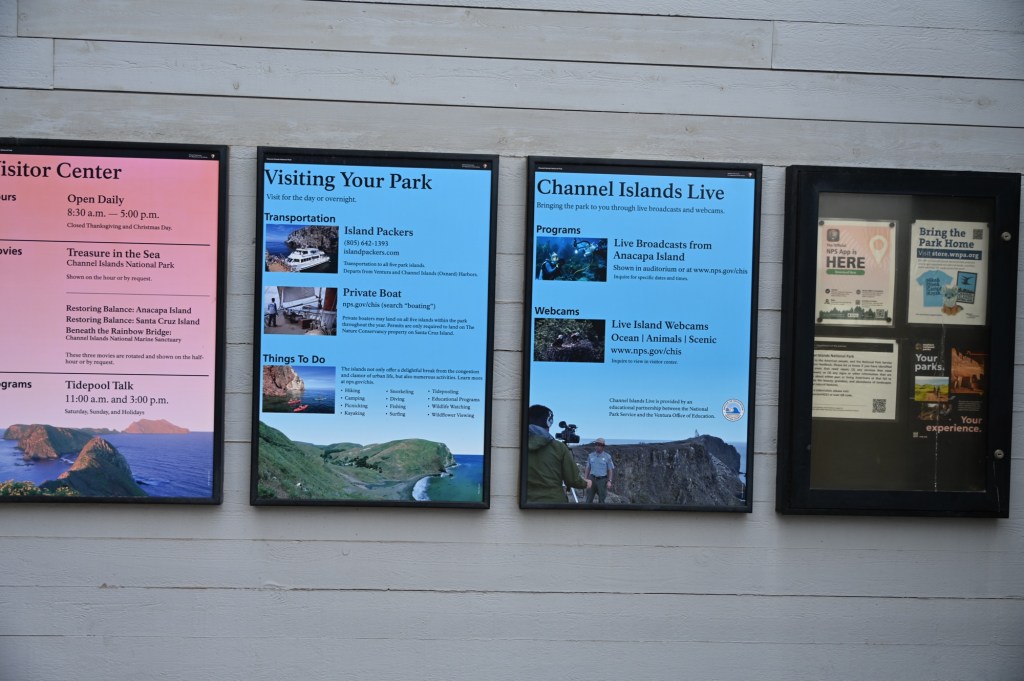
The Channel Island National Park
Thanks again government shutdown. Nothing to see or do here. The visitor center was closed and the ferries out to the islands weren’t running. It was just dead, and raining.
We’re starting to think it’s time to go home.
One more stop before we turn east toward home. Yes, we had planned to go all the way to San Diego, but it’s sort of pointless to take in the sites under these conditions.
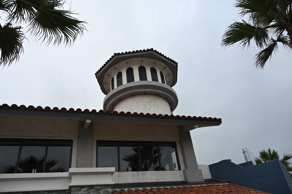
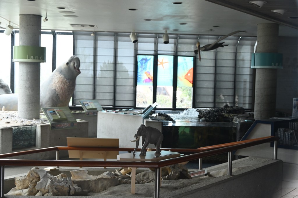
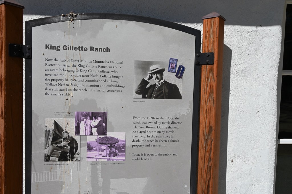
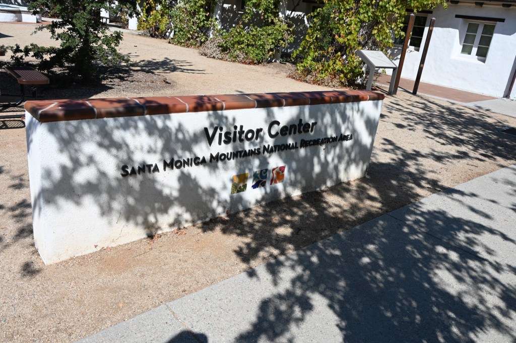
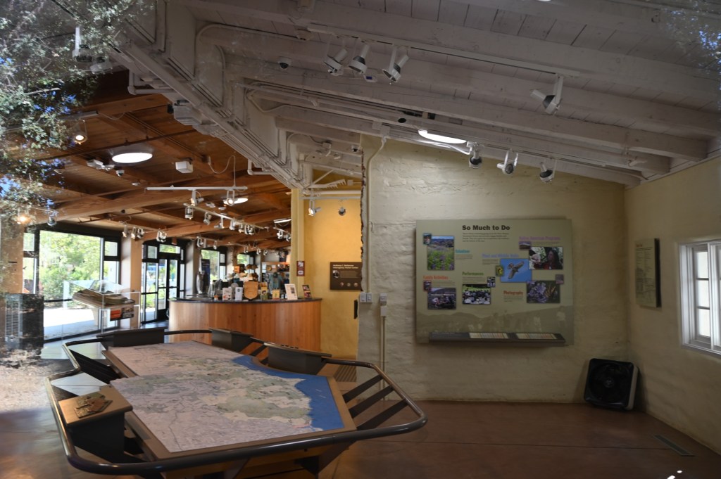
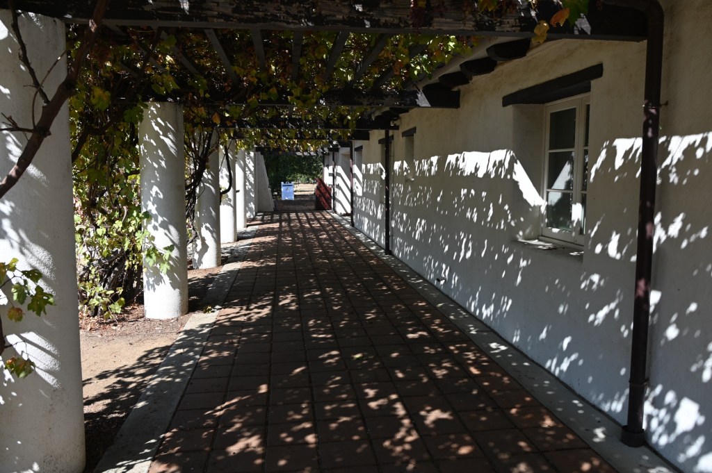
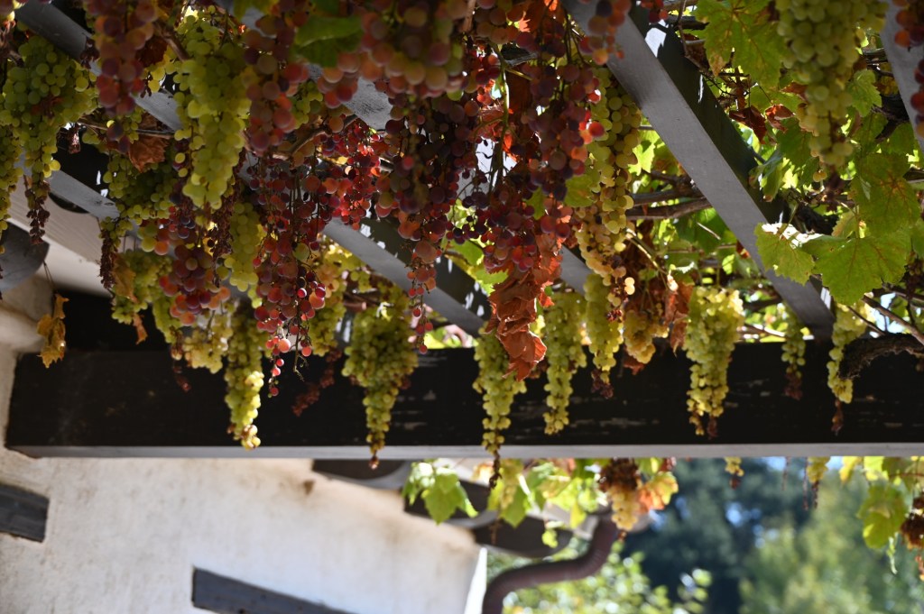
The Santa Monica Mountains Recreation Area

The Santa Monica Mountains National Recreation Area is a large, protected area in Southern California that includes many individual parks and open space preserves within the Santa Monica Mountains. It is the largest urban national park in the United States, offering a wide range of activities like hiking, beach access, and wildlife viewing, and is home to a diverse ecosystem with over 1,000 plant species and numerous animal species. The area is a popular destination for both its natural beauty and its historical and cultural sites, including old movie ranches and Native American centers.
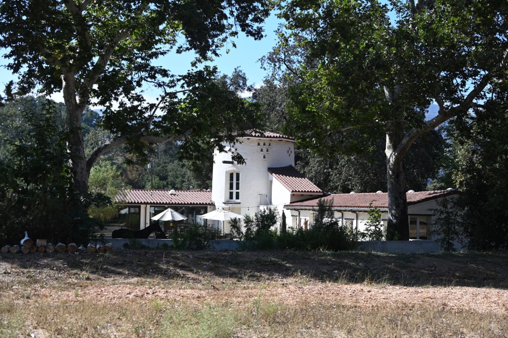
This was a pleasant surprise. We were so close to Malibu and Los Angeles, but it felt like we were miles from nowhere. It felt like a very nice place to have lived. The Gillette family ranch (yes the razors) shared the valley where the Indians originally lived. You could just feel the history. Of course the visitor center and museum were closed, but we had a really nice walk around the grounds.
Let’s go home!
We did have a wonderful trip in spite of the shutdown, weather, fires, etc. I’m late putting this blog entry together and as I go through the pictures I’m amazed at how much we did! And our little rig worked great!


Thanks for sharing, looks like a great trip! Mike
LikeLike